
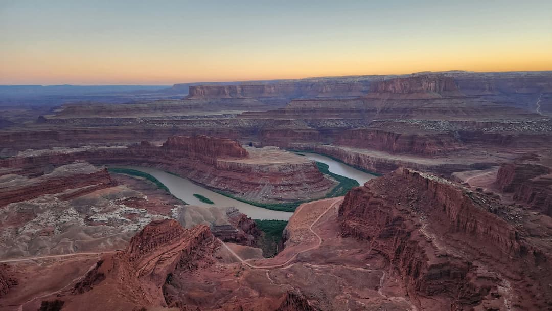
Parkwolf’s Dead Horse Point ranking
Top sights in Dead Horse Point
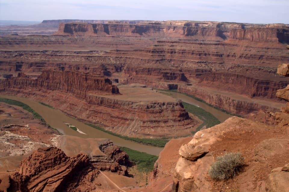 1SightDead Horse Point OverlookA short paved stroll to a huge river bend, 2,000 feet below.
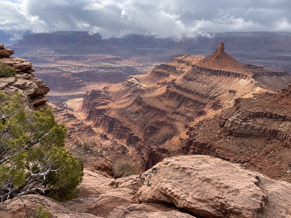 2SightBig Horn OverlookA long, exposed walk to a different angle on Shafer Canyon.
 3SightMeander OverlookA few steps off the trail for the river’s broad bend.
 4SightCable Line OverlookSee a 1950s cable hoist above the Colorado River and potash ponds.
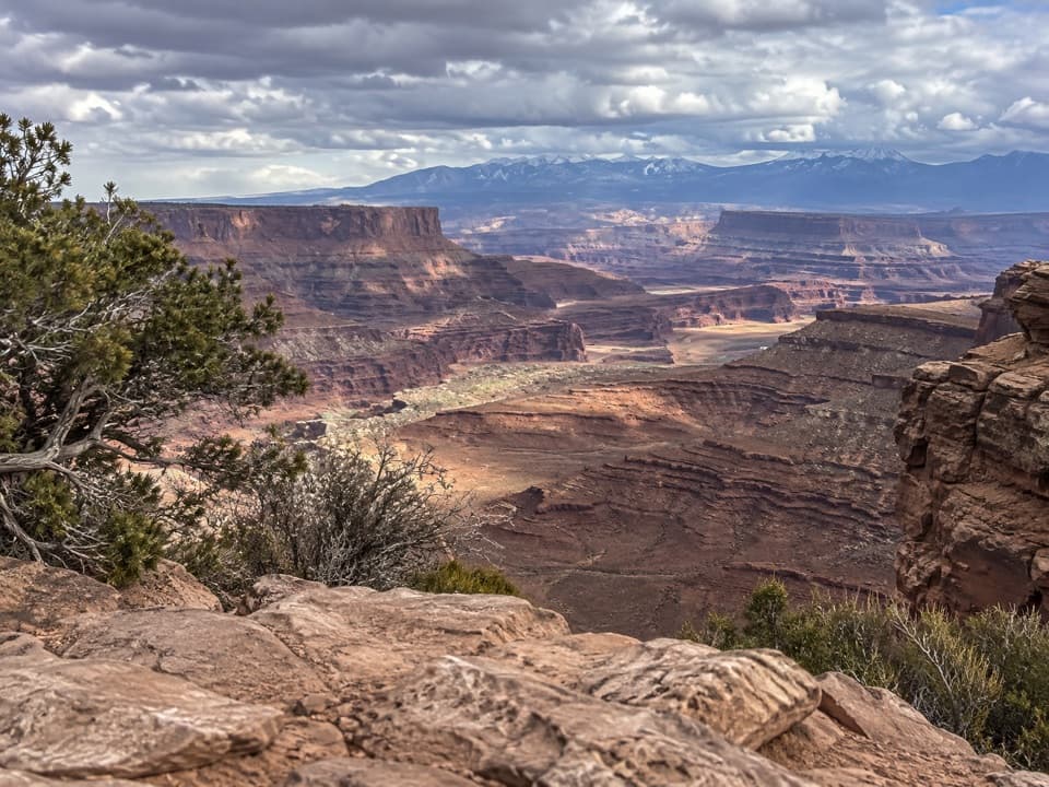 5SightShafer Canyon OverlookA West Rim spur opens onto Shafer Canyon above the river.
 6SightRim OverlookA West Rim spur for an eastward look into Canyonlands.
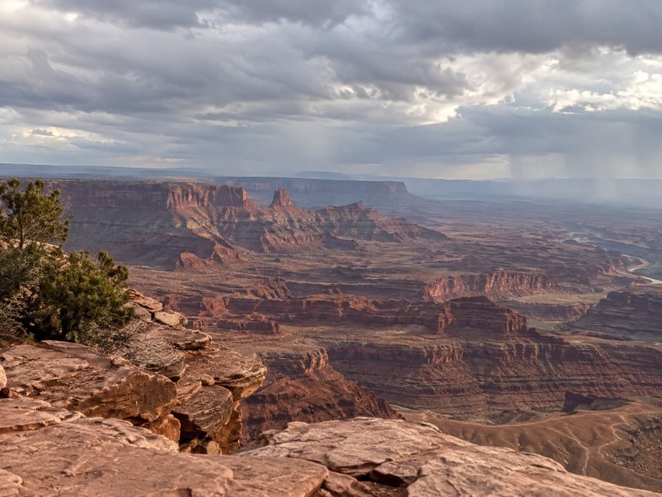 7SightBasin OverlookA quieter shelf for La Sal Mountains, canyon towers and mining ponds.
 8SightDesert View OverlookAn easy half-mile walk for canyon layers and a different rim view.
 9SightPyramid Canyon OverlookA rocky spur opens an unobstructed look into Pyramid Canyon.
Hiking
Top trails in Dead Horse Point
- 12 easy
- 9 moderate
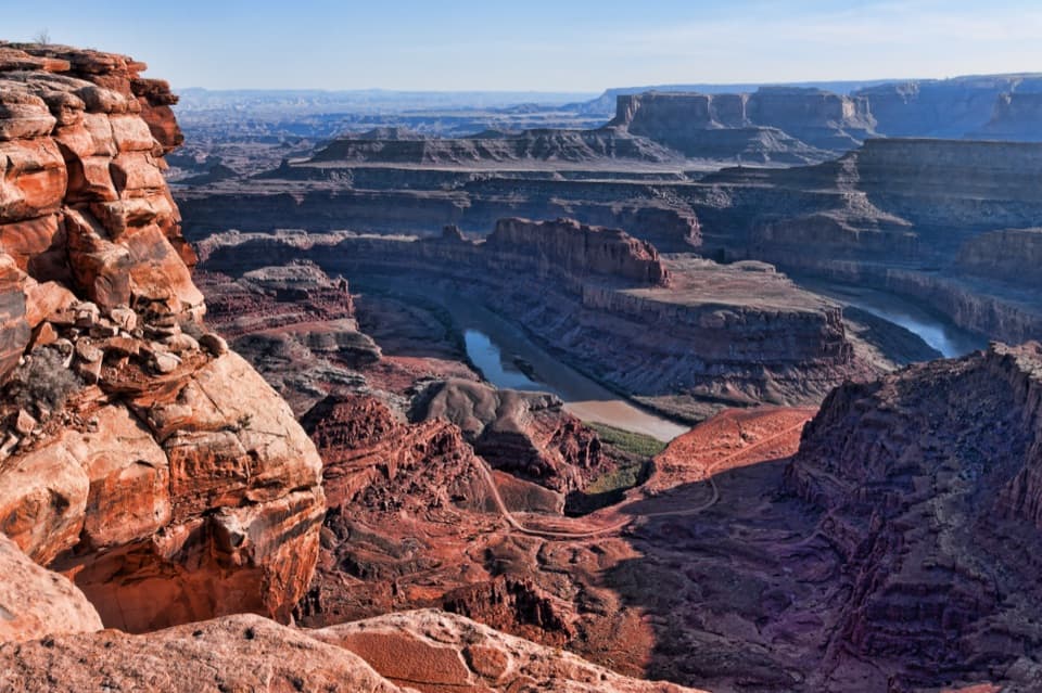 EasyOverlook Trail0.1 mi · 15 minA paved path to the Colorado River, 2,000 feet below.
 ModerateEast and West Rim Loop4.4 mi · 4 hrThe 4.4-mile loop links both rims at Dead Horse Point.
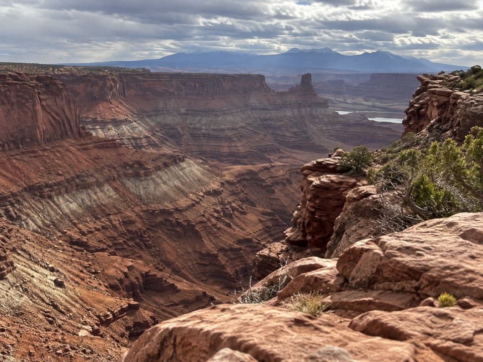 ModerateBighorn Overlook Trail3 mi · 2 hrCairns lead to deep potholes and a distant horn-shaped fin.
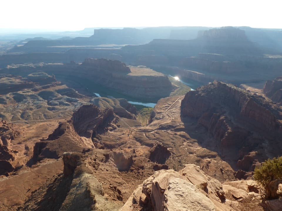 ModerateWest Rim Trail2.9 mi · 1.8 hrCairn-marked slickrock ends above the Colorado River.
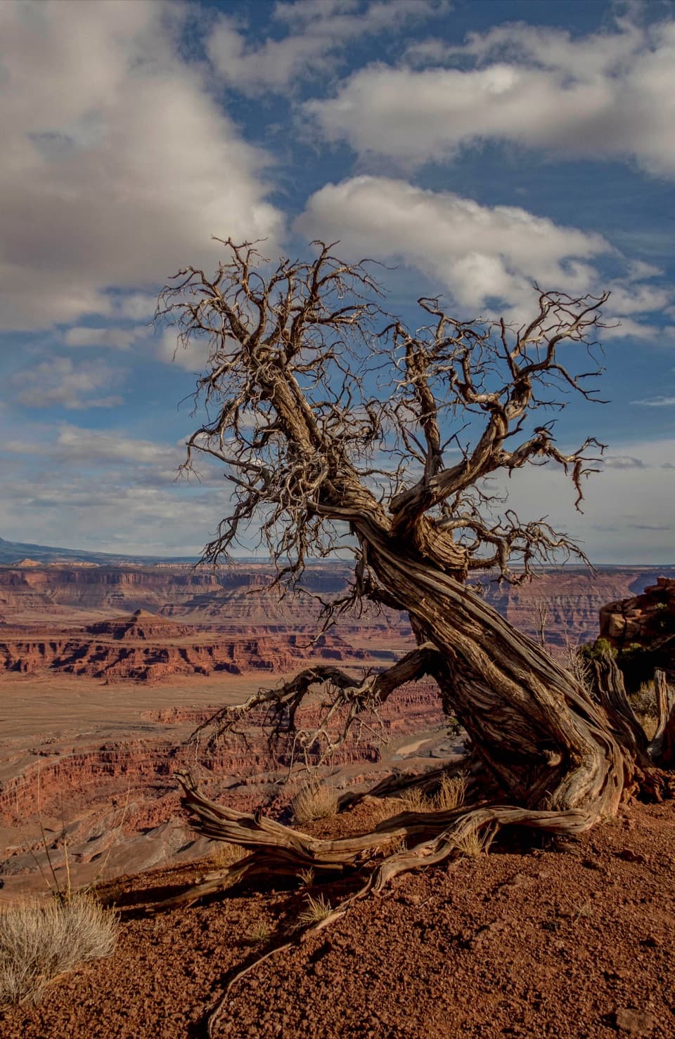 EasyEast Rim Trail to Dead Horse Point1.7 mi · 1 hrEasy rim walking ends above the Colorado River canyon.
 ModerateCable Line Trail6.1 mi · 3.5 hrA mesa hike to a historic cable support
 EasyDesert View Overlook Trail1 mi · 36 minAn easy rim walk to potholes and Colorado River views.
 EasyGreat Pyramid Loop4.4 mi · 2.5 hrA gentle desert loop reaches two Colorado River canyon overlooks.

The highest, rockiest slopes around here are a summer buffet for grizzly bears.
Dead Horse Point Tour Guide
Dead Horse Point, narrated.
Parkwolf is a GPS audio tour guide for Dead Horse Point State Park. As you drive, it chimes in with what’s ahead: hidden gems, upcoming stops, history, geology, and wildlife, right through your car’s speakers.
Recorded for this place
Dead Horse Point Overlook0:00 / 0:30
“You're coming up on Dead Horse Point Overlook, the stop I'd keep if you only have time for one canyon view.”
Plays as you drive up to Dead Horse Point Overlook in the Parkwolf Dead Horse Point Tour Guide.
More stories near here in the app
- Wingate Campground and Yurts
- Kayenta Campground
- Visitor Center and Desert View
- Visitor Center Rim Trails
- 11 audio storiesacross Dead Horse Point’s roads, triggered by GPS as you drive
- Wildlife heatmapsfor Raven, Whiptail Lizard, Fence Lizard, and 1 more
- Works offlinemaps, 21 trails, 22 places, and audio download before you lose signal
- CarPlay readysimple controls built for the drive
“Fantastic app with many points of information… It’s great to just turn on while you’re driving and it gives you an audio tour of the national Park. We love it!!!!”


Map
The whole park, on one map
Loading the Dead Horse Point map
Full mapPlan your visit
Before you go
Wildlife
Wildlife in Dead Horse Point
 33 sightingsRavenMost seen around 6 PMSighting map
 16 sightingsWhiptail LizardMost seen around 10 AMSighting map
 34 sightingsFence LizardMost seen around 8 AMSighting map
 42 sightingsSide-blotched LizardMost seen around 9 AMSighting map
Sighting maps show where each species has been reported across Dead Horse Point. Wildlife moves, so no sighting is guaranteed.