Overview
About Martins Bay Hut
Why stop
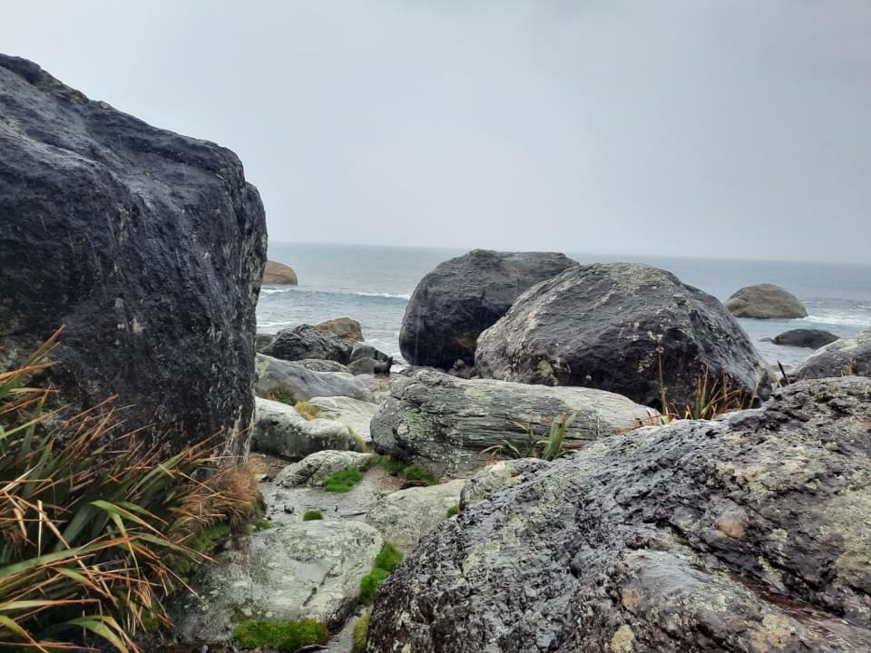
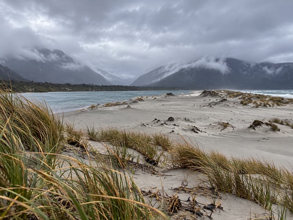
- The walk continues to a wide river-mouth and sand-spit view at Long Reef
Heads up
- The Jerusalem Creek crossing can become impassable after heavy rain
Map
Where it is

The highest, rockiest slopes around here are a summer buffet for grizzly bears.
Fiordland Tour Guide
Your drive to Martins Bay Hut, narrated.
Parkwolf is a GPS audio tour guide for Fiordland National Park. As you drive, it chimes in with what’s ahead: hidden gems, upcoming stops, history, geology, and wildlife, right through your car’s speakers.
See the Fiordland audio tour- 112 audio storiesacross Fiordland’s roads, triggered by GPS as you drive
- Wildlife heatmapsfor Kea, Fiordland Penguin, Blue Duck, and 13 more
- Works offlinemaps, 77 trails, 102 places, and audio download before you lose signal
- CarPlay readysimple controls built for the drive
“Fantastic app with many points of information… It’s great to just turn on while you’re driving and it gives you an audio tour of the national Park. We love it!!!!”


Guide
More about Martins Bay Hut
A hut for the long walkMartins Bay Hut is a remote, serviced 24-bunk hut at the Hollyford River mouth in northern…
Martins Bay Hut is a remote, serviced 24-bunk hut at the Hollyford River mouth in northern Fiordland. It is an overnight stop on the advanced Hollyford Track, a 4–5 day walk one way; the hut is another 1.5–2 hours beyond the Martins Bay Lodge turnoff. This is a multi-day trip, not a drive-up stop, and the hut must be booked ahead. The Jerusalem Creek crossing can become impassable after heavy rain, so check track conditions before setting out.
Pack for a basic stayThe hut has mattresses, heating and pit toilets.
The hut has mattresses, heating and pit toilets. Its tap water is untreated, so boil it before drinking. There is no cooking equipment: carry your own portable stove and food for the route.
Follow the track to the coastThe route continues past the hut to Long Reef through wind-shorn forest, opening onto views of…
The route continues past the hut to Long Reef through wind-shorn forest, opening onto views of the river mouth and sand spit. Seals and tawaki, or Fiordland crested penguins, may be seen along the coast from July to November, but sightings are never guaranteed.
A food-gathering coastWhakatipu Waitai, the Māori name for Martins Bay, was an important settlement and…
Whakatipu Waitai, the Māori name for Martins Bay, was an important settlement and food-gathering place. A village flourished here between 1650 and 1800, drawing on seafood, forest and lake resources. Middens have been found on the seaward side of the estuary spit.
The hut’s own historyThe current hut was built in 1995 after the earlier Long Point Reef Hut burned in 1993–94.
The current hut was built in 1995 after the earlier Long Point Reef Hut burned in 1993–94. It was enlarged in the mid-2000s.
Wildlife
Wildlife in Fiordland
 1,233 sightingsKeaMost seen around 10 AMSighting map
 214 sightingsFiordland PenguinMost seen around 7 PMSighting map
 233 sightingsBlue DuckMost seen around 5 PMSighting map
 32 sightingsBottlenose DolphinMost seen around 5 PMSighting map
 252 sightingsNew Zealand Fur SealMost seen around 6 PMSighting map
 69 sightingsKākāMost seen around 6 PMSighting map
Sighting maps show where each species has been reported across Fiordland. Wildlife moves, so no sighting is guaranteed.