

Sighting map
Kea sightings in Fiordland
Loading the Fiordland map
Full mapFewerMore sightings
Where Kea has been reported, from 1,181 sightings. Not a live tracker: animals move, and an empty area doesn’t mean there are none.
Keep this map with you offline in the Parkwolf appTiming
When to look
| Hour | Share of busiest hour |
|---|---|
| 12 AM | 1% |
| 1 AM | 1% |
| 2 AM | 1% |
| 3 AM | 1% |
| 4 AM | 2% |
| 5 AM | 4% |
| 6 AM | 17% |
| 7 AM | 56% |
| 8 AM | 83% |
| 9 AM | 98% |
| 10 AM | 100% |
| 11 AM | 94% |
| Noon | 89% |
| 1 PM | 83% |
| 2 PM | 87% |
| 3 PM | 94% |
| 4 PM | 100% |
| 5 PM | 94% |
| 6 PM | 78% |
| 7 PM | 50% |
| 8 PM | 22% |
| 9 PM | 7% |
| 10 PM | 2% |
| 11 PM | 1% |
One more story about Kea in the app
- Monkey Creek: Glacial Water and Clever Kea


Where to look
Fiordland spots that mention Kea
Places and trails whose Parkwolf guides talk about Kea. A good start, never a guarantee.
Places
 Scenic pulloutMonkey CreekGlacier-clear water and cheeky kea at a dramatic roadside valley
 Scenic pulloutPop's View LookoutQuick pull-off with big Hollyford Valley views and cheeky kea
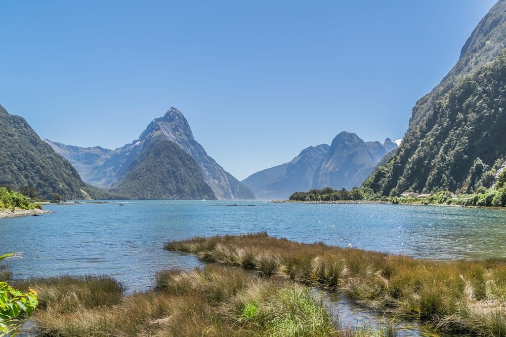 SightMilford Sound / PiopiotahiIconic fiord of sheer cliffs, thunderous falls, and frequent wildlife
 SightMitre Peak ViewpointThe classic Milford Sound shot of Mitre Peak across calm water
 SightOmanui / McKinnon PassThe Milford Track’s high point with vast views and a cairn
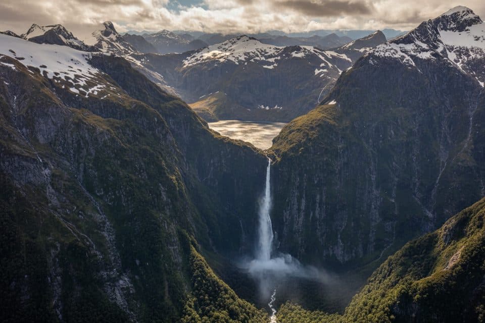 SightSutherland FallsA 580 m cascade pouring straight from Lake Quill
 Visitor centerFiordland National Park DOC Visitor CentreDOC’s lakeside hub for trail intel, bookings, and exhibits
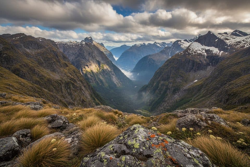 SightGertrude SaddleAlpine saddle with Milford Sound views via steep slabs and Black Lake
Trails
 EasyPop's View Lookout Walk0.2 km · 15 minRoadside panorama over the Hollyford Valley with kea and a memorialEasyEast Homer Nature Walk0.9 km · 20 minA quick alpine out-and-back beside the Homer Tunnel, with native flora and kea sightings.
 ChallengingMilford Track53.4 km · 20 hrFour days of rainforest, alpine pass, and waterfalls to Milford Sound
 ChallengingKepler Track60 km · 1.3 daysA 60 km Great Walk loop through beech forest, lakeshores, and exposed alpine ridges.
 ChallengingLuxmore Summit Track33.5 km · 9 hrClimb through beech forest to Mt Luxmore's high alpine views.
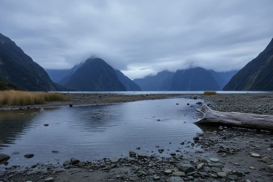 EasyMilford Foreshore Walk0.4 km · 30 minIconic Mitre Peak views on a quick, flat foreshore loop
 ModerateRouteburn Track to Earland Falls13.4 km · 6 hrA full-day walk to Fiordland's 174 m waterfall
 ChallengingDusky Track57.1 km · 9 daysA remote hut trek through Fiordland's mud, mountains and wild water.
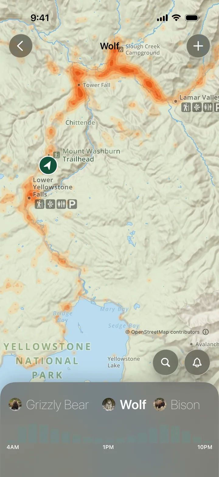
Find Wildlife in Parkwolf
Every sighting map, in your pocket.
- 16 sighting mapsfor Fiordland, on the same park map as your route
- Works offlineout where the animals are and the signal isn’t
- 126 audio storiesplay as you drive Fiordland, wildlife included
Wildlife
More wildlife in Fiordland
 199 sightingsFiordland PenguinEudyptes pachyrhynchusMost seen 6 AM & 6–8 PMSighting map
 228 sightingsBlue DuckHymenolaimus malacorhynchosMost seen 7–9 AM & 4–7 PMSighting map
 32 sightingsBottlenose DolphinTursiops truncatusMost seen 8 AM–12 PM & 3–7 PMSighting map
 247 sightingsNew Zealand Fur SealArctocephalus forsteriMost seen 5–8 PMSighting map
 58 sightingsKākāNestor meridionalisMost seen 7 AM & 5–7 PMSighting map
 495 sightingsWekaGallirallus australisMost seen 8 AM–4 PMSighting map
 30 sightingsYellowheadMohoua ochrocephalaMost seen 8–11 AM & 4–6 PMSighting map
 166 sightingsRockwrenXenicus gilviventrisMost seen 8 AM–6 PMSighting map