Overview
About Milford Foreshore Walk
Why stop
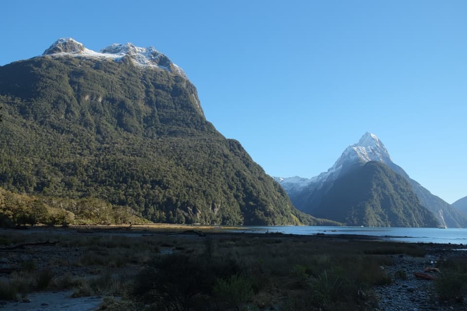
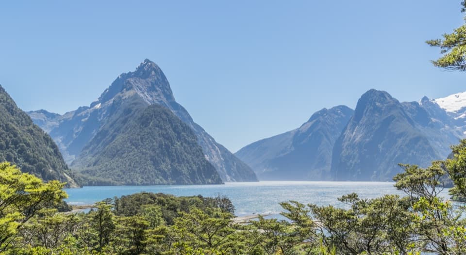
- A 400 m loop offers one of the best land views of Mitre Peak.
Heads up
- Sandflies can make a long pause by the water uncomfortable.
Map
Where it is

The highest, rockiest slopes around here are a summer buffet for grizzly bears.
Fiordland Tour Guide
Your drive to Milford Foreshore Walk, narrated.
Parkwolf is a GPS audio tour guide for Fiordland National Park. As you drive, it chimes in with what’s ahead: hidden gems, upcoming stops, history, geology, and wildlife, right through your car’s speakers.
See the Fiordland audio tourRecorded for this place
Milford Waterfront and Foreshore“You're approaching the Milford waterfront, where a short walk brings you to the shore beneath Mitre Peak. Even without a cruise, I'd stop for the foreshore loop through beech forest and along the water.”
Plays as you drive up to Milford Foreshore Walk in the Parkwolf Fiordland Tour Guide.
More stories near here in the app
- Deepwater Basin Boating Access
- Pio Pio and Milford Sound Lodge
- Tūtoko Suspension Bridge
- Penguins Under the Trees
- 112 audio storiesacross Fiordland’s roads, triggered by GPS as you drive
- Wildlife heatmapsfor Kea, Fiordland Penguin, Blue Duck, and 13 more
- Works offlinemaps, 77 trails, 102 places, and audio download before you lose signal
- CarPlay readysimple controls built for the drive
“Fantastic app with many points of information… It’s great to just turn on while you’re driving and it gives you an audio tour of the national Park. We love it!!!!”


Guide
More about Milford Foreshore Walk
A little loop, a big first viewMilford Foreshore Walk is a 400 m loop through beech forest and along the sandy edge of Milford…
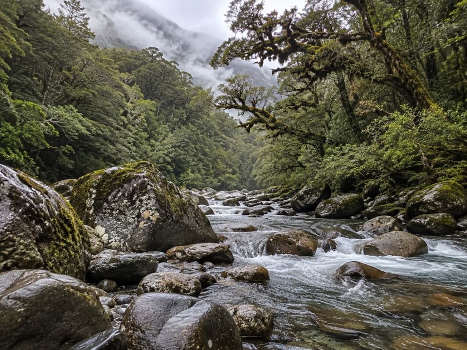
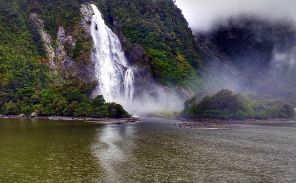
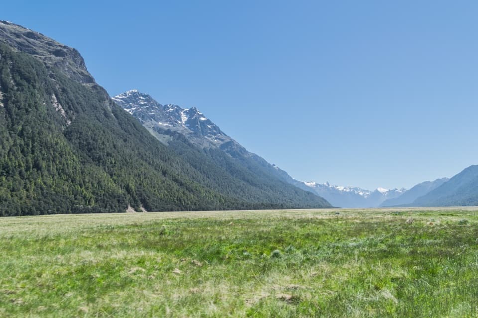
Milford Foreshore Walk is a 400 m loop through beech forest and along the sandy edge of Milford Sound. It gives you one of the fiord’s best land views of Mitre Peak without committing to a longer hike. From the shore, you can also watch cruise boats leave the harbour.
Make the stop workThe walk starts at the main visitor car park, 120 km from Te Anau along the winding Milford…
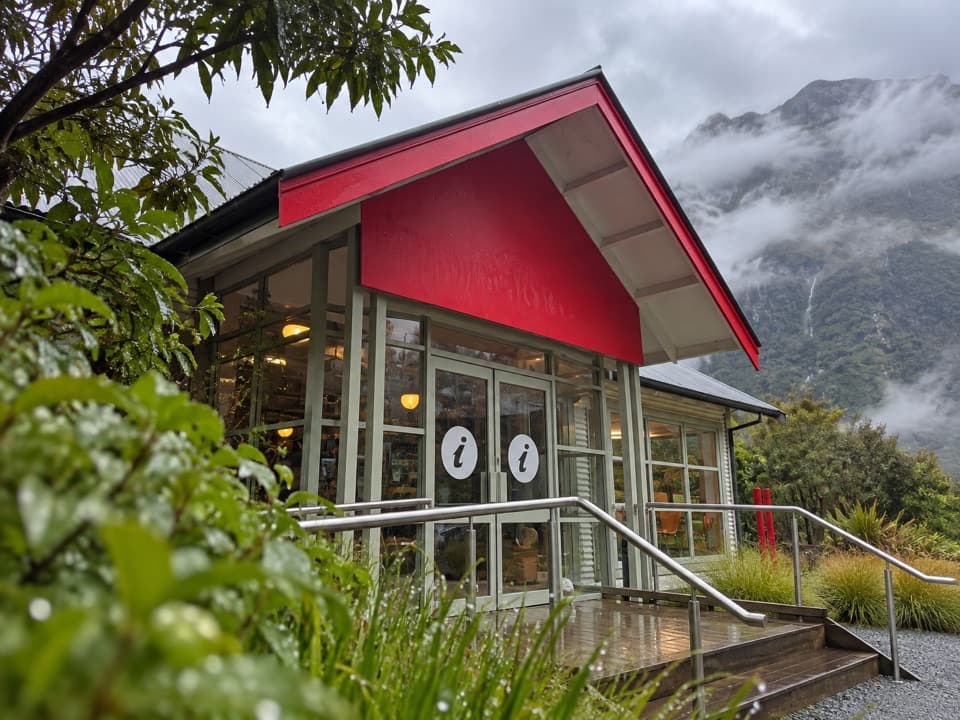
The walk starts at the main visitor car park, 120 km from Te Anau along the winding Milford Road (SH94). The foreshore car park is paid and can fill in summer, so arrive early if you can. Public toilets are in the Milford visitor area, and the café beside the main car park serves coffee, snacks and lunch meals. Bring insect repellent: sandflies are common here.
Know the path and shorelineThe loop climbs about 30 m and is described as wheelchair accessible, but its surface includes…
The loop climbs about 30 m and is described as wheelchair accessible, but its surface includes fine gravel and boardwalk. Check locally if a smooth route is essential. Dogs are not allowed in the park. If an earthquake feels long or strong, move up and away from the water.
Frame Mitre Peak from the shoreKeep a strip of the grassy, rocky foreshore in the foreground when you photograph Mitre Peak;…
Keep a strip of the grassy, rocky foreshore in the foreground when you photograph Mitre Peak; it gives the mountain scale and makes the image feel like Milford rather than a generic mountain view. The short walk from the car park is the way to reach this shoreline angle.
Why the water has two layersGlaciers carved Milford Sound’s steep-sided, U-shaped valley into hard Fiordland rock.
Glaciers carved Milford Sound’s steep-sided, U-shaped valley into hard Fiordland rock. The fiord runs 16 km to the sea and reaches 265 m deep. Heavy rain keeps a freshwater layer on top of the salt water; forest tannins stain it tea-coloured, filtering light and concentrating unusual marine life in a band about 40 m deep along the walls.
Piopiotahi and the greenstone routePiopiotahi, the Māori name for Milford Sound, refers to the piopio, a native thrush now…
Piopiotahi, the Māori name for Milford Sound, refers to the piopio, a native thrush now probably extinct. Early Māori used this coast to carry kokotakiwai, or greenstone, south to Murihiku. The shore is part of a much older travel story than the cruise wharves beside it.
How Milford got its nameWelsh sealing captain John Grono named Milford Sound after Milford Haven, his birthplace.
Welsh sealing captain John Grono named Milford Sound after Milford Haven, his birthplace. In 1878, Scottish sealer Donald Sutherland built three thatched huts he called the City of Milford. About a dozen years later, Sutherland and Quintin Mackinnon cut the route that became the Milford Track.
Wildlife
Wildlife in Fiordland
 1,233 sightingsKeaMost seen around 10 AMSighting map
 214 sightingsFiordland PenguinMost seen around 7 PMSighting map
 233 sightingsBlue DuckMost seen around 5 PMSighting map
 32 sightingsBottlenose DolphinMost seen around 5 PMSighting map
 252 sightingsNew Zealand Fur SealMost seen around 6 PMSighting map
 69 sightingsKākāMost seen around 6 PMSighting map
Sighting maps show where each species has been reported across Fiordland. Wildlife moves, so no sighting is guaranteed.