
Place · 0 mi away
Easy
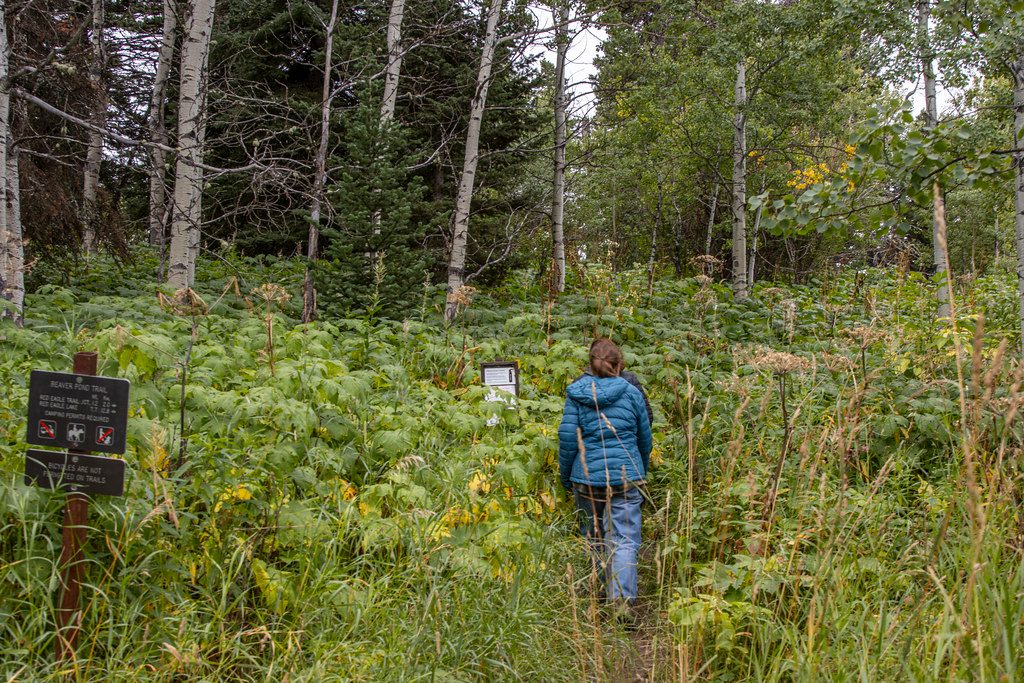
An easy, rolling loop near the St. Mary Entrance, Beaver Pond Loop packs in aspen groves, open meadows, mixed conifer stands, and glimpses of St. Mary Lake. Expect roughly 3.3 miles total on a loop that most hikers complete in 1–2 hours. It’s not a headline-grabber, but it’s a pleasant, low-commitment wander—great for families, leg-stretchers on arrival day, or a breezy morning warm-up.
The trail moves through a mosaic of habitats, including areas regenerating from the 2006 Red Eagle Fire—think airy snag forests and thriving understory that’s excellent for birding. The namesake beaver ponds add wetland life and texture, though actual beaver sightings are hit-or-miss. Keep an eye out for waterfowl and songbirds around the ponds, and scan for moose in the marshy edges. Occasional openings frame St. Mary Lake and the surrounding peaks.
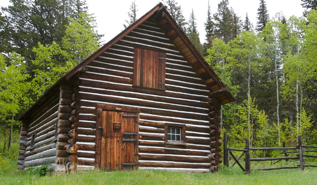
Start by the historic 1913 Ranger Station and gently climb through aspen and conifers. A short spur reaches the main pond—worth a quiet pause at dawn or dusk. The loop typically links with the Red Eagle Trail on the return, with a brief side path to the lakeshore for views and a snack stop before closing the loop. Sections can be brushy or lightly rocky; long pants are smart if you’re sensitive to scratchy vegetation.
You’ll pass the 1913 Ranger Station and a historic barn relocated here in the 1970s. Portions of the route follow old roadbeds believed to be part of the early Blackfeet Highway, and a shoreline spur leads to the site of the 1912-era Saint Mary Chalets—subtle layers of early park history you can walk through as you go.
Morning brings calmer winds and better light on the peaks, with a good chance at wildlife around the ponds. This loop melts out early in spring compared to higher trails, making it a reliable shoulder-season option. In winter, the gentle grades make it a popular track for snowshoeing and cross-country skiing when conditions allow.
If you want an easy, uncrowded sampler—trees, wetlands, lake views, and a dash of history—this loop delivers. If you’re chasing big alpine drama, you’ll find better payoffs elsewhere in the park. But as a mellow, nature-forward stroll that often flies under the radar, it’s a solid add to a St. Mary day.
Park at the 1913 Ranger Station area just east of the St. Mary Entrance; follow signs from the main road toward the park offices and ranger station. The lot (about 0.5 miles off Going-to-the-Sun Road) has vault toilets, an info kiosk, benches, and space for larger vehicles.
Grizzly country—carry bear spray and make noise in brush. Some segments are overgrown or rocky; long pants help. Expect wind by the lake and spotty cell service away from the trailhead.
Place · 0 mi away
Place · 0.7 mi away
Place · 0.7 mi away
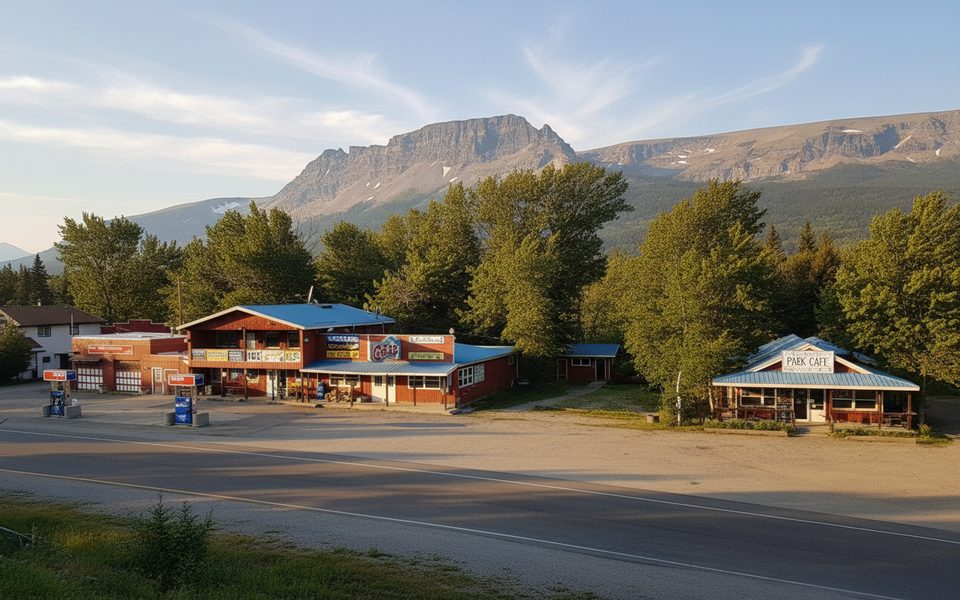
Place · 0.7 mi away
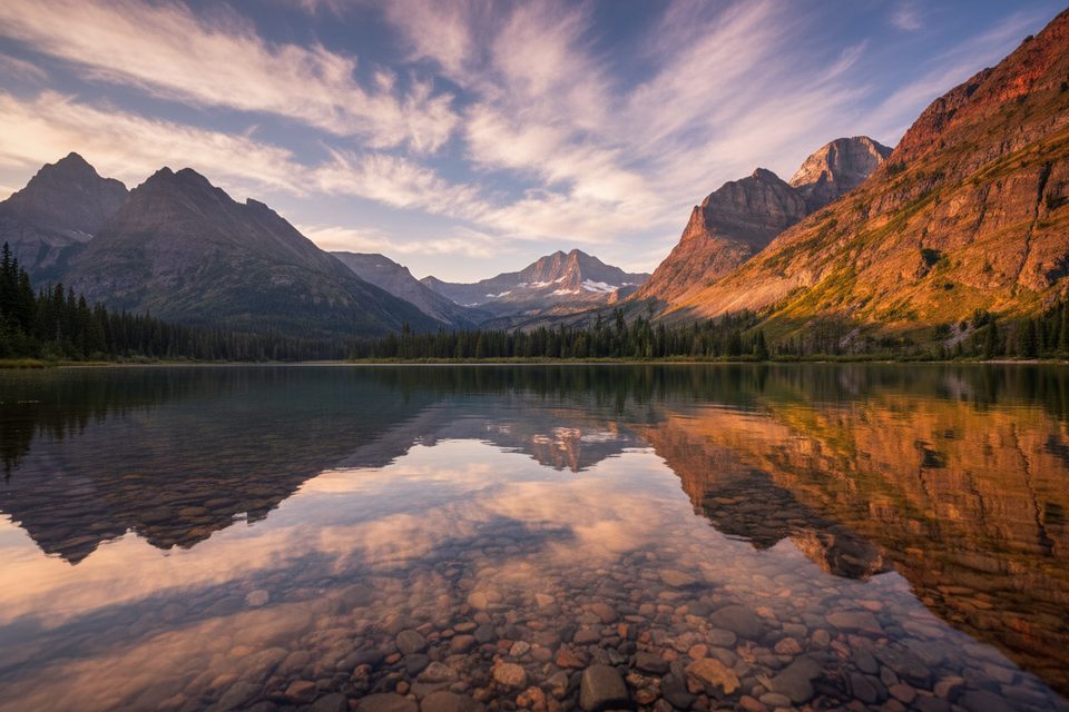
Challenging · 3.3 mi away
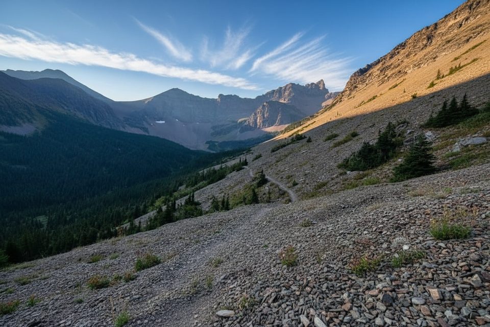
Challenging · 4.8 mi away
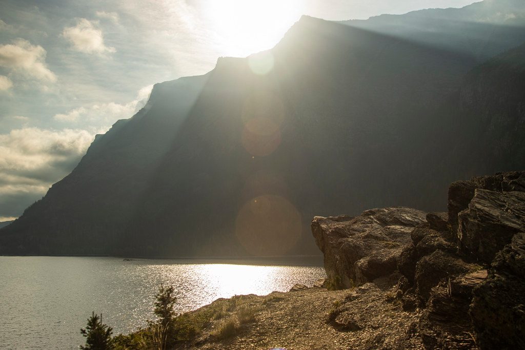
Easy · 7.8 mi away
Easy · 8.3 mi away

Parkwolf Tour Guide
