
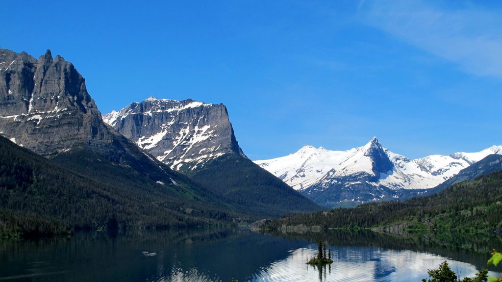
Place · 1.3 mi away
Challenging
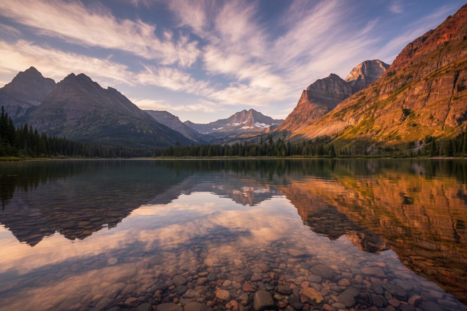
This is a long, scenic out-and-back to a quiet east-side lake with big views over the St. Mary Valley. The most direct version is about 17.7 miles total with roughly 1,453 feet of gain, typically taking around 6.5–7 hours for fit day hikers. Expect sections of narrow, overgrown tread—this is a trail for folks who don’t mind brush and want solitude beyond the waterfall crowds. Backcountry camps at the Foot and Head of Red Eagle Lake make it a natural backpack for an easier-paced overnight.
From the 1913 Ranger Station area, the route rolls through meadows and past burn areas that green up with wildflowers in early summer. You’ll follow Red Eagle Creek toward the lake, crossing multiple bridges—including memorable suspension spans—with sweeping valley views. Mid-August often brings thick thimbleberries and colorful blooms, but also tall, wet vegetation; long pants help, and you’ll get soaked on rainy days. Reviewers consistently note chest-high brush in places. Expect a mix of forest, meadows, streams, and a peaceful lakeshore payoff with designated camps at both the Foot and Head.
Glacier’s mountains, including those you see along this trail, are built from ancient sediments laid in the Belt Sea over a billion years ago. Keep an eye out for layered red and purple rocks colored by iron oxidation, and contrasting greens/blues formed in low-oxygen settings that later altered to chlorite. The park also preserves stromatolites—layered fossil buildups from ancient cyanobacteria—especially prominent in east-side formations. They’re a reminder you’re walking through one of North America’s most remarkable sedimentary rock records.
Bear sign is common here; grizzlies frequent the area. Make noise in brushy stretches and carry bear spray. Cell service is limited to none—download offline maps. Seasonal conditions swing widely: early summer can be muddy with lingering snow at higher spots, and autumn can bring sudden snow with bears foraging heavily. For overnights, there are designated wilderness campgrounds at the Foot (REF) and Head (REH) of Red Eagle Lake; you’ll need a valid backcountry permit listing the specific camp and date. Use the provided bear poles/boxes for all food and scented items; bring a sturdy hang bag and line. Pick up permits in person by late afternoon on your start or the day prior. A valid wilderness permit also covers vehicle access needs during your trip.
Mid-July through early September offers the best trail conditions and longest daylight, with mid-August wildflowers and thimbleberries a highlight. Start early to beat heat, afternoon storms, and to enjoy the quiet lakeshore. Early season can be muddy with lingering snow patches; late season brings colder mornings and very active bears. Pets are not allowed on park trails.
Park at the 1913 Ranger Station near the St. Mary East Entrance for the direct route; the St. Mary Falls lot works for the longer waterfall-to-lake variant.
Frequent bear activity and abundant bear sign—carry spray and make noise. Expect tall, wet brush that can drench clothing. Limited/no cell service; download offline maps. Seasonal mud and occasional snow; bridges include suspension spans. For overnights, camp only at designated sites on your permit and use food storage facilities.
Place · 1.3 mi away
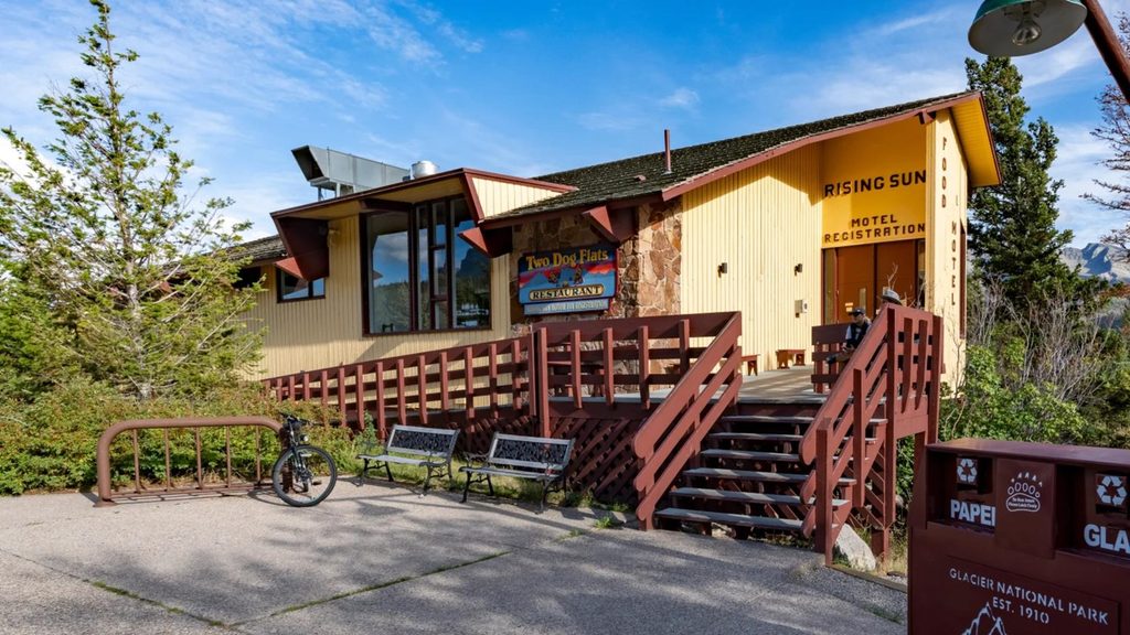
Place · 2.6 mi away
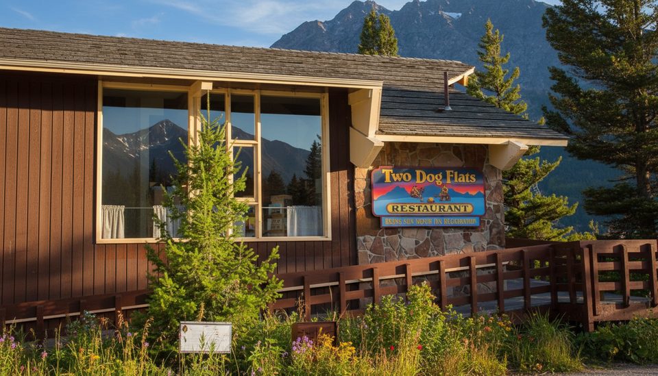
Place · 2.6 mi away
Place · 3.2 mi away
Challenging · 2.6 mi away
Easy · 3.3 mi away
Easy · 5.5 mi away
Easy · 6.2 mi away

Parkwolf Tour Guide
