Parking
Sunrift Gorge Pullout on Going-to-the-Sun Road. It is the shortest access to Baring Falls; check seasonal road conditions before driving to the pullout.
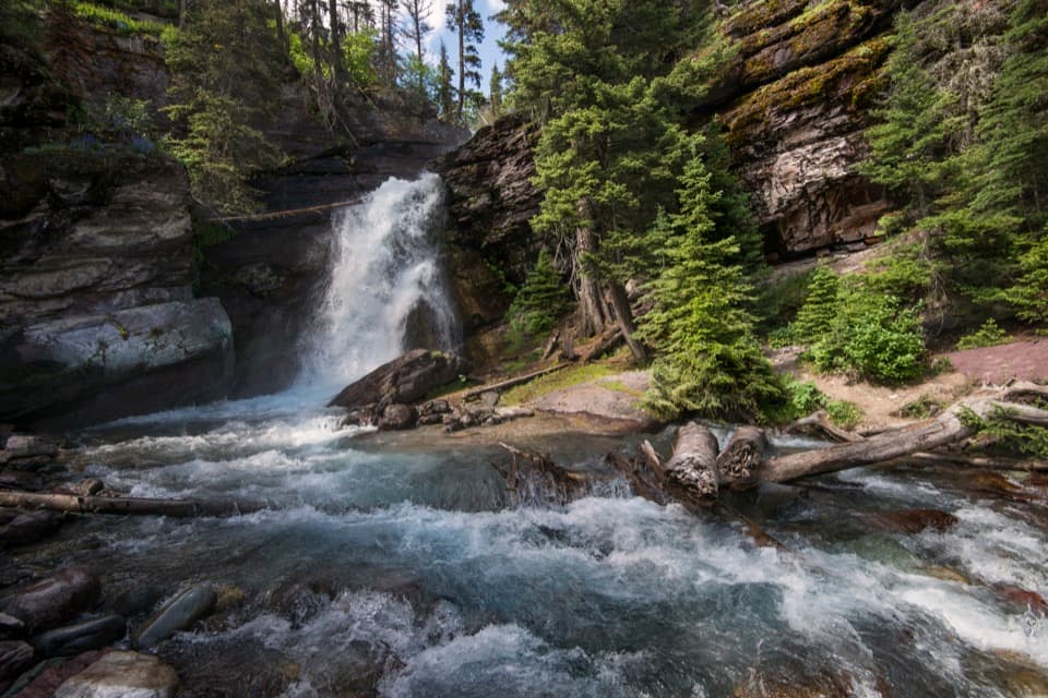
Glacier National Park, MT
A short creekside walk to a 25-foot waterfall.
Overview
Map & elevation
Plan your hike

The highest, rockiest slopes around here are a summer buffet for grizzly bears.
Glacier Tour Guide
Parkwolf is a GPS audio tour guide for Glacier National Park. As you drive, it chimes in with what’s ahead: hidden gems, upcoming stops, history, geology, and wildlife, right through your car’s speakers.
See the Glacier audio tourRecorded for this trailhead
Sunrift Gorge and Baring Falls“Sunrift Gorge is coming up, a narrow rock cleft with Baring Creek running between its walls. The overlook is about two hundred feet from the pullout, with steps, so this works as a five-to-ten-minute stop.”
Plays as you drive up to this trailhead in the Parkwolf Glacier Tour Guide.
More stories near here in the app
“Our first time to glacier and we used the audio portion for Going to the Sun Road. Wonderful information with perfect advice of what to see and do along the road.”


Trail guide
Baring Falls Trail is an out-and-back from Sunrift Gorge Pullout to a waterfall on Baring Creek. The mapped walk is about 0.35 miles each way, or 0.71 miles round trip; published one-way figures vary by about a tenth. Allow 30 to 45 minutes to reach the falls, look around, and walk back. It’s a good choice for a quick waterfall stop while you’re on Going-to-the-Sun Road.
The route leaves the pullout on the Siyeh Pass Trail and branches right toward Baring Falls. Follow the creek-side path and cross Baring Creek on a footbridge just before the first clear view of the falls. The trail drops on the way out, so save a little energy for the uphill walk back to the road. Pets aren’t allowed on park trails.
Baring Falls drops about 25 feet over a rock ledge. Baring Creek runs for roughly another 100 yards before reaching Saint Mary Lake, so look downstream as well as at the falls. American dippers sometimes feed along the creek, diving below the surface. For a photo, include some of the fast-moving creek in front of the falls to show the full scene, not just the white water.
A local historical account traces the name to one of two Baring brothers, London bankers who visited on a guided hunting trip with Joe Kipp and James Willard Schultz in the late 1880s.
Sunrift Gorge is beside the same pullout, but it’s a different short walk: a 200-foot path leads to an overlook above a gorge where Baring Creek drops into a channel about 80 feet deep. Don’t count that overlook as part of the Falls route. Starting from Sun Point is another, much longer way to reach Baring Falls; this entry covers only the short Sunrift Gorge out-and-back.
Wildlife
 404 sightingsGrizzly BearMost seen around 6 AMSighting map
 11 sightingsWolverineMost seen around 8 PMSighting map
 1,173 sightingsMountain GoatMost seen around 6 AMSighting map
 1,000 sightingsBighorn SheepMost seen around 6 AMSighting map
 395 sightingsMooseMost seen around 6 AMSighting map
 506 sightingsBlack BearMost seen around 8 PMSighting map
Sighting maps show where each species has been reported across Glacier. Wildlife moves, so no sighting is guaranteed.
Keep exploring
 EasySunrift Gorge Trail0.1 mi · 9 min · At the trailheadA quick walk to Baring Creek’s narrow, sudden gorge.
 ModerateSt. Mary Falls Trail1.6 mi · 1.3 hr · 0.7 mi awayA short descent to a bridge beneath a three-tier waterfall
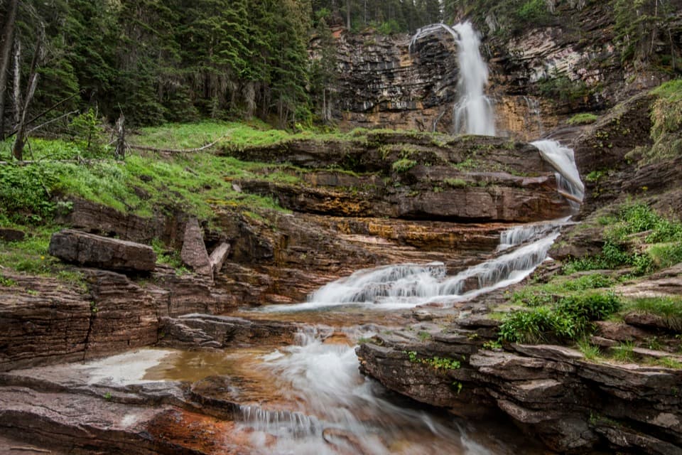 ModerateVirginia Falls Trail3.2 mi · 2 hr · 0.7 mi awayTwo falls, views through the burn, and a harder climb back.
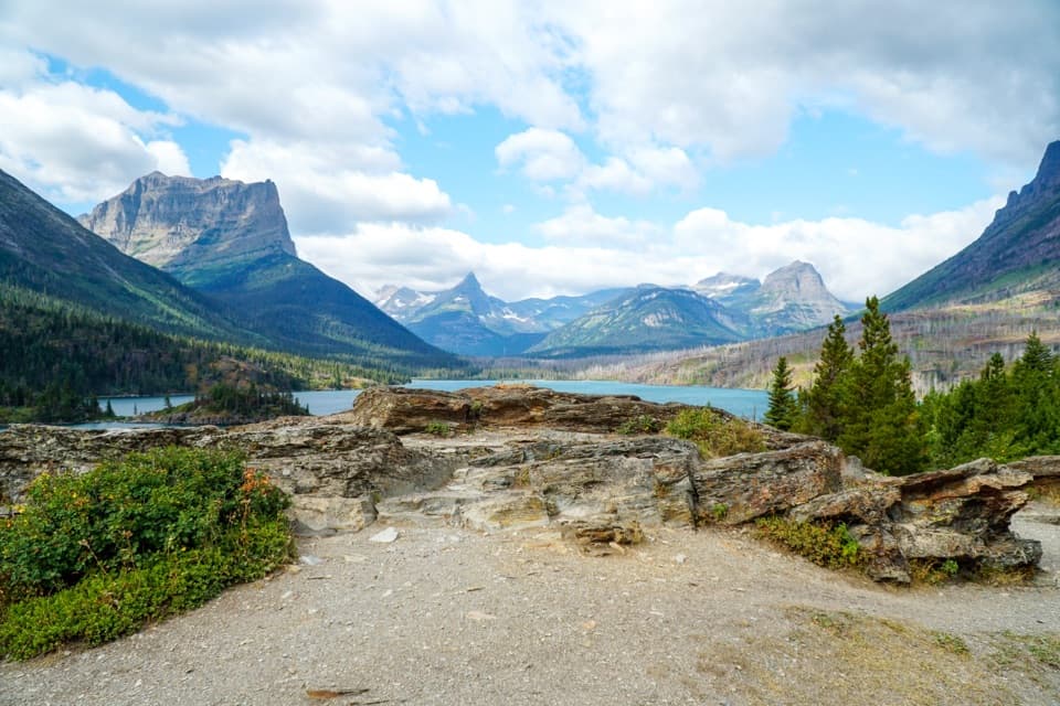 EasySun Point Nature Trail0.9 mi · 30 min · 0.7 mi awayWalk from a historic lakeside overlook toward Sunrift Gorge.
 ChallengingGunsight Pass Trail to Lake McDonald Lodge19.5 mi · 14 hr · 2.6 mi awayA demanding east-to-west traverse over two high alpine passes.
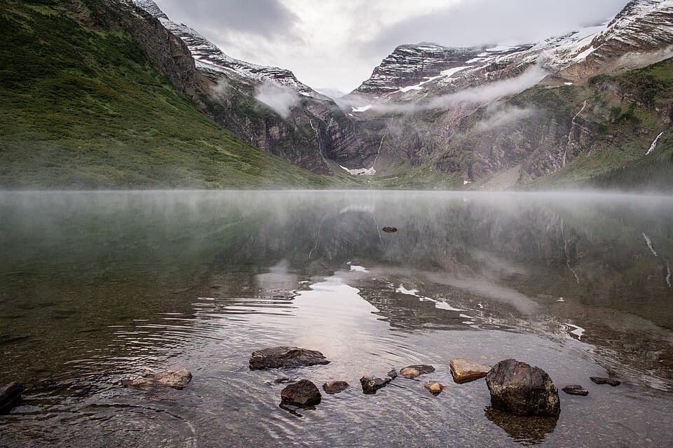 ChallengingGunsight Lake Trail12.9 mi · 8.5 hr · 2.6 mi awayA long valley walk to Gunsight Lake’s rocky shore
 ChallengingFlorence Falls Trail9.8 mi · 4.5 hr · 2.6 mi awayA long out-and-back to Florence Falls through creek and pond country
 ChallengingOtokomi Lake Trail11 mi · 7 hr · 3.7 mi awayWaterfalls and a fire-scar meadow give way to a red-cliff lake.
 Sight · At the trailheadSunrift GorgeA quick roadside stop for Baring Creek’s 80-foot-deep gorge.Sight · 0.1 mi awayBaring FallsA short waterfall walk, with a chance to spot dippersSight · 0.8 mi awaySun PointA big lake view with a long-gone railway chalet story.
 Sight · 1.2 mi awaySt. Mary FallsTwo foaming drops and blue-green pools reward this short hike.Sight · 1.5 mi awayVirginia FallsKeep going past St. Mary Falls for the bigger cascade.
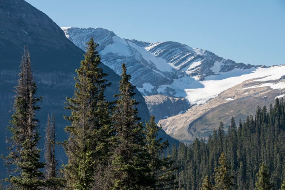 Sight · 2.7 mi awayJackson Glacier OverlookA glacier view worth the quick stop on Going-to-the-Sun Road.
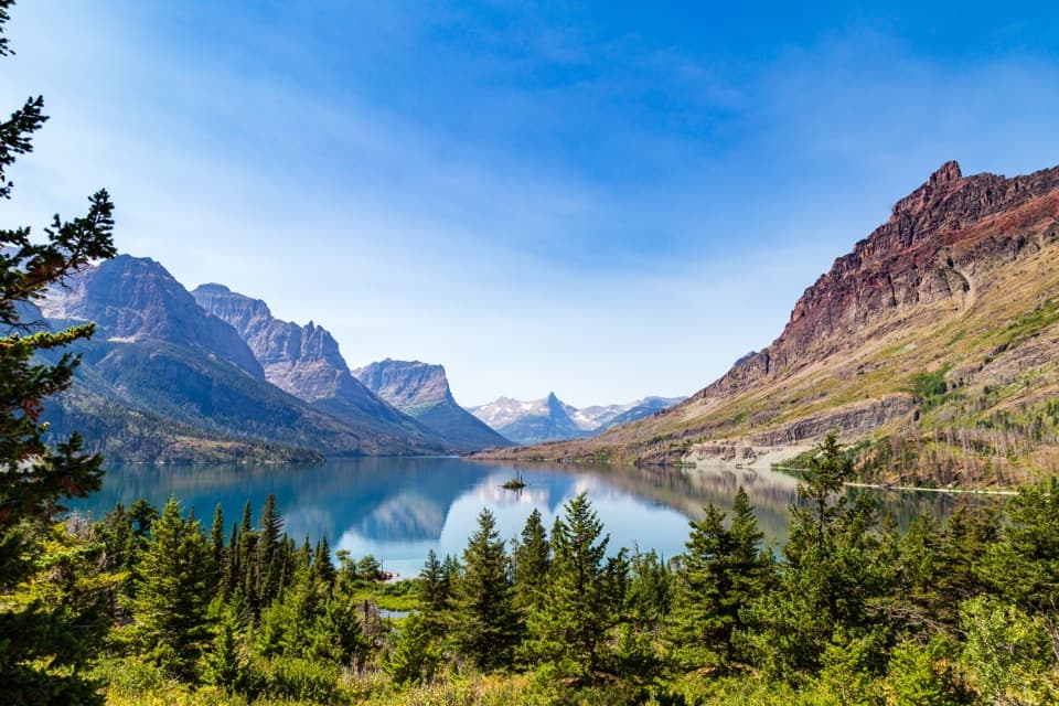 Sight · 3.1 mi awayWild Goose Island OverlookA tiny island anchors a huge mountain-lake view.
 Campground · 3.5 mi awayRising Sun CampgroundAn east-side base beneath a cliff, with a trailhead next door.
Parkwolf’s Glacier ranking

The audio tour guide for the drive, plus offline maps, trails, and wildlife heatmaps for when the signal drops.





