
Place
Moderate
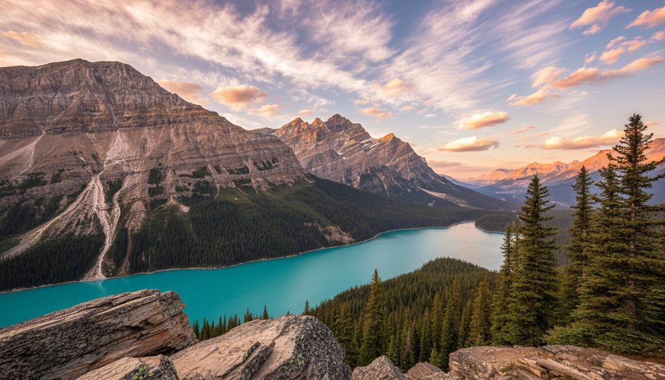
Chephren Lake is a classic Icefields Parkway out-and-back: 8.2 km total (about 5.1 miles) with roughly 140 m of elevation gain and 75 m of loss, typically done in around 3 hours. The trail starts from the hiker parking by Waterfowl Lakes Campground and heads through cool, shaded forest to a shockingly blue glacial lake backed by Mount Chephren and Howse Peak.
Expect a well-marked path with an early bridge crossing and a sustained uphill stretch afterward. The tread is often muddy with plenty of exposed roots—especially through the wet meadows—so it’s more about careful footwork than cardio. Near the lake, the ground tends to dry out. The final approach drops more steeply with a few big steps down to the shoreline.
At the lake, you get a wide-open amphitheater of peaks and cliffs, the kind of view that still stuns even after a full day on the Parkway. Unofficial paths lace along parts of the shore (primarily used by mountaineers), but most hikers hang out by the water, take photos, and linger over a snack. On hot days, a few brave souls wade or even swim—remember it’s glacier-fed.
This one feels quieter than the area’s headline hikes. You’ll spend most of the approach in dense forest with occasional mountain peeks and wet meadows that are good spots for wildlife if you move quietly. The payoff is the lakeshore: turquoise water, big stone walls, and glaciers hanging above.
June through September brings the best footing, though mud is common year-round and especially after rain or in the shoulder seasons. Early morning or late afternoon gives nicer light on the water and fewer people. In winter, the route is typically snow-covered and not packed—snowshoes are the way to go, and some parking areas may be closed, adding distance.
The route was first cut in 1923 by guide Jimmy Simpson to avoid river fords on pack trips toward the Columbia Icefield. Mount Chephren looms above the lake—a peak renamed in 1918 for the Egyptian pharaoh Khafre, a nod to its Sphinx-like profile along this stretch of the Parkway.
Hiker parking lot by Waterfowl Lakes Campground along the Icefields Parkway (about 57.5 km north of Lake Louise). In winter, some parking areas may be closed, adding distance to the approach.
Expect muddy, rooty tread and a steeper final drop to the lake. Unofficial shoreline paths are rough—stick to the main trail. In winter the route is not packed; snowshoes are recommended and parking closures can lengthen the day.
Place
Place
Place
Place
Easy
Moderate
Moderate
Challenging

Parkwolf Tour Guide
