

Place · 0.4 mi away
Easy

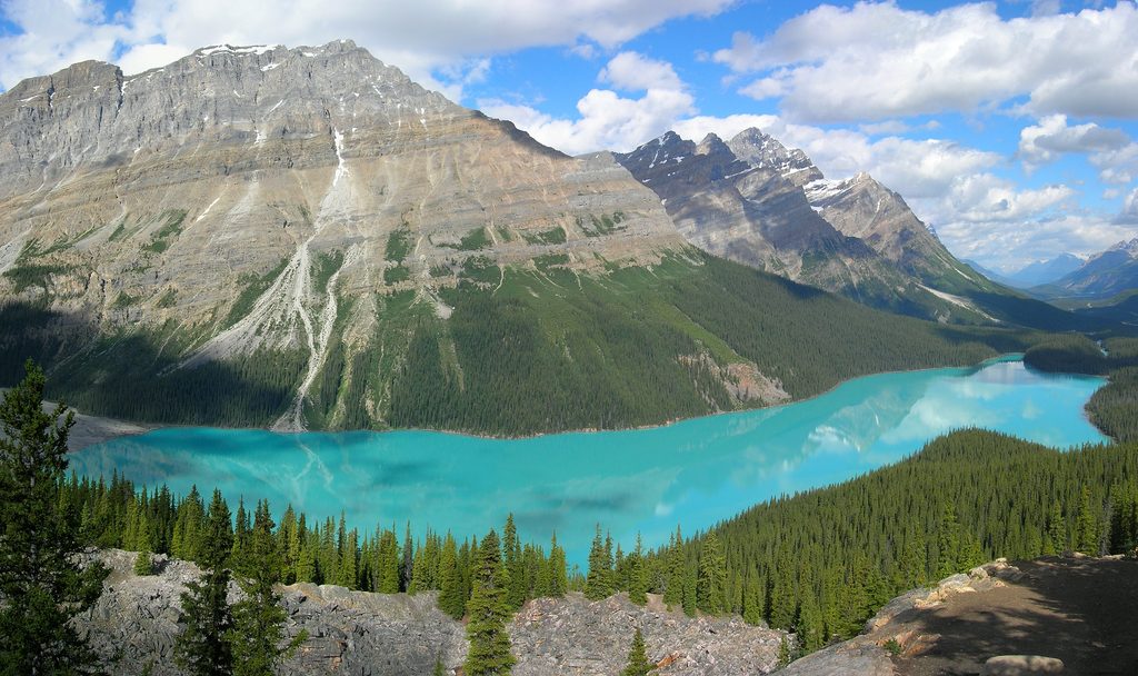
This is the classic Bow Summit stroll to the Peyto Lake viewing platform—short, paved, and all about the view. Expect roughly 0.8 miles round trip with a gentle but steady uphill to the main deck. The payoff is enormous: a high, panoramic look at Peyto’s unmistakable wolf‑shaped, electric‑turquoise waters, colored by glacial rock flour. It’s one of the most photographed vistas in the Rockies, and it earns the hype.
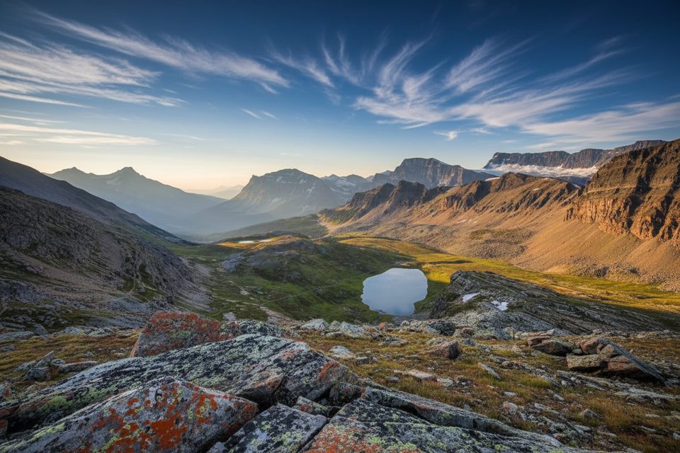
From the platform you look across subalpine forest to a sweeping amphitheater of peaks (Bow Summit area, with surrounding summits like Caldron Peak and Mount Jimmy Simpson) framing that surreal blue lake. In summer, expect wildflowers along the forested approach; wildlife sightings in the broader Bow Summit area include pika, marmot, and ptarmigan.
The main path is paved and barrier‑free to the primary viewpoint, suitable for strollers and many wheelchair users (it’s still uphill, so assistance can help). Time your visit for 15–30 minutes round trip if you’re just popping to the deck. If you want a quieter angle, unpaved social paths beyond the platform lead to open rock outcrops with fewer people and unobstructed photos. Those side tracks are not maintained—expect narrower footing, light brush, and occasional hands‑on moves. A much rougher, unmaintained descent all the way to the lakeshore also exists; it’s bushwhacky, steeper than it looks, and not recommended for most visitors.
Park at Bow Summit just off the Icefields Parkway; there are large lots (car and bus), clear signage, and several toilets at the parking areas. There’s an upper lot with a drop‑off for limited mobility. Dogs are permitted on leash. Don’t count on cell reception at the viewpoint. A valid Parks Canada pass is required for this area.
It’s open year‑round. Summer and early fall are the busiest—go at sunrise or late evening for softer light and thinner crowds. In winter, the path can be snowy or icy; traction devices are a smart call. Shoulder seasons bring lovely conditions and fewer tour buses, but be ready for changeable mountain weather any month.
Large Bow Summit parking areas just off the Icefields Parkway with clear signage and several toilets; upper lot includes a drop‑off for limited mobility. Parking can fill early in peak season.
Winter brings snow and ice—use traction. Beyond the platform, side paths are unmaintained with narrow footing and steep drop‑offs; the descent to the lakeshore is bushwhacking and not recommended. No reliable cell reception.
Place · 0.4 mi away
Place · 1.2 mi away
Place · 3 mi away

Place · 3.5 mi away

Moderate · 0 mi away
Moderate · 3 mi away
Challenging · 4.7 mi away
Moderate · 4.7 mi away

Parkwolf Tour Guide
