
Place · 0.2 mi away
Easy
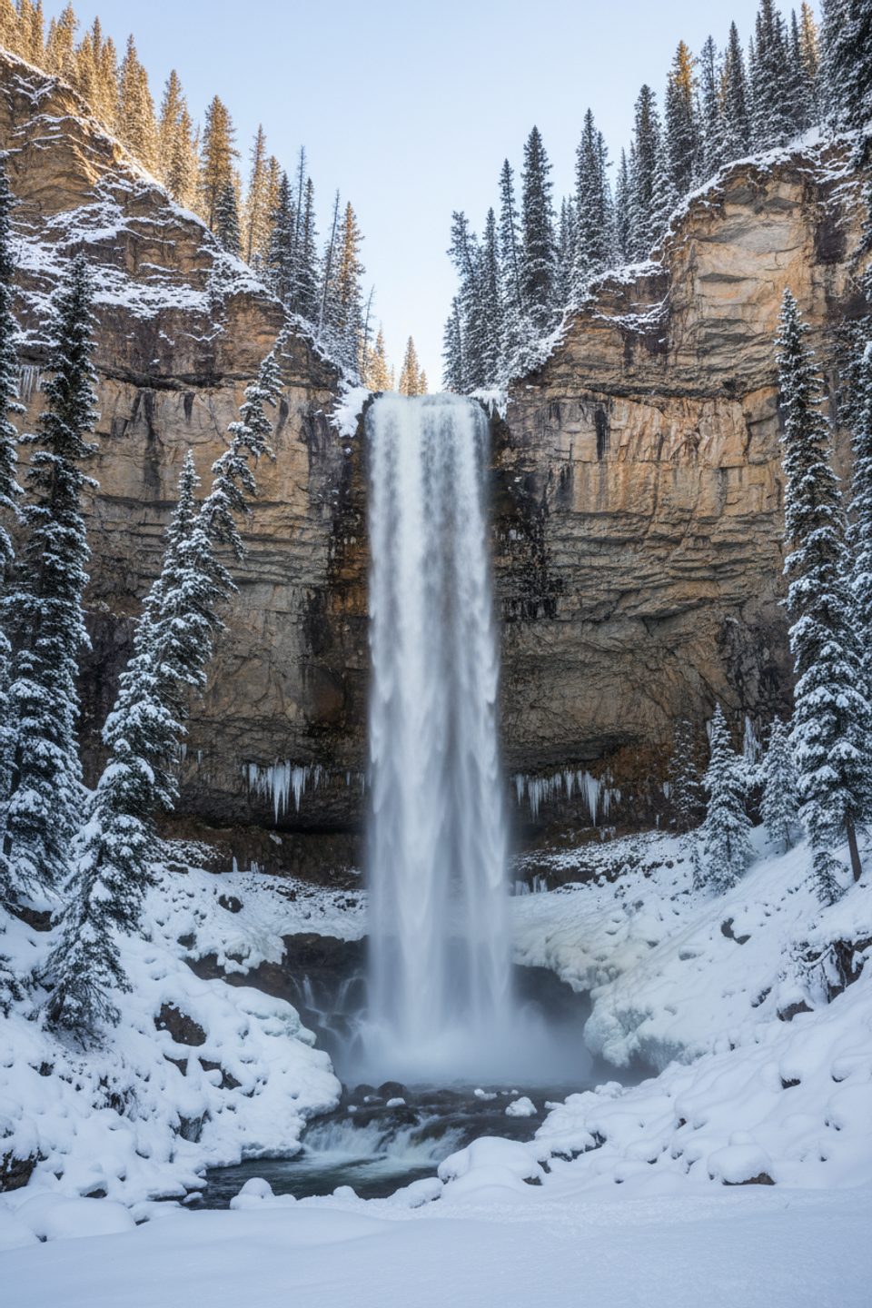
This is a short, punchy stop that delivers big waterfall drama for minimal effort. From the pullout near the top of Big Bend on Highway 93, it’s roughly 0.5 miles total (out-and-back) with modest elevation change to reach Panther Falls. Plan about 30–40 minutes, more if you linger in the spray.
Find the path at the far south corner of the parking area. The trail descends through subalpine forest toward the Nigel Creek canyon. It’s easy overall, but the tread is rugged in spots—expect loose dirt and rocks, and occasional mud after rain or during melt. There are informal viewpoints with real exposure and no guardrails, so keep your footing and stay well back from edges.
You’ll hear the roar and feel cool mist before you see the falls. Panther Falls plunges in multiple tiers over steep rock ledges; the spray zone can be slick. Take your time moving around the viewpoints.
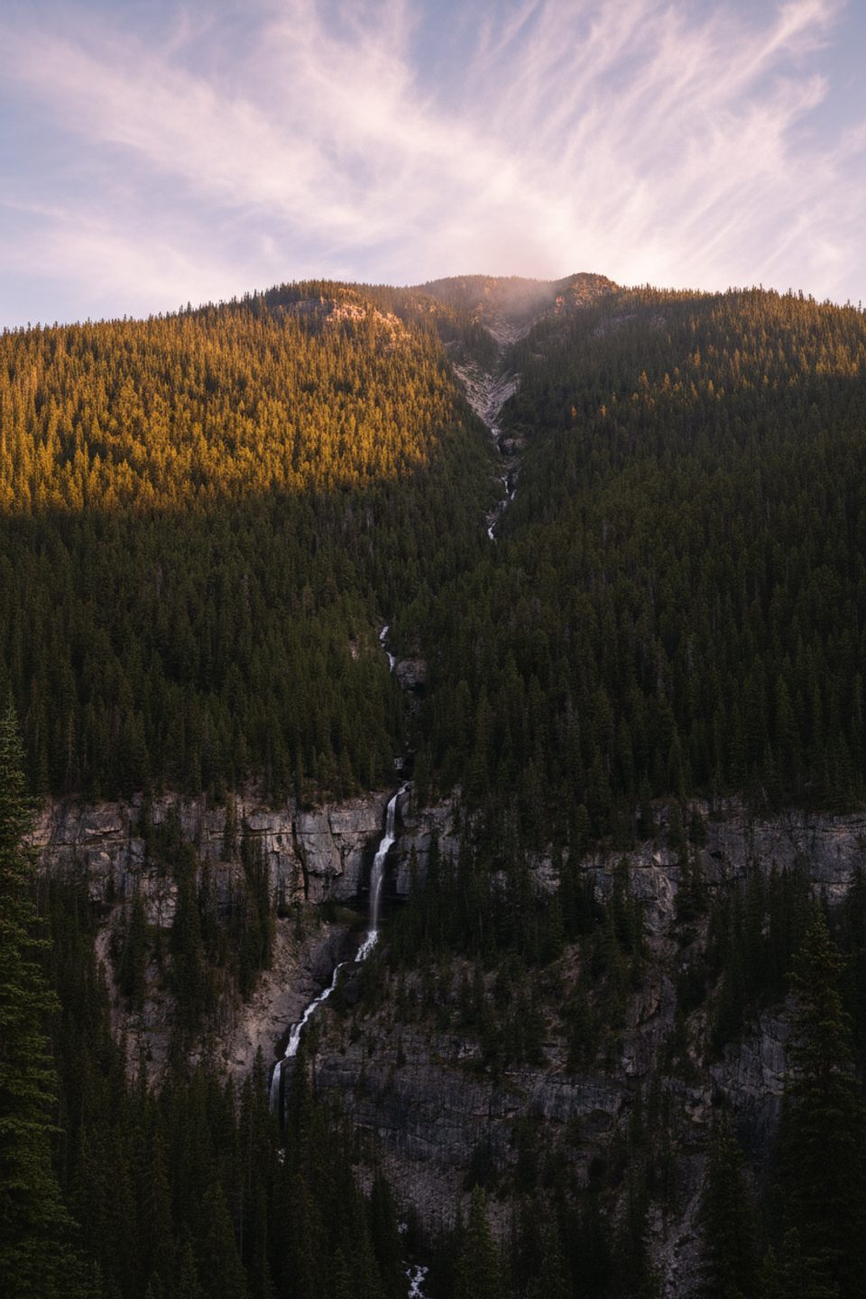
Panther Falls is carved by Nigel Creek, fed by high-country meltwater. The creek drops over limestone and shale ledges—classic Rockies geology shaped by glaciers and long-term erosion. Back at the parking area, don’t skip the roadside look at neighboring Bridal Veil Falls, a much taller, delicate cascade sourced from glacier melt and visible right from the pullout.
May through September offers the easiest footing and access. In winter this path isn’t maintained; ice forms on the trail and around the spray zone—traction devices are smart if you go. For photos, early or late light softens the scene; bring a small tripod if you want silky water shots.
Yes—this is a high-value, low-time investment and often less crowded than headline stops on the Parkway. Pair it with a quick look at Bridal Veil Falls for a two-for-one waterfall break.
Large roadside pullout at the top of Big Bend on Highway 93; the path starts from the far south corner of the lot.
Loose dirt and rock, slick spray zones, and unguarded cliff edges. Not maintained in winter; ice cleats recommended when frozen.
Place · 0.2 mi away
Place · 1.4 mi away
Place · 2.8 mi away
Place · 3.2 mi away
Moderate · 0.6 mi away
Moderate · 2.6 mi away
Moderate · 6 mi away
Moderate · 6 mi away

Parkwolf Tour Guide
