
Place
Challenging
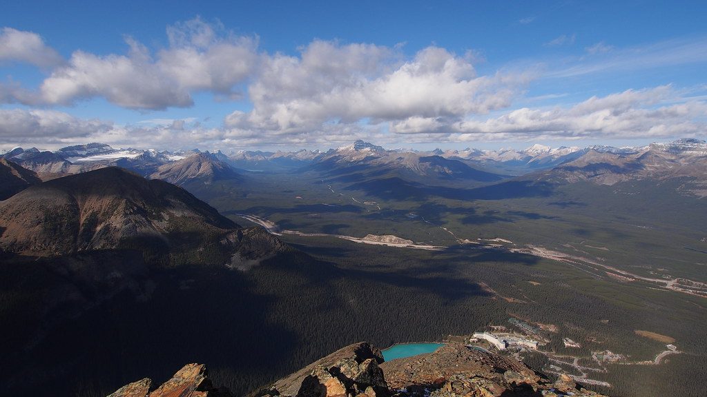
This is a tough, rewarding out-and-back that climbs the ridge of Mount Sarbach to the former fire lookout site. It’s a full-value ascent through dense forest to sweeping viewpoints over the Mistaya Valley, Glacier Lake, and the historic Howse Pass. Expect a steady, sustained grade the whole way. Total distance is roughly 12 km/7.5 miles round trip with about 720 m/2,360 ft of elevation gain, and most hikers take around 5.5–6 hours.
From the Mistaya Canyon area, you quickly leave the roadside bustle for a quieter, shaded climb. The lower section follows near the blue Mistaya River with marshy stretches that linger into early summer; waterproof boots are worth their weight here. Higher up, the terrain shifts to roots, rocks, and occasional outcrops before breaking out to the lookout site with big valley panoramas.
Signage is only average—intersections exist, and markers aren’t abundant. Download a map or GPS track before you go, and don’t count on cell service. Despite being near a popular roadside stop, this trail sees moderate use and offers good solitude if you start earlier or avoid peak weekend hours.
June through October is your window. Early season brings wet, muddy segments; late season can see early snow at elevation. Start early to nab parking at Mistaya Canyon and enjoy cooler temps for the climb. Weather moves fast in the Rockies—pack layers and a shell even on bluebird mornings.
Dogs are allowed but must be leashed. There are no facilities en route—bring all the water and calories you need for a 6-hour effort. Carry bear spray and know how to use it; wildlife is active here. No special permit is required for the hike itself, but a valid park pass is needed for day use in the area. This is a day hike; there are no campsites on the route.
You’re hiking to a former fire lookout location—a reminder of the area’s wildfire history and strategic vantage over the Mistaya and Howse river valleys. The ridge is classic Canadian Rockies geology: layered sedimentary rock shaped by ice and water. It’s a serious workout with a real payoff—perfect if you want views and solitude without a technical scramble.
If you enjoy steep climbs, quieter trails, and historic viewpoints, this one’s a gem along the Icefields Parkway. If you’re after a short, mellow stroll or hiking with small kids, skip it in favor of an easier option near the road.
Park at the Mistaya Canyon parking lot on the Icefields Parkway, about 5.2 km south of the David Thompson Highway junction.
Steep, sustained climb with 720 m gain; early-season mud and marshy sections; limited cell service; changing mountain weather; wildlife active—carry bear spray; signage is only average, so download a map or GPS track.
Place
Place
Place
Place
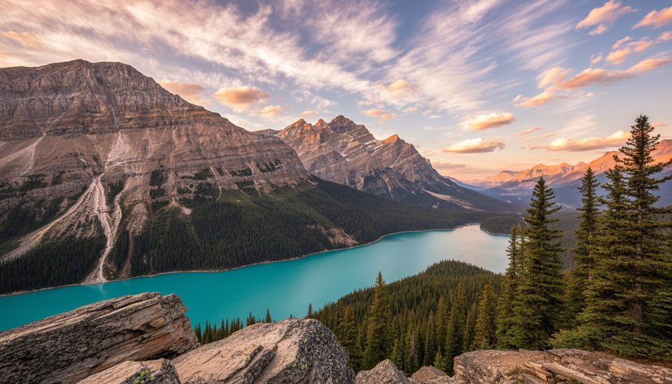
Easy
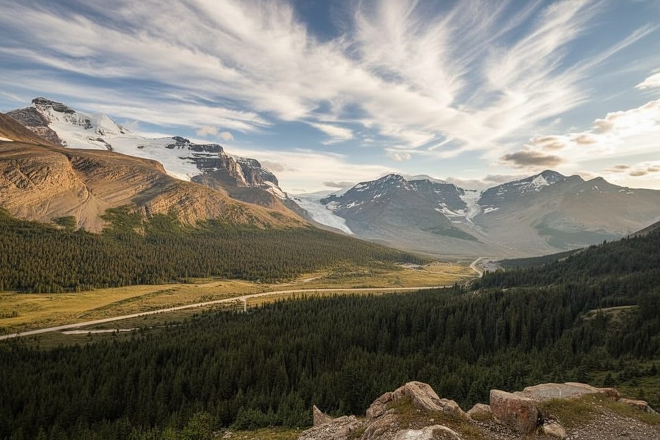
Moderate
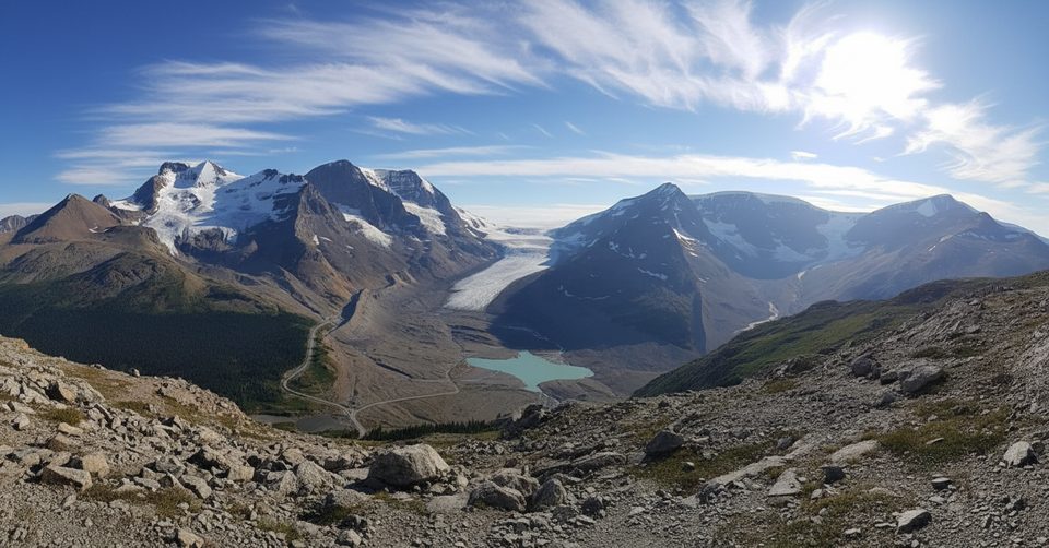
Moderate
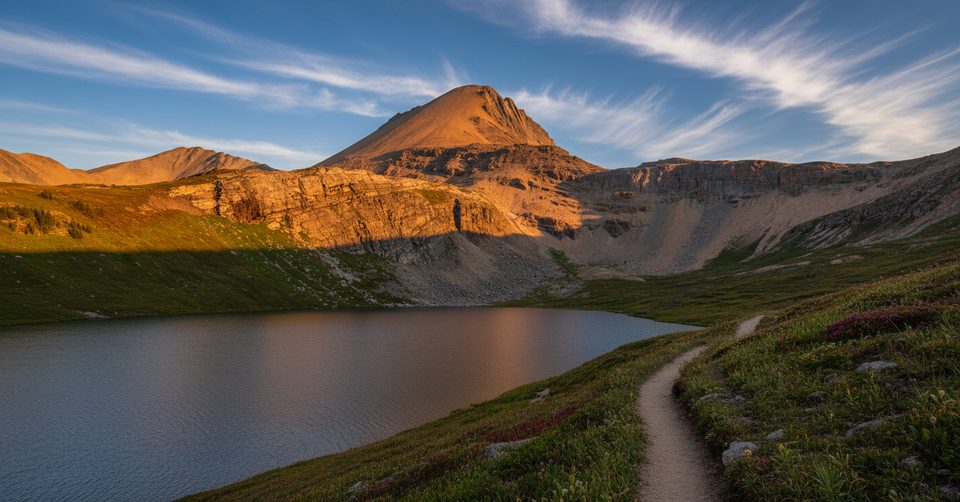
Challenging

Parkwolf Tour Guide
