
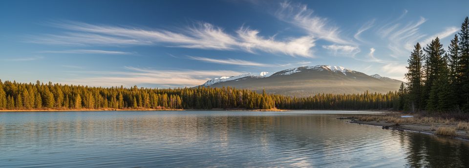
Place · 0.7 mi away
Easy
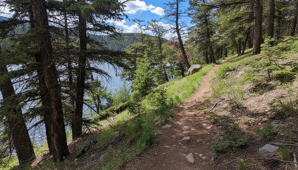
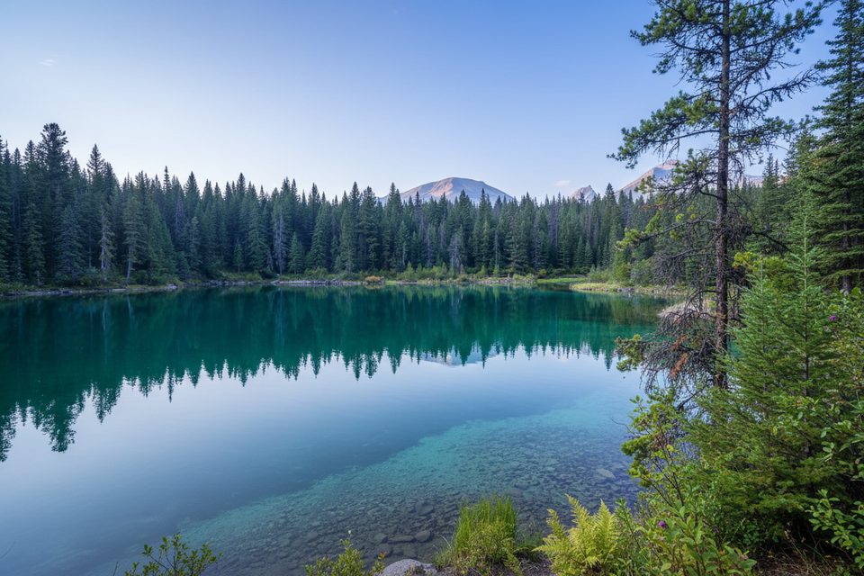
If you’re looking for the “3 High Lakes,” you’re almost certainly headed here. This compact loop strings together multiple small, jewel-toned lakes with forested connectors and frequent viewpoints. It’s popular for a reason: the colors range from emerald to deep blue, with classic mountain backdrops and plenty of spots to linger.
Expect a well-marked network with several junctions—take a photo of the trailhead map or carry a map so you can choose your loop confidently. The standard loop is about 3.0 miles total (around 5 km) and gently rolls with roughly 150–200 feet of total elevation gain. Surfaces are natural dirt and packed soil with roots, rocks, some steps, and occasional boardwalks over wet ground. There’s an initial descent from the parking area, which means a short climb to finish.
You’ll traverse mixed forest and open patches between lakes, cross Wabasso Creek, and hit multiple viewpoints. The short circuit commonly tours Lakes 2–5; adding First Lake makes a longer, quieter loop. Keep an eye out for the signature red chairs between Third and Fourth Lakes—an iconic photo stop.
Crowds are part of the deal, and the large lot fills quickly. Junctions can feel confusing despite good signage, so a map is smart. Some sections are rooty and uneven, and mosquitoes can be feisty near the water in early summer. Not stroller- or wheelchair-friendly.
Late spring through early fall offers snow-free trail and peak color. For photos, aim for early morning or late afternoon when the light makes the water pop. Weekdays and earlier starts mean fewer people. In winter, this area is often accessible as an easy walk, but traction and warm layers may be necessary. As of spring 2025, this area has been posted as temporarily closed—always check Parks Canada’s current trail conditions before you go.
Large, signed lot directly off the Icefields Parkway near Wapiti and Wabasso campgrounds; arrive early as it fills quickly.
Temporary closures have been posted in 2025—check Parks Canada before visiting. Expect rooty, uneven footing, mosquitoes near water, and a finishing uphill back to the lot.
Place · 0.7 mi away
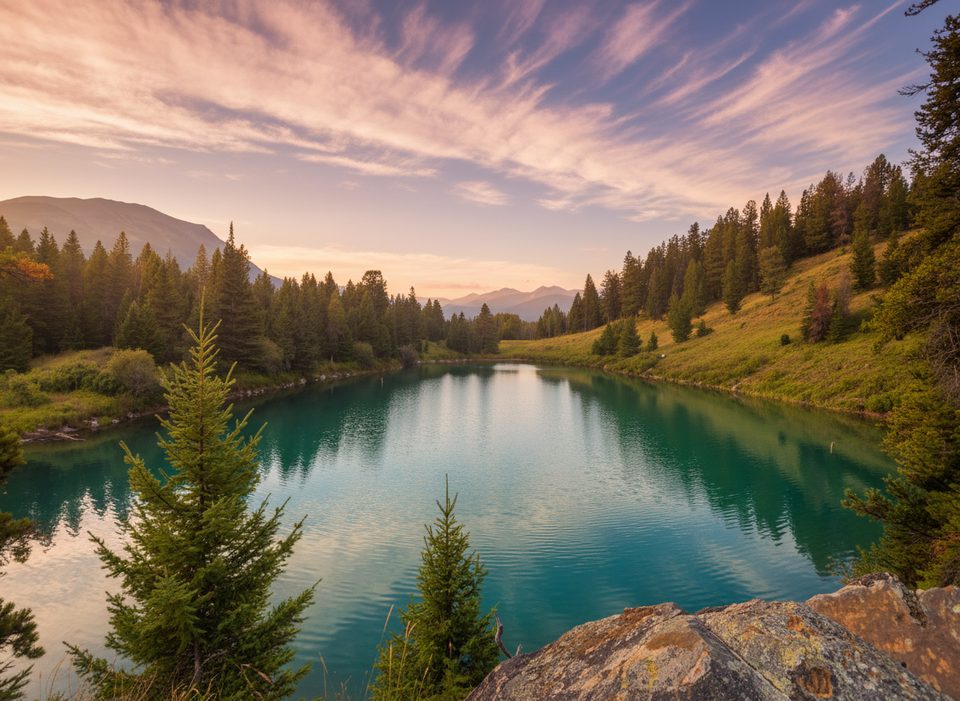
Place · 0.9 mi away
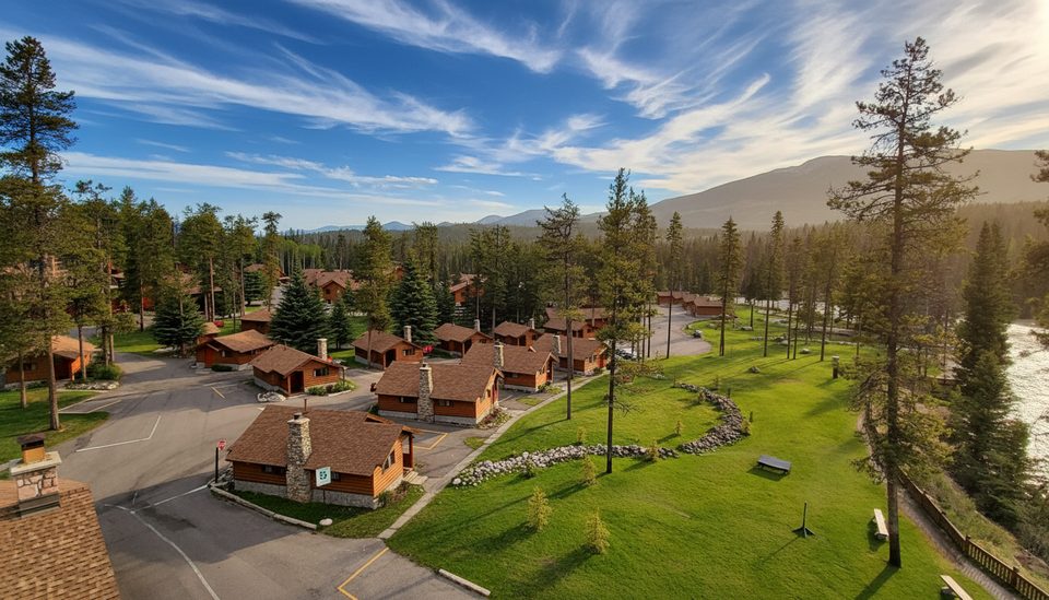
Place · 2 mi away
Place · 2.1 mi away
Moderate · 0 mi away
Moderate · 0 mi away
Challenging · 2.9 mi away
Challenging · 2.9 mi away

Parkwolf Tour Guide
