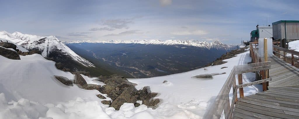
Portal Creek Trail in Jasper National Park

#10 of 91 trails in Jasper

Jasper National Park, AB

Portal Creek Trail

Forest slog to alpine meadows and Maccarib Pass—the Tonquin gateway.

Length
20.1km
Time
8hr
Elev. change
705m
Difficulty
Challenging
  • No dogs
  • High point 2,201 m

Hear the audio tour

Tonquin Valley's Portal Creek Trailhead

Overview

About Portal Creek Trail

From the Portal Creek trailhead off Marmot Road, the one-way route to Amethyst Campground is about 20.1 km (12.5 miles), with a steady climb of roughly 725 m to Maccarib Pass (about 2,205 m) before descending toward the Tonquin Valley. Treat it as a long day or, more commonly, a backpack with nights at Portal or Maccarib campgrounds. The tread is generally well-marked with rocky sections, occasional mud, and creek crossings. The early miles are enclosed and less scenic; patience pays off when the valley opens and views explode.

Why go

  • Moderate, steady grade that makes the long climb feel manageable
  • Equestrian-friendly access with a public corral at the trailhead

Heads up

  • Long forested approach before the alpine scenery opens up
  • Mosquitoes and flies can be intense until late summer
  • Short, rugged stretch from parking to the bridge can be slick
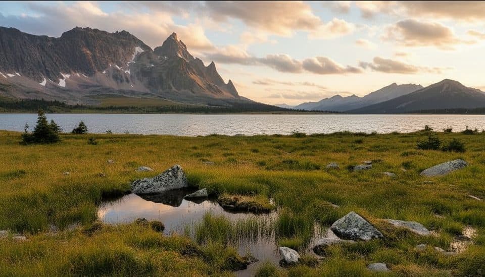
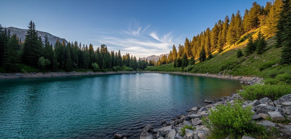
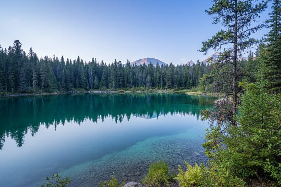
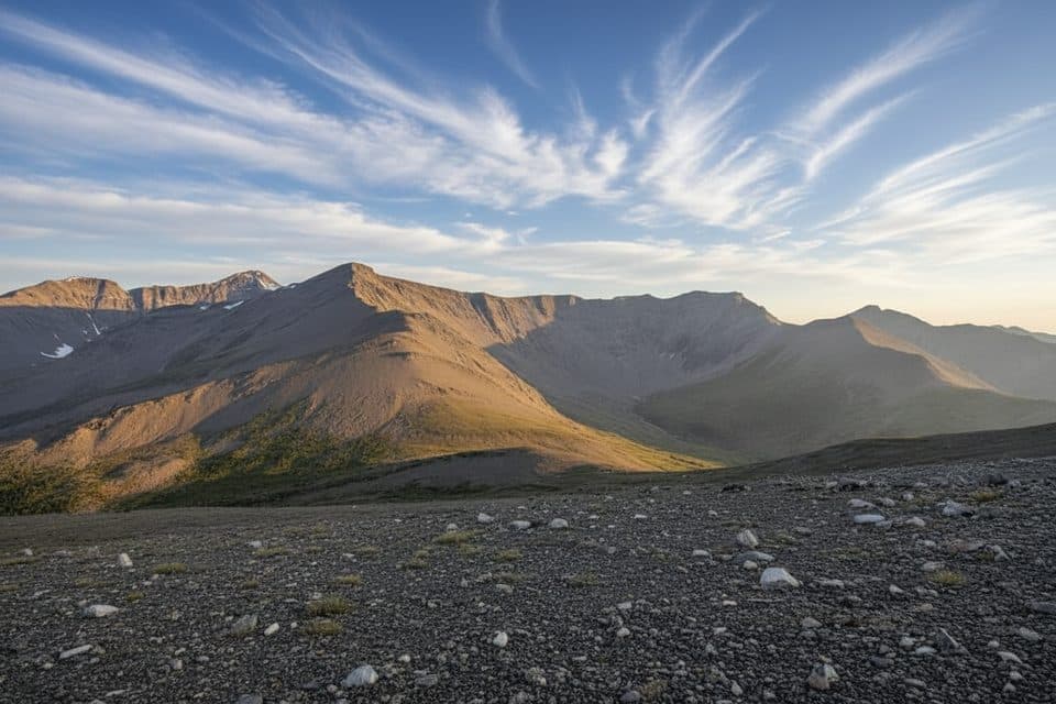
Portal Creek is the classic eastern approach into the Tonquin backcountry. It starts modestly—shadowing a chattering creek through dense subalpine forest—then breaks into wide, wildflower meadows and big-mountain views near Maccarib Pass. If you’re chasing The Ramparts’ limestone spires and, beyond, the Amethyst Lakes basin, this is your line.
Parkwolf’s verdictWhy hike it

Map & elevation

The route

Loading the Jasper map
Full map
Elevation1,496–2,201 m
TrailheadPortal Creek Trailhead52.78130, -118.07597
Keep this map with you offline in the Parkwolf app

Plan your hike

Before you go

Parking

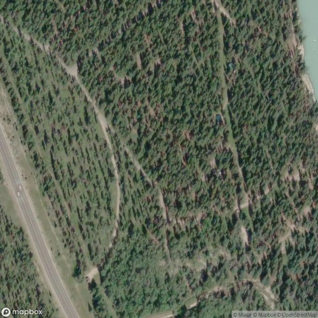
Trailhead parking is off Marmot Road, about 16 km from Jasper. From the parking area, allow roughly 300 m to the bridge and main trail; the mapped line begins at that signed trail connection. A public corral is available at the trailhead; equestrians may ford Portal Creek from the road to join the main trail.

Best time to go

Aim for mid-July through early September. Snow can linger around the pass into July, trails can be muddy in early season, and weather turns quickly at elevation. Early summer bugs can be fierce, so plan accordingly.

Safety

Prime grizzly and black bear habitat—make noise in dense forest and carry bear spray. Dogs are prohibited in this sensitive caribou habitat. Expect mud, rocky footing, creek crossings, and snow near Maccarib Pass into July. Check Parks Canada for current conditions, closures, and caribou advisories; bugs can be heavy until late summer.

8 active Jasper alerts

  • ClosureWildfire-impacted areas and facilities closedStay out of closed wildfire-impacted areas and facilities in Jasper National Park; closures protect public safety after the 2024 wildfire and remain in effect while recovery and safety work continues.Official details
  • Closure93A (Wabasso Road) no through travel during roadworkFrom mid-October to early November 2026, plan for 93A (Wabasso Road) to be accessible from the south entrance only; no through travel is expected during roadwork.Official details
See all 8 alerts
A park ranger sits on a dash-mounted phone, talking, as Parkwolf’s Tour Guide plays “Army Cutworm Moths: A Grizzly Bear Buffet” on Grand Loop Road below Dunraven Pass in Yellowstone
Parkwolf Tour GuideThe highest, rockiest slopes around here are a summer buffet for grizzly bears.

Jasper Tour Guide

Your drive to Portal Creek Trail, narrated.

Parkwolf is a GPS audio tour guide for Jasper National Park. As you drive, it chimes in with what’s ahead: hidden gems, upcoming stops, history, geology, and wildlife, right through your car’s speakers.

See the Jasper audio tour

Recorded for this trailhead

Tonquin Valley's Portal Creek Trailhead
Listen
“Just ahead is the access for the Portal Creek trailhead, the classic eastern starting point for trips into the Tonquin Valley.”

Plays as you drive up to this trailhead in the Parkwolf Jasper Tour Guide.

More stories near here in the app

  • Ghosts of the Tonquin: Jasper's Caribou
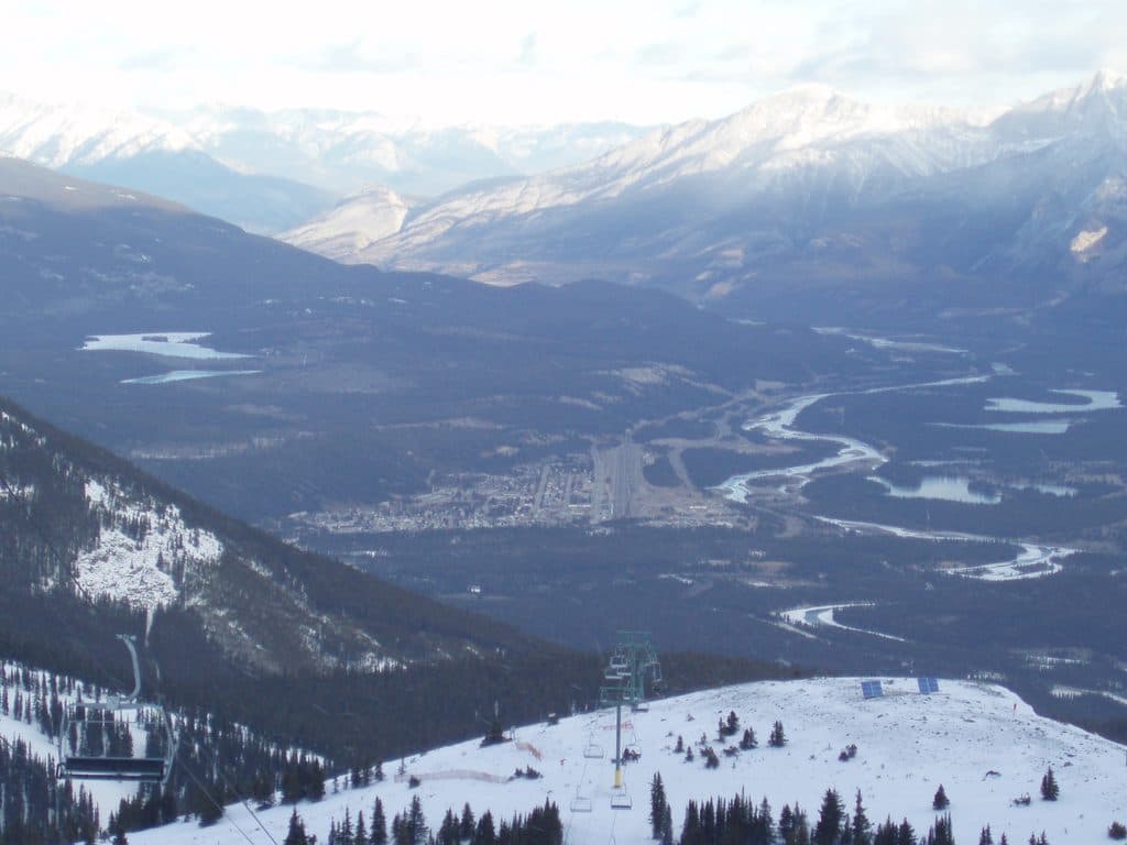
  • Marmot Basin Ski Area
  • Reading the Rocks: How the Rockies Were Built
  • Who Was Edith Cavell? The Woman Behind the Mountain
  • 157 audio storiesacross Jasper’s roads, triggered by GPS as you drive
  • Wildlife heatmapsfor Grizzly Bear, Caribou, Gray Wolf, and 13 more
  • Works offlinemaps, 91 trails, 129 places, and audio download before you lose signal
  • CarPlay readysimple controls built for the drive
★★★★★
“Fantastic app with many points of information… It’s great to just turn on while you’re driving and it gives you an audio tour of the national Park. We love it!!!!”
JMJamesApp Store review
Download Parkwolf on the App StoreGet Parkwolf on Google Play

4.7 from 8,600+ ratings

Trail guide

Hiking Portal Creek Trail

Scenery and wildlifeYou’ll hear and cross Portal Creek early, then rise into broad meadows with 360° alpine scenery…

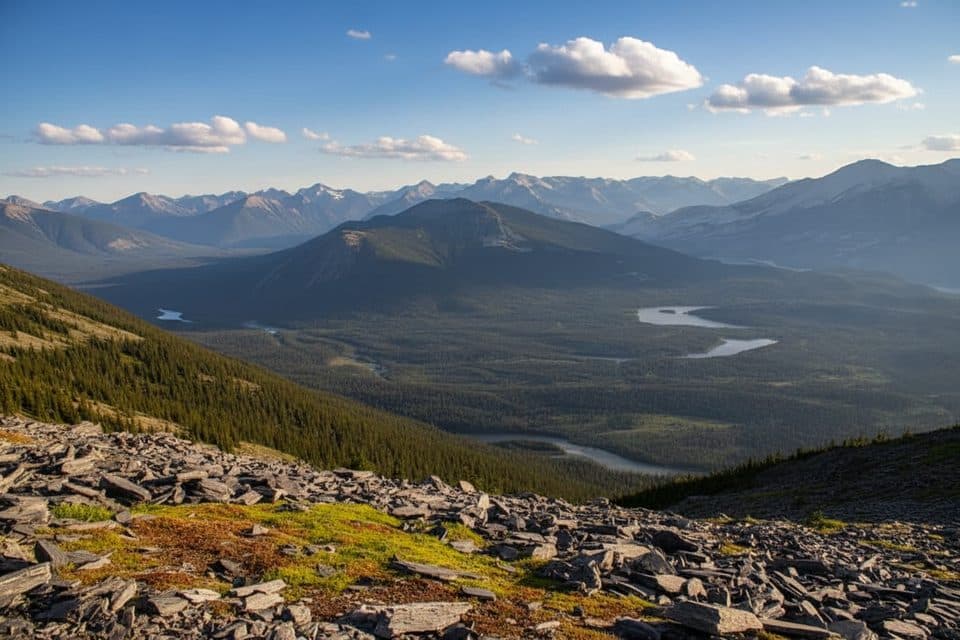
You’ll hear and cross Portal Creek early, then rise into broad meadows with 360° alpine scenery near the pass. Look for wildflowers mid-summer, skyline views of The Ramparts, and—if you continue toward Amethyst—glimpses of the lakes. This is important wildlife habitat, including threatened mountain caribou; bears (both grizzly and black) are common in the area.

Logistics and tipsThe Portal Creek trailhead is off Marmot Road, about 16 km from Jasper; from the parking area,…
  • The Portal Creek trailhead is off Marmot Road, about 16 km from Jasper; from the parking area, allow roughly 300 m to reach the bridge and main trail. The mapped route begins at that signed trail connection rather than in the parking area.

  • Backcountry camping requires advance reservations; book Portal or Maccarib sites early in peak season.
  • Dogs are prohibited in this sensitive caribou habitat. Start early, carry a map, and confirm current conditions and any closures with Parks Canada before you go. Make consistent noise in the forested miles to avoid surprising wildlife, and carry bear spray.
Best time to hikeMid-July through early September for drier tread, peak meadows, and fewer bugs.

Mid-July through early September for drier tread, peak meadows, and fewer bugs. Go early in the day for cooler temperatures and better light in the meadows near Maccarib Pass. Weekdays see fewer people than weekends, but this approach generally feels remote once you’re past the lower forest.

Wildlife

Wildlife in Jasper

All Jasper wildlife maps

Sighting maps show where each species has been reported across Jasper. Wildlife moves, so no sighting is guaranteed.

Keep exploring

Near Portal Creek Trail

See it all on the map

Trails that start nearby

Places near the trailhead

Parkwolf’s Jasper ranking

Top-rated trails in Jasper

All 91 trails
  1. 1Skyline TrailChallenging · 44.1 km
  2. 2Maligne CanyonModerate · 3.7 km
  3. 3Cavell MeadowsModerate · 8.4 km
  4. 4Sulphur SkylineChallenging · 8.9 km
  5. 5Athabasca Falls LoopEasy · 0.8 km
  6. 6Indian RidgeChallenging · 8.9 km

Take Parkwolf to Jasper.

The audio tour guide for the drive, plus offline maps, trails, and wildlife heatmaps for when the signal drops.

4.7 from 8,600+ ratings

Download Parkwolf on the App StoreGet Parkwolf on Google Play