Pros & cons
PROS
- Quiet, off-the-beaten-path feel with classic desert scenery
- Chance to find petroglyphs and natural rock water basins
CONS
- No official trail; navigation can be tricky
- Full sun exposure makes summer visits harsh
Overview
Twin Tanks is a low-key desert destination reached from the Arch Rock and Twin Tanks trailhead on Pinto Basin Road. The draw is simple but distinctive: two natural rock basins that catch rainwater and a scattering of petroglyphs on nearby boulders. It’s a short, mostly cross-country wander that feels remote despite being near the Arch Rock/White Tank area.
What You’ll See
- Tinajas (the namesake “tanks”) carved into granite that can hold water after storms, and may even freeze in winter.
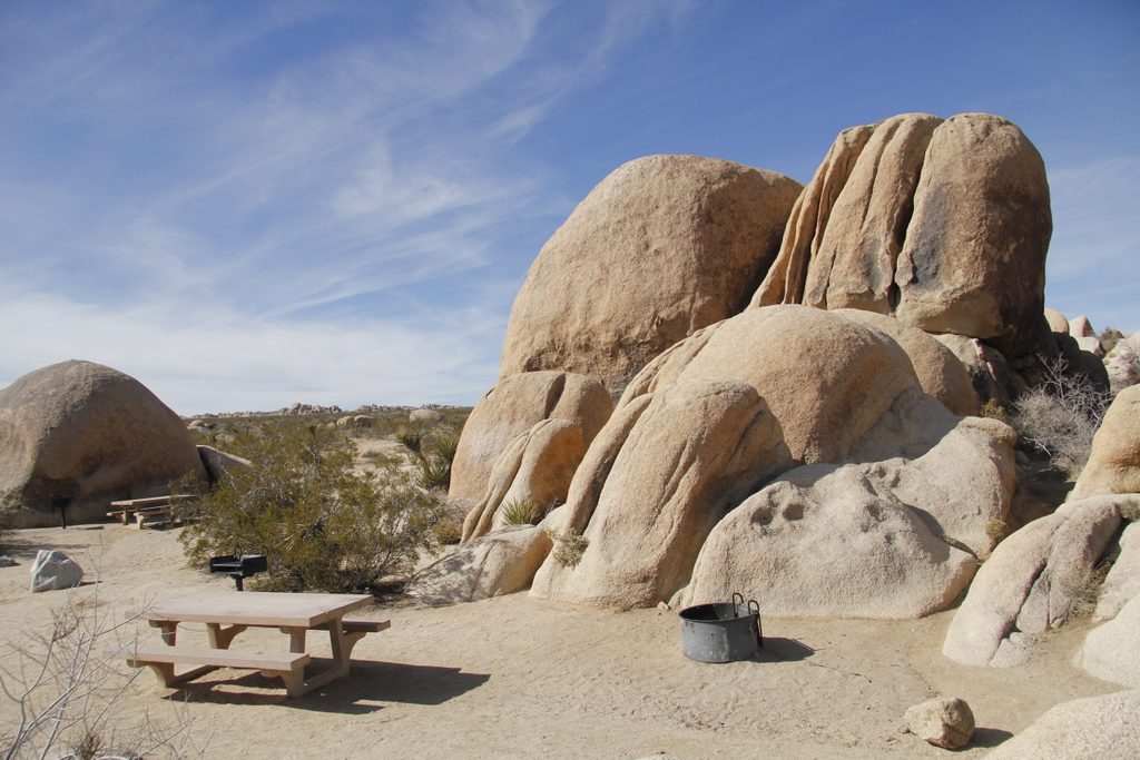
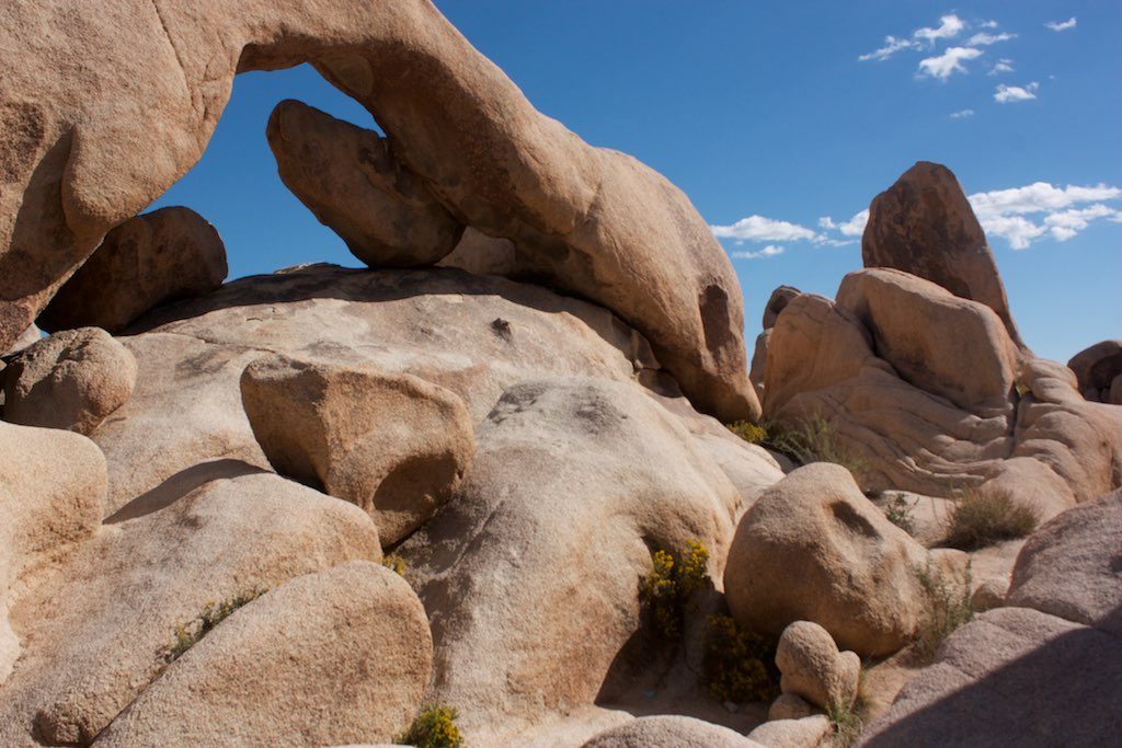
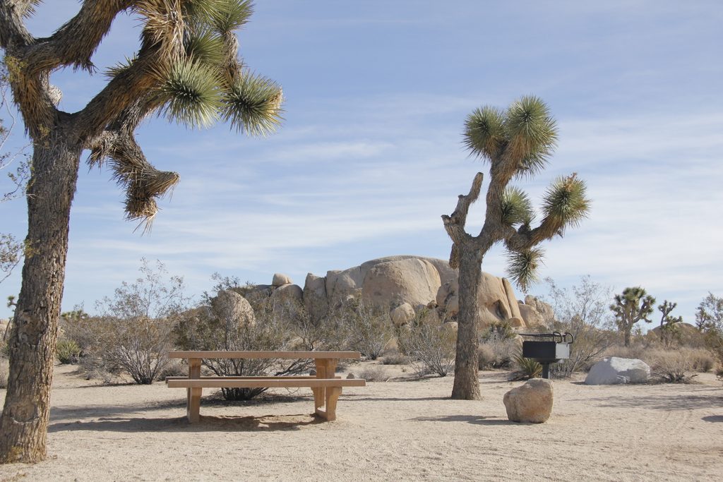
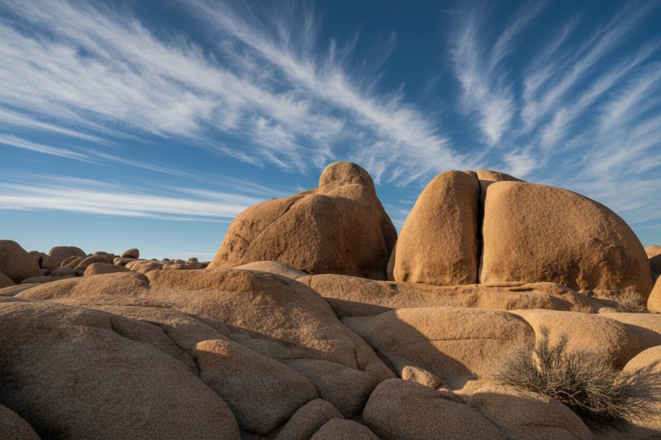
- Boulder piles and quartz outcrops, with broad, open desert in between.
- Petroglyph panels on select rocks if you take time to explore.
- Typical desert wildlife like birds and lizards, with animals more likely to visit if water is present.
The Walk
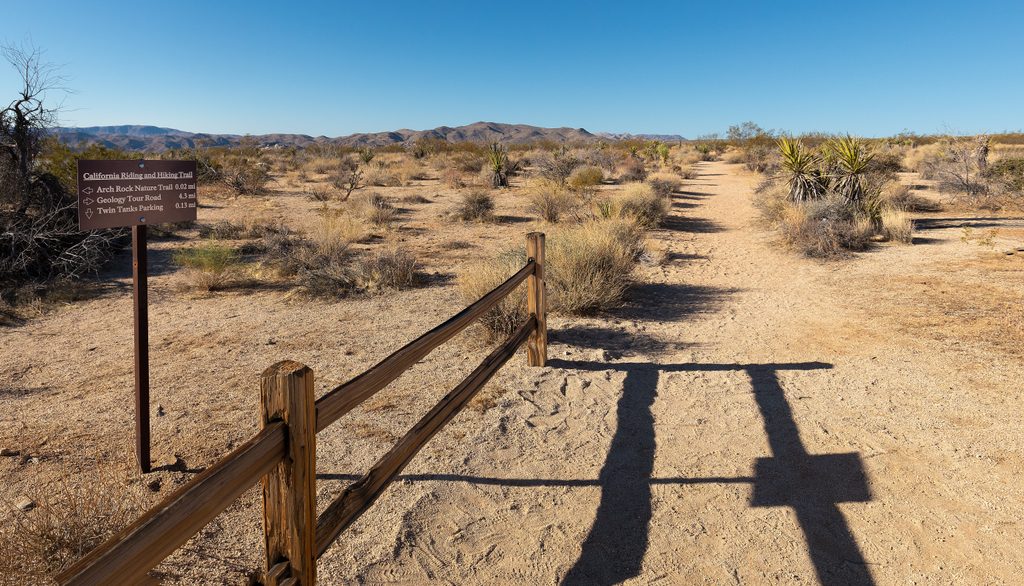
There’s no maintained trail to the tanks. Expect an easy-to-moderate, roughly 2-mile round trip on mostly flat desert, weaving around low rock piles. From the backcountry registration board, the terrain looks deceptively flat; the fun is in poking around the rock features until the basins reveal themselves.
How to Visit
Start from the signed Arch Rock and Twin Tanks trailhead/parking on Pinto Basin Road. This lot also serves Arch Rock and the California Riding and Hiking Trail (CRHT), so parking can be competitive on busy days. There’s a backcountry registration board here, and it’s the launch point for longer CRHT hikes (overnights require a permit). Services are minimal—come self-sufficient with water, sun protection, and snacks.
Etiquette and Rules
- Treat petroglyphs as sensitive cultural resources—look, photograph, but don’t touch.
- Camping is not allowed in posted day-use areas; backcountry camping is by the book (permits and distance rules apply).
- On the CRHT: no dogs, bikes, guns, or motorized vehicles; horses are allowed but must stay on trail and may not graze or drink from park water sources.
Photography
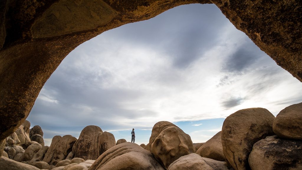
The mix of open desert, quartz outcrops, and weathered basins makes for moody compositions. Plan time to wander beyond the immediate view from the lot—the most interesting panels and features aren’t obvious from the car.
Best Time to Visit
Go early or late for softer light and cooler temps. After rain is ideal if you’re hoping to see water in the basins. Weekdays are typically quieter, and the cooler seasons make the exposed walking more pleasant.
Where it is
33.9883, -116.0375Tips for Twin Tanks
- 01Start from the Arch Rock and Twin Tanks trailhead on Pinto Basin Road.
- 02There’s no official trail—bring a map or GPS and time to explore.
- 03Aim for cooler hours and bring plenty of water and sun protection.
- 04Visit after rain if you want the basins to actually hold water.
- 05If you’re connecting to the CRHT for an overnight, secure the required permit.
Amenities
Near Twin Tanks
All places →All trails →
0.8 mi awayArch Rock Nature TrailShort, sandy stroll to a photogenic granite arch and boulders.Easy · 1.4 mi · 42 min
1.2 mi awayLive Oak Picnic AreaShady oak and boulders make an easy, scenic picnic stopPicnic Table · Parking
1.2 mi awayWhite Tank CampgroundBoulder-ringed, dark-sky campground steps from Arch RockCampground · Restroom
1.3 mi awayArch RockShort hike to a photogenic granite arch amid boulder playgroundTrailhead · Parking
1.4 mi awayBelle CampgroundTiny, scenic first-come campground tucked among boulders with stellar night skiesCampground · Restroom
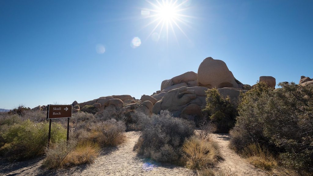
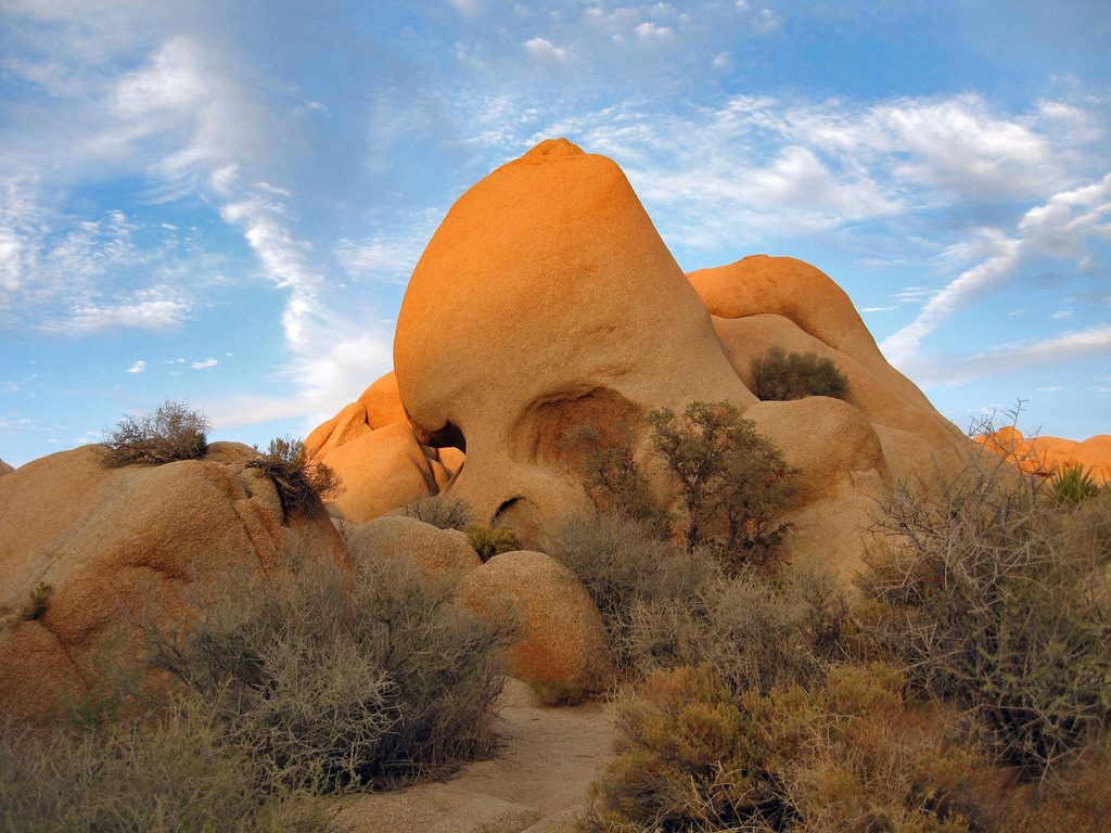
1.4 mi awayJumbo Rocks Nature TrailShort loop through jumbo boulders and Skull Rock photo opsEasy · 1.7 mi · 1.5 hr
1.4 mi awayDiscovery TrailKid-built loop through jumbo boulders, slot canyon, and desert plantsEasy · 0.7 mi · 18 min
1.8 mi awaySkull Rock Nature TrailShort, bouldery loop to the park’s most photogenic rockEasy · 1.7 mi · 1.2 hr