Parking
Use the roadside pullouts along Park Boulevard near Skull Rock. The signed Discovery trailhead is across the road; cross at the marked pedestrian crossing. Park fully off the pavement and away from deep sand and vegetation.

Joshua Tree National Park, CA
A short loop through washes, rock slots, and a desert overlook.
Overview
Map & elevation
Plan your hike

The highest, rockiest slopes around here are a summer buffet for grizzly bears.
Joshua Tree Tour Guide
Parkwolf is a GPS audio tour guide for Joshua Tree National Park. As you drive, it chimes in with what’s ahead: hidden gems, upcoming stops, history, geology, and wildlife, right through your car’s speakers.
See the Joshua Tree audio tourRecorded for this trailhead
Skull Rock and Its Rain-Worn Face“Skull Rock is coming up beside Park Boulevard. It's a quick stop for a granite boulder with two deep hollows that look like eye sockets; you don't need to walk the nature loop to see it.”
Plays as you drive up to this trailhead in the Parkwolf Joshua Tree Tour Guide.
More stories near here in the app
“Fantastic app with many points of information… It’s great to just turn on while you’re driving and it gives you an audio tour of the national Park. We love it!!!!”


Trail guide
Discovery Trail is a signed, easy 0.7-mile loop through sandy washes and jumbled granite boulders north of Skull Rock. It is a good pick if you want to get among the formations, read a few geology panels and take in a broad view without committing to the longer Split Rock loop. Expect about 30–45 minutes and around 70 feet of climbing; allow the full end of that range if you stop at the signs and overlook.
Start at the marked trailhead across Park Boulevard from Skull Rock and use the pedestrian crossing. The path winds through sandy washes, tight gaps and short rock slots, with occasional low steps and light scrambling over boulders. A junction connects to the separate Skull Rock Nature Trail; farther around, the Face Rock spur meets the longer Split Rock route. Stay with the Discovery markers at both connections and follow the loop back to the road—the neighboring routes can turn this short walk into a much longer outing.
A viewpoint has fixed binoculars and an illustrated panel aimed toward Skull Rock and the Jumbo Rocks formations. Take a moment there: the viewing scope and open boulder field are the trail's signature view. For a useful photo, keep the scope off-center with the rock skyline behind it rather than cropping down to the instrument.
A short side path reaches Face Rock from the shared junction; return the same way before finishing the Discovery loop. It adds about 0.1 mile and is excluded from the 0.7-mile main-loop distance above. The trail was built in 2013 by local students as an interpretive walk designed with children in mind, which helps explain the stops about how washes and boulder piles formed.
Park near Skull Rock along Park Boulevard, then use the marked crosswalk to the signed trailhead. The pullouts can be congested; park fully off the road and keep vehicles out of deep sand and desert plants. Shade is sparse outside the short rock passages, so bring water and sun protection. Pets are not allowed on this trail.
Wildlife
 129 sightingsBighorn SheepMost seen around 6 PMSighting map
 15 sightingsGolden EagleMost seen around 10 AMSighting map
 413 sightingsDesert TortoiseMost seen around 8 AMSighting map
 275 sightingsCoyoteMost seen around 6 AMSighting map
 47 sightingsBobcatMost seen around 6 PMSighting map
 32 sightingsMule DeerMost seen around 6 AMSighting map
Sighting maps show where each species has been reported across Joshua Tree. Wildlife moves, so no sighting is guaranteed.
Keep exploring
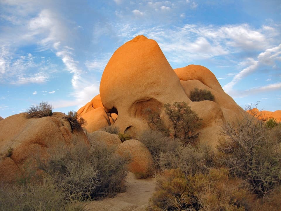 EasySkull Rock Nature Trail1.8 mi · 1.5 hr · At the trailheadA short loop to a skull-shaped granite formation
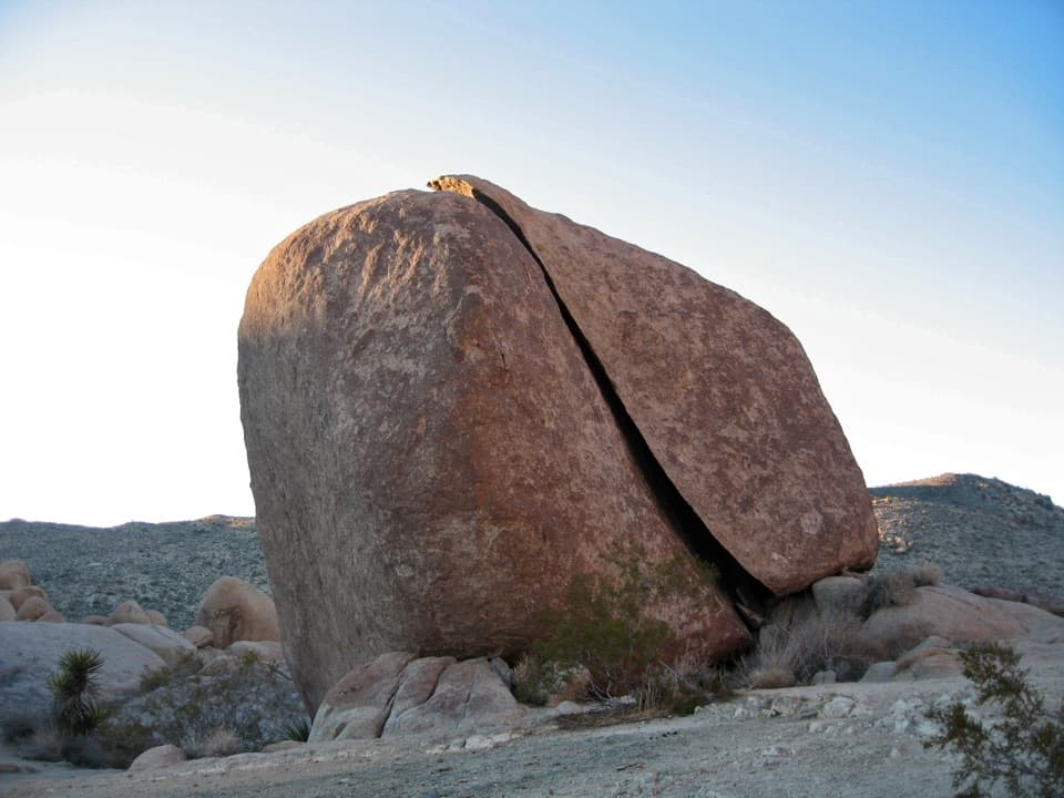 ModerateSplit Rock Loop Trail2.5 mi · 2 hr · 0.8 mi awayA short boulder loop with a Face Rock detour worth the turn.
 EasyLucky Boy Loop3.3 mi · 2.3 hr · 1.9 mi awayDesert views, old mine remains, and a final road stretch.
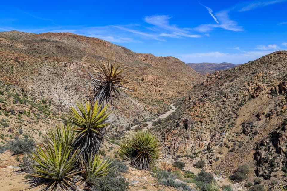 EasyLucky Boy Vista Trail2.5 mi · 1.5 hr · 1.9 mi awayAn easy desert walk to mine remains and a wide valley overlook.
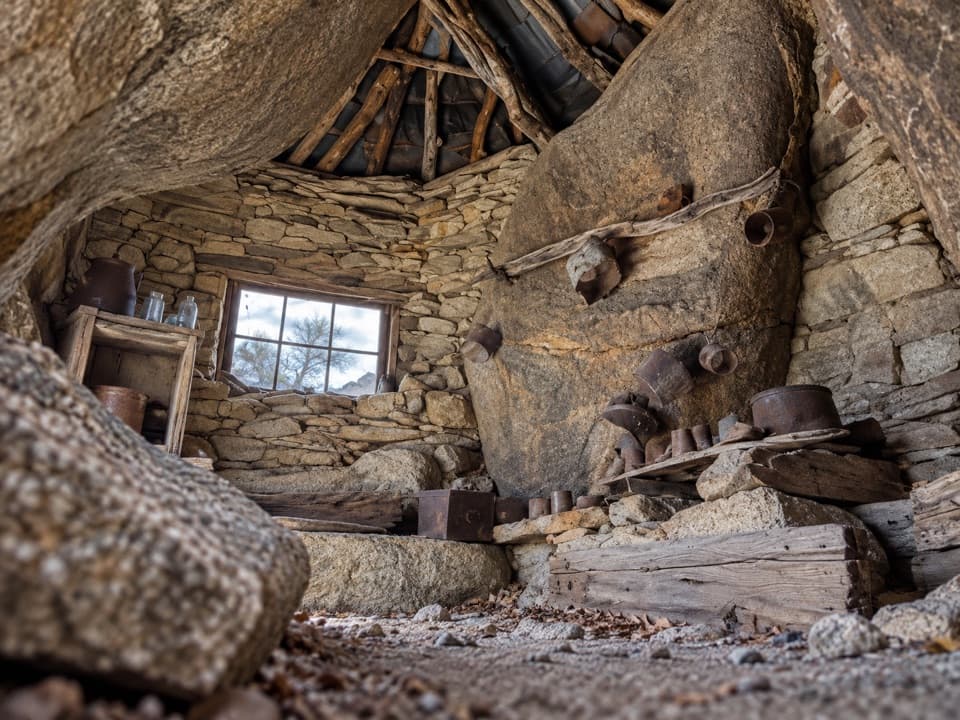 ChallengingEagle Cliff Mine Trail3.5 mi · 3 hr · 2 mi awayA hidden cabin in boulders, reached by a faint desert route
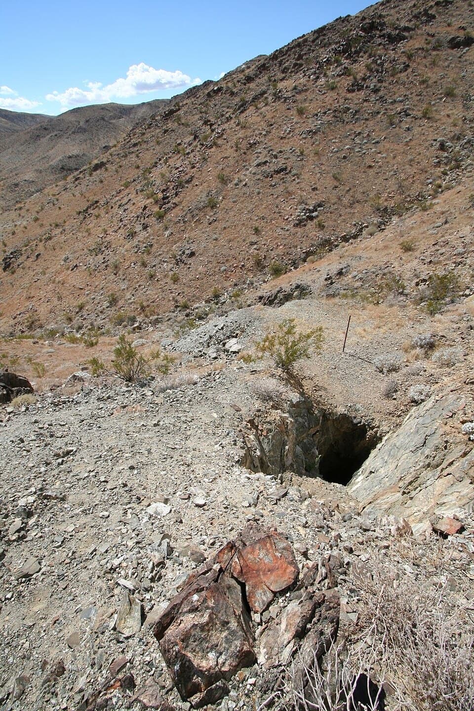 EasyDesert Queen Mine Trail1.5 mi · 1.3 hr · 2 mi awayOld mine gear rewards a short desert walk; stay outside the gates.
 EasyPine City Trail4 mi · 2.5 hr · 2.1 mi awayA desert walk to pinyons tucked among granite boulders.
 EasyArch Rock Trail1.3 mi · 1 hr · 2.2 mi awayA short sandy walk ends at a sculpted granite arch.Sight · At the trailheadSkull RockA skull-shaped granite boulder makes a memorable roadside pause.
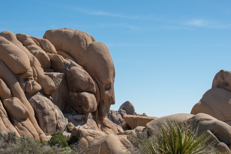 Sight · 0.2 mi awayFace RockA face in the rocks rewards a short spur detour.
 Campground · 0.5 mi awayJumbo Rocks CampgroundA campsite in a maze of boulders, with stars overhead after dark.
 Picnic area · 0.6 mi awayLive Oak Picnic AreaPicnic tables, boulders to scramble, and a curious old oak.Sight · 0.9 mi awaySplit RockThe namesake boulder sits at the start of a 2.5-mile desert loop.
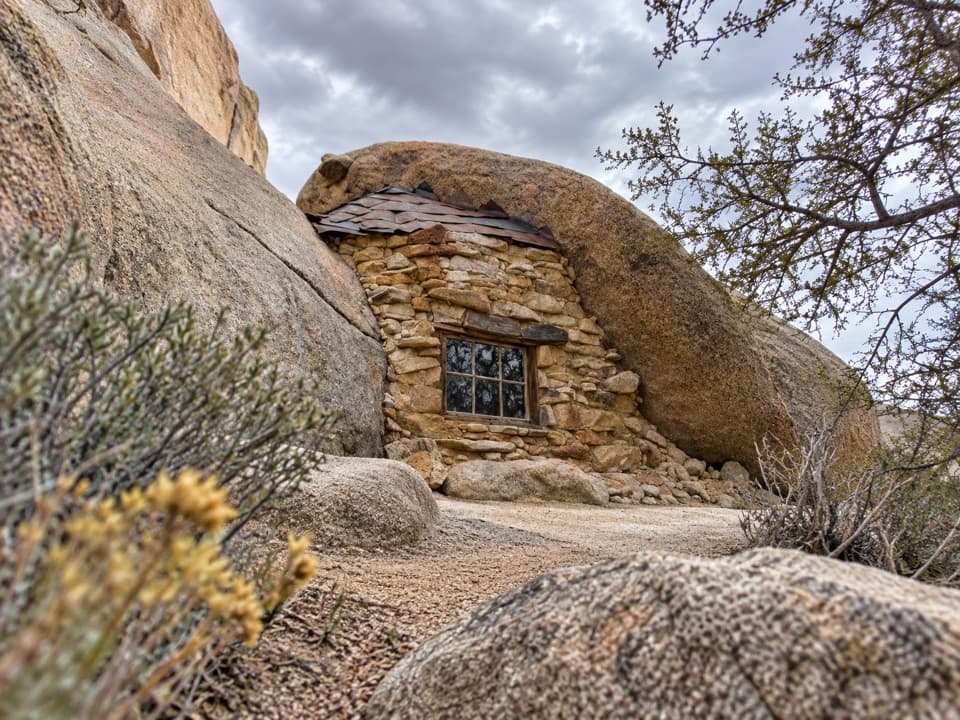 Sight · 1.7 mi awayEagle Cliff Mine and Boulder HouseA miner’s stone cabin tucked into a narrow boulder cleft.
 Sight · 1.9 mi awayDesert Queen MineWalk a short loop past ore bins, old shafts and mining debris.
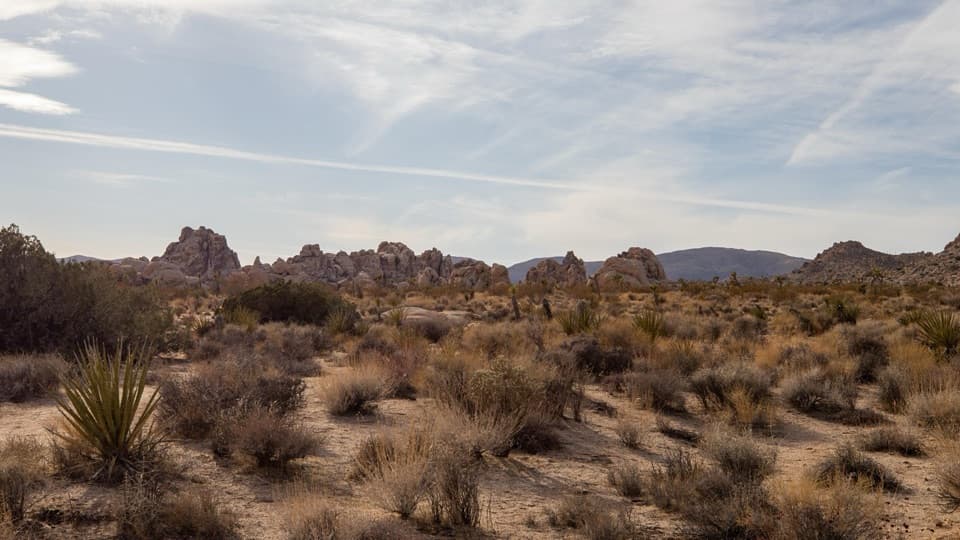 Sight · 2.3 mi awayTowers of Uncertainty ViewpointPale rock islands rise from the flats beside a climber's approach.
Parkwolf’s Joshua Tree ranking

The audio tour guide for the drive, plus offline maps, trails, and wildlife heatmaps for when the signal drops.




