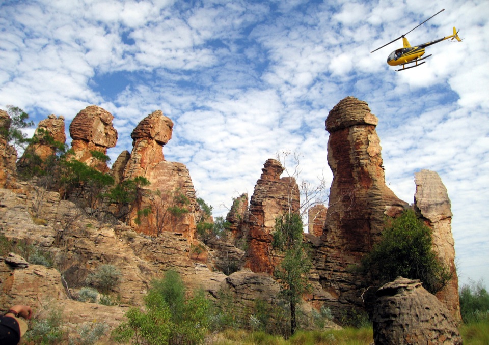
Tableland Creek (Sybel Springs) in Litchfield National Park

Campground · Litchfield National Park

Tableland Creek (Sybel Springs)

Rough 4WD track to secluded creek pools and ridge-top camping

Overview

About Tableland Creek (Sybel Springs)

Why stop

  • Secluded pools and small cascades
  • Quiet creekside camping

Heads up

  • High-clearance 4WD access and a rough approach
  • Steep, slippery descent and no developed facilities
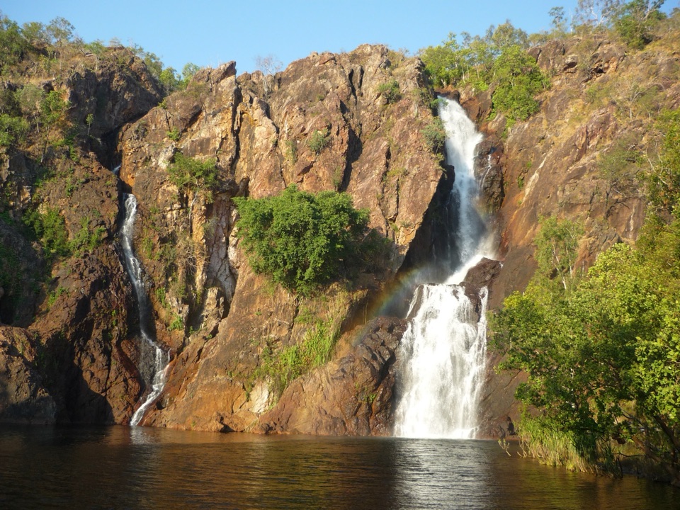
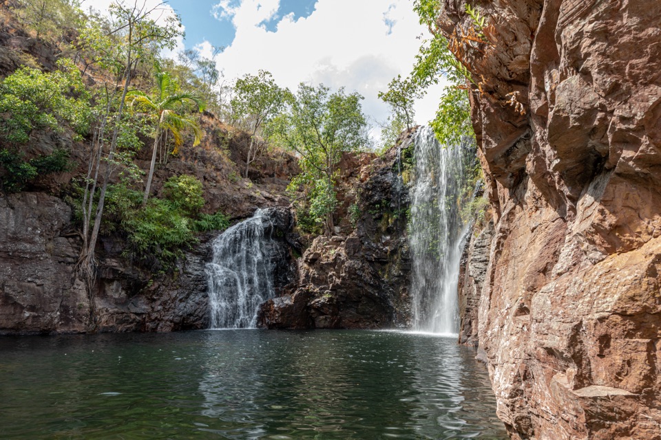
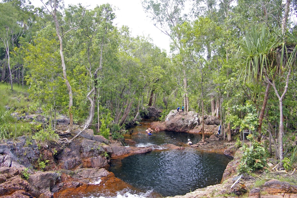
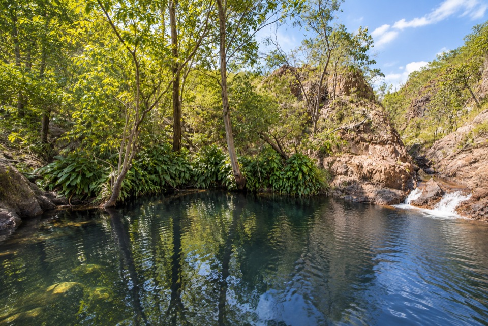
Tableland Creek, known locally as Sybel Springs, sits near the southern edge of Litchfield and rewards the effort of getting there with a rocky creek gorge holding dark, cool pools and small cascades. It is a lesser-known spot rather than a roadside stop, and the walk-in campground above the creek is secluded and remote.
Parkwolf’s verdictWhy stop here

Map

Where it is

Loading the Litchfield map
Full map
CampgroundTableland Creek (Sybel Springs)-13.49315, 130.85604
Keep this map with you offline in the Parkwolf app

Plan your stop

Before you go

Best time to go

Early to mid dry season is the most useful window, with June and July generally the best value. The upper pools and falls become less reliable later in the dry season and can dry back, while wet season rain affects both the creek and the track. Plan around a dry, settled stretch and give yourself daylight for the drive in and the walk down.


Getting there and access

Access is by an unmarked track off Daly River Road in the southern part of the park. A high-clearance 4WD is recommended and the approach is rough, with a steeper, rutted section near the end. There is a small carpark at the top of the ridge, and from there a steep and slippery footpath drops down to the creek. Take your time on the descent, and remember the return is uphill.

3 active Litchfield alerts

  • CautionReynolds River Track: deep water crossingsMentions this placeThe Reynolds River Track is open to 4WDs only, but rough conditions and water crossings about 500–600 mm deep require care.Official details
  • ClosureTabletop Track closedThe Tabletop Track is closed because an Excess Heat Warning is in effect and there is no accessible drinking water. - Permit access only; do not plan an unpermitted walk on the track.Official details
See all 3 alerts
A park ranger sits on a dash-mounted phone, talking, as Parkwolf’s Tour Guide plays “Army Cutworm Moths: A Grizzly Bear Buffet” on Grand Loop Road below Dunraven Pass in Yellowstone
Parkwolf Tour GuideThe highest, rockiest slopes around here are a summer buffet for grizzly bears.

Litchfield Tour Guide

Your drive to Tableland Creek (Sybel Springs), narrated.

Parkwolf is a GPS audio tour guide for Litchfield National Park. As you drive, it chimes in with what’s ahead: hidden gems, upcoming stops, history, geology, and wildlife, right through your car’s speakers.

More stories near here in the app

  • Tableland Creek Takes a Plan
  • The Finch with Three Faces
  • Why the Ground Runs Red
  • The Name on the Reynolds Track
  • 68 audio storiesacross Litchfield’s roads, triggered by GPS as you drive
  • Works offlinemaps, 17 trails, 31 places, and audio download before you lose signal
  • CarPlay readysimple controls built for the drive
★★★★★
“Fantastic app with many points of information… It’s great to just turn on while you’re driving and it gives you an audio tour of the national Park. We love it!!!!”
JMJamesApp Store review
Download Parkwolf on the App StoreGet Parkwolf on Google Play

4.7 from 8,600+ ratings

Guide

More about Tableland Creek (Sybel Springs)

What you see and doWater levels, depth and clarity change through the year, so treat every pool on its own merits…

Water levels, depth and clarity change through the year, so treat every pool on its own merits and follow any current posted swimming warnings.

  • A shaded gorge cut through tropical woodland, with rock ledges and pockets of shade near the water
  • Repeated pools and small falls along the creek, including a deeper pool downstream and further pools if you continue upstream on foot
  • Ridge views from the high ground near the campsite, where the camping area looks out over the surrounding country
  • Swimming in the pools when conditions allow, along with rock scrambling and creek walking between them
Camping and bookingThis is a Category B, walk-in campground, so you park at the top and carry your gear in.

This is a Category B, walk-in campground, so you park at the top and carry your gear in. Book online before you arrive. Expect a sparse, remote site rather than a developed campground, with views from the ridge.

What to bringDrinking water for the whole visit, since no treated or drinkable water is documented here
  • Drinking water for the whole visit, since no treated or drinkable water is documented here
  • A rubbish and toilet waste plan, as there are no toilets, showers, tables or other developed facilities recorded at this site
  • Sturdy shoes with grip for the steep, loose descent and rock hopping
  • Sun protection and a light pack so you can carry camping gear and water in one trip
Honest drawbacksThe drive is the hardest part, and a standard 2WD or low-clearance vehicle is not suitable.

The drive is the hardest part, and a standard 2WD or low-clearance vehicle is not suitable. The path to the water is short but steep and slippery, which makes it awkward with children, heavy packs or unsteady footing. There is nothing built here, so self-sufficiency is essential, and the most photogenic upper pools may hold little water if you arrive late in the season. Anyone wanting facilities, easy parking or a guaranteed swim will be better served by the park's developed falls.

Parkwolf’s Litchfield ranking

Top sights in Litchfield

All 31 places
  1. 1Wangi FallsSight
  2. 2Florence FallsSight
  3. 3Buley RockholeSight
  4. 4Magnetic Termite MoundsSight
  5. 5Tolmer FallsSight
  6. 6The Lost CitySight

Take Parkwolf to Litchfield.

The audio tour guide for the drive, plus offline maps, trails, and wildlife heatmaps for when the signal drops.

4.7 from 8,600+ ratings

Download Parkwolf on the App StoreGet Parkwolf on Google Play