Best time to go
The site closes during the wet season, when the track becomes completely impassable. Plan this one for the dry season, and aim for early morning or late afternoon if you want softer light and long shadows through the formations.
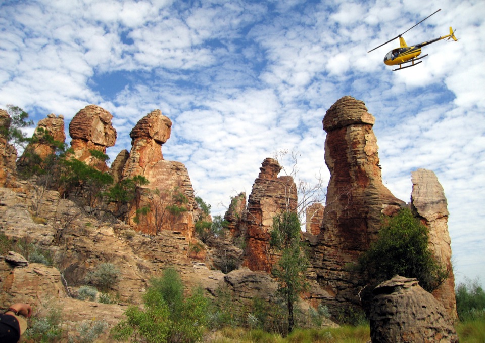
#6 of 15 sights in Litchfield
Sight · Litchfield National Park
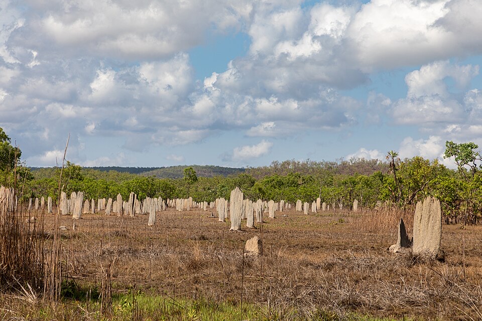
Towering sandstone blocks like ruined city streets, reached only by 4WD
Overview
Map
Plan your stop

The highest, rockiest slopes around here are a summer buffet for grizzly bears.
Litchfield Tour Guide
Parkwolf is a GPS audio tour guide for Litchfield National Park. As you drive, it chimes in with what’s ahead: hidden gems, upcoming stops, history, geology, and wildlife, right through your car’s speakers.
Recorded for this place
The Lost City“You're approaching the Lost City, where huge sandstone blocks stand like walls and narrow streets. After the long four-wheel-drive track, the walk itself is a short loop, roughly seven hundred metres, so take it slowly.”
Plays as you drive up to The Lost City in the Parkwolf Litchfield Tour Guide.
More stories near here in the app
“Fantastic app with many points of information… It’s great to just turn on while you’re driving and it gives you an audio tour of the national Park. We love it!!!!”


Guide
A cluster of towering sandstone formations stands in loose ranks across open country, and the overall effect really does read like the ruins of an ancient city: blocks stacked into walls, pillars, doorways and narrow lanes. There is no literal history here, just rock shaped into shapes your brain insists on naming. The payoff is the scale and the strangeness of walking among them.
Keep exploring
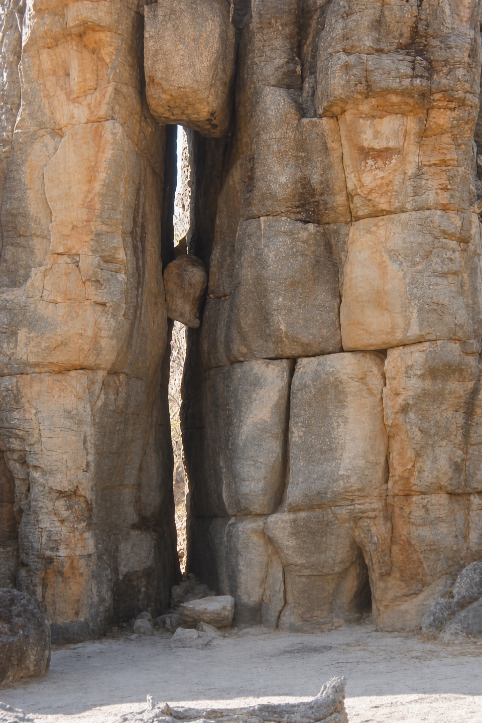 EasyThe Lost City Walk0.7 km · 30 min · 0.1 km awayA short wander among sandstone pillars, reached only by 4WD.
 EasyTolmer Falls Lookout Walk0.8 km · 20 min · 2.9 km awayA short sealed path to two decks over Tolmer's deep gorge.
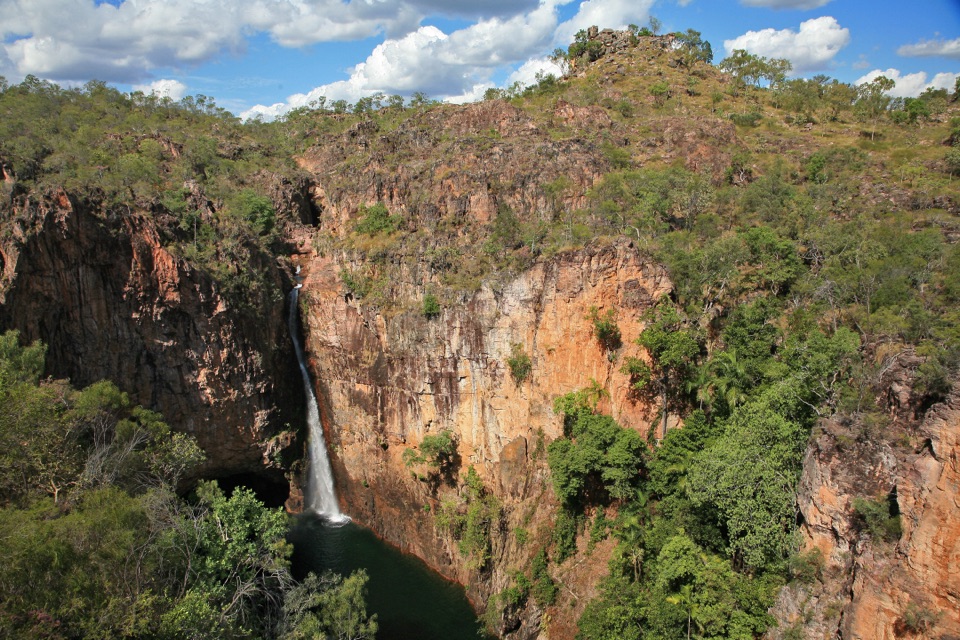 ModerateTolmer Falls Walk1.6 km · 45 min · 2.9 km awayA short loop pairs the falls platform with a rocky creek return.
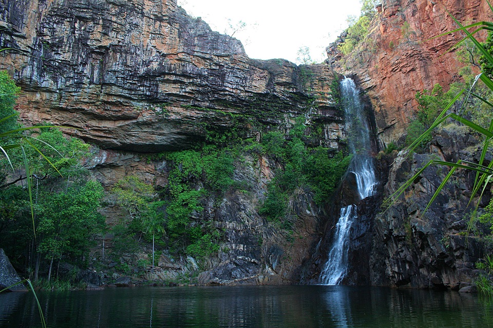 ModerateTjaynera Falls Walk3.4 km · 1.5 hr · 3.8 km awayCycads, paperbarks, and a plunge pool beneath the falls.
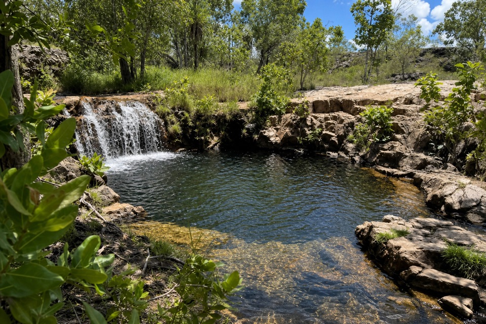 ModerateGreenant Creek Walk3.1 km · 1.5 hr · 4.2 km awayShade gives way to a steep climb and a falls lookout.
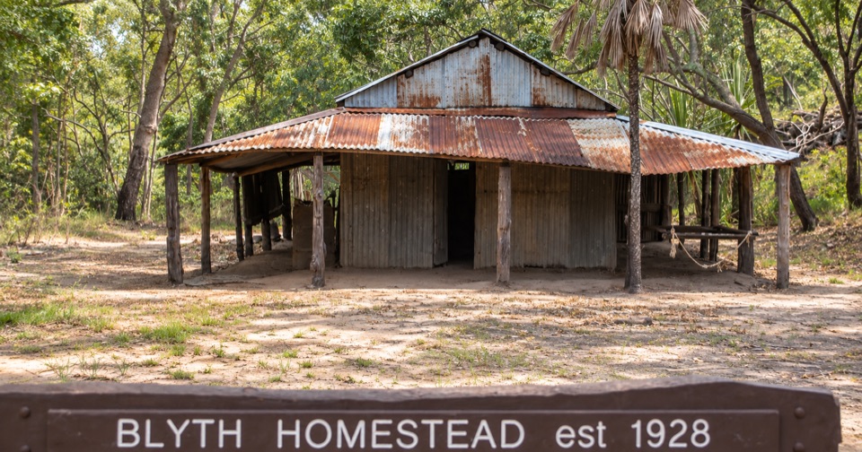 Sight · 2 km awayBlyth HomesteadRestored 1928 pastoral homestead deep on the Reynolds River 4WD trackSight · 2.6 km awayTolmer FallsTwin escarpments, one deep plunge pool, and a short sealed path
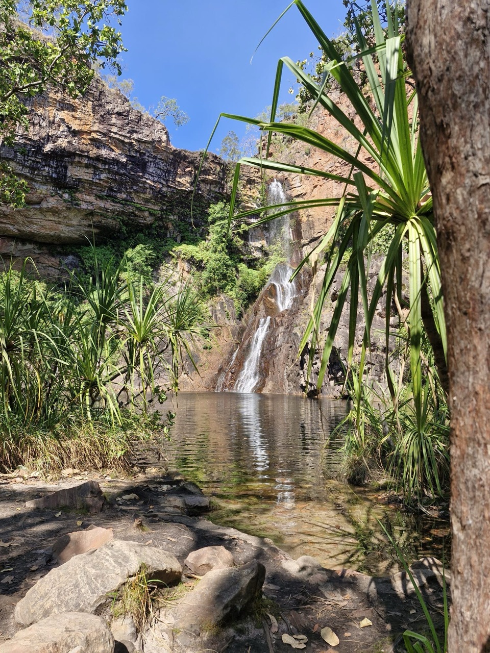 Campground · 3.8 km awayTjaynera Falls Campground (Sandy Creek)Secluded 4WD bush camp with a paperbark walk to a plunge poolSight · 3.9 km awayTjaynera Falls (Sandy Creek Falls)Deep plunge pool at the end of a 4WD-only creek walk
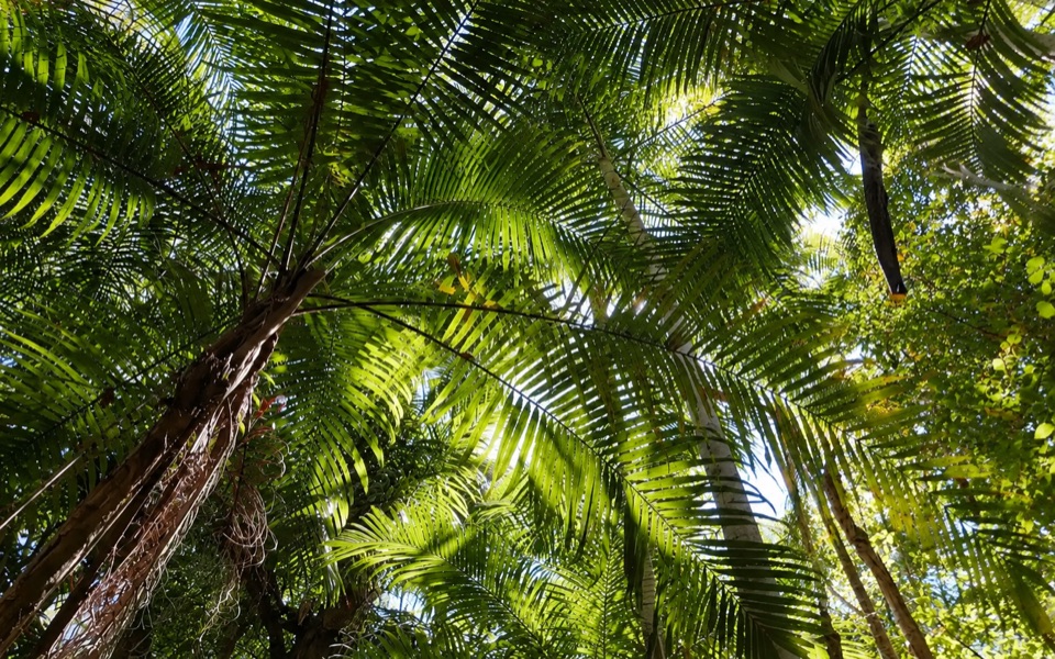 Picnic area · 4.2 km awayGreenant Creek Picnic AreaShady creekside start to a 2.7 km return walk and lookout
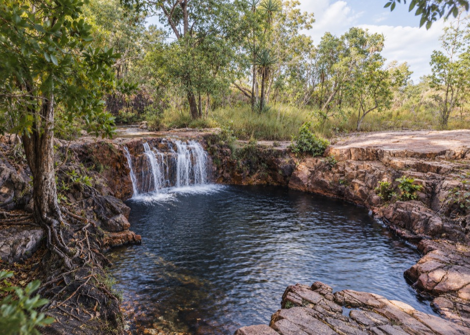 Sight · 4.4 km awayTjaetaba FallsShady creek walk climbing to a quiet rocky cascade
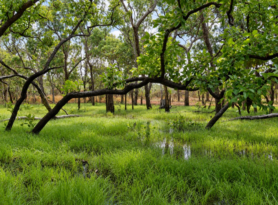 Sight · 4.6 km awayTabletop SwampA paperbark-fringed wetland for a quiet picnic and unhurried birdwatching
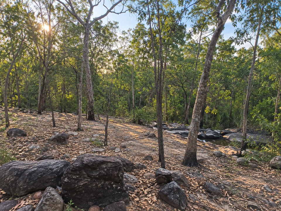 Campground · 6.8 km awaySouthern Campground (Tabletop Track)Rugged riverbed camp 15 km into the Tabletop Track loop
Parkwolf’s Litchfield ranking

The audio tour guide for the drive, plus offline maps, trails, and wildlife heatmaps for when the signal drops.