Pros & cons
PROS
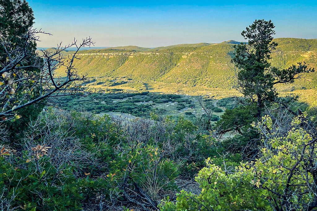
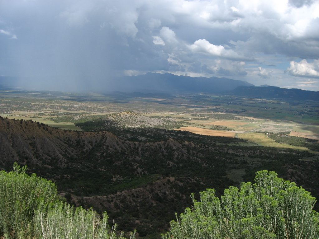
- Big views over the Mancos Valley and La Plata Mountains
- Easy, quick stop right after entering the park
- Picnic table for a scenic snack break
CONS
- Small parking area that fills at busy times
- No restrooms or water at the overlook
Overview
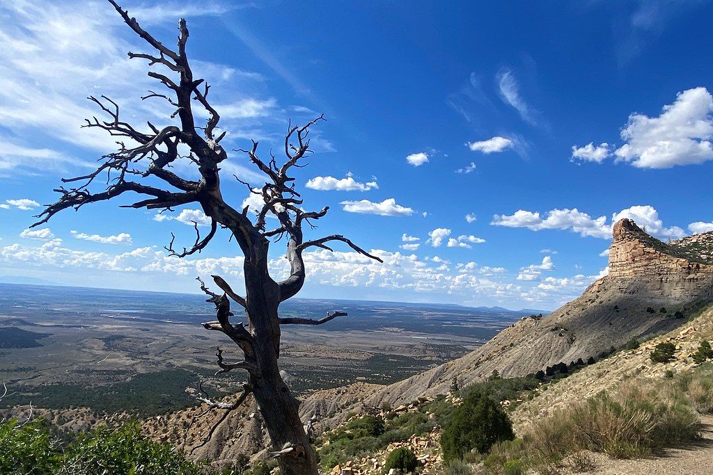
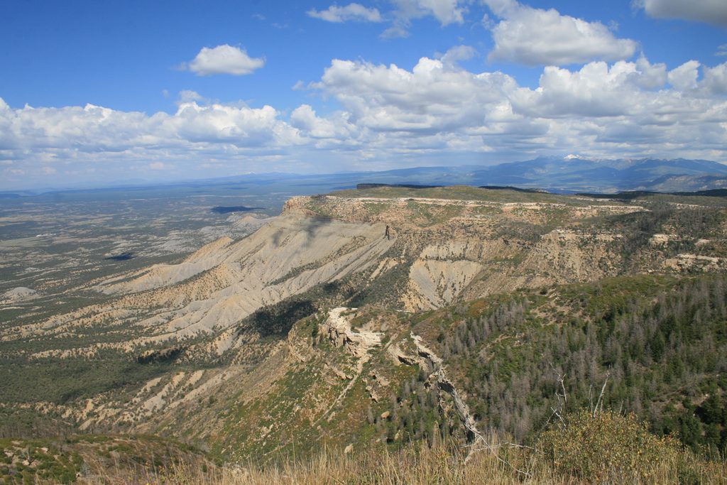
This signed roadside viewpoint kicks off your visit with a sweeping look back over the Mancos Valley toward the La Plata Mountains. It’s one of the first stops after you begin the climb from the entrance, making it a natural place to pull over, catch your breath, and get your bearings.
What You’ll See
Expect wide-open valley vistas and, on clear days, a crisp mountain skyline. From this lower end of the entrance road, you’re also looking across classic gray, rounded hills of Cretaceous Mancos Shale—the soft mudstone that underlies the park’s higher cliffs and mesas. It’s a great spot to start understanding the park’s layered story.
Geology in Plain Sight
Mesa Verde is technically a cuesta—a gently tilted upland—with harder sandstones capping softer shales. From here you’re looking up into the stack: Mancos Shale below, then Point Lookout Sandstone, Menefee Formation, and Cliff House Sandstone higher on the cuesta. Those tougher sandstones host the famous alcoves carved by seep springs and freeze-thaw, but the view here highlights the foundational shale that shaped the lower slopes.
A Note on History
Look for the profile of the Knife Edge, a distinctive ridge tied to the park’s early road history. The original narrow Knife Edge Road was eventually replaced by a safer modern route, but the feature remains a recognizable landmark on this side of the park.
Facilities and Layout
This is a simple paved pullout with a rail-and-view area. Reviewers note a picnic table, but there are no restrooms or water here. Use the Mesa Verde Visitor and Research Center near the entrance or other developed areas for services. Space is limited and can feel tight for larger RVs.
Best Time to Visit
- Light: Morning and late-day light make the valley pop; afternoons can be hazy.
- Crowds: Early or later in the day helps with the small parking area.
- Photos: Soft side light brings out texture in the shale hills and distant peaks.
Quick Stop Game Plan
- Hit the Visitor and Research Center first for restrooms and water, then drive up and pull in here for your orientation view.
- Pair this stop with nearby entrance-area perspectives (like the Point Lookout/Knife Edge area) for a quick geology sampler before heading deeper into the park.
Where it is
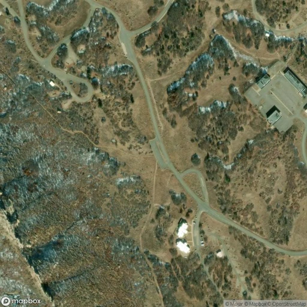
37.3045, -108.4103Tips for Mancos Valley Overlook
- 01Stop at the Visitor and Research Center for restrooms and water before the climb.
- 02Aim for morning or late afternoon light; afternoons can be hazy.
- 03Parking is limited—swing by early or late to avoid the crunch.
- 04If you’re in an RV, pull in carefully and watch the grade when re‑merging.
Amenities
Near Mancos Valley Overlook
All places →All trails →
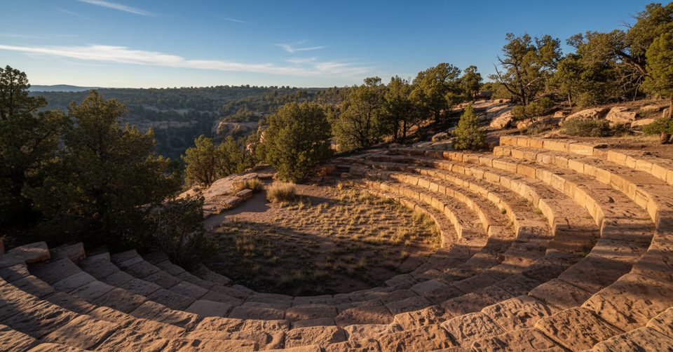
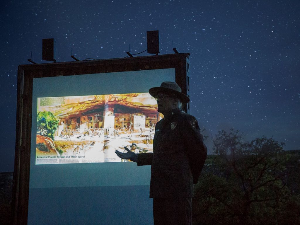
0.4 mi awayMesa Verde AmphitheaterSummer ranger talks under starry skies at Morefield CampgroundRestroom · Campground
0.4 mi awayChapin AmphitheaterOutdoor program spot beside the museum, easy to bundle with overlooksParking · Restroom
0.5 mi awayMorefield CampgroundIn-park basecamp with pancakes, showers, and trailheads nearbyCampground · Restroom
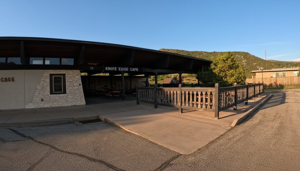
0.5 mi awayKnife Edge CafePatio breakfast spot for all-you-can-eat pancakes before you exploreFood · Restroom
0.7 mi awayPrater Ridge TrailBig mesa views with two loops; steep, sunny climb from campgroundChallenging · 7.8 mi · 4 hr
0.8 mi awayKnife Edge TrailEasy sunset stroll on a historic road with big Montezuma Valley viewsEasy · 2 mi · 1 hr
3.3 mi awayPark Point Overview TrailShort paved climb to the park’s high point with four state viewsEasy · 0.4 mi · 18 min
6.8 mi awayFar View Sites TrailShort self-guided ruins loop with six mesa-top Ancestral Pueblo sitesEasy · 0.8 mi · 30 min