Parking
The Knife Edge trailhead is inside Morefield Campground; use the signed trail access and designated auto parking there. The café, camp store and restroom are at nearby Morefield Village, separate from the walk.
#10 of 22 trails in Mesa Verde
Mesa Verde National Park, CO
A level old road, a wide sunset view over Montezuma Valley.
Overview
Map & elevation
Plan your hike

The highest, rockiest slopes around here are a summer buffet for grizzly bears.
Mesa Verde Tour Guide
Parkwolf is a GPS audio tour guide for Mesa Verde National Park. As you drive, it chimes in with what’s ahead: hidden gems, upcoming stops, history, geology, and wildlife, right through your car’s speakers.
See the Mesa Verde audio tourRecorded for this trailhead
Knife Edge Trail“Knife Edge Trail is coming up, a mostly level walk from Morefield Campground along the old park road. Choose it for views across Montezuma Valley, especially in the late light.”
Plays as you drive up to this trailhead in the Parkwolf Mesa Verde Tour Guide.
More stories near here in the app
“Fantastic app with many points of information… It’s great to just turn on while you’re driving and it gives you an audio tour of the national Park. We love it!!!!”


Trail guide
Knife Edge Trail follows part of Mesa Verde’s former entrance road from Morefield Campground. The mapped walk covers about three-quarters of a mile each way, for 1.5 miles round trip, with less than 60 feet of relief. Allow 45 minutes to an hour, including time for the view. The full road corridor is often listed as 2 miles round trip; this route turns back before its final quarter, so follow the posted trail signs and use the shorter distance for the mapped walk.
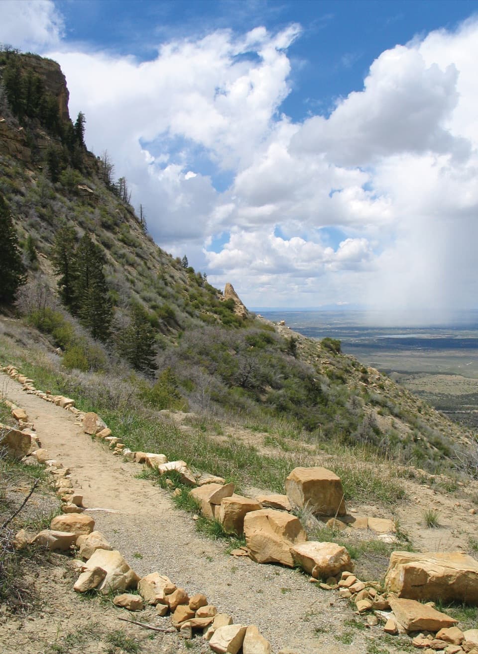
The start has a slight rise, then the walk is mostly level along the north edge of the mesa. The old road once carried the main park entrance route, and its alignment follows the rim above Montezuma Valley. Stay on the tread near the escarpment and leave the surrounding soil and plants undisturbed.
The view opens across Montezuma Valley, with Sleeping Ute Mountain near the western horizon and Totten Reservoir and Summit Lake farther away. The late light is the draw here. For a photo, keep some of the stone-edged path in the foreground with the valley beyond; the trail setting shows how close the route runs to the rim.
A ridge path called Crinkly Edge was described in 1892. In 1911, this narrow, steep line became part of Mesa Verde’s main entrance road. A safer bypass through Morefield and Prater Canyons took over by 1914; the scenic road reopened in 1924 and stayed in use until the Morefield-Prater tunnel opened in 1957. The trail preserves part of that earlier approach to the park.
The trail passes through open meadow, oak chaparral and Douglas-fir woodland. Springs along the cliffs draw birds; orange-crowned warblers, western tanagers and lazuli buntings are among the species associated with the area. Treat those as seasonal possibilities, not a checklist.
The trailhead is within Morefield Campground. Nearby Morefield Village has a café, camp store and restroom, but those are separate from the walk and their hours vary. This is a day-use trail; pets and bicycles are not allowed. Mesa Verde sits above 7,000 feet, and the exposed route can be hot in summer, so plan around heat and bring water.
Wildlife
 36 sightingsBlack BearMost seen around 8 PMSighting map
 160 sightingsMule DeerMost seen around 7 AMSighting map
 14 sightingsGolden EagleMost seen around noonSighting map
 54 sightingsWild HorseMost seen around 7 AMSighting map
 24 sightingsCoyoteMost seen around 8 PMSighting map
 37 sightingsWild TurkeyMost seen around 7 AMSighting map
Sighting maps show where each species has been reported across Mesa Verde. Wildlife moves, so no sighting is guaranteed.
Keep exploring
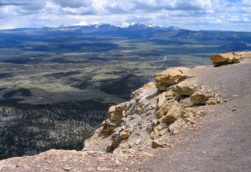 ModeratePoint Lookout Trail2.2 mi · 2 hr · 0.4 mi awaySteep switchbacks lead to valley views and the winding park road.
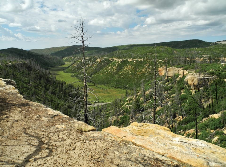 ChallengingPrater Ridge Trail7.8 mi · 4 hr · 0.7 mi awayTwo loops open onto canyons on opposite sides of the ridge.
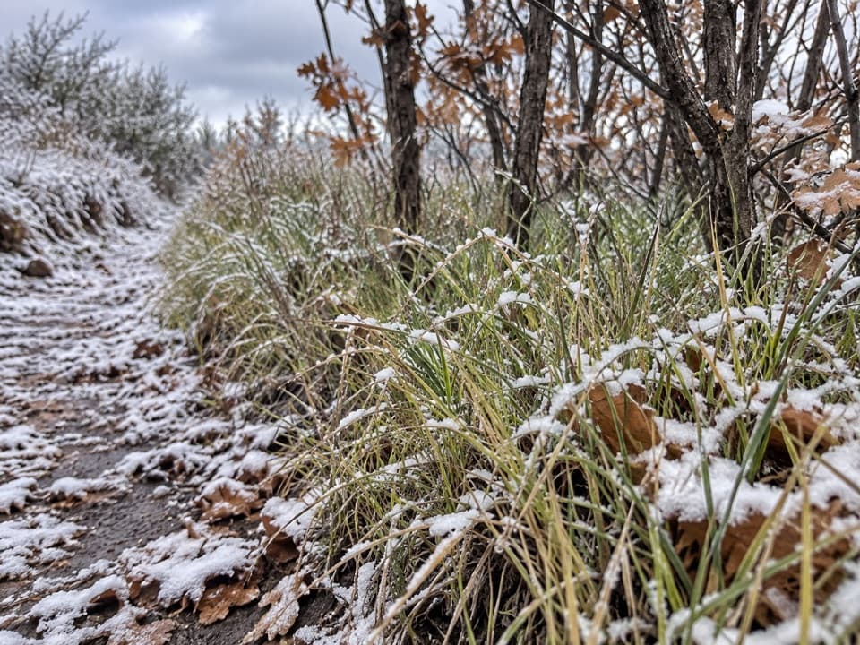 ModeratePrater Ridge North Loop Trail5.7 mi · 3.5 hr · 0.7 mi awayA steady climb opens to Montezuma Valley and San Juan views.ModeratePrater Ridge South Loop Trail4.6 mi · 2.5 hr · 0.7 mi awayA steady climb buys wide views into two canyon heads.
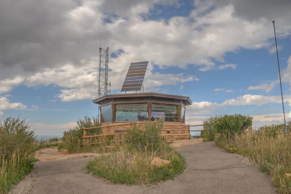 EasyPark Point Overlook Trail0.4 mi · 30 min · 2.6 mi awaySteep paved climb to Four Corners views from Mesa Verde's high point.
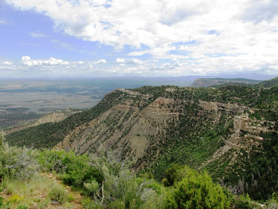 EasyGeologic Overlook Trail0.2 mi · 15 min · 3.7 mi awayTwo Mesa Verde geology viewpoints on a very short uphill walk.
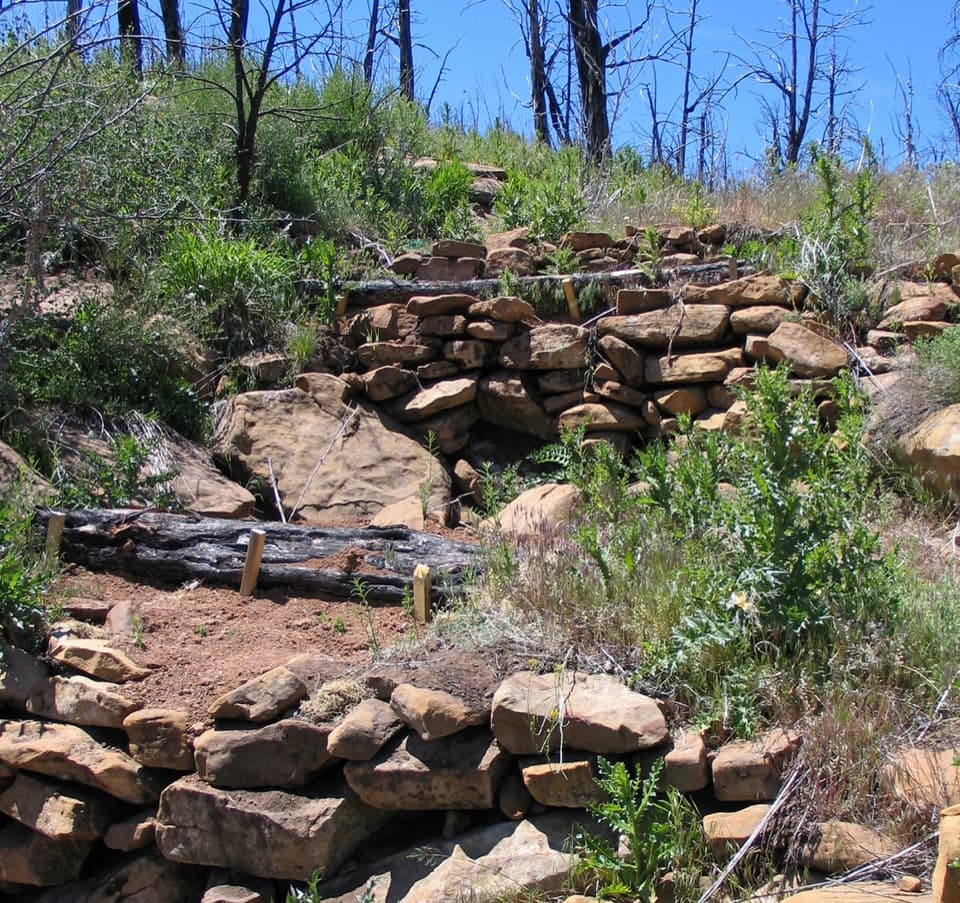 EasyFarming Terrace Trail0.5 mi · 36 min · 8 mi awayA half-mile loop through 800-year-old farming terraces
 ChallengingSpruce Canyon Trail2.4 mi · 2 hr · 9 mi awayA steep loop into Mesa Verde's cool, shaded canyon.
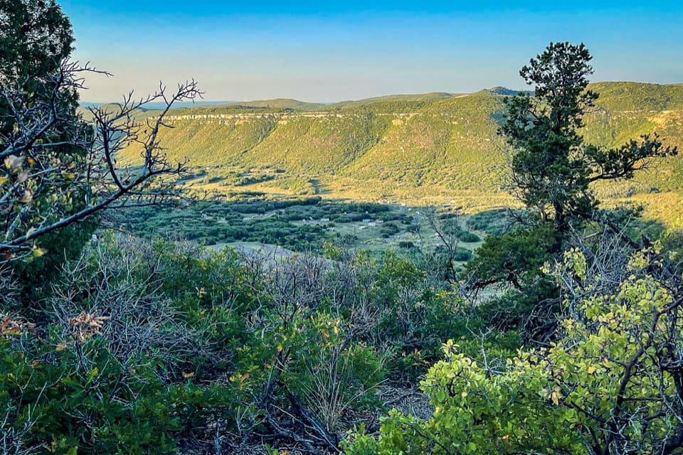 Campground · 0.4 mi awayMorefield CampgroundCamp inside Mesa Verde, four miles beyond the entrance.
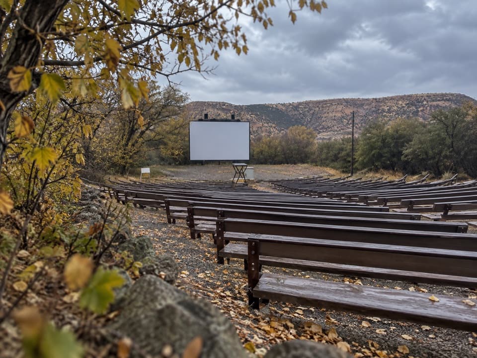 Sight · 0.4 mi awayMorefield Campground AmphitheaterRanger talks here carry on an evening tradition from 1907.
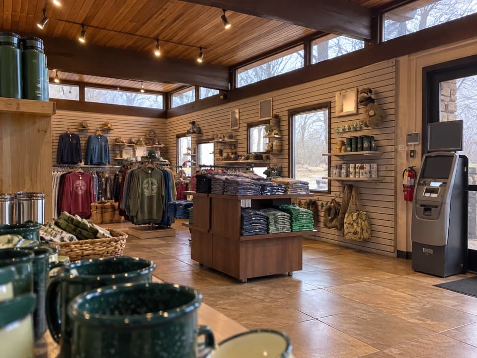 Store · 0.7 mi awayMorefield Campground StoreA quick camp check-in and a fix for the forgotten essential.
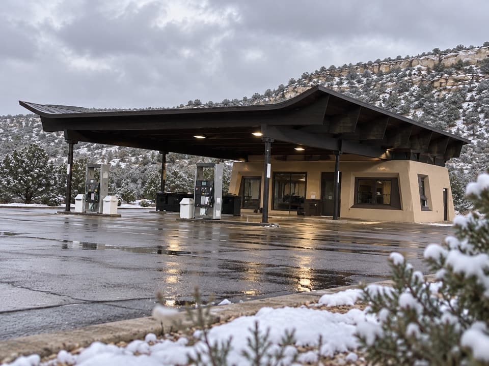 Gas station · 0.7 mi awayMorefield Gas StationYear-round gasoline about four miles beyond the entrance.
 Restaurant · 0.7 mi awayKnife Edge CaféSave a summer morning for all-you-can-eat pancakes.
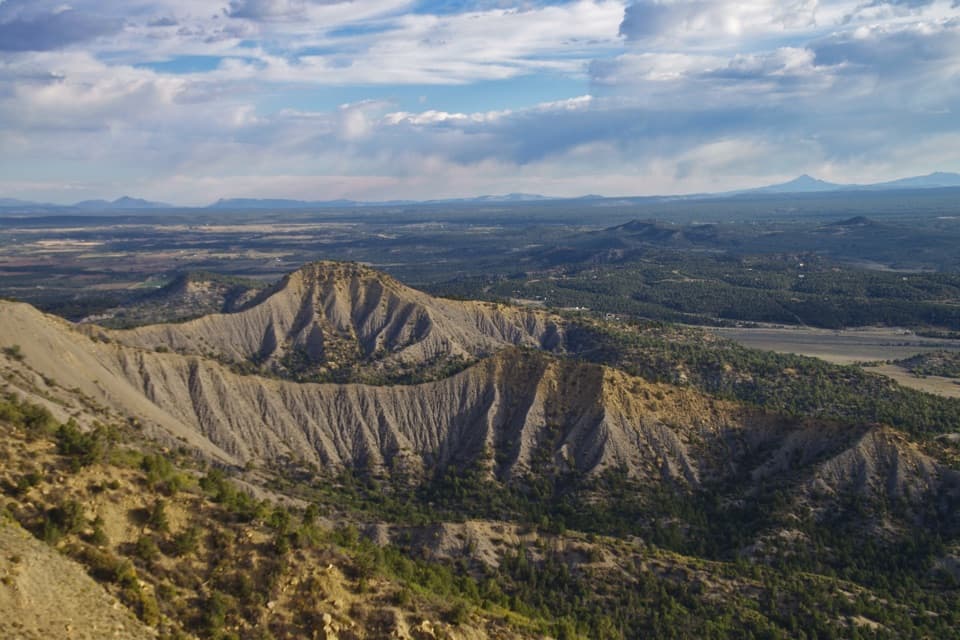 Sight · 0.8 mi awayMancos OverlookA quick roadside panorama across Mancos Valley.Sight · 0.9 mi awayPoint LookoutA 2.2-mile climb earns big valley-and-mountain views.
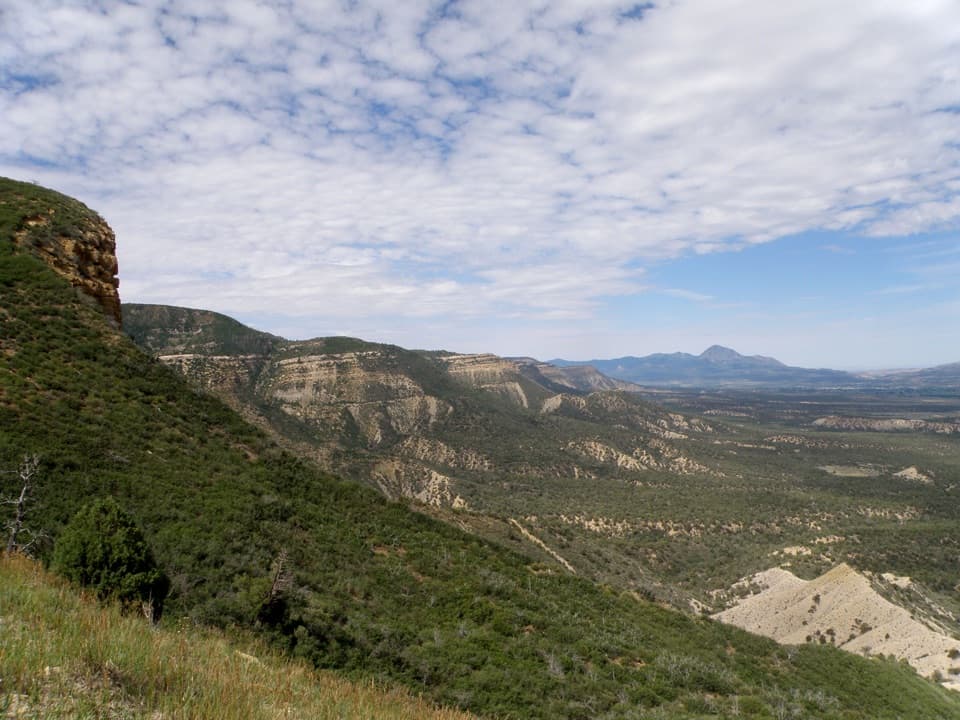 Sight · 1.1 mi awayMontezuma OverlookA broad valley view with a short Knife Edge road story.
Parkwolf’s Mesa Verde ranking

The audio tour guide for the drive, plus offline maps, trails, and wildlife heatmaps for when the signal drops.