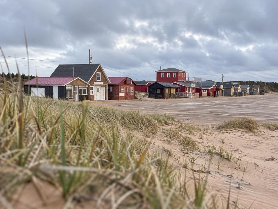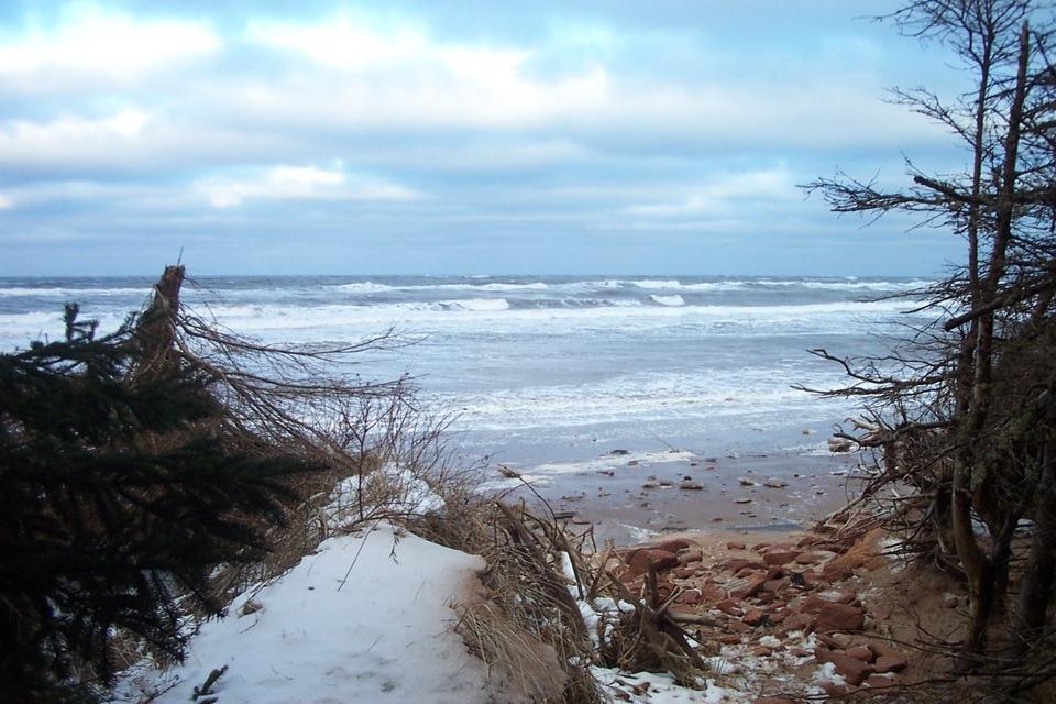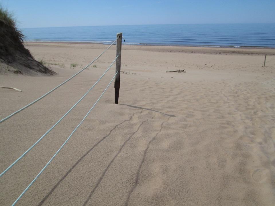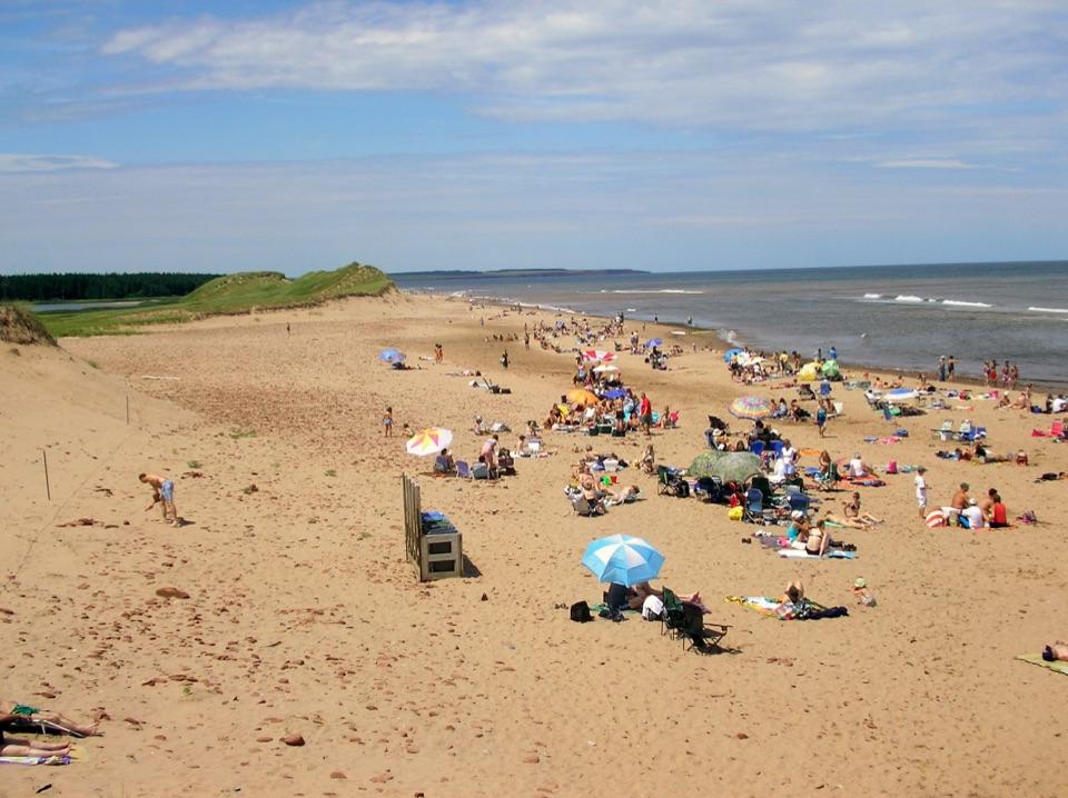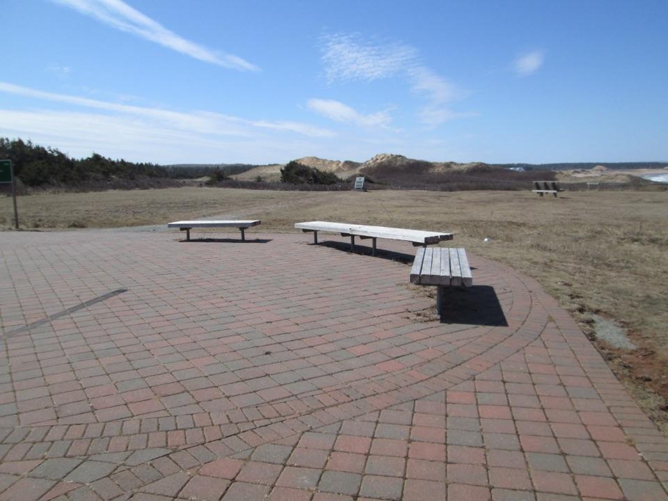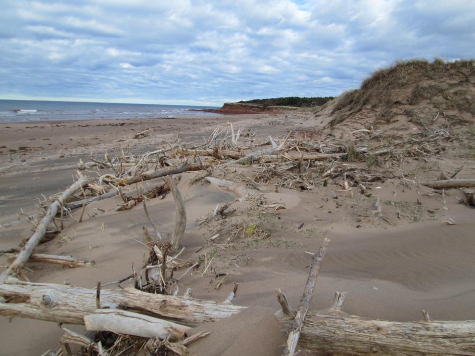
Robinsons Island Beach in Prince Edward Island National Park

Beach · Prince Edward Island National Park

Robinsons Island Beach

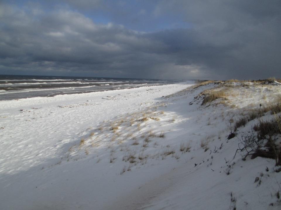
Dune-backed sand and driftwood, earned by a walk or ride

Photo: Larry from Charlottetown, PEI, Canada, CC BY 2.0

Type
Beach
Nearest trail
3.1 km
Audio stories
2 nearby

Hear the audio tour

Robinsons Island Underfoot
Download Parkwolf on the App StoreGet Parkwolf on Google Play

4.7 from 8,600+ ratings

Overview

About Robinsons Island Beach

Why stop

  • Quiet natural shoreline with dunes and open Gulf views
  • Beach access adds a scenic multi-use outing

Heads up

  • A roughly 3.2 km approach each way, plus island exploring
  • No drive-up beach access

Map

Where it is

Loading the Prince Edward Island map
Full map
BeachRobinsons Island Beach46.43592, -63.23772
Keep this map with you offline in the Parkwolf app

Plan your stop

Before you go

Getting there

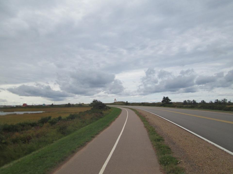
Park at the Brackley Beach Complex, 4020 Brackley Point Road, and follow the flat, hard-packed gravel multi-use route along the causeway. Cars cannot drive onto the island. The island’s 5 km trail system is a separate set of loops, with beach access points and lookouts; you do not have to complete the whole loop to reach the shore. The main trail is easy, with optional technical features for mountain bikes.

3 active Prince Edward Island alerts

  • ClosureRoss Lane Beach coastal access closedRoss Lane Beach coastal access is closed from October 19, 2026, through spring 2027 for roadway, parking-area, and dune-crossing infrastructure work. - Use Stanhope Main Beach for beach access.Official details
  • ClosureCavendish Grove and campground road workCavendish Grove’s parking lot and parts of its trail network are closed through spring 2027 for infrastructure work; the Cavendish Campground perimeter road is being resurfaced through approximately…Official details
See all 3 alerts
A park ranger sits on a dash-mounted phone, talking, as Parkwolf’s Tour Guide plays “Army Cutworm Moths: A Grizzly Bear Buffet” on Grand Loop Road below Dunraven Pass in Yellowstone
Parkwolf Tour GuideThe highest, rockiest slopes around here are a summer buffet for grizzly bears.

Prince Edward Island Tour Guide

Your drive to Robinsons Island Beach, narrated.

Parkwolf is a GPS audio tour guide for Prince Edward Island National Park. As you drive, it chimes in with what’s ahead: hidden gems, upcoming stops, history, geology, and wildlife, right through your car’s speakers.

See the Prince Edward Island audio tour

Recorded for this area

Robinsons Island Underfoot
0:00 / 0:27
“Robinsons Island has a history the beach view alone won't tell you. A shell midden found here was a heap of discarded shells and other material left by people who used this coast.”

Plays on the road 0.5 km from Robinsons Island Beach in the Parkwolf Prince Edward Island Tour Guide.

More stories near here in the app

  • Brackley Beach
  • The Quiet Side of Brackley Bay
  • North Rustico Beach
  • The Crick's Working Harbour
  • 29 audio storiesacross Prince Edward Island’s roads, triggered by GPS as you drive
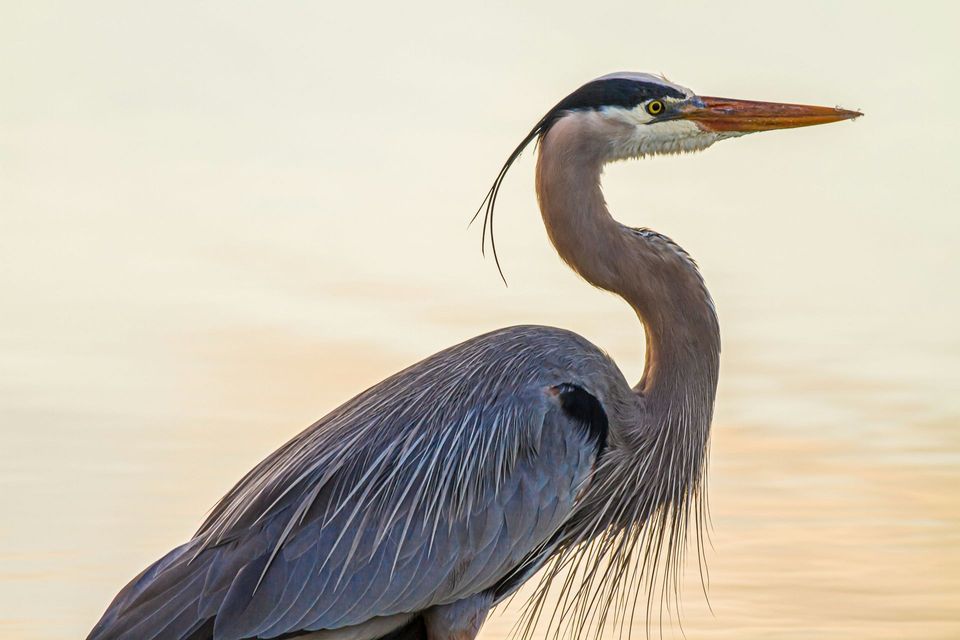
  • Wildlife heatmapsfor Bald Eagle, Osprey, Great Blue Heron, and 12 more
  • Works offlinemaps, 15 trails, 26 places, and audio download before you lose signal
  • CarPlay readysimple controls built for the drive
★★★★★
“Fantastic app with many points of information… It’s great to just turn on while you’re driving and it gives you an audio tour of the national Park. We love it!!!!”
JMJamesApp Store review
Download Parkwolf on the App StoreGet Parkwolf on Google Play

4.7 from 8,600+ ratings

Guide

More about Robinsons Island Beach

A beach you earnRobinsons Island Beach is a quiet, dune-backed stretch of sand on the Gulf shore, reached on…

Robinsons Island Beach is a quiet, dune-backed stretch of sand on the Gulf shore, reached on foot or by bike from Brackley Beach. It is a worthwhile choice for an outing rather than a quick roadside stop: allow roughly 3.2–3.5 km each way to reach the island, plus any exploring you do there.

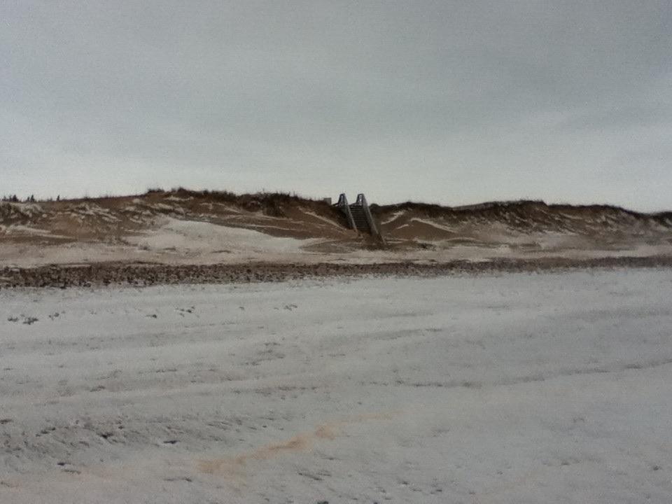
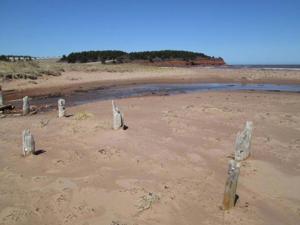
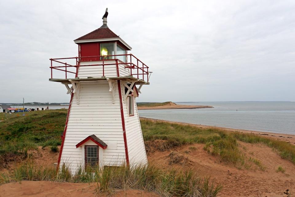
What to look forThe island has sandy shore, dunes and driftwood, with views towards the Gulf and Rustico Bay.

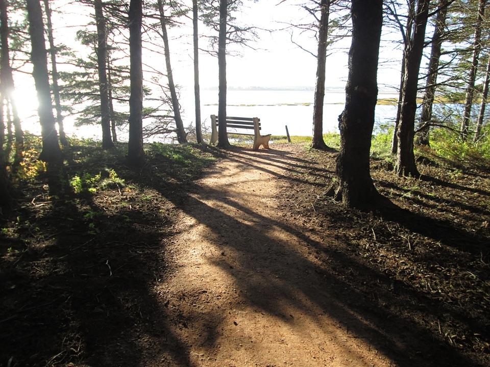
The island has sandy shore, dunes and driftwood, with views towards the Gulf and Rustico Bay. Lookouts and interpretive signs add interest along the trail. A campground once occupied the island; it closed in 2005 and the former campsite has gradually taken on a more natural character.

Plan for the returnTake water for the walk or ride back and use the marked beach access to protect the dunes.

Take water for the walk or ride back and use the marked beach access to protect the dunes. Pets are prohibited on park beaches from April 1 through October 15. Trails and facilities are generally unmaintained between Thanksgiving and Victoria Day, and emergency services are limited in the off season.

Wildlife

Wildlife in Prince Edward Island

All Prince Edward Island wildlife maps

Sighting maps show where each species has been reported across Prince Edward Island. Wildlife moves, so no sighting is guaranteed.

Parkwolf’s Prince Edward Island ranking

Top sights in Prince Edward Island

All 26 places
  1. 1Green Gables Heritage PlaceSight
  2. 2Greenwich BeachBeach
  3. 3Cavendish BeachBeach
  4. 4Covehead LighthouseSight
  5. 5Oceanview LookoffSight
  6. 6Brackley BeachBeach

Take Parkwolf to Prince Edward Island.

The audio tour guide for the drive, plus offline maps, trails, and wildlife heatmaps for when the signal drops.

4.7 from 8,600+ ratings

Download Parkwolf on the App StoreGet Parkwolf on Google Play