Robinsons Island Trail System in Prince Edward Island National Park

#7 of 15 trails in Prince Edward Island

Prince Edward Island National Park, PE

Robinsons Island Trail System

Flat coastal loops to red chairs, bay views, and optional bike features

Length
11.6km
Time
3.8hr
Elev. change
15m
Difficulty
Moderate
  • Loop
  • Dogs allowed
  • High point 15 m

Hear the audio tour

Brackley Beach

Overview

About Robinsons Island Trail System

Why go

  • Flat coastal walking with Gulf, bay, and marsh views
  • Red-chair lookout and interpretive signs add memorable stops
  • Optional bike features keep the system interesting for mixed groups

Heads up

  • The full outing is long because the causeway approach is mandatory
  • Shared use and bike spurs make the main path less quiet

Map & elevation

The route

Loading the Prince Edward Island map
Full map
Elevation0–15 m
TrailheadBrackley Beach Complex46.42947, -63.19801
Keep this map with you offline in the Parkwolf app

Plan your hike

Before you go

Parking

Start at the Brackley Beach Complex, 4020 Brackley Point Road. Park there and follow the multi-use causeway on foot or by bike toward Robinsons Island; the island loop begins after that approach. Washrooms are reported at Brackley Beach, not on the island.

Safety

The full route is a long, flat outing rather than a short island loop. Watch for cyclists and optional technical spurs on the shared trail, and do not count on food or potable water along the route. Dogs must stay on a leash no longer than three metres; dogs are prohibited on park beaches from April 1 through October 15.

3 active Prince Edward Island alerts

  • ClosureOceanview cliff area closed beyond signs and fencingStay out of all unmown areas beyond the signs or fencing at Oceanview (46.49951N 63.38272W), including the rocks and cliff edges.Official details
  • ClosureHomestead trails closed because bridges are outDo not use Homestead Long Loop or Homestead Trail Short loop: both trails are closed because bridges are out. - Respect all posted warnings, closures, notices and signs while using other park trails.Official details
See all 3 alerts
A park ranger sits on a dash-mounted phone, talking, as Parkwolf’s Tour Guide plays “Army Cutworm Moths: A Grizzly Bear Buffet” on Grand Loop Road below Dunraven Pass in Yellowstone
Parkwolf Tour GuideThe highest, rockiest slopes around here are a summer buffet for grizzly bears.

Prince Edward Island Tour Guide

Your drive to Robinsons Island Trail System, narrated.

Parkwolf is a GPS audio tour guide for Prince Edward Island National Park. As you drive, it chimes in with what’s ahead: hidden gems, upcoming stops, history, geology, and wildlife, right through your car’s speakers.

Recorded for this trailhead

Brackley Beach
0:00 / 0:32
“You're coming up on Brackley Beach, a broad white-sand beach with a seasonal canteen, picnic space, and outdoor showers at the complex.”

Plays as you drive up to this trailhead in the Parkwolf Prince Edward Island Tour Guide.

More stories near here in the app

  • The Quiet Side of Brackley Bay
  • Robinsons Island Underfoot
  • Covehead Lighthouse and Harbour
  • Stanhope Cape Beach
  • 29 audio storiesacross Prince Edward Island’s roads, triggered by GPS as you drive
  • Wildlife heatmapsfor Bald Eagle, Osprey, Great Blue Heron, and 12 more
  • Works offlinemaps, 15 trails, 25 places, and audio download before you lose signal
  • CarPlay readysimple controls built for the drive
★★★★★
“Fantastic app with many points of information… It’s great to just turn on while you’re driving and it gives you an audio tour of the national Park. We love it!!!!”
JMJamesApp Store review
Download Parkwolf on the App StoreGet Parkwolf on Google Play

4.7 from 8,600+ ratings

Trail guide

Hiking Robinsons Island Trail System

Start with the real commitmentRobinsons Island Trail System is a roughly 7.

Robinsons Island Trail System is a roughly 7.2-mile round trip from Brackley Beach Complex: the 3.2-kilometre causeway approach each way, plus the 5-kilometre stacked-loop system on Robinsons Island. That distinction matters. The island trails are the attraction, but you reach them by walking or cycling from the complex, so this is a half-day outing rather than a quick loop beside the car. Allow about three and a half to four and a half hours on foot with stops. Cyclists will move faster, but the route is shared and the bike features are optional.

This is a good pick if you want a flat coastal route with water views, a little island history, and enough variety to keep a long walk from feeling repetitive. The shorter stacked loop is the sensible choice if you want the island without committing to every extra turn.

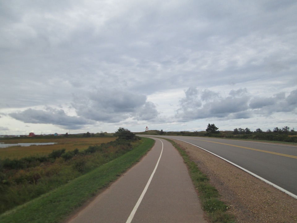
The walk out, then the islandThe approach leaves the Brackley Beach Complex on flat, hard-packed gravel.

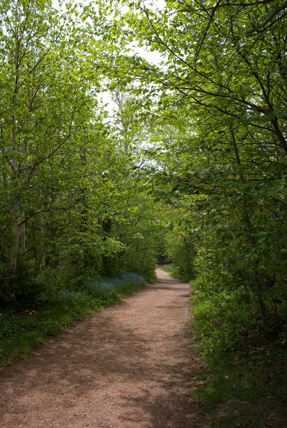
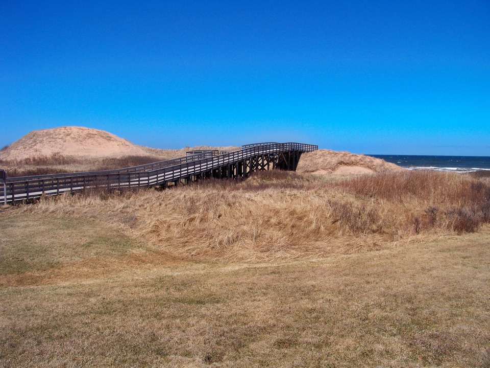
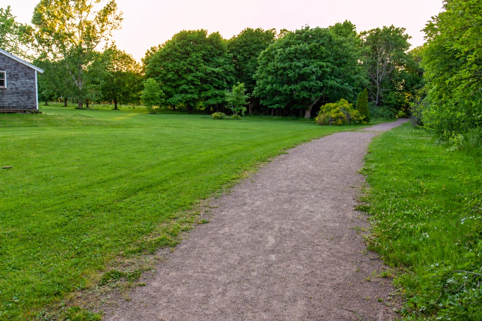
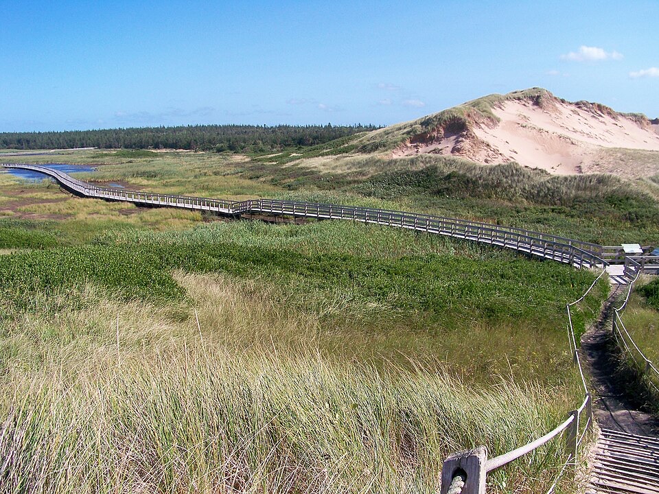
The approach leaves the Brackley Beach Complex on flat, hard-packed gravel. It runs along the causeway toward the island, with the water close by and no meaningful climbing. Once you reach the trail system, the surface changes to rolled stone dust or crushed rock. It stays very flat but bends constantly, so the route feels more like a managed multi-use trail than a straight beach walk.

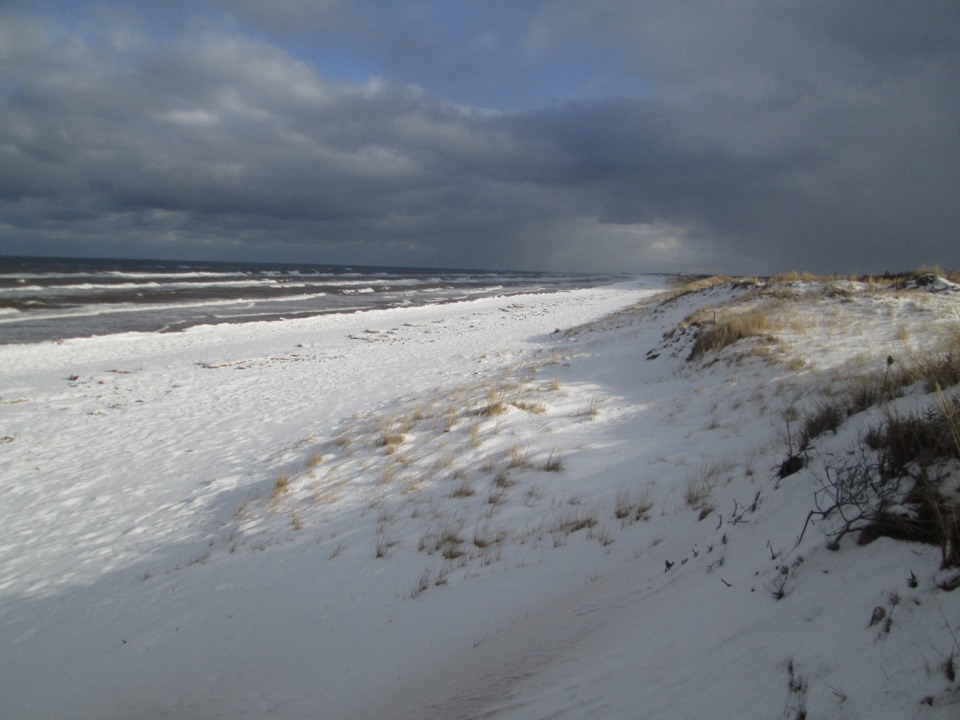
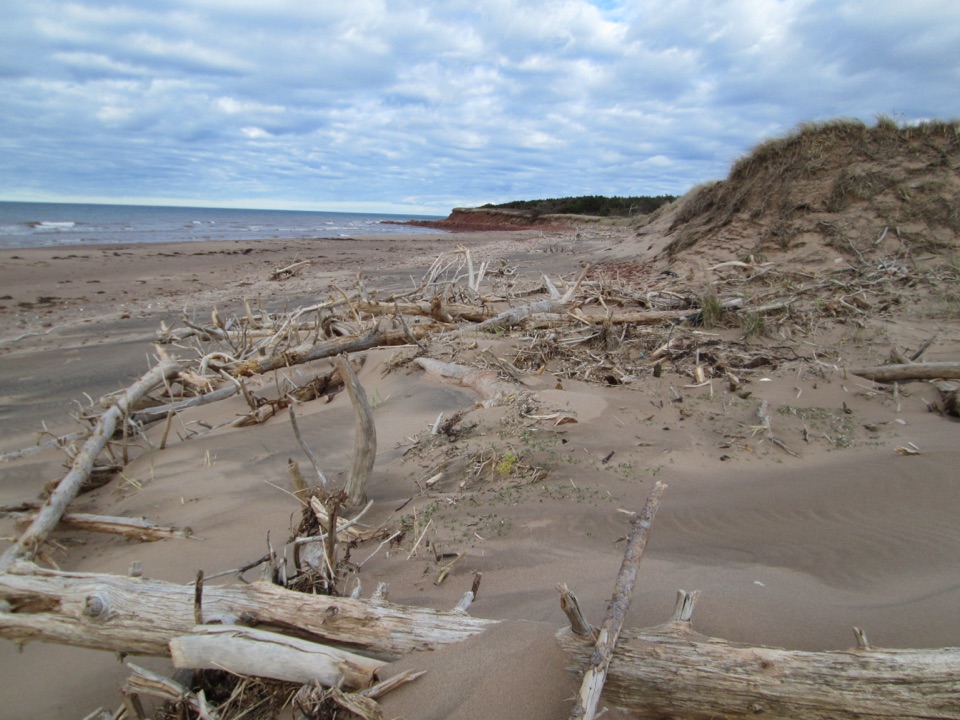
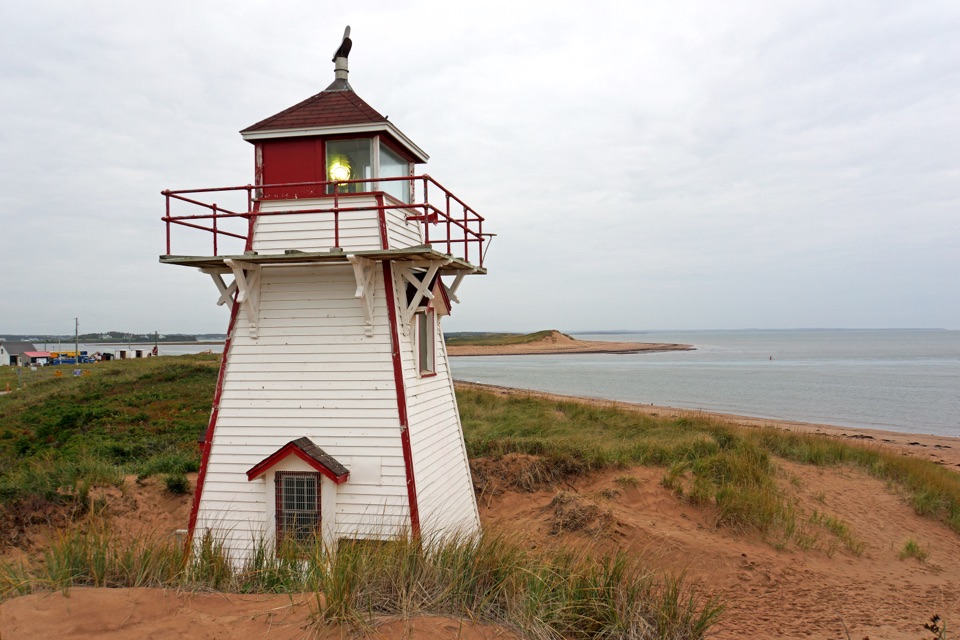
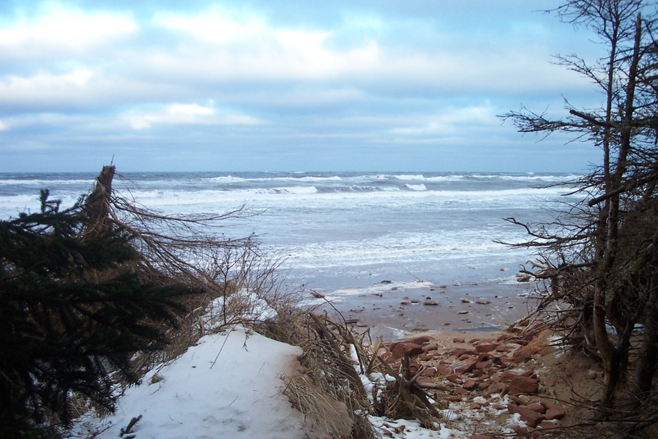
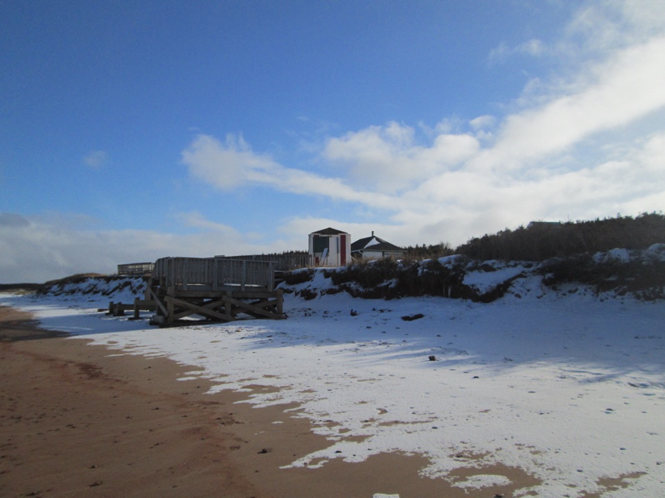
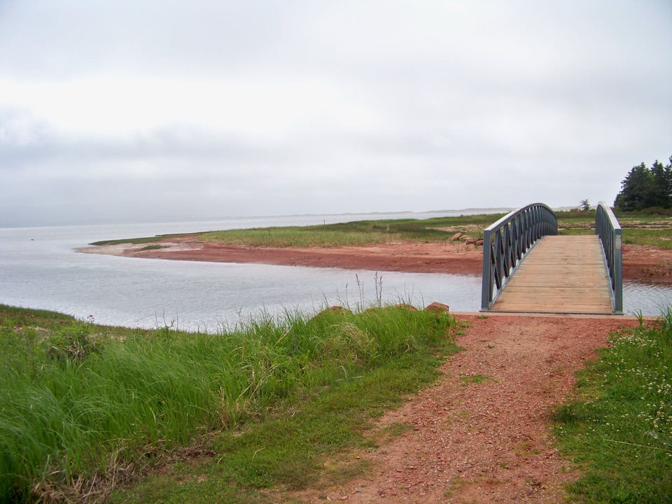
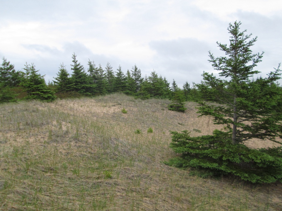
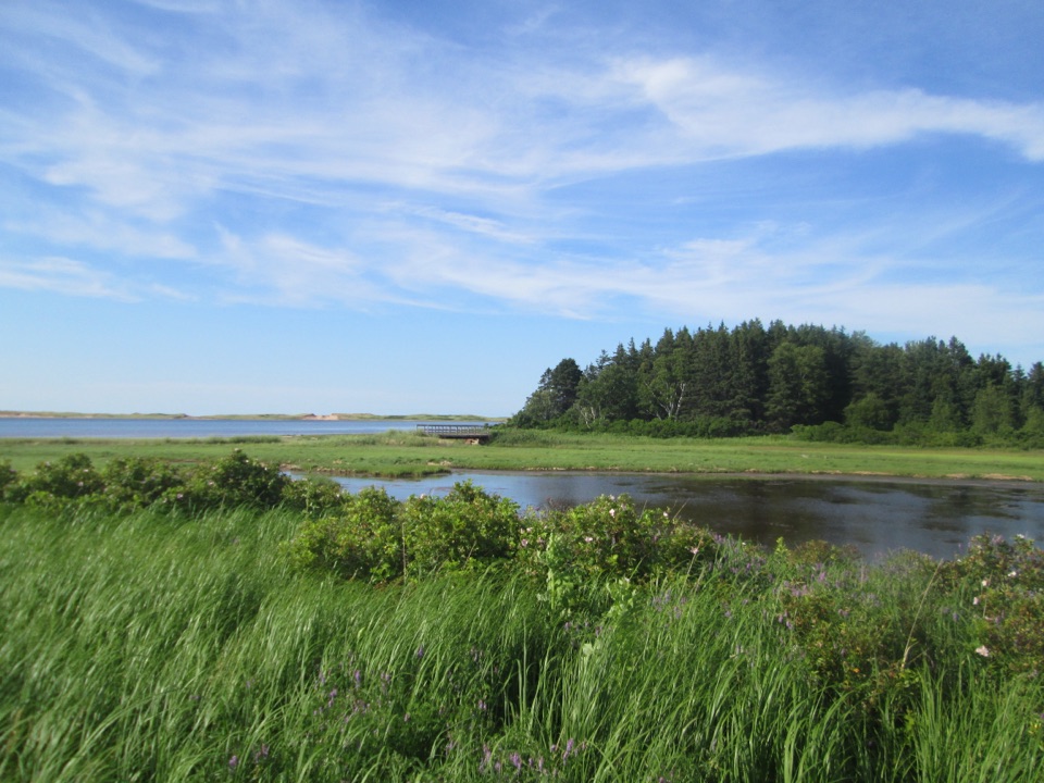
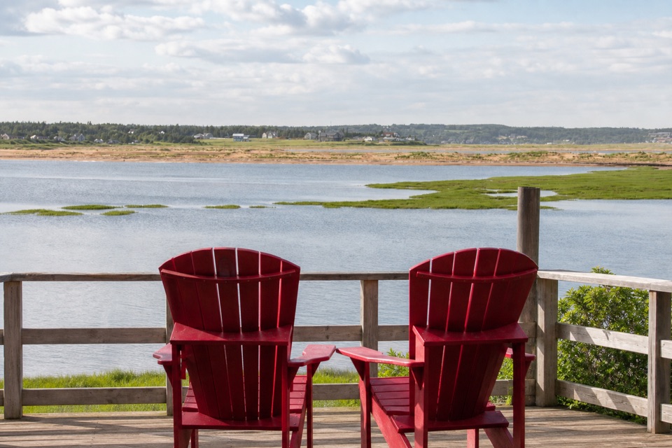
Walkers are commonly advised to go counter-clockwise, while cyclists use the other direction. On the Gulf side, lookouts and benches open the route toward the Gulf of St. Lawrence. Through the centre, the trail reaches two red Adirondack chairs above Rustico Bay. Beyond the chairs are the bay, a low sand-dune point and North Rustico Harbour in the distance. Later sections move between fields and forest, with more lookouts, beach-access points and pockets of wild roses. Interpretive signs explain the island's ecology and human history.

The signed technical features—ramps, teeter-totters and other small bike challenges—branch away from the main path. Hikers can ignore those spurs. For the best trail-specific photo, use the red chairs as the foreground and keep the bay and opposite shore in the frame; that gives the view a sense of place instead of turning it into a generic water shot.

What makes it more than a flat loopThe route's effort comes from the distance and the access logistics, not sustained climbing.

The route's effort comes from the distance and the access logistics, not sustained climbing. Parks Canada rates the system Moderate, while cycling and hiking sources describe the rolled-stone trail as easy or family-friendly. Both descriptions can be true: the island paths are gentle, but the full walk from the complex is long enough to plan around. The coastal lookouts and beach accesses add interest, but they also make it easy to keep extending the outing.

Robinsons Island was once a campground, which closed in 2005. The trail system opened in 2015 after a collaboration involving Parks Canada, Cycling PEI and the International Mountain Bike Association. Interpretive material also connects the island with the Mi'kmaq name Tapu-tuitn, “two narrows,” and a much older pattern of use. Treat that history as part of what you notice along the route, not a reason to rush past the views.

Making it workStart at the Brackley Beach Complex, 4020 Brackley Point Road.

Start at the Brackley Beach Complex, 4020 Brackley Point Road. Park there and follow the multi-use causeway toward Robinsons Island; the route stored here includes that access so the distance matches the outing you actually need to make. Washrooms are reported at Brackley Beach rather than on the island. The consulted trail sources did not identify food or potable water along the route, so do not count on an island refill.

Dogs are allowed on park trails when kept on a leash no longer than three metres, but they are prohibited on park beaches from April 1 through October 15. If you want only the island section, choose the shorter stacked loop and turn back once the views have delivered what you came for. If you walk the full version, leave enough time for the return causeway rather than treating the island loop as the finish.

Wildlife

Wildlife in Prince Edward Island

All Prince Edward Island wildlife maps

Sighting maps show where each species has been reported across Prince Edward Island. Wildlife moves, so no sighting is guaranteed.

Keep exploring

Near Robinsons Island Trail System

See it all on the map

Trails that start nearby

Places near the trailhead

Parkwolf’s Prince Edward Island ranking

Top-rated trails in Prince Edward Island

All 15 trails
  1. 1Greenwich Dunes TrailModerate · 4.6 km
  2. 2Cavendish DunelandsEasy · 2.4 km
  3. 3Homestead Trail - Simpson LoopModerate · 6 km
  4. 4Tlaqatik TrailEasy · 4.6 km
  5. 5Haunted Wood TrailEasy · 0.9 km
  6. 6Homestead Trail - MacNeill LoopModerate · 10 km

Take Parkwolf to Prince Edward Island.

The audio tour guide for the drive, plus offline maps, trails, and wildlife heatmaps for when the signal drops.

4.7 from 8,600+ ratings

Download Parkwolf on the App StoreGet Parkwolf on Google Play