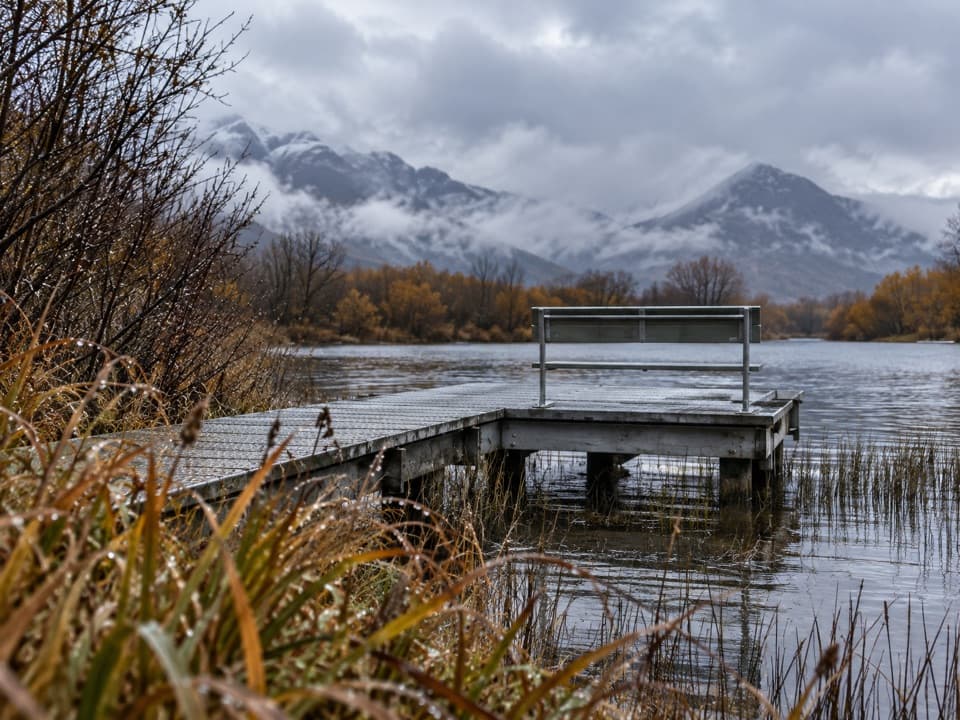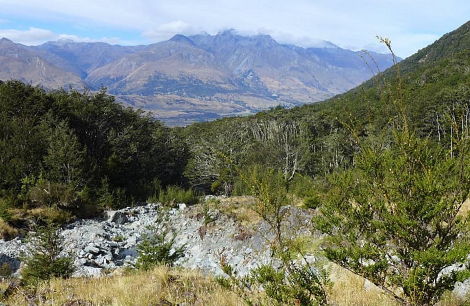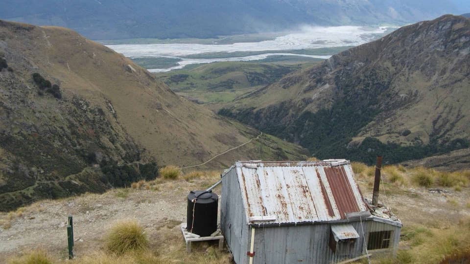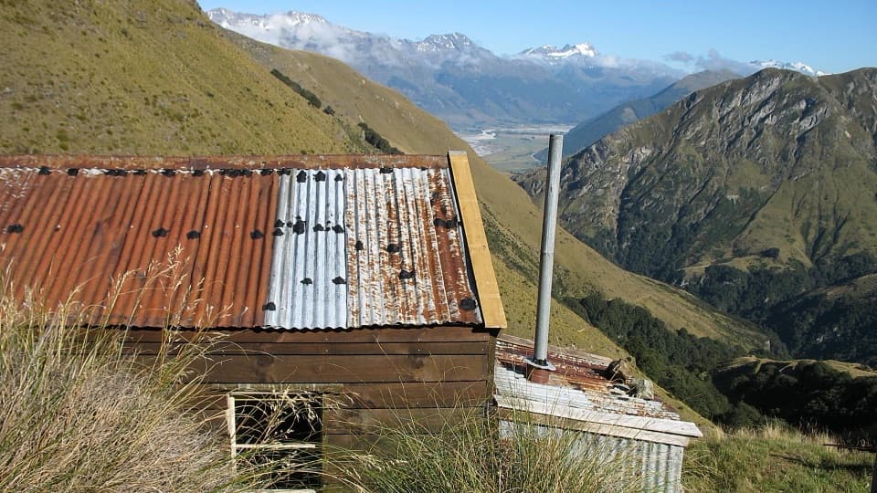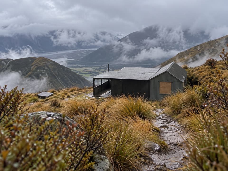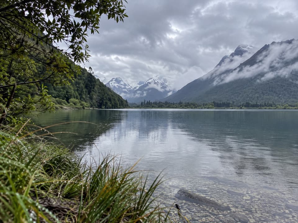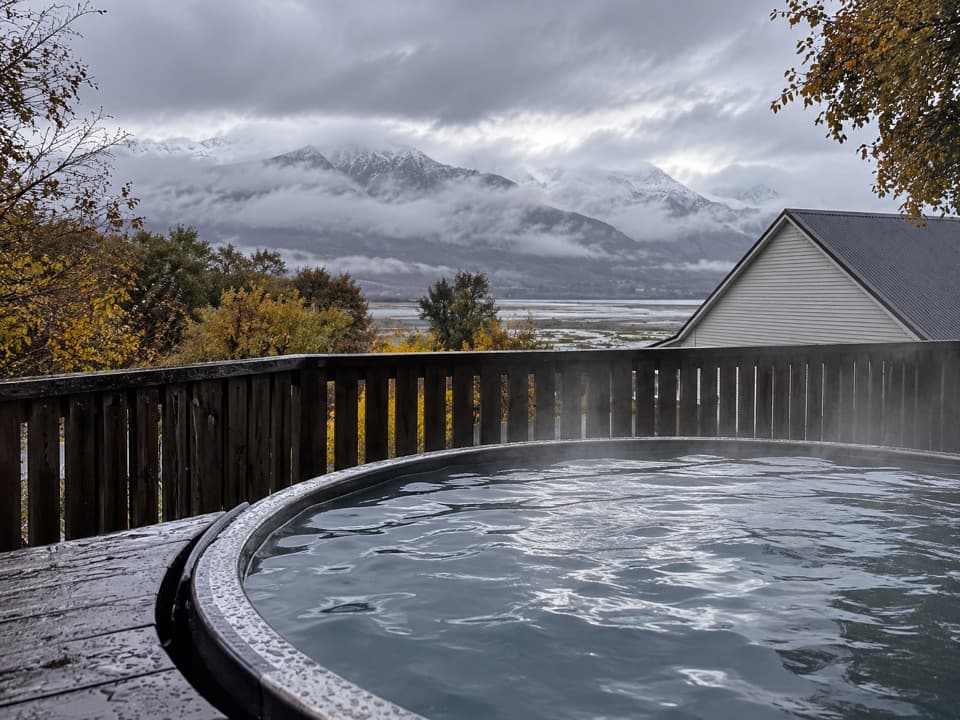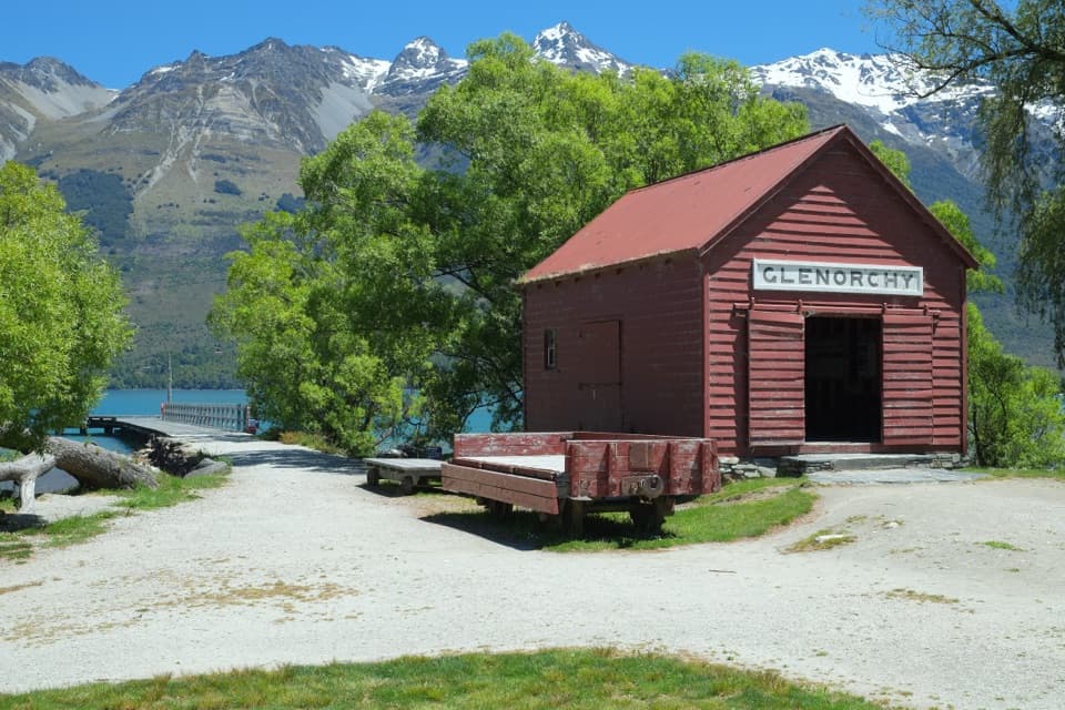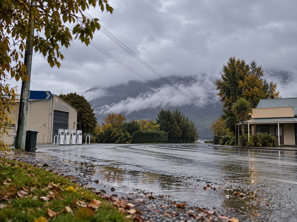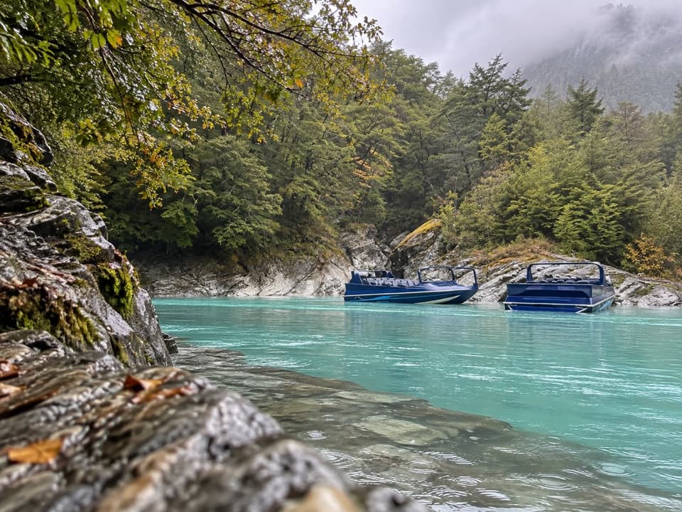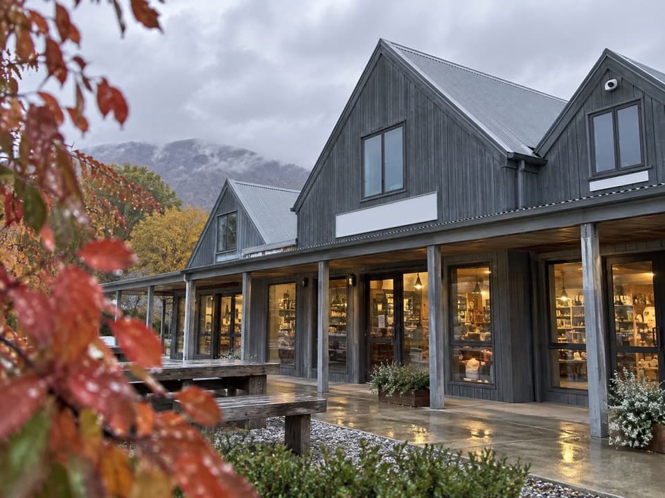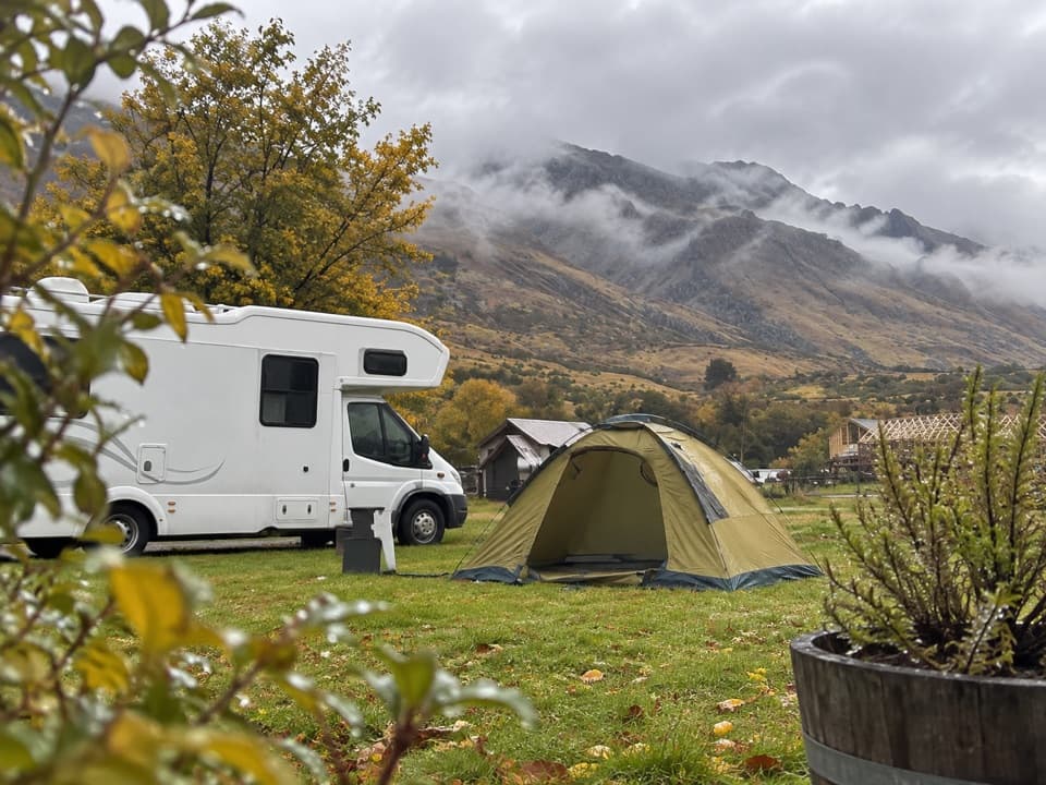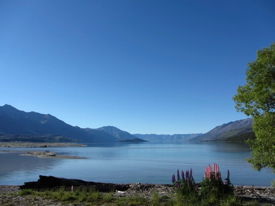
Kinloch Campsite in Queenstown-Lakes District, New Zealand

Campground · Queenstown-Lakes District, New Zealand

Kinloch Campsite

Remote lakeside camping, with a gravel approach that can flood.

Photo: Akos Kokai, CC BY 2.0, via Wikimedia Commons

Type
Campground
Nearest trail
2.7 km
Audio stories
6 nearby
  • Restrooms

Hear the audio tour

Kinloch Shore and Wilderness Retreat
Download Parkwolf on the App StoreGet Parkwolf on Google Play

4.7 from 8,600+ ratings

Overview

About Kinloch Campsite

Why stop

  • A lakeside base for the Greenstone and Caples tramping tracks.
  • Open views toward the Dart and Rees valleys.

Heads up

  • The gravel approach can flood and cut access in heavy rain.
  • Basic long-drop toilets have drawn repeated odor complaints.

Map

Where it is

Loading the Queenstown-Lakes District map
Full map
CampgroundKinloch Campsite-44.84372, 168.34999
Keep this map with you offline in the Parkwolf app

Plan your stop

Before you go

Water and facilities

Facilities are basic, with a long-drop toilet. Boil water before drinking. The Dart River meets the lake nearby; strong currents at the junction and very cold water make swimming challenging. Visitors praise the setting, but some report daytime jet-boat or helicopter noise and odor around the toilets.


3 active Queenstown-Lakes District alerts

  • CautionRob Roy Track: stop at lower lookout during avalanche seasonFrom May to November, end your Rob Roy Track hike at the lower lookout: DOC strongly recommends this because the upper section crosses active avalanche paths.Official details
  • ClosureSkippers Bridge closed to all usersSkippers Bridge is closed to all vehicles, cyclists and pedestrians; stay off the bridge and obey closure signs and barriers.Official details
See all 3 alerts
A park ranger sits on a dash-mounted phone, talking, as Parkwolf’s Tour Guide plays “Army Cutworm Moths: A Grizzly Bear Buffet” on Grand Loop Road below Dunraven Pass in Yellowstone
Parkwolf Tour GuideThe highest, rockiest slopes around here are a summer buffet for grizzly bears.

Queenstown-Lakes District Tour Guide

Your drive to Kinloch Campsite, narrated.

Parkwolf is a GPS audio tour guide for Queenstown-Lakes District, New Zealand. As you drive, it chimes in with what’s ahead: hidden gems, upcoming stops, history, geology, and wildlife, right through your car’s speakers.

See the Queenstown-Lakes District audio tour

Recorded for this place

Kinloch Shore and Wilderness Retreat
0:00 / 0:33
“You're nearing Kinloch, where the public campsite sits beside Lake Wakatipu, opposite Kinloch Wilderness Retreat. Stop for the lake-and-mountain setting, or arrange a meal at the retreat.”

Plays as you drive up to Kinloch Campsite in the Parkwolf Queenstown-Lakes District Tour Guide.

More stories near here in the app

  • Glenorchy Wharf and Lagoon
  • The Layers Beneath the Waves
  • Glacier Burn Track
  • Dart River Adventures in Glenorchy
  • 298 audio storiesacross Queenstown-Lakes District’s roads, triggered by GPS as you drive
  • Wildlife heatmapsfor Kea, Kākā, Kererū, and 13 more
  • Works offlinemaps, 155 trails, 129 places, and audio download before you lose signal
  • CarPlay readysimple controls built for the drive
★★★★★
“Fantastic app with many points of information… It’s great to just turn on while you’re driving and it gives you an audio tour of the national Park. We love it!!!!”
JMJamesApp Store review
Download Parkwolf on the App StoreGet Parkwolf on Google Play

4.7 from 8,600+ ratings

Guide

More about Kinloch Campsite

Camp beside the head of WakatipuKinloch Campsite is a DOC campground on the shore of Lake Wakatipu, 27 km from Glenorchy,…

Kinloch Campsite is a DOC campground on the shore of Lake Wakatipu, 27 km from Glenorchy, opposite Kinloch Lodge. It is a simple lakeside stop and a base for walking the Greenstone and Caples tramping tracks. Lake Wakatipu is New Zealand's longest lake; the sheltered bay looks toward Pigeon, Pig and Tree Islands and up the Rees and Dart valleys.

The drive is part of the commitmentFrom Glenorchy, follow Glenorchy-Paradise Road, Priory Road, Glenorchy-Routeburn Road, then…

From Glenorchy, follow Glenorchy-Paradise Road, Priory Road, Glenorchy-Routeburn Road, then Kinloch Road. The approach is gravel from the Dart River bridge. Heavy rain can flood the road and campsite and cut off access, so check conditions before setting out. Mobile coverage is patchy; book and pay online while you still have service. For safety, choose a pitch away from trees.

Kinloch's earlier roleThe lodge across the road began as a tavern in 1868, serving nearby sawmill workers.

The lodge across the road began as a tavern in 1868, serving nearby sawmill workers. By the 1880s, its visitors were coming mainly for the Routeburn Valley, and Kinloch also served as a staging point for travelers heading toward Martins Bay on the West Coast. The Glenorchy-Queenstown road opened in 1962; a bridge over the Dart connected Kinloch by road in 1974.

Wildlife

Wildlife in Queenstown-Lakes District

All Queenstown-Lakes District wildlife maps

Sighting maps show where each species has been reported across Queenstown-Lakes District. Wildlife moves, so no sighting is guaranteed.

Parkwolf’s Queenstown-Lakes District ranking

Top sights in Queenstown-Lakes District

All 129 places
  1. 1Skyline QueenstownSight
  2. 2TSS EarnslawSight
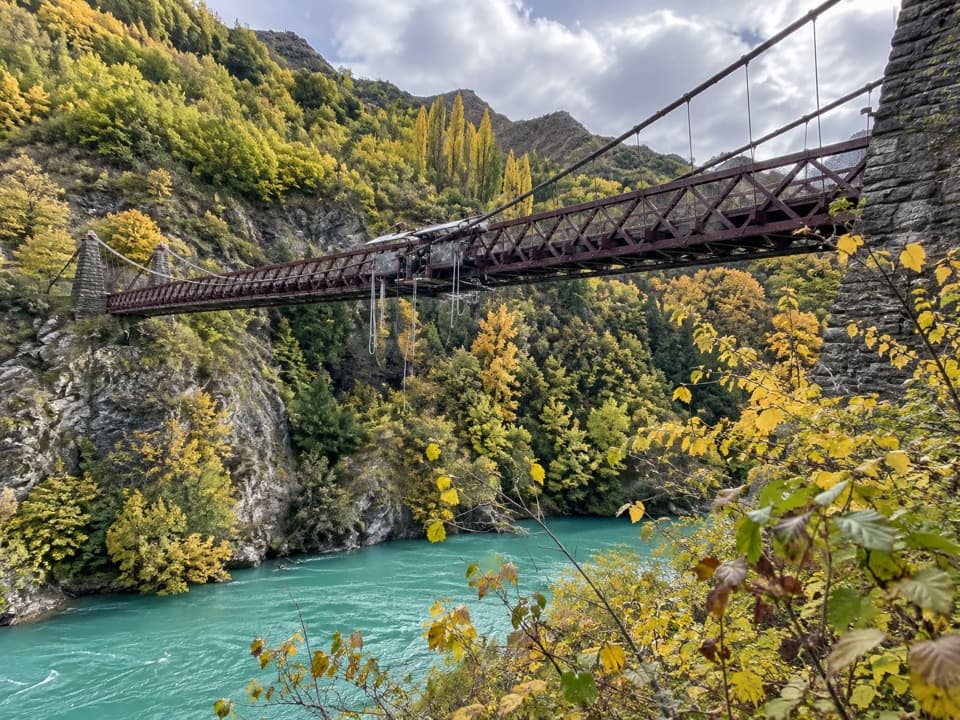
  3. 3Kawarau Bridge and Bungy CentreSight
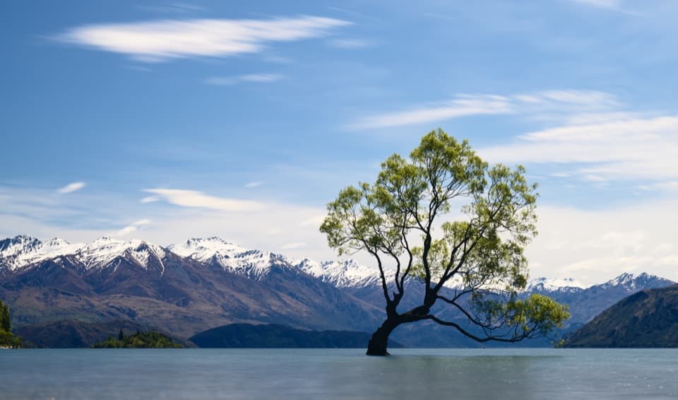
  4. 4That Wānaka TreeSight
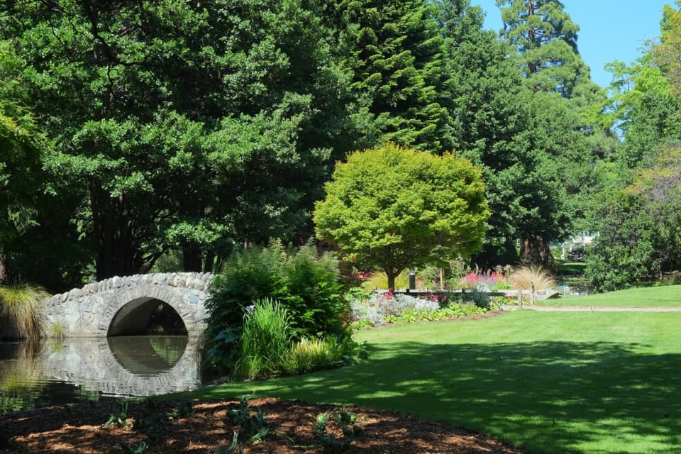
  5. 5Queenstown GardensSight
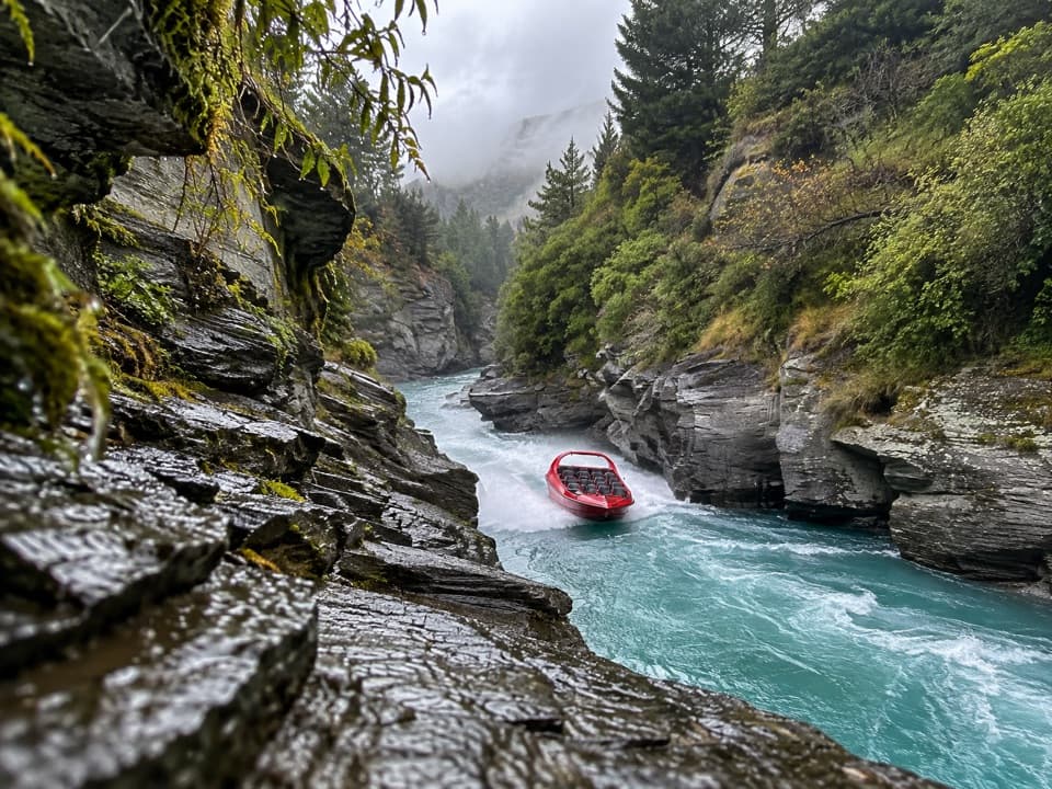
  6. 6Shotover JetSight

Take Parkwolf to Queenstown-Lakes District.

The audio tour guide for the drive, plus offline maps, trails, and wildlife heatmaps for when the signal drops.

4.7 from 8,600+ ratings

Download Parkwolf on the App StoreGet Parkwolf on Google Play