Parking
Use the Diamond Creek Walk Car Park on Priory Road, reached from Glenorchy–Routeburn Road about 15 minutes from Glenorchy. Parking capacity, fees and facilities were not found.
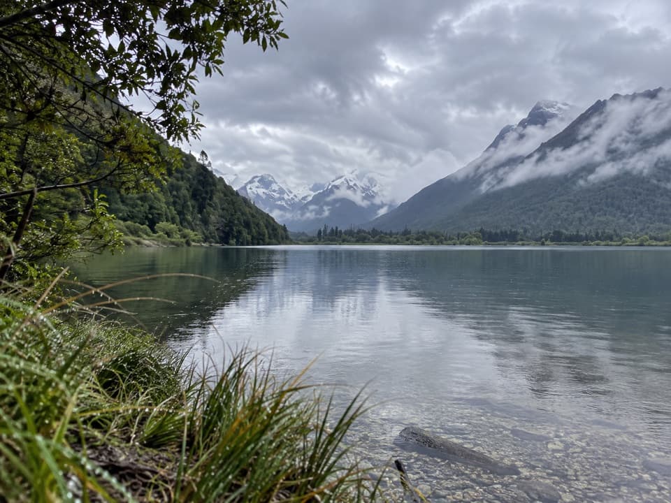
Queenstown-Lakes District, New Zealand, OT
A boggy creek walk ends with birdlife and broad valley views.
Overview
Map & elevation
Plan your hike

The highest, rockiest slopes around here are a summer buffet for grizzly bears.
Queenstown-Lakes District Tour Guide
Parkwolf is a GPS audio tour guide for Queenstown-Lakes District, New Zealand. As you drive, it chimes in with what’s ahead: hidden gems, upcoming stops, history, geology, and wildlife, right through your car’s speakers.
See the Queenstown-Lakes District audio tourRecorded for this trailhead
Diamond Creek Walk“You're coming up on the Diamond Creek Walk, a creekside route to Lake Reid with views toward Paradise and the Dart Valley. Allow about an hour and a half return, retracing the same path.”
Plays as you drive up to this trailhead in the Parkwolf Queenstown-Lakes District Tour Guide.
More stories near here in the app
“Fantastic app with many points of information… It’s great to just turn on while you’re driving and it gives you an audio tour of the national Park. We love it!!!!”


Trail guide
Diamond Creek Walk is an easy-to-intermediate out-and-back, following the creek to Lake Reid before returning the same way. The mapped path measures about 3.5 km each way, or 7 km return; a published track guide lists 2.7 km one way, so the figures differ. Allow about 1 to 1.5 hours. I’d choose it for a gentle creek-side walk with a lake and mountain views, not for a summit climb.
The track can be boggy. Several creek banks are worn away above deep, fast, turbulent water, so keep children well back from the edge. The grade is easy to intermediate. Dogs are allowed on leash only.
At Lake Reid, look for waterfowl and views toward Paradise and the Dart Valley. Diamond Creek is a popular trout-fishing stream. Near the lake, the creek is calmer; when the water is still, it can reflect the surrounding ranges. Frame the lake with the valley behind it for the walk’s best landscape view.
Wildlife
 194 sightingsKeaMost seen around 5 PMSighting map
 18 sightingsKākāMost seen around 6 PMSighting map
 198 sightingsKererūMost seen around 10 AMSighting map
 53 sightingsWekaMost seen around 6 PMSighting map
 245 sightingsTūīMost seen around 8 AMSighting map
 98 sightingsBellbirdMost seen around 6 AMSighting map
Sighting maps show where each species has been reported across Queenstown-Lakes District. Wildlife moves, so no sighting is guaranteed.
Keep exploring
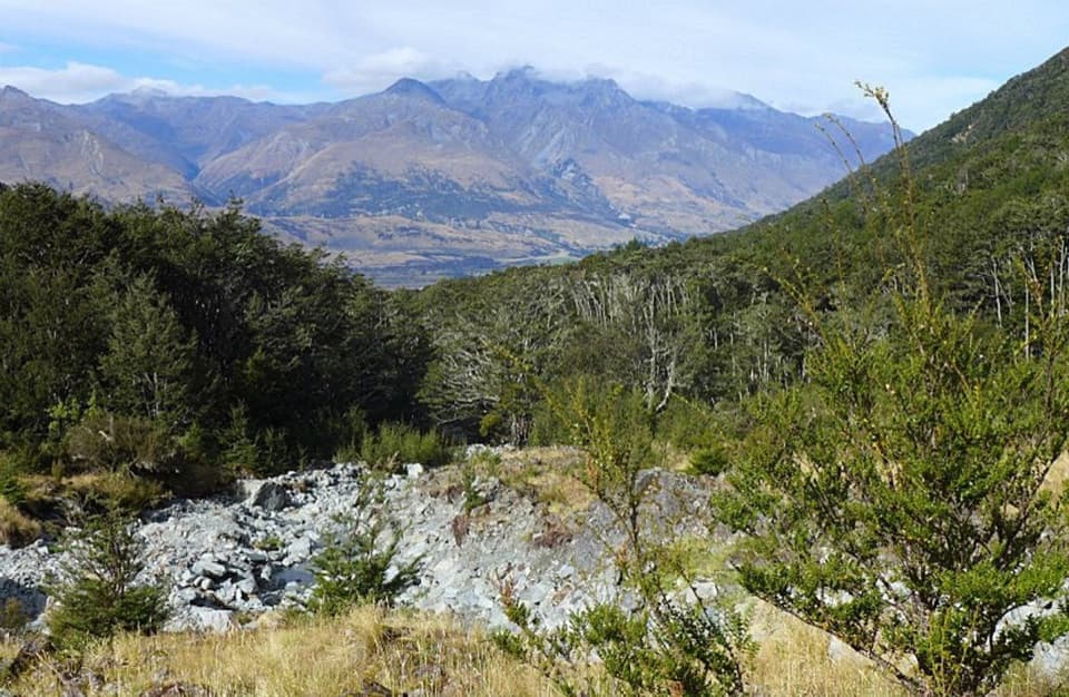 ModerateGlacier Burn Track7.3 km · 4 hr · 4.8 km awayA steep forest climb to Glacier Basin and Humboldt views.
 ChallengingEarnslaw Burn Track16.6 km · 10 hr · 5.4 km awayA hard 10.3-mile return to an icefall beneath Pikirakatahi.
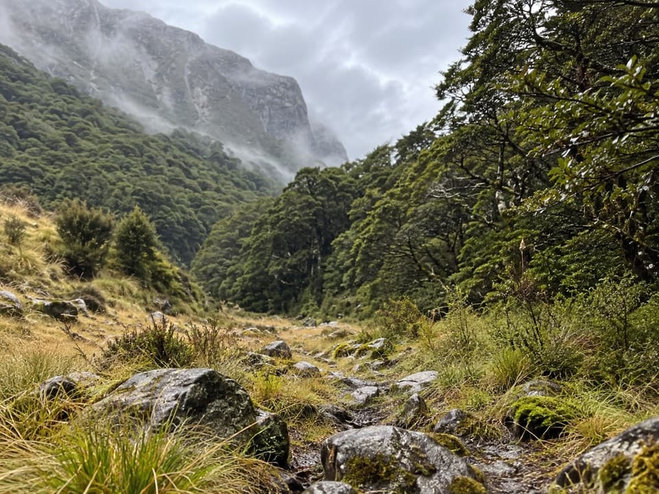 ChallengingScott Creek Track7.3 km · 6 hr · 6.6 km awayA steep, rough climb toward remote Scott Basin.
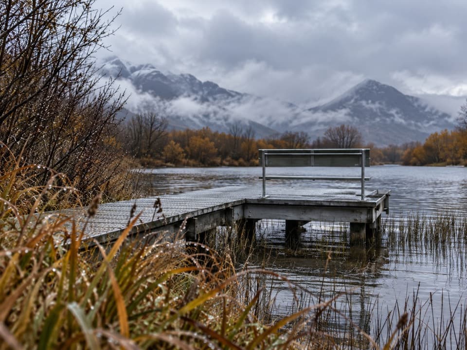 EasyGlenorchy Walkway4.4 km · 1.5 hr · 6.8 km awayAn easy wetland loop with boardwalk crossings and mountain views.
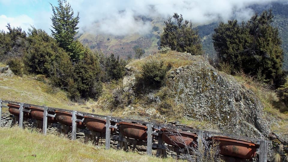 ModerateInvincible Mine Track4.5 km · 3 hr · 8.2 km awayMine machinery and a Rees Valley view reward the steady climb.
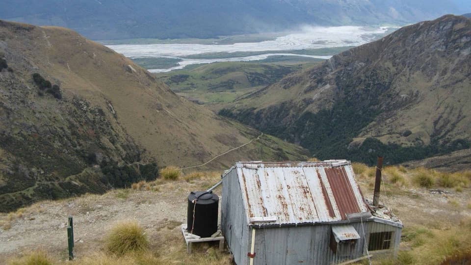 ChallengingJudah and Heather Jock Loop Tracks17 km · 7.5 hr · 8.6 km awayA demanding hut loop through Whakaari’s old mining country.
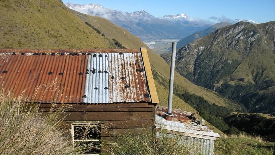 ModerateJudah Track13.4 km · 5 hr · 8.6 km awayA long hut hike along an old mining road through alpine tussock.
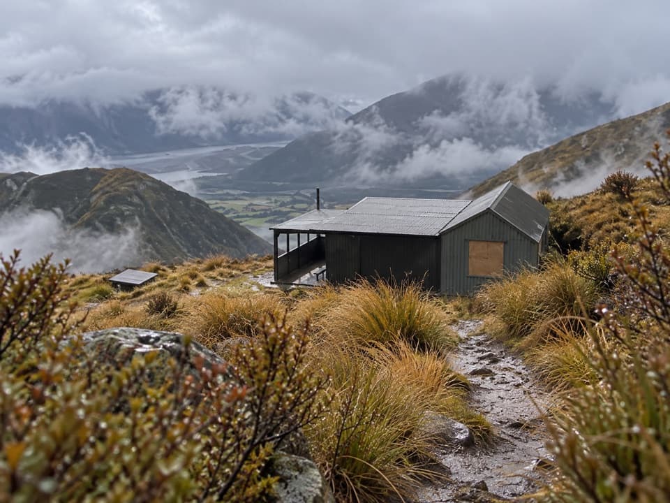 ChallengingMt McIntosh Loop Track18 km · 9 hr · 8.6 km awayA demanding 18 km loop over old mining roads and exposed ridges
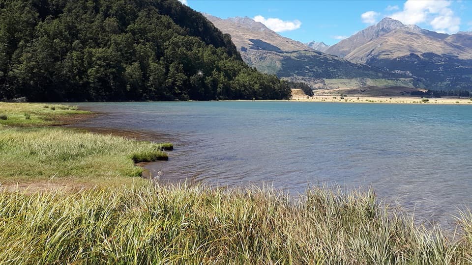 Campground · 6.1 km awayDiamond Lake CampsiteSwim, fish, or kayak beside your overnight stop.
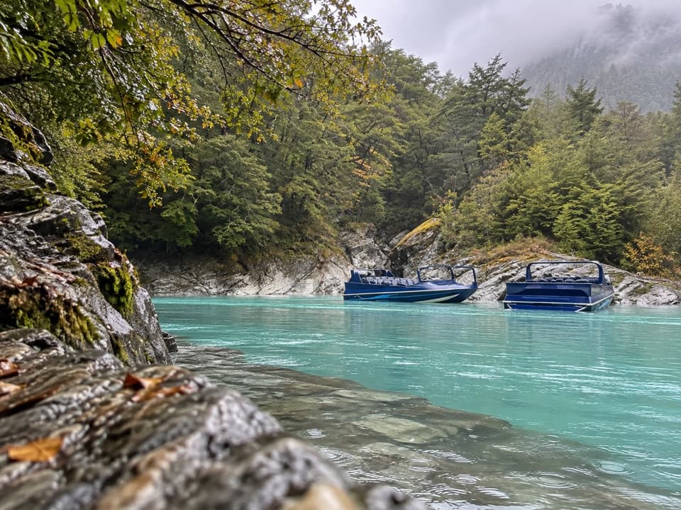 Sight · 7 km awayDart River AdventuresJet-boat to the Dart’s braided channels, then paddle downstream.
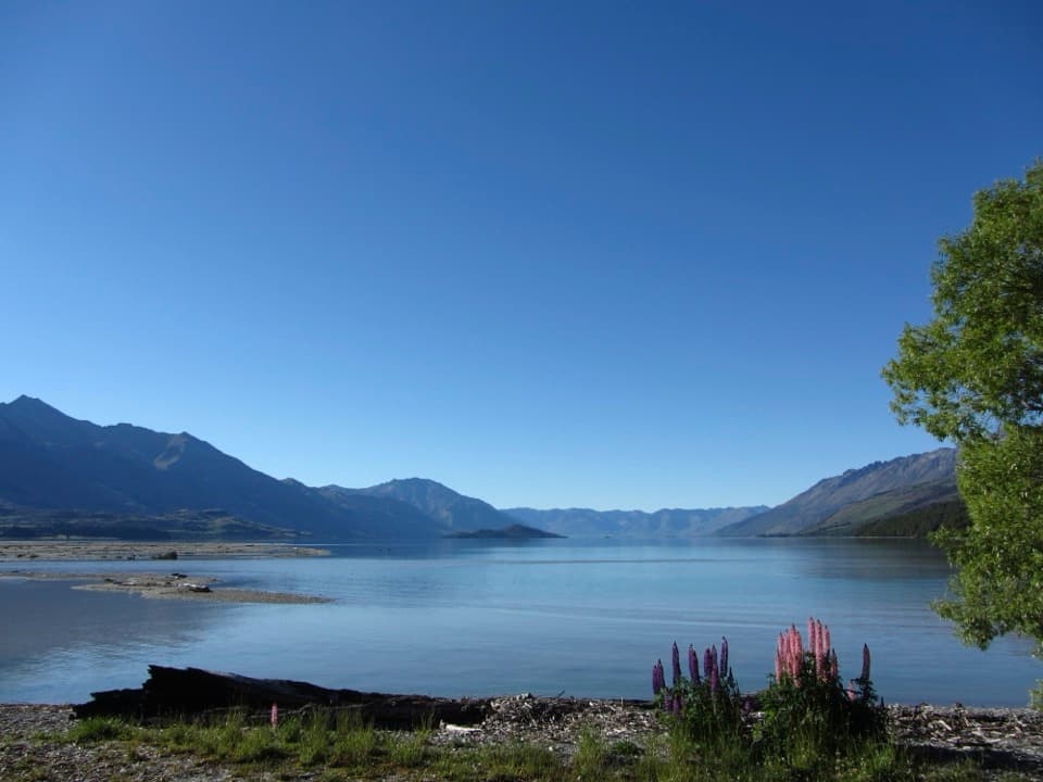 Campground · 7.1 km awayKinloch CampsiteRemote lakeside camping, with a gravel approach that can flood.
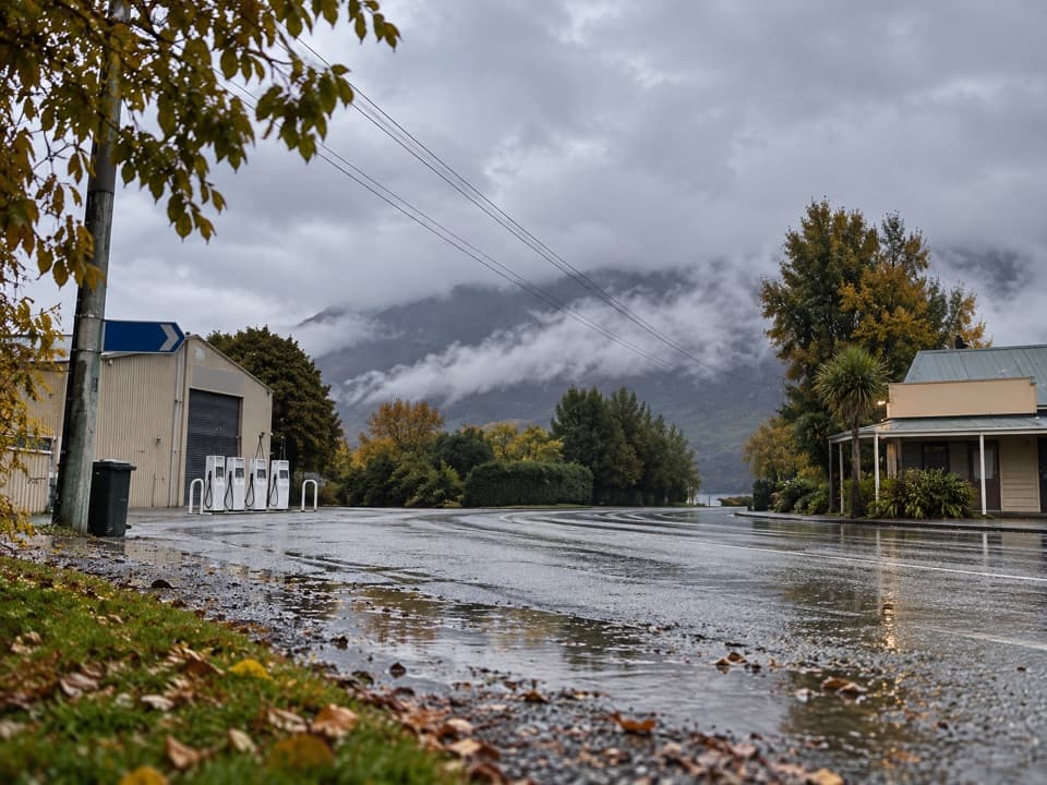 Gas station · 7.1 km awayGlenorchy Motors PetrolA practical refuel before exploring the remote valleys beyond town.
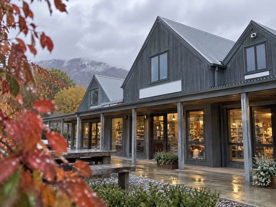 Store · 7.1 km awayMrs Woolly’s General StoreHomemade pies and local gifts make this a handy Glenorchy stop.
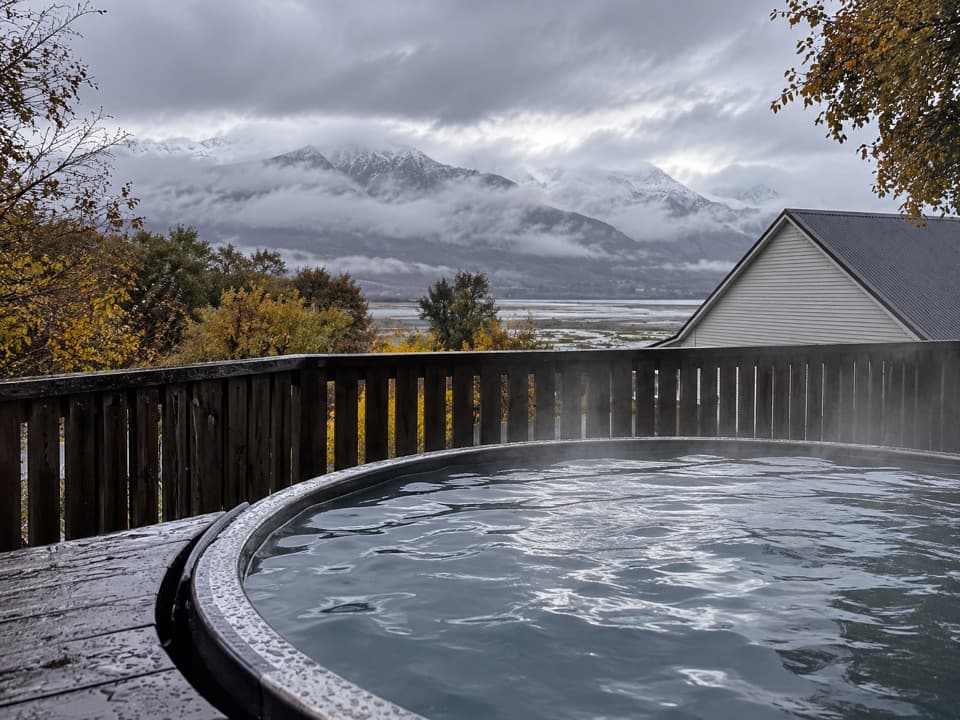 Lodging · 7.1 km awayKinloch Wilderness RetreatA remote lakehead lodge for meals, nights and dark skies.
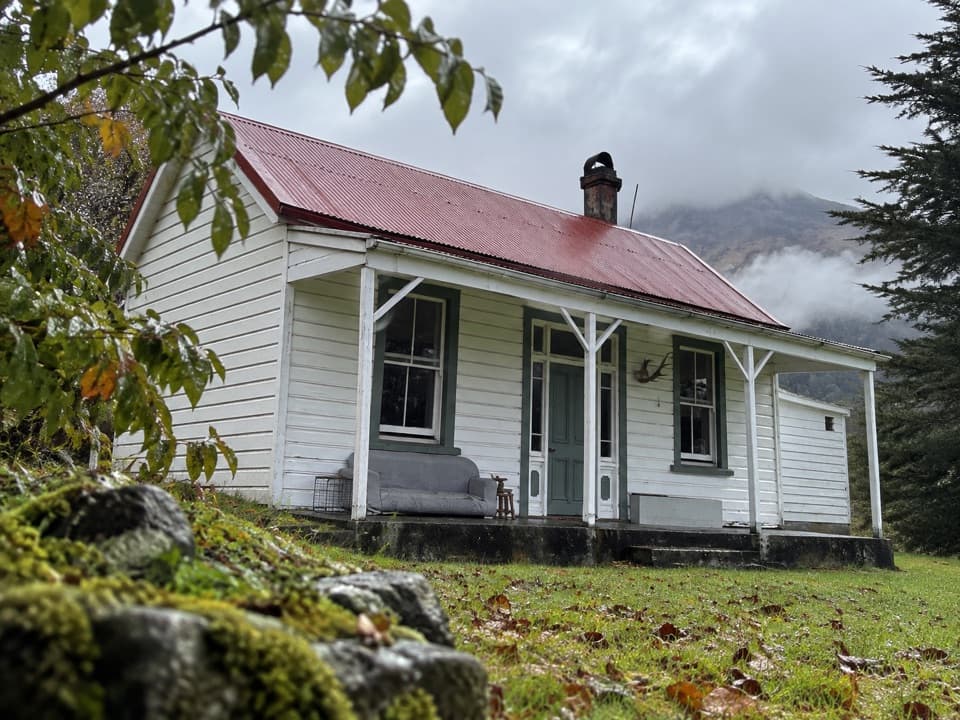 Lodging · 7.2 km awayParadise TrustBook a remote historic stay at the head of Lake Wakatipu.
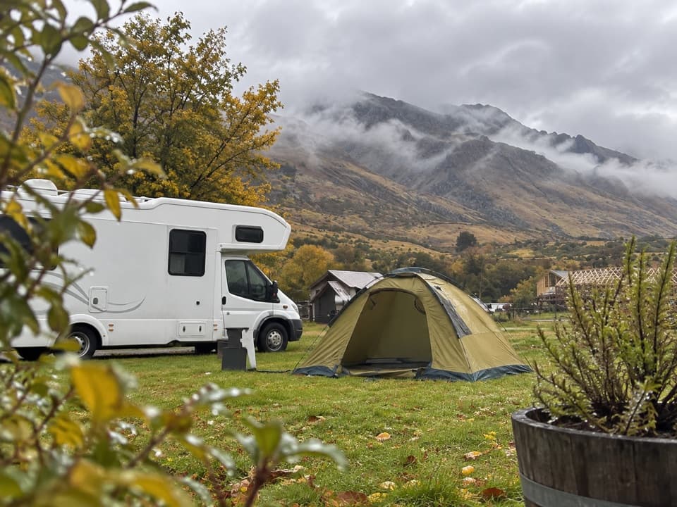 Campground · 7.2 km awayMrs Woolly’s CampgroundMountain-backed camping close to Glenorchy’s lakefront and lagoon.
Parkwolf’s Queenstown-Lakes District ranking

The audio tour guide for the drive, plus offline maps, trails, and wildlife heatmaps for when the signal drops.





