Parking
Turn right off Queenstown–Glenorchy Road into the Whakaari Conservation Area car park about 2 km south of Glenorchy. Parking capacity and facilities were not found.
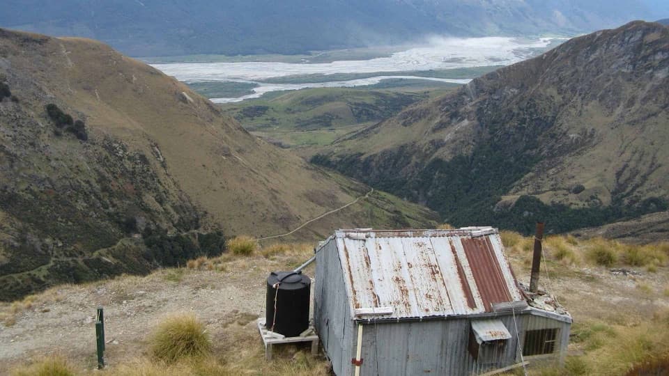
Queenstown-Lakes District, New Zealand, OT
A demanding hut loop through Whakaari’s old mining country.
Photo: Brian Dobbie, Source: Department of Conservation (NZ), CC BY 2.0
Overview
Map & elevation
Plan your hike

The highest, rockiest slopes around here are a summer buffet for grizzly bears.
Queenstown-Lakes District Tour Guide
Parkwolf is a GPS audio tour guide for Queenstown-Lakes District, New Zealand. As you drive, it chimes in with what’s ahead: hidden gems, upcoming stops, history, geology, and wildlife, right through your car’s speakers.
See the Queenstown-Lakes District audio tourRecorded for this trailhead
Whakaari Mining Trails“You're coming up on Whakaari Conservation Area, the start of walks through Glenorchy's old scheelite-mining country. For a short look, follow the old Mount Judah Road to the battery, about ten minutes from the car park.”
Plays as you drive up to this trailhead in the Parkwolf Queenstown-Lakes District Tour Guide.
More stories near here in the app
“Fantastic app with many points of information… It’s great to just turn on while you’re driving and it gives you an audio tour of the national Park. We love it!!!!”


Trail guide
Judah and Heather Jock Loop Tracks is a 17 km return circuit from Whakaari Conservation Area car park, linking Mt Judah Track with Bonnie Jean Hut, Heather Jock Hut and historic Jean Hut before dropping back to Judah Track. Allow 7–8 hours. It starts as an easy climb but becomes a steep, exposed alpine tramp; the upper section is for experienced trampers, not a casual hut stroll.
From the information shelter, the old Mt Judah Road sidles around the mountain’s north side. The Glenorchy Scheelite Battery is about 10 minutes in, State Mine about an hour, and a junction comes around 1½ hours from the car park. Continue to the old road’s end, then take the marked half-hour climb to Bonnie Jean Hut, which is for day use only.
From Bonnie Jean, the route gets harder. It zigzags steeply up the old mining road to Heather Jock Hut, then sidles down and across to historic Jean Hut before dropping back to Judah Track. The huts and ridge views make the climb worthwhile, but this is a long day with a sustained rougher upper section.
Whakaari’s tussock slopes hold the remains of its scheelite-mining era: an old road, a battery, the State Mine and historic huts. The hut stops are part of the experience, not staffed services. From the open slopes, look back across Whakatipu Waimāori and toward the Dart valley and Humboldt Mountains. The weathered hut, winding track and braided valley make a strong frame together.
This is exposed alpine ground. Strong wind, sharp temperature swings, snow and ice can occur at any time; the area is not recommended in winter or poor conditions. Avalanches are most common from May through November, but can occur outside those months when snow remains. Streams can rise quickly after rain or snowmelt, so do not cross them in high water; steep drop-offs and hidden mine tunnels are also hazards. Stay out of mine workings.
Do not use natural water for drinking, cooking or washing: historic mining may have left arsenic and heavy metals, which boiling or filtering will not remove. Carry all the water you need; hut tanks may be empty.
Turn right off Queenstown–Glenorchy Road into the Whakaari Conservation Area car park about 2 km south of Glenorchy. The Judah approach is shared with mountain bikers and horses. Dogs are not allowed. Carry the NZTopo50 CB10 map, food for the day and all the water you need; hut tanks are not guaranteed.
Wildlife
 194 sightingsKeaMost seen around 5 PMSighting map
 18 sightingsKākāMost seen around 6 PMSighting map
 198 sightingsKererūMost seen around 10 AMSighting map
 53 sightingsWekaMost seen around 6 PMSighting map
 245 sightingsTūīMost seen around 8 AMSighting map
 98 sightingsBellbirdMost seen around 6 AMSighting map
Sighting maps show where each species has been reported across Queenstown-Lakes District. Wildlife moves, so no sighting is guaranteed.
Keep exploring
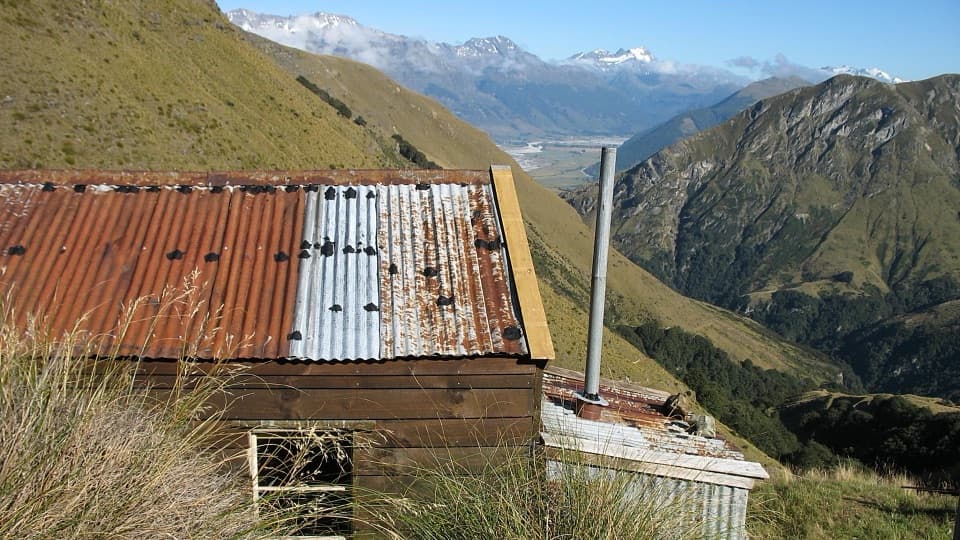 ModerateJudah Track13.4 km · 5 hr · At the trailheadA long hut hike along an old mining road through alpine tussock.
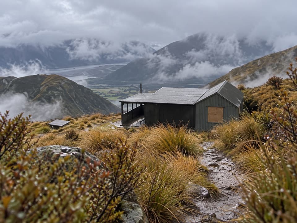 ChallengingMt McIntosh Loop Track18 km · 9 hr · At the trailheadA demanding 18 km loop over old mining roads and exposed ridges
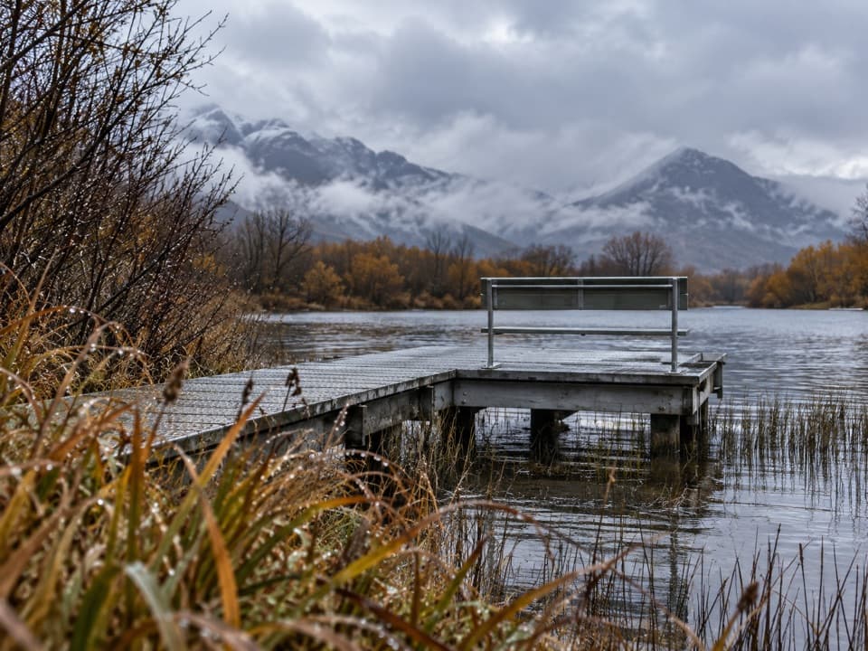 EasyGlenorchy Walkway4.4 km · 1.5 hr · 2.4 km awayAn easy wetland loop with boardwalk crossings and mountain views.
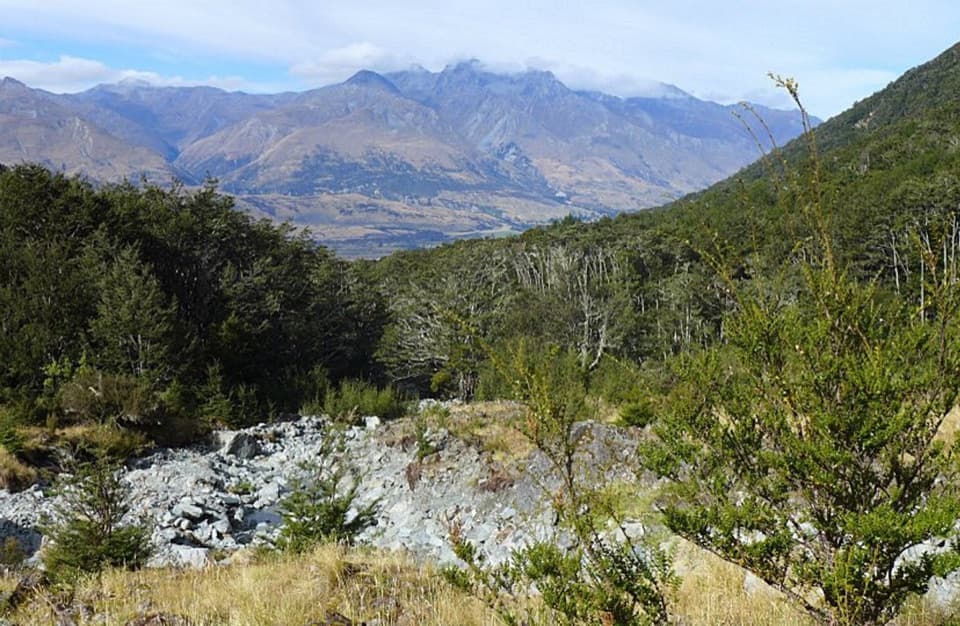 ModerateGlacier Burn Track7.3 km · 4 hr · 6.6 km awayA steep forest climb to Glacier Basin and Humboldt views.
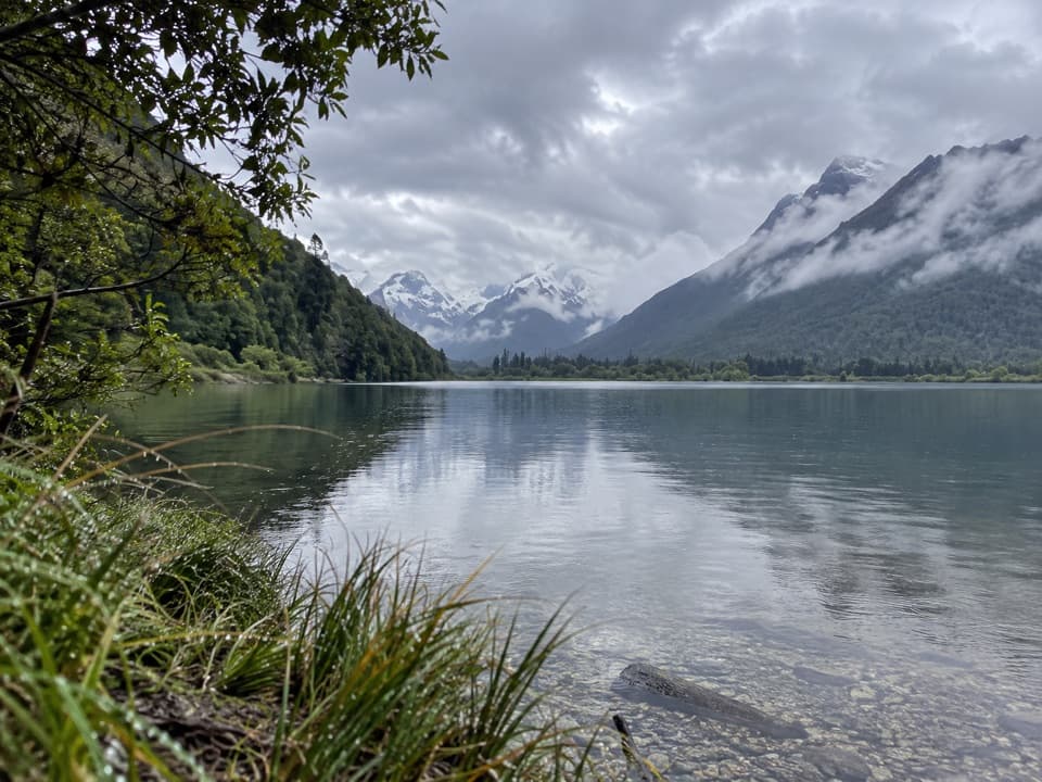 EasyDiamond Creek Walk6.9 km · 1.5 hr · 8.6 km awayA boggy creek walk ends with birdlife and broad valley views.
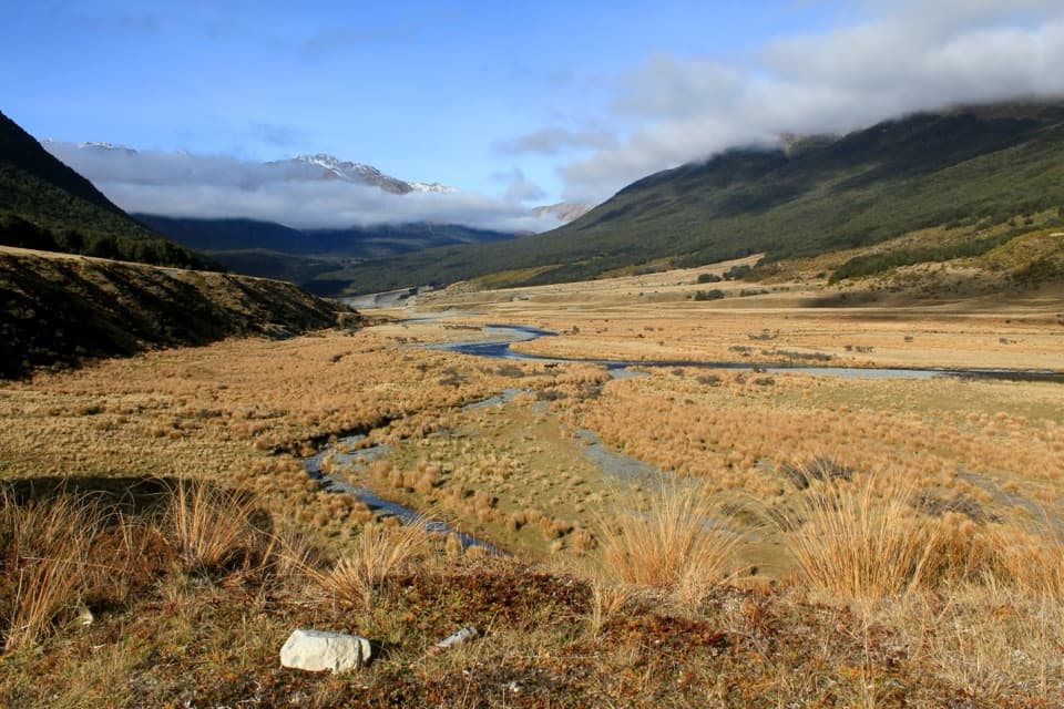 ModerateGreenstone Track36 km · 11.5 hr · 9.1 km awayRiver flats, two huts and a finish at Lake Howden.ChallengingGreenstone–Caples Circuit61 km · 18.5 hr · 9.1 km awayA four-day loop through wild valleys over the exposed McKellar Saddle.
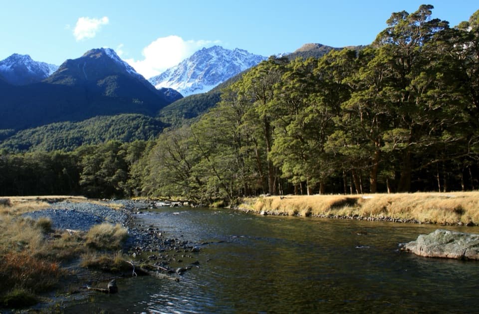 ChallengingCaples Track31 km · 9 hr · 9.1 km awayA 31 km one-way valley tramp over McKellar Saddle to Lake Howden.
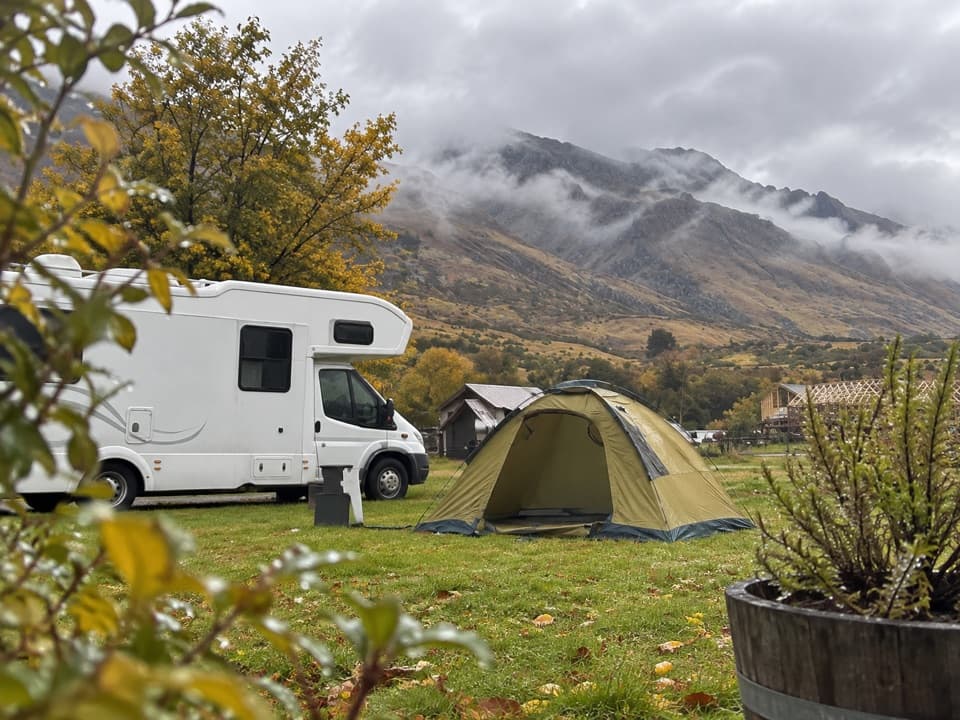 Campground · 1.8 km awayMrs Woolly’s CampgroundMountain-backed camping close to Glenorchy’s lakefront and lagoon.
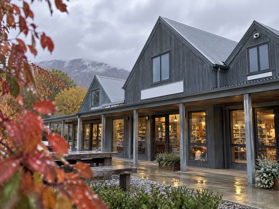 Store · 1.8 km awayMrs Woolly’s General StoreHomemade pies and local gifts make this a handy Glenorchy stop.
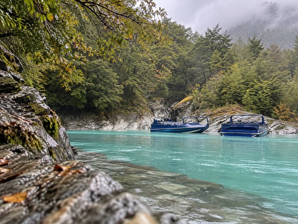 Sight · 2.1 km awayDart River AdventuresJet-boat to the Dart’s braided channels, then paddle downstream.
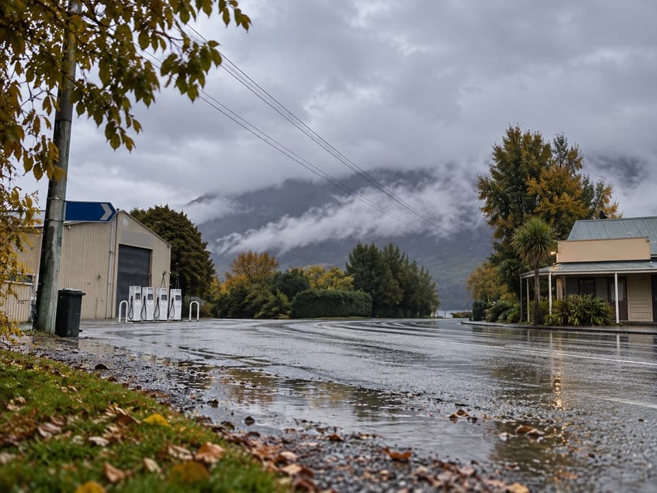 Gas station · 2.1 km awayGlenorchy Motors PetrolA practical refuel before exploring the remote valleys beyond town.
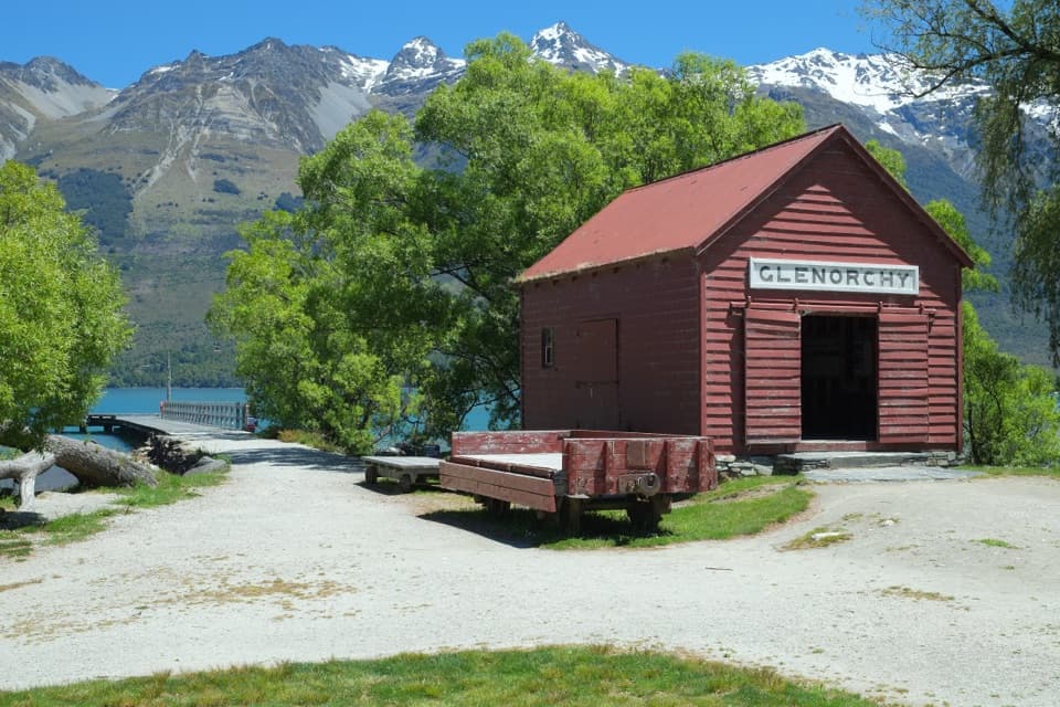 Sight · 2.2 km awayGlenorchy Wharf and Red ShedThe red shed once sorted freight brought in by lake steamers.
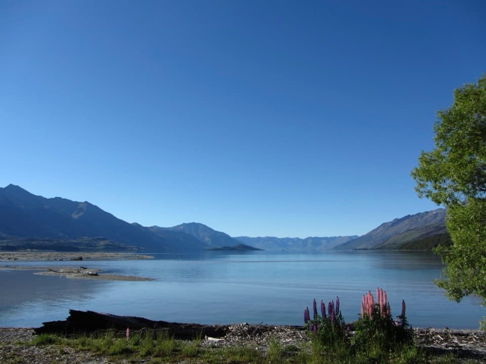 Campground · 4.7 km awayKinloch CampsiteRemote lakeside camping, with a gravel approach that can flood.
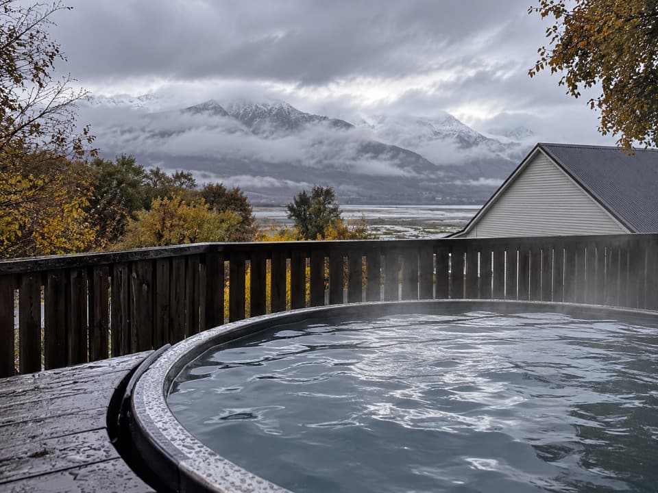 Lodging · 4.8 km awayKinloch Wilderness RetreatA remote lakehead lodge for meals, nights and dark skies.
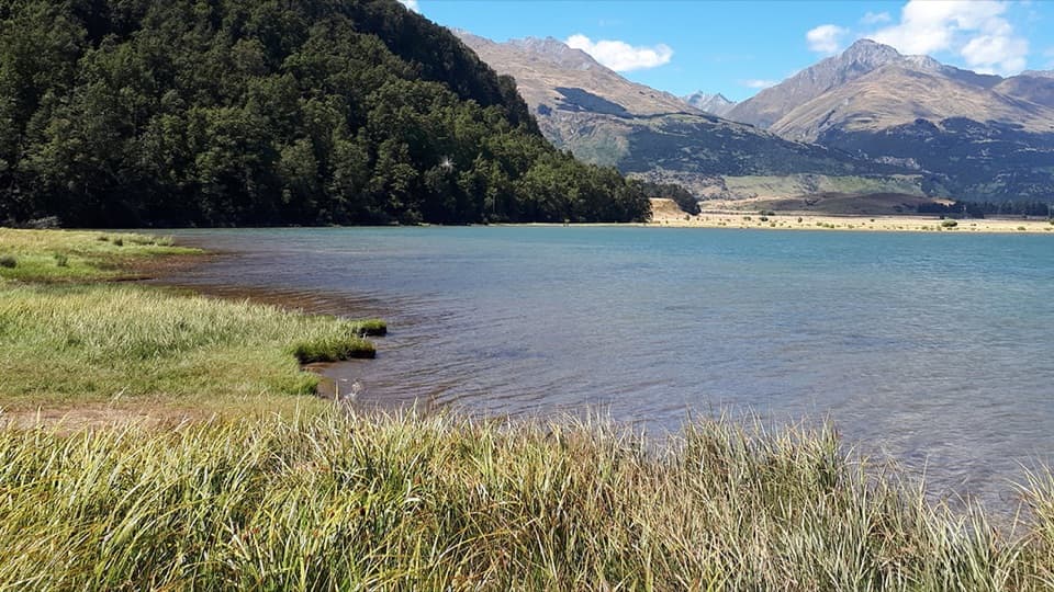 Campground · 14.7 km awayDiamond Lake CampsiteSwim, fish, or kayak beside your overnight stop.
Parkwolf’s Queenstown-Lakes District ranking

The audio tour guide for the drive, plus offline maps, trails, and wildlife heatmaps for when the signal drops.





