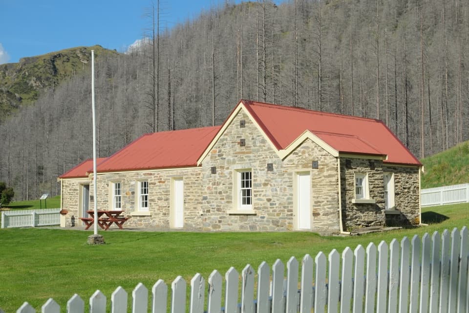
Skippers Historic Site in Queenstown-Lakes District, New Zealand

Sight · Queenstown-Lakes District, New Zealand

Skippers Historic Site

A goldfield ghost town with a school worth stepping inside.

Photo: Pseudopanax at English Wikipedia, Public domain, via Wikimedia Commons

Type
Sight
Nearest trail
Right here
  • Exhibit
  • Restrooms
  • Campground

Hear the audio tour

Skippers Road and Historic Site
Download Parkwolf on the App StoreGet Parkwolf on Google Play

4.7 from 8,600+ ratings

Overview

About Skippers Historic Site

Why stop

  • The restored school and homestead make the goldfield’s human story tangible.

Heads up

  • The slow, exposed gravel approach is a serious commitment.

Map

Where it is

Loading the Queenstown-Lakes District map
Full map
SightSkippers Historic Site-44.84266, 168.68112
Keep this map with you offline in the Parkwolf app

Plan your stop

Before you go

Facilities and the best photo

The nearby Skippers Point campsite has a picnic shelter and seasonal toilets: flush in summer and pit toilets in winter. Its water tank is marked untreated, so don’t assume the water is ready to drink. No food service is listed for the reserve, so bring a meal.

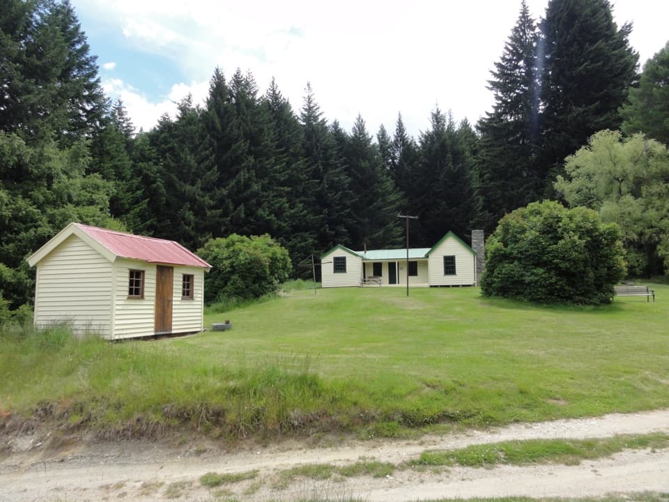
The restored school is the clearest photo stop: step back enough to frame its red roof, paired stone gables and white fence together. That gives the picture a sense of the school’s setting as well as the building itself.


3 active Queenstown-Lakes District alerts

  • ClosureSkippers Bridge closed to all usersMentions Skippers Bridge, referenced in this guideSkippers Bridge is closed to all vehicles, cyclists and pedestrians; stay off the bridge and obey closure signs and barriers.Official details
  • CautionRob Roy Track: stop at lower lookout during avalanche seasonFrom May to November, end your Rob Roy Track hike at the lower lookout: DOC strongly recommends this because the upper section crosses active avalanche paths.Official details
See all 3 alerts
A park ranger sits on a dash-mounted phone, talking, as Parkwolf’s Tour Guide plays “Army Cutworm Moths: A Grizzly Bear Buffet” on Grand Loop Road below Dunraven Pass in Yellowstone
Parkwolf Tour GuideThe highest, rockiest slopes around here are a summer buffet for grizzly bears.

Queenstown-Lakes District Tour Guide

Your drive to Skippers Historic Site, narrated.

Parkwolf is a GPS audio tour guide for Queenstown-Lakes District, New Zealand. As you drive, it chimes in with what’s ahead: hidden gems, upcoming stops, history, geology, and wildlife, right through your car’s speakers.

See the Queenstown-Lakes District audio tour

Recorded for this place

Skippers Road and Historic Site
0:00 / 0:37
“You're approaching Skippers Road, the access to an old goldfield settlement deep in the Shotover Valley.”

Plays as you drive up to Skippers Historic Site in the Parkwolf Queenstown-Lakes District Tour Guide.

  • 298 audio storiesacross Queenstown-Lakes District’s roads, triggered by GPS as you drive
  • Wildlife heatmapsfor Kea, Kākā, Kererū, and 13 more
  • Works offlinemaps, 155 trails, 129 places, and audio download before you lose signal
  • CarPlay readysimple controls built for the drive
★★★★★
“Fantastic app with many points of information… It’s great to just turn on while you’re driving and it gives you an audio tour of the national Park. We love it!!!!”
JMJamesApp Store review
Download Parkwolf on the App StoreGet Parkwolf on Google Play

4.7 from 8,600+ ratings

Guide

More about Skippers Historic Site

The old goldfield settlementSkippers Historic Site is the remains of a small gold-mining township scattered across a…

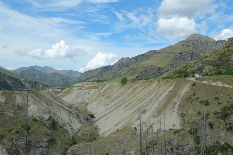
Skippers Historic Site is the remains of a small gold-mining township scattered across a terrace in the Shotover Valley. The restored Skippers Point School and Mount Aurum Homestead sit among a stone-walled cemetery, pub ruins and mining scars. It’s worth the detour if you like a history you can still read in the landscape; this is a handful of short walks between survivors, not a preserved main street.

Plan the driveThe approach is a serious part of the visit.

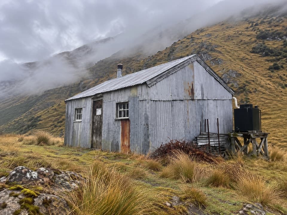
The approach is a serious part of the visit. Allow 1½–2 hours for the final 13 km from Skippers Saddle on a narrow, winding, unsealed road with steep drop-offs. It’s for experienced drivers; this isn’t a place to learn gravel driving. Published access directions cross Skippers Bridge, so check current official road and bridge access before setting out.

Walk among the remainsStart at the information shelter.

Start at the information shelter. The cemetery is about five minutes one way and holds 20 marked graves; the stone ruins of Johnston’s Otago Hotel, the settlement’s only pub, are beside it. The schoolhouse and homestead are each about ten minutes one way from the shelter. Pleasant Creek Terrace is a longer walk, 30 minutes each way along a formed 4WD track to interpretation panels and visible sluicing scars.

The school and homesteadSkippers Point School opened in 1879 and closed in 1927.

Skippers Point School opened in 1879 and closed in 1927. It later served as a woolshed before being restored between 1989 and 1992; panels inside explain the school, gold mining and life here. The Mount Aurum Homestead is one of only two timber buildings left from Skippers’ gold-mining era, and its displays tell the story of the homestead and station run.

What the gold rush left behindThe 1862 gold rush brought thousands into the canyon.

The 1862 gold rush brought thousands into the canyon. Skippers grew to include a post office, hall, hotel and stores, but the population fell from about 700 in the 1860s to 92 by 1901 as the gold dwindled. Miners worked alluvial deposits along the river and terraces; water races and sluicing scars remain where pipes and canvas hoses were used to wash the gold-bearing ground.

The place is believed to be named for Malcolm Duncan, an American sailor known as “the Skipper,” who led prospectors into the area. The Shotover River’s Māori name, Kimi Ākau, means “looking for the coast”; Māori valued pounamu here rather than gold.

Wildlife

Wildlife in Queenstown-Lakes District

All Queenstown-Lakes District wildlife maps

Sighting maps show where each species has been reported across Queenstown-Lakes District. Wildlife moves, so no sighting is guaranteed.

Parkwolf’s Queenstown-Lakes District ranking

Top sights in Queenstown-Lakes District

All 129 places
  1. 1Skyline QueenstownSight
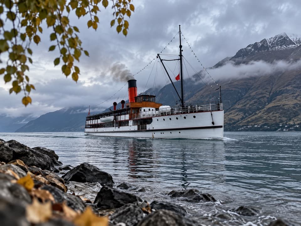
  2. 2TSS EarnslawSight
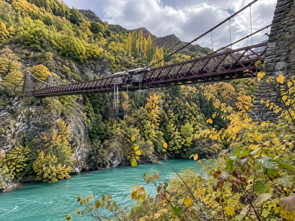
  3. 3Kawarau Bridge and Bungy CentreSight
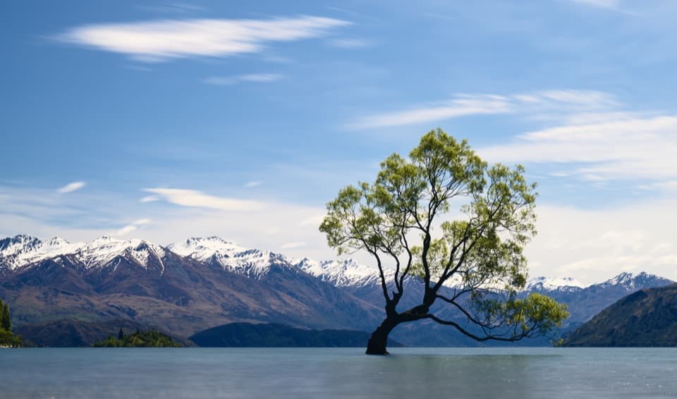
  4. 4That Wānaka TreeSight
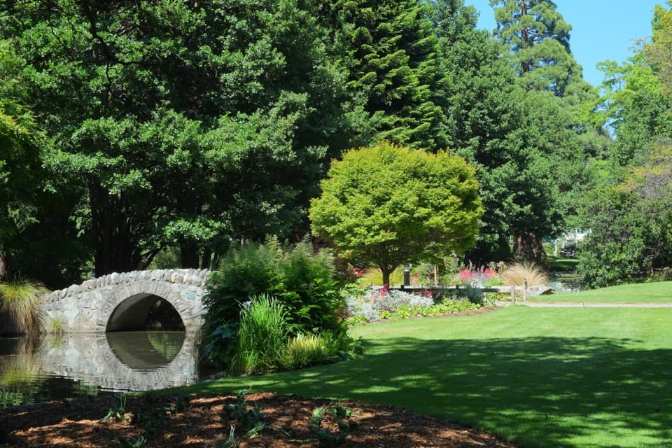
  5. 5Queenstown GardensSight
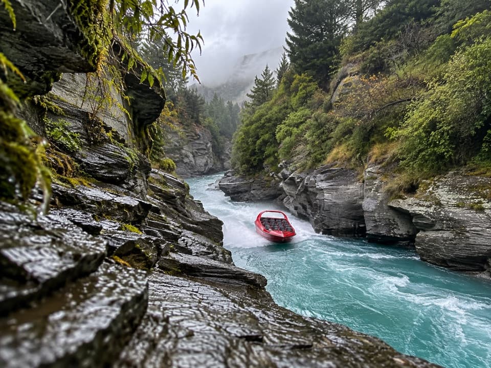
  6. 6Shotover JetSight

Take Parkwolf to Queenstown-Lakes District.

The audio tour guide for the drive, plus offline maps, trails, and wildlife heatmaps for when the signal drops.

4.7 from 8,600+ ratings

Download Parkwolf on the App StoreGet Parkwolf on Google Play