Parking
Use the marked parking area at Skippers Point beside Skippers Point Schoolhouse; the walk starts at the schoolhouse.
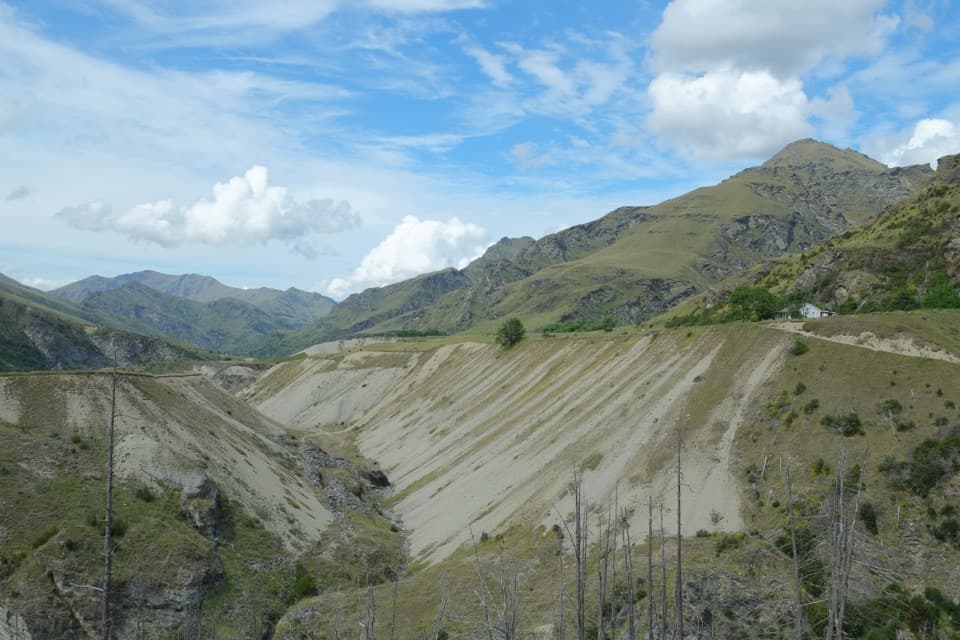
Queenstown-Lakes District, New Zealand, OT
Terrace scars from gold sluicing make this short walk distinctive.
Photo: Pseudopanax at English Wikipedia, Public domain, via Wikimedia Commons
Overview
Map & elevation
Plan your hike

The highest, rockiest slopes around here are a summer buffet for grizzly bears.
Queenstown-Lakes District Tour Guide
Parkwolf is a GPS audio tour guide for Queenstown-Lakes District, New Zealand. As you drive, it chimes in with what’s ahead: hidden gems, upcoming stops, history, geology, and wildlife, right through your car’s speakers.
See the Queenstown-Lakes District audio tourRecorded for this trailhead
Skippers Road and Historic Site“You're approaching Skippers Road, the access to an old goldfield settlement deep in the Shotover Valley.”
Plays as you drive up to this trailhead in the Parkwolf Queenstown-Lakes District Tour Guide.
“Fantastic app with many points of information… It’s great to just turn on while you’re driving and it gives you an audio tour of the national Park. We love it!!!!”


Trail guide
Pleasant Terrace Historic Walk is an easy 1.8-mile round trip from Skippers Point Schoolhouse to the gold-mining scars on Pleasant Creek Terrace. It follows a formed 4WD track across Londonderry and Pleasant Creek terraces, then returns the same way. The walk itself takes about 30 minutes each way; allow 1 to 1.5 hours if you want time at the interpretation panels and the terrace face.
The route is a short, well-formed walk, though the track may have slopes. The panels at Pleasant Creek Terrace are the turnaround. Beyond them, the unmarked, unmaintained Stony Creek track continues toward Murphys Creek North; that is a separate route for experienced trampers and is not part of this walk.
At the far end, pale gravel cuts and water races show where miners worked alluvial gold claims on the terrace. In the 1870s, pipes and canvas hoses carried water to wash gravel from the slopes; the sluicing scars are still the main feature here. From the panels, look across the washed terrace face, and leave historic material in place.
The walk begins at the former Upper Shotover Public School, later called Skippers Point School. It opened in 1879 and closed in 1927. The restored schoolhouse stands at the start of the route, a reminder that Skippers was once a substantial gold settlement rather than only a collection of mine workings.
Reaching the trailhead is the main catch. Skippers Road is narrow and winding, with very steep drops; only experienced drivers should attempt it. Treat the approach as part of the day, especially if you are considering this as a quick detour.
Wildlife
 190 sightingsKeaMost seen around 5 PMSighting map
 18 sightingsKākāMost seen around 6 PMSighting map
 197 sightingsKererūMost seen around 10 AMSighting map
 51 sightingsWekaMost seen around 6 PMSighting map
 243 sightingsTūīMost seen around 8 AMSighting map
 97 sightingsBellbirdMost seen around 6 AMSighting map
Sighting maps show where each species has been reported across Queenstown-Lakes District. Wildlife moves, so no sighting is guaranteed.
Keep exploring
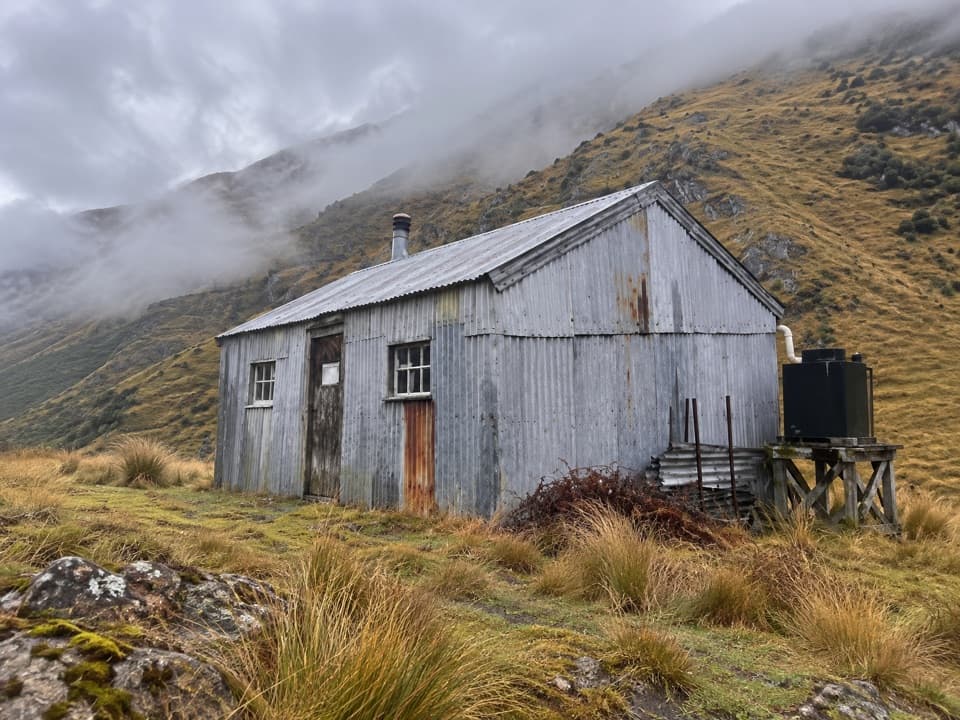 ModerateDynamo Hut Track14.6 km · 6 hr · 0.5 km awayFollow Skippers Creek to a remote hut and restored hydro relics.
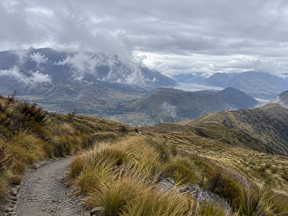 ChallengingDevils Creek Track12 km · 5.5 hr · 11 km awayA long traverse from Mount Dewar into the Devils Creek catchment.
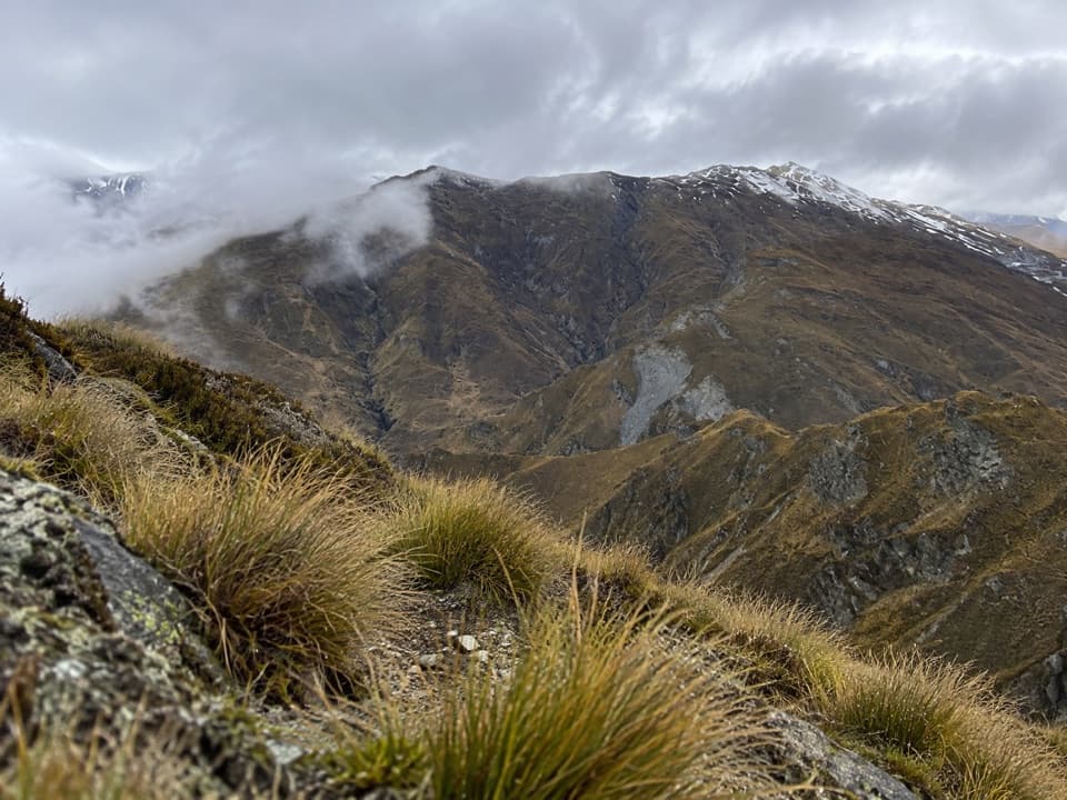 ModerateAtleys Track13.7 km · 5.5 hr · 11 km awayA rugged crossing over Mt Dewar to old gold workings.
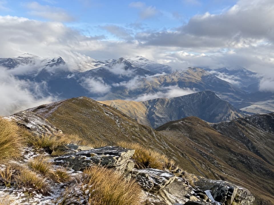 ModerateMount Dewar Track5 km · 2.5 hr · 11.1 km awayA short hill climb with broad Whakatipu basin views.
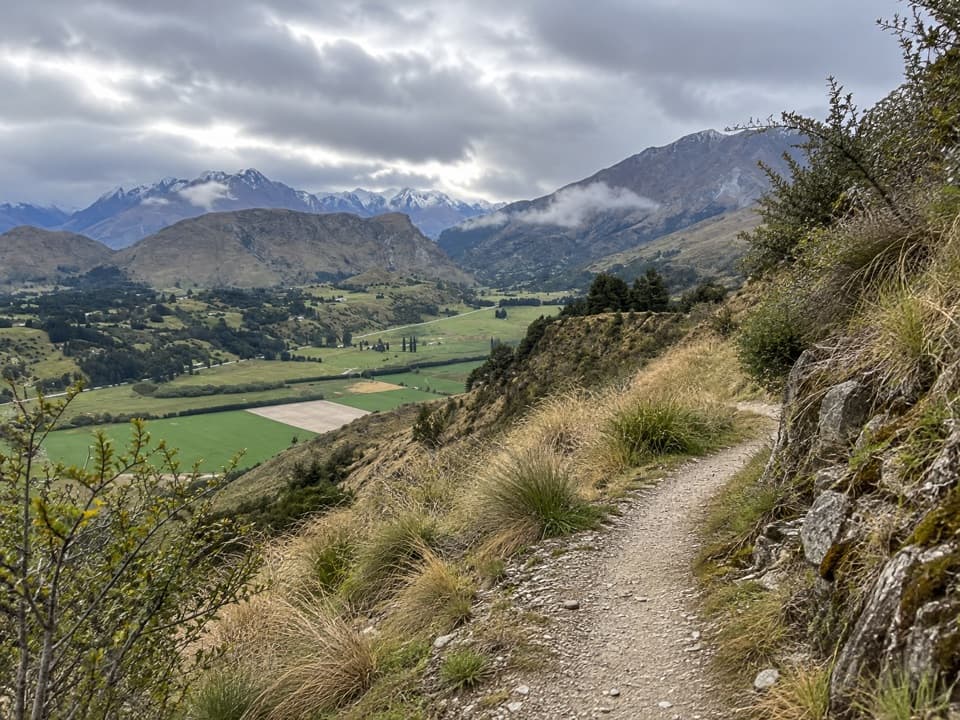 ModerateCoronet Face Water Race Trail6 km · 2.5 hr · 11.2 km awayA high traverse past old water-race pipes above the basin.
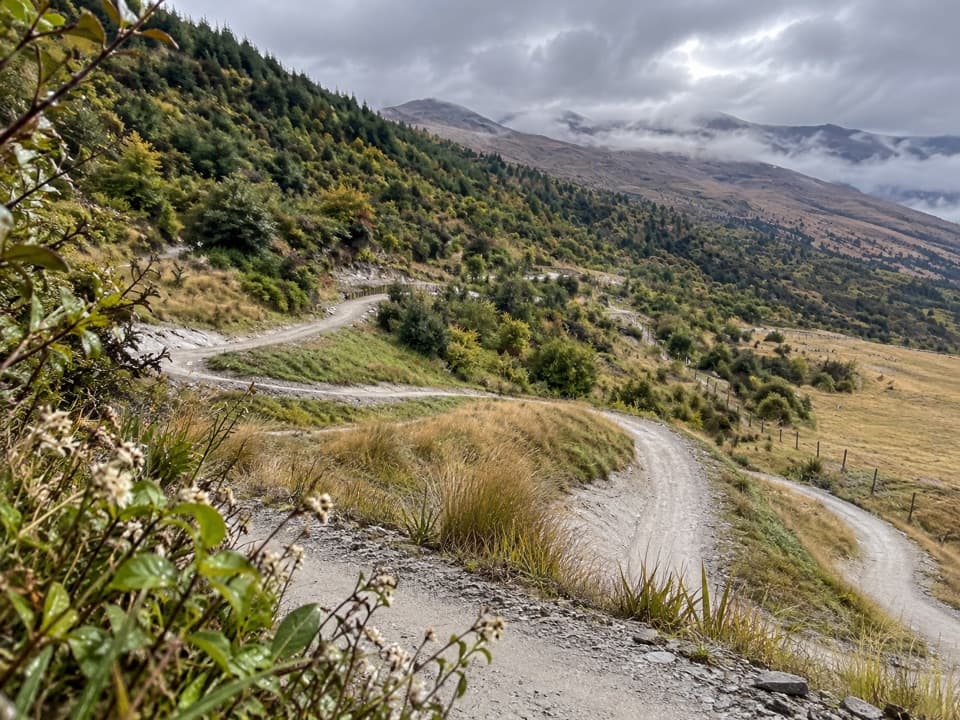 EasyWharehuanui Trail13 km · 3 hr · 15.2 km awayA long, easy traverse of wetlands and Coronet foothills.
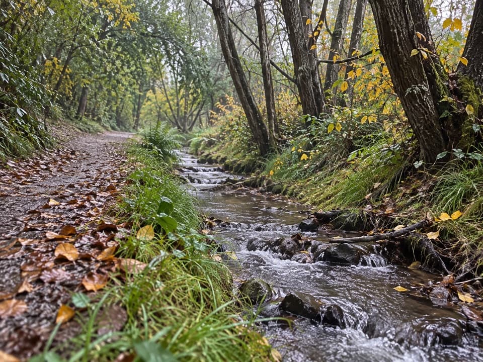 ModerateBush Creek Track13 km · 3.5 hr · 15.3 km awayCreekside history leads to an open saddle above Arrowtown.
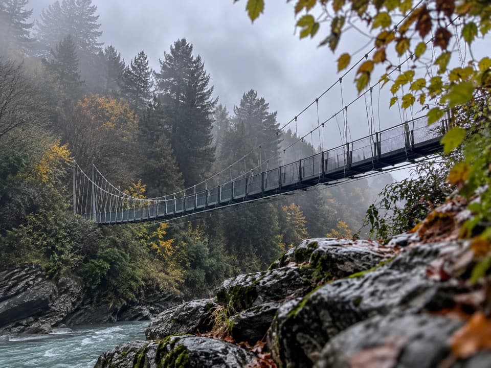 ModerateShotover Gorge Trail6.5 km · 1.8 hr · 15.6 km awayA four-mile gorge trail through a historic tunnel to a suspension bridge.
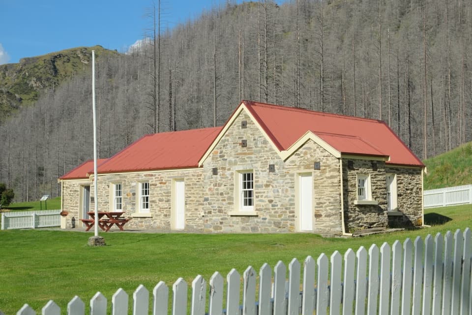 Sight · At the trailheadSkippers Historic SiteA goldfield ghost town with a school worth stepping inside.
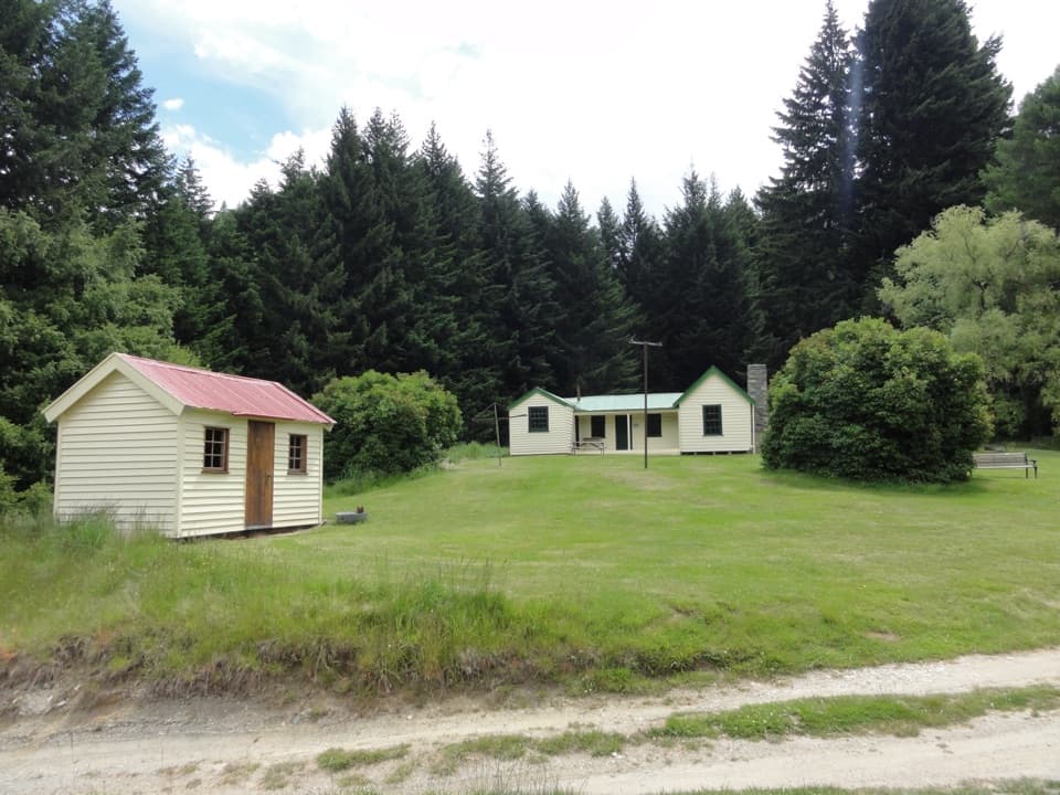 Campground · At the trailheadSkippers CampsiteA goldfields camp for travelers up to a tough road.
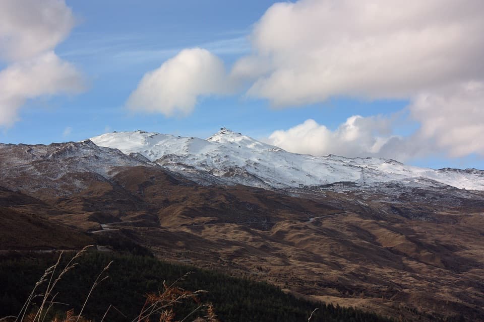 Sight · 10.3 km awayCoronet PeakQueenstown's ski mountain for winter runs, summer rides, and basin views.
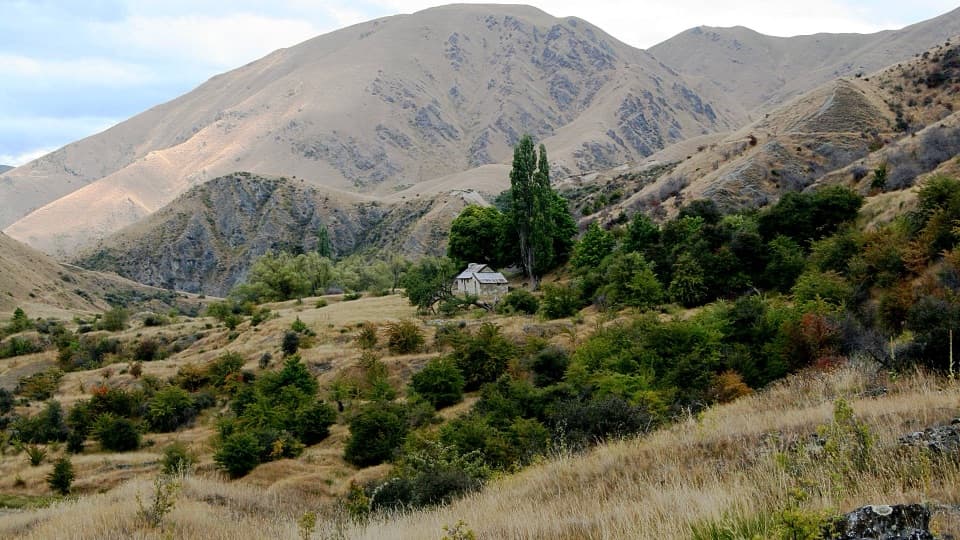 Sight · 11.3 km awayMacetown Historic ReserveA remote goldfield town where the road is half the adventure.
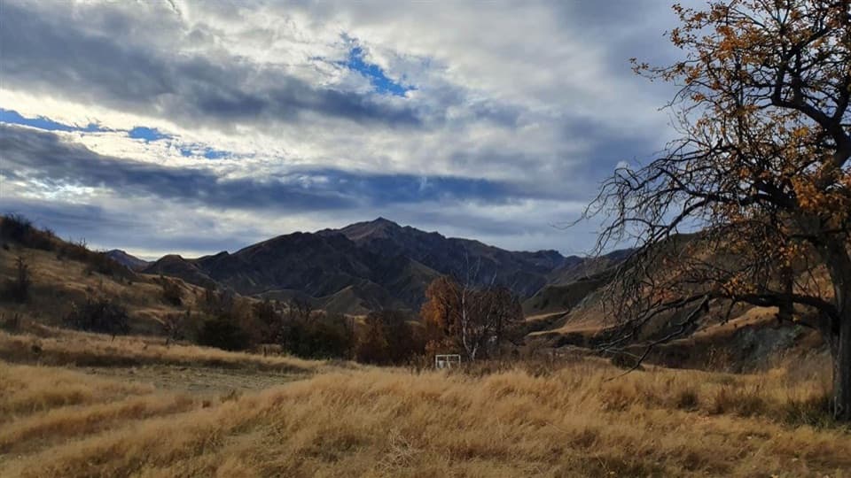 Campground · 11.3 km awayMacetown CampsiteCamp in a gold-rush ghost town if the rough 4WD road suits.
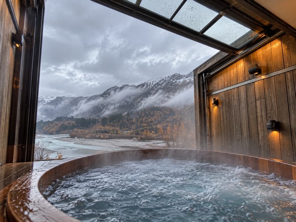 Sight · 15.4 km awayOnsen Hot Pools & Day SpaA private cedar soak above the Shotover River canyon.
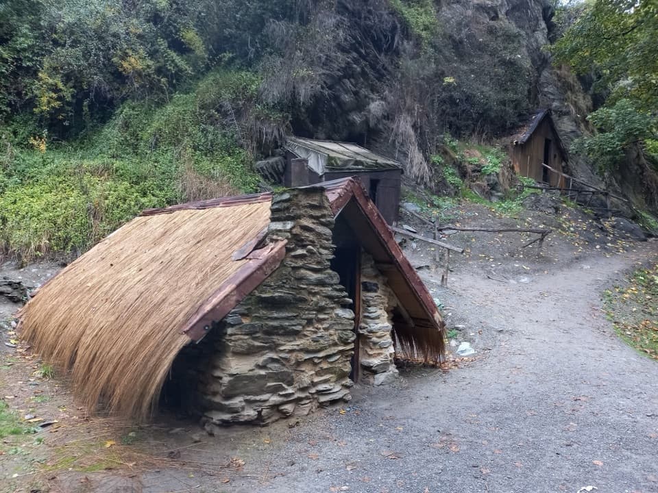 Sight · 15.7 km awayArrowtown Chinese SettlementA creekside heritage walk to a rare Chinese store.
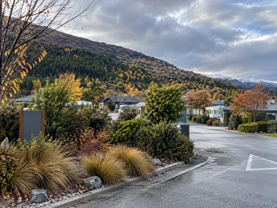 Campground · 15.8 km awayQueenstown TOP 10 Holiday ParkA family campground with a free shuttle into Queenstown
Parkwolf’s Queenstown-Lakes District ranking

The audio tour guide for the drive, plus offline maps, trails, and wildlife heatmaps for when the signal drops.





