Dynamo Hut Track in Queenstown-Lakes District, New Zealand

Queenstown-Lakes District, New Zealand, OT

Dynamo Hut Track

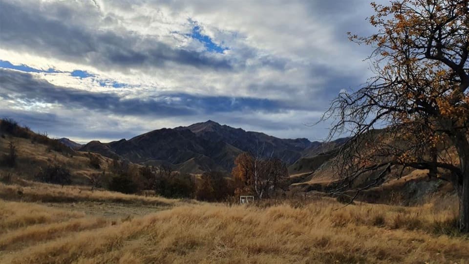
Follow Skippers Creek to a remote hut and restored hydro relics.

Length
14.6km
Time
6hr
Elev. change
151m
Difficulty
Moderate
  • Dogs allowed
  • High point 689 m

Hear the audio tour

Skippers Road and Historic Site

Overview

About Dynamo Hut Track

Why go

  • Historic hydro remains at the end of a dramatic creek route.
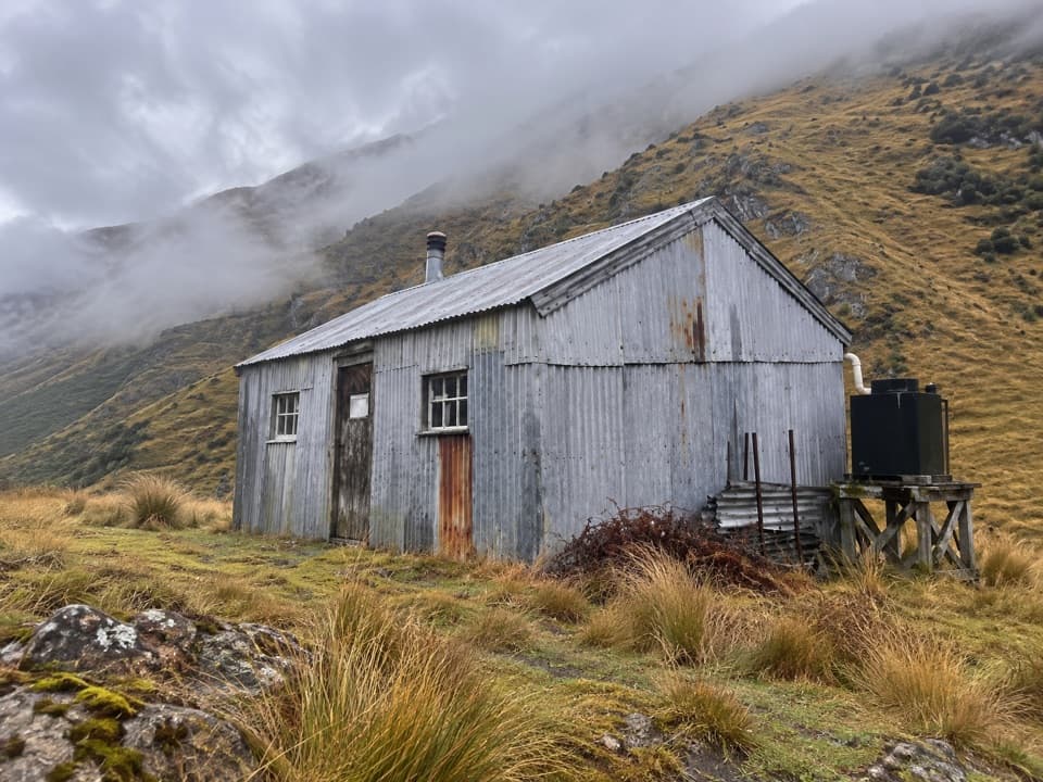
  • A remote four-bunk hut makes a clear destination.

Heads up

  • Repeated creek crossings can become impassable after rain.
  • Rough footing and sparse marking demand careful route-finding.

Map & elevation

The route

Loading the Queenstown-Lakes District map
Full map
Elevation538–689 m
TrailheadSkippers Cemetery-44.84068, 168.68646
Keep this map with you offline in the Parkwolf app

Plan your hike

Before you go

Parking

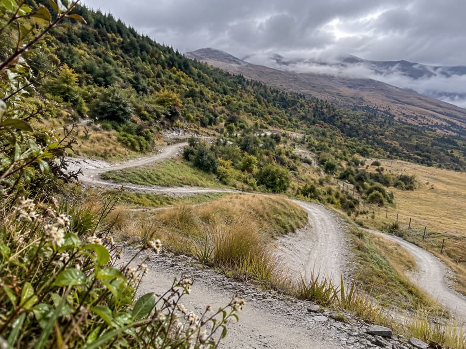
Park at Skippers Cemetery, the named start. From Queenstown, follow Gorge Road through Arthur’s Point, take the Coronet Peak turn-off, then the signed unsealed Skippers Road. The final 13 km is narrow and winding with steep drops; only experienced drivers should attempt it.

Safety

Cross Skippers Creek several times; high water after rain can make the route impassable. Much of the way is rough and not clearly marked, so carry Topo50 CB11 and GPS. Carry drinking water because streams near historic mine workings may be contaminated. Skippers Road is narrow, winding and exposed to steep drops.

3 active Queenstown-Lakes District alerts

  • CautionRob Roy Track: stop at lower lookout during avalanche seasonFrom May to November, end your Rob Roy Track hike at the lower lookout: DOC strongly recommends this because the upper section crosses active avalanche paths.Official details
  • ClosureSkippers Bridge closed to all usersSkippers Bridge is closed to all vehicles, cyclists and pedestrians; stay off the bridge and obey closure signs and barriers.Official details
See all 3 alerts
A park ranger sits on a dash-mounted phone, talking, as Parkwolf’s Tour Guide plays “Army Cutworm Moths: A Grizzly Bear Buffet” on Grand Loop Road below Dunraven Pass in Yellowstone
Parkwolf Tour GuideThe highest, rockiest slopes around here are a summer buffet for grizzly bears.

Queenstown-Lakes District Tour Guide

Your drive to Dynamo Hut Track, narrated.

Parkwolf is a GPS audio tour guide for Queenstown-Lakes District, New Zealand. As you drive, it chimes in with what’s ahead: hidden gems, upcoming stops, history, geology, and wildlife, right through your car’s speakers.

See the Queenstown-Lakes District audio tour

Recorded for this trailhead

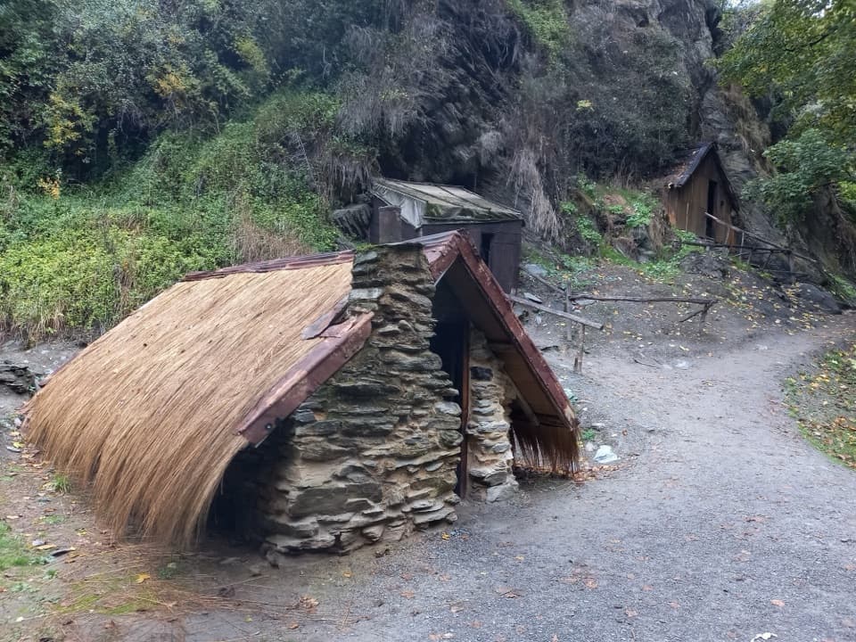
Skippers Road and Historic Site
0:00 / 0:37
“You're approaching Skippers Road, the access to an old goldfield settlement deep in the Shotover Valley.”

Plays as you drive up to this trailhead in the Parkwolf Queenstown-Lakes District Tour Guide.

  • 298 audio storiesacross Queenstown-Lakes District’s roads, triggered by GPS as you drive
  • Wildlife heatmapsfor Kea, Kākā, Kererū, and 13 more
  • Works offlinemaps, 155 trails, 129 places, and audio download before you lose signal
  • CarPlay readysimple controls built for the drive
★★★★★
“Fantastic app with many points of information… It’s great to just turn on while you’re driving and it gives you an audio tour of the national Park. We love it!!!!”
JMJamesApp Store review
Download Parkwolf on the App StoreGet Parkwolf on Google Play

4.7 from 8,600+ ratings

Trail guide

Hiking Dynamo Hut Track

Know before you goThe Dynamo Hut Track is a remote out-and-back from Skippers Cemetery to a restored 1886 hydro…

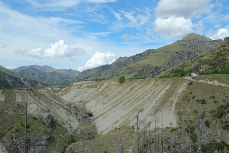
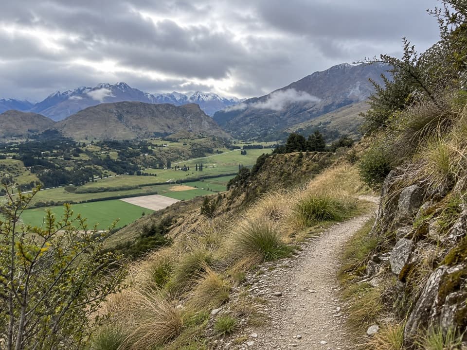
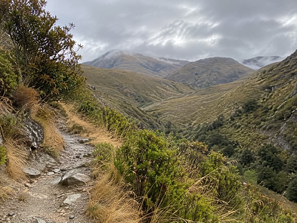
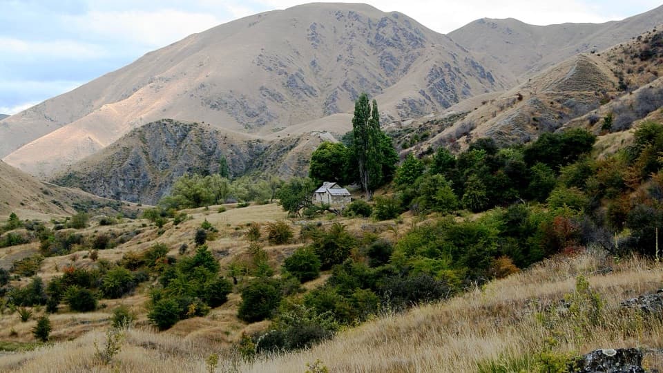
The Dynamo Hut Track is a remote out-and-back from Skippers Cemetery to a restored 1886 hydro site. Plan on about 9.1 miles round trip (roughly 4.5 miles each way) and six hours. The mileage is estimated from mapped route segments; no official total is posted and other totals vary. This is a long, rough route beside and through Skippers Creek, with several crossings. It is rated for medium fitness. Carry a Topo50 CB11 map and GPS because route markings are sparse.

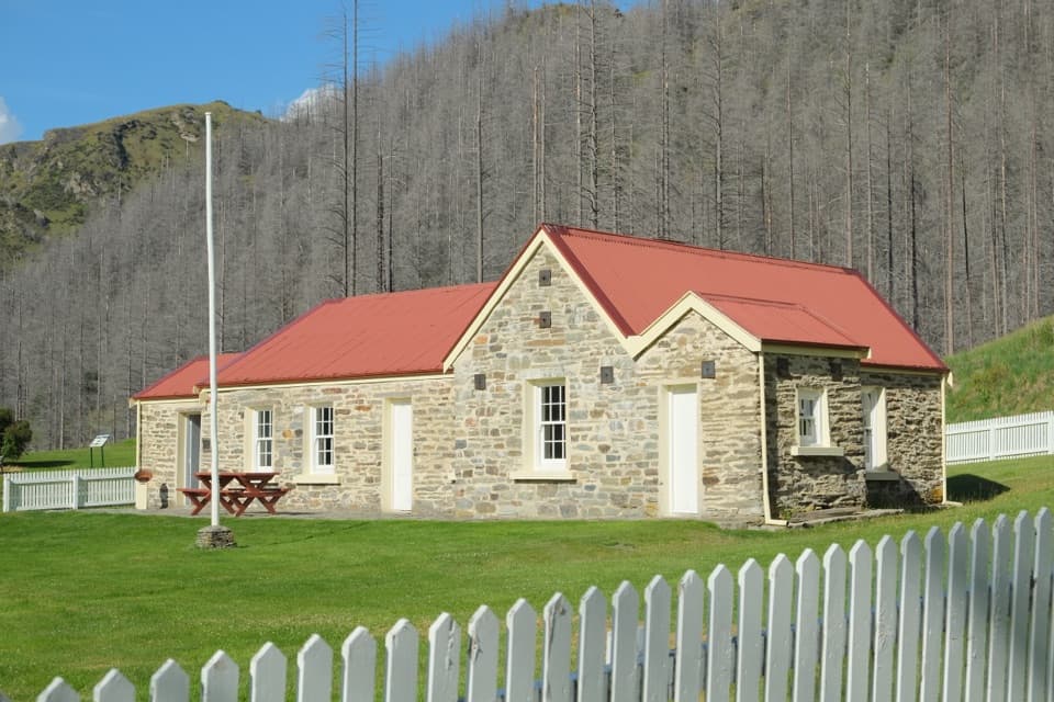
Follow Skippers CreekFrom the cemetery, the track heads northeast past the stone hotel ruins, drops to the creek and…

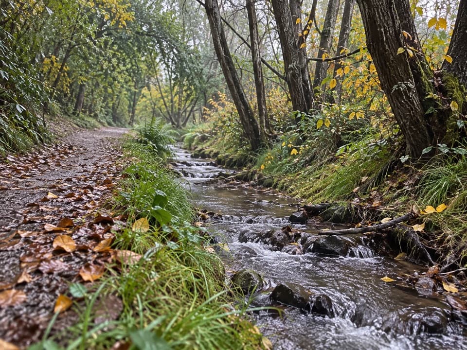
From the cemetery, the track heads northeast past the stone hotel ruins, drops to the creek and follows it upstream toward a hydro dam. It crosses rugged water several times. Beyond the dam, continue on the true-left branch and climb its left bank to the terrace and hut. High water can make crossings impassable, especially after rain. Nearby stream water may be contaminated by historic mine workings, so carry drinking water.

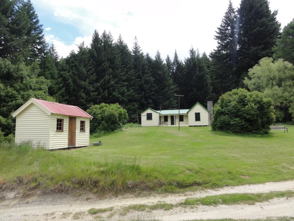
Power from the creekDynamo Hut is a standard four-bunk hut, with restored power-plant parts behind it.

Dynamo Hut is a standard four-bunk hut, with restored power-plant parts behind it. The scheme was built in 1886 to supply Bullendale’s battery about 2.5 km away and is recognized as New Zealand’s first industrial use of electricity. Overnight stays require a DOC hut ticket or pass; the hut is first come, first served.

Wildlife

Wildlife in Queenstown-Lakes District

All Queenstown-Lakes District wildlife maps

Sighting maps show where each species has been reported across Queenstown-Lakes District. Wildlife moves, so no sighting is guaranteed.

Keep exploring

Near Dynamo Hut Track

See it all on the map

Trails that start nearby

Places near the trailhead

Parkwolf’s Queenstown-Lakes District ranking

Top-rated trails in Queenstown-Lakes District

All 155 trails
  1. 1Routeburn TrackChallenging · 33.1 km
  2. 2Roys Peak TrackChallenging · 16 km
  3. 3Ben Lomond TrackChallenging · 14 km
  4. 4Rob Roy TrackModerate · 10 km
  5. 5Isthmus Peak TrackChallenging · 16 km
  6. 6Routeburn Falls TrackChallenging · 19.6 km

Take Parkwolf to Queenstown-Lakes District.

The audio tour guide for the drive, plus offline maps, trails, and wildlife heatmaps for when the signal drops.

4.7 from 8,600+ ratings

Download Parkwolf on the App StoreGet Parkwolf on Google Play