Overview
About Kehena Black Sand Beach
Why stop
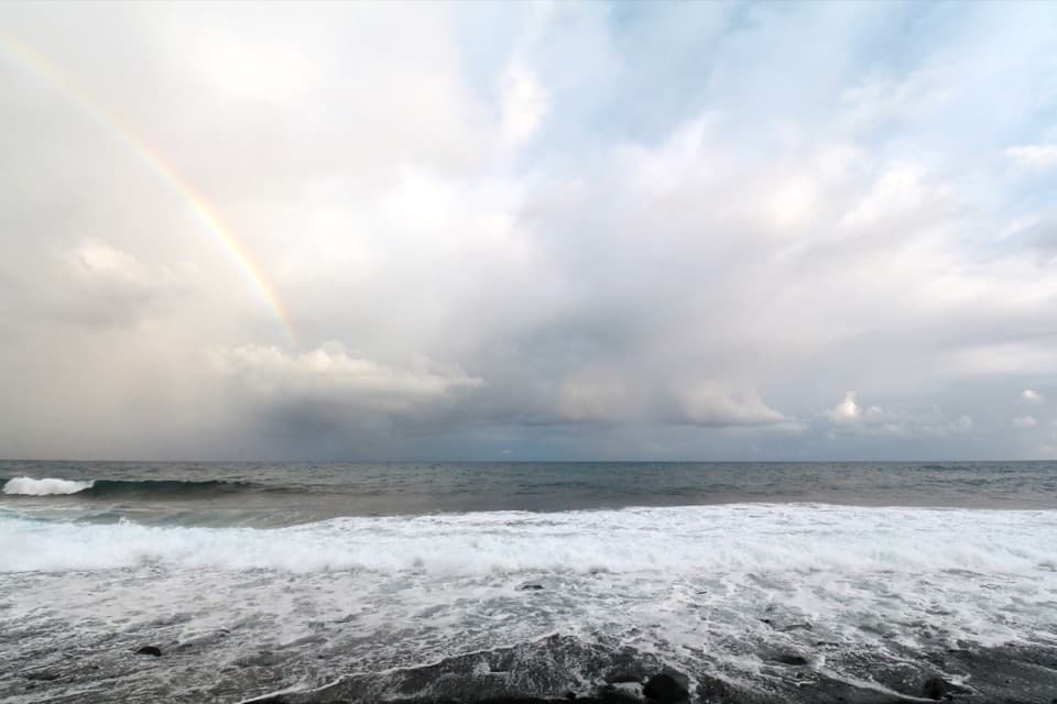
- Dark sand, green coast and white surf make a distinctive cove.
Heads up
- The short route down is steep and uneven, with rough surf below.
Map
Where it is

The highest, rockiest slopes around here are a summer buffet for grizzly bears.
Red Road Tour Guide
Your drive to Kehena Black Sand Beach, narrated.
Parkwolf is a GPS audio tour guide for Red Road (Kapoho–Kalapana Road), Hawaii. As you drive, it chimes in with what’s ahead: hidden gems, upcoming stops, history, geology, and wildlife, right through your car’s speakers.
Recorded for this place
Kehena from Above“Up ahead is Kehena Black Sand Beach, a narrow cove below the road. Its black sand came from Kīlauea's nineteen fifty-five eruption.”
Plays as you drive up to Kehena Black Sand Beach in the Parkwolf Red Road Tour Guide.
More stories near here in the app
- Kalani's Hale Aloha Break
- Why Lava Looks Like Rope
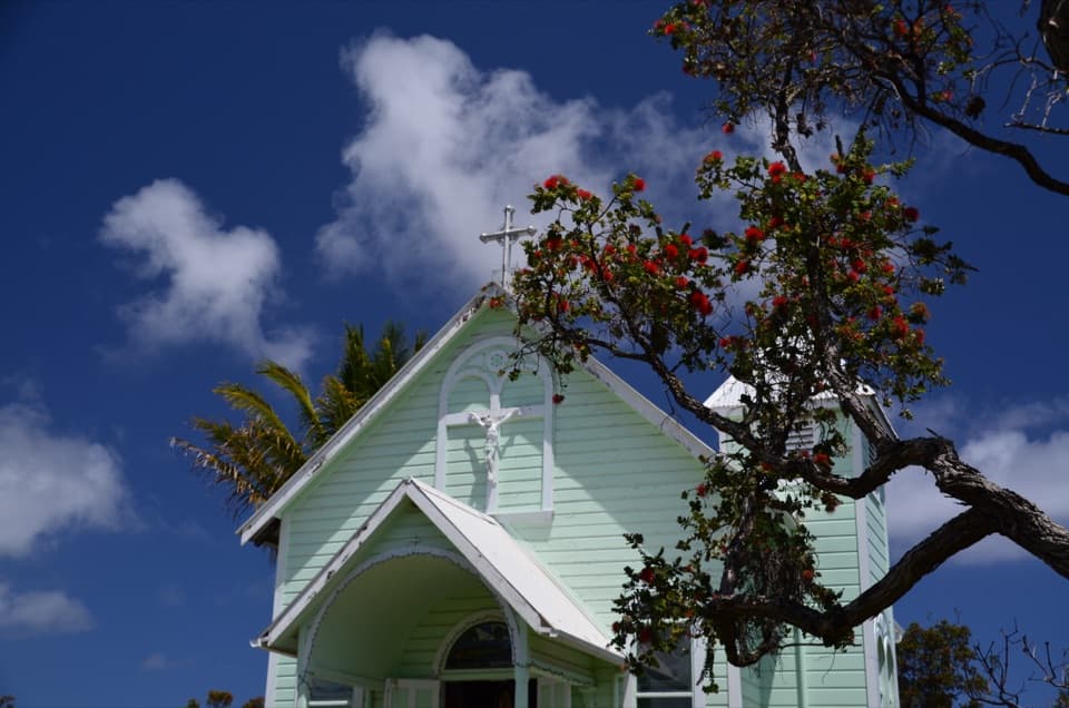
- Star of the Sea's Painted Interior
- The Frog Behind the Nighttime Whistle
- 9 audio storiesacross Red Road’s roads, triggered by GPS as you drive
- Wildlife heatmapsfor Gold Dust Day Gecko, Coqui Frog, Shingle Urchin, and 4 more
- Works offlinemaps, 2 trails, 7 places, and audio download before you lose signal
- CarPlay readysimple controls built for the drive
“Fantastic app with many points of information… It’s great to just turn on while you’re driving and it gives you an audio tour of the national Park. We love it!!!!”


Guide
More about Kehena Black Sand Beach
A narrow cove below Red RoadSet below Highway 137 near mile marker 19, Kehena is a narrow cove between coastal greenery,…
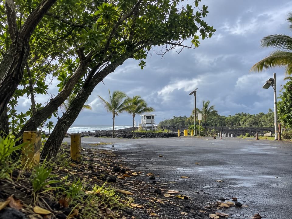
Set below Highway 137 near mile marker 19, Kehena is a narrow cove between coastal greenery, black lava and the open Pacific. Keep it on your drive for the dark shore and bright surf; the rough, steep route down is a real commitment, so the road-level lookout can be a good stop on its own. A small mapped parking area sits above the beach, though its current capacity and roadside rules are unclear.
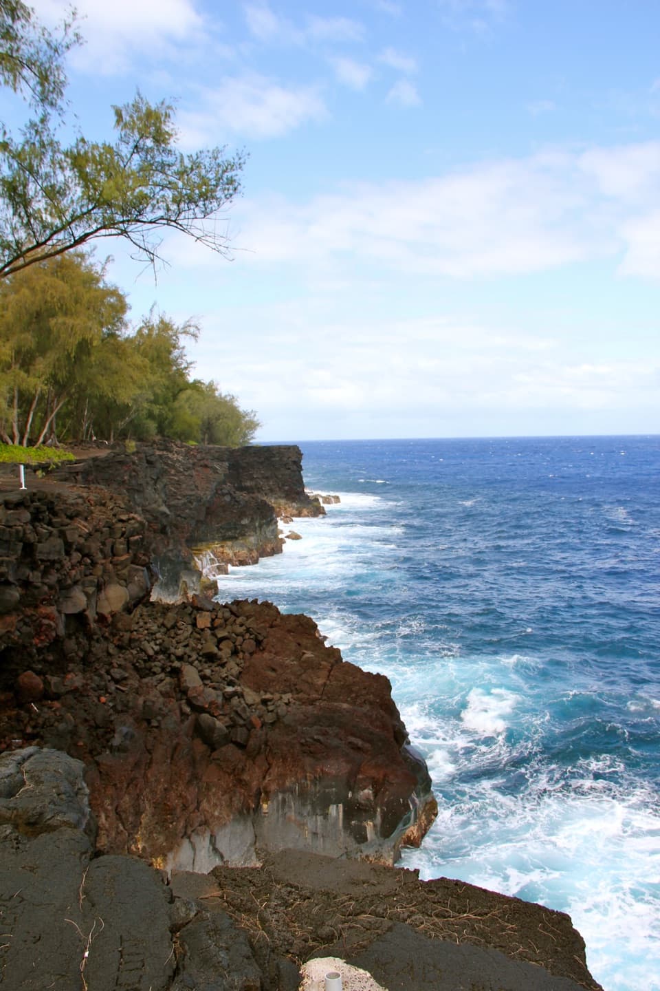
Getting to the sandThe approach is short, but it drops over uneven lava rock and roots.
The approach is short, but it drops over uneven lava rock and roots. Wear sturdy shoes and descend only if your footing is secure; the last step can be close to incoming waves, especially at high tide. The path is not wheelchair accessible, and some visitors turn around at the top. The road-level viewpoint avoids the scramble.
Watch the waterWaves can be powerful and unpredictable, and there is no lifeguard at the beach.
Waves can be powerful and unpredictable, and there is no lifeguard at the beach. Treat this as a place to look at the ocean rather than a dependable swimming beach. Stay off low lava when surf is reaching the shore. There are no formal beach restrooms or showers and no dependable services, so bring what you need and pack out rubbish.
Know the beach's atmosphereKehena has a mixed, clothing-optional atmosphere.
Kehena has a mixed, clothing-optional atmosphere. Nudity is common, though many visitors stay clothed, so this can catch families and others by surprise. It is useful to know before deciding whether to go down to the sand.
A coastline made by lavaKīlauea's 1955 East Rift Zone eruption sent lava to the coast and created Kehena's black sand.
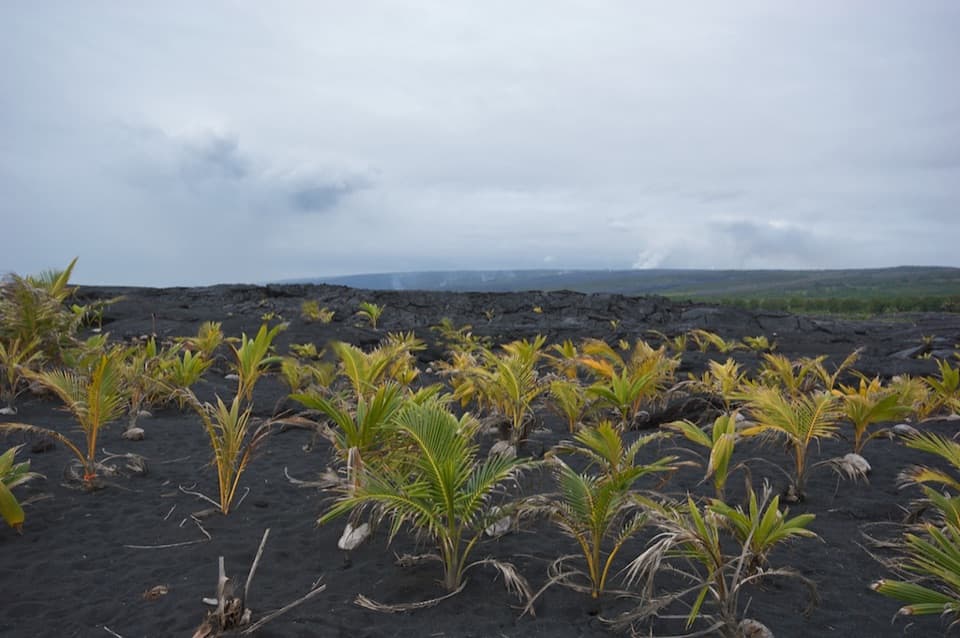
Kīlauea's 1955 East Rift Zone eruption sent lava to the coast and created Kehena's black sand. The 88-day eruption included four phases, and one flow reached the ocean and destroyed coastal homes. Kehena is one of the few remaining beaches on a stretch of Puna where lava has covered other shoreline and settlements.
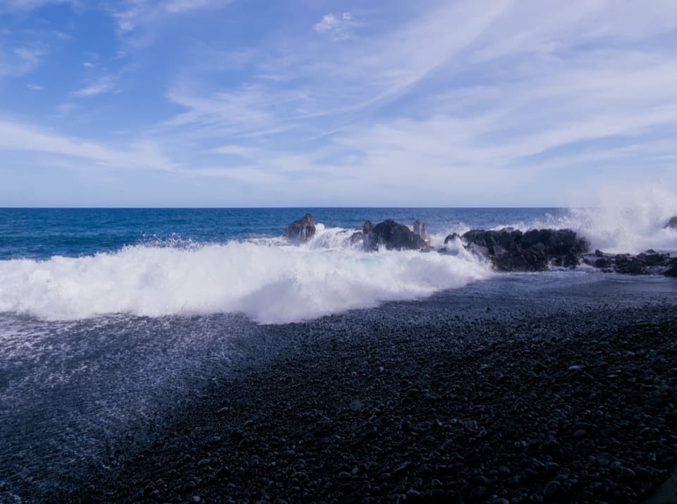
The view from above still worksFrom the roadside lookout, frame the narrow dark beach between the green coastal edge and the…
From the roadside lookout, frame the narrow dark beach between the green coastal edge and the open water. From the sand, black pebbles, white foam and the low lava-rock point show the cove's shape; stay well above the wave line when choosing a photo position.
Wildlife
Wildlife in Red Road
 57 sightingsGold Dust Day GeckoMost seen around 11 AMSighting map
 14 sightingsCoqui FrogMost seen around 9 PMSighting map
 13 sightingsShingle UrchinMost seen around 10 AMSighting map
 20 sightingsSally Lightfoot CrabMost seen around 6 AMSighting map
 21 sightingsGolden PloverMost seen around 8 AMSighting map
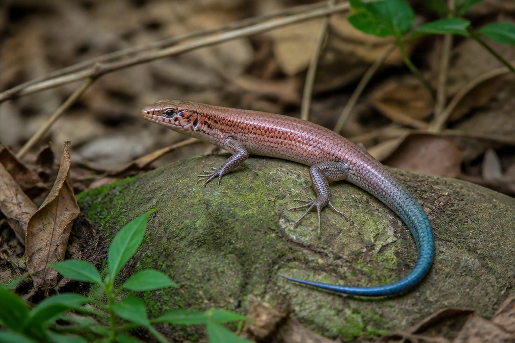 10 sightingsAzure-tailed SkinkMost seen around 11 AMSighting map
Sighting maps show where each species has been reported across Red Road. Wildlife moves, so no sighting is guaranteed.