1 active Red Road alert
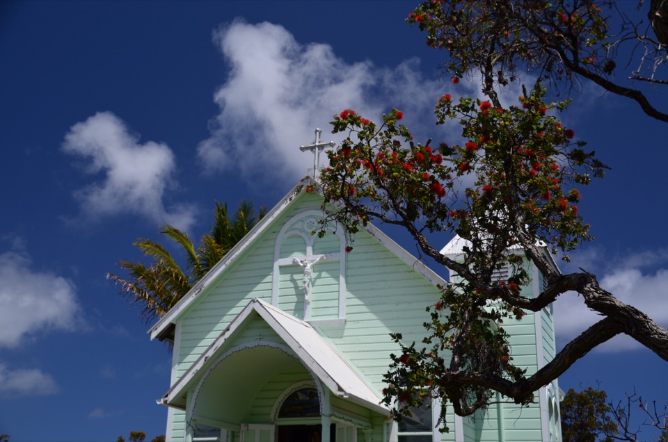
- ClosureHighway 137 (Red Road) closed between Kapoho and PohoikiDo not enter the 3.6-mile Highway 137 (Red Road) segment connecting Kapoho to Pohoiki; it is closed to the public as an active construction zone.Official details
#1 of 5 sights in Red Road
Beach · Red Road (Kapoho–Kalapana Road), Hawaii
A young black-sand coast shaped by Kīlauea’s 2018 eruption.
Overview
Map
Plan your stop

The highest, rockiest slopes around here are a summer buffet for grizzly bears.
Red Road Tour Guide
Parkwolf is a GPS audio tour guide for Red Road (Kapoho–Kalapana Road), Hawaii. As you drive, it chimes in with what’s ahead: hidden gems, upcoming stops, history, geology, and wildlife, right through your car’s speakers.
Recorded for this place
Pohoiki's Young Black Sand Beach“You're coming up on Pohoiki Black Sand Beach, where a short walk from the parking area takes you to a shoreline made in twenty eighteen.”
Plays as you drive up to Pohoiki Black Sand Beach in the Parkwolf Red Road Tour Guide.
More stories near here in the app
“Fantastic app with many points of information… It’s great to just turn on while you’re driving and it gives you an audio tour of the national Park. We love it!!!!”


Guide
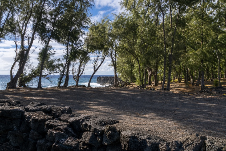
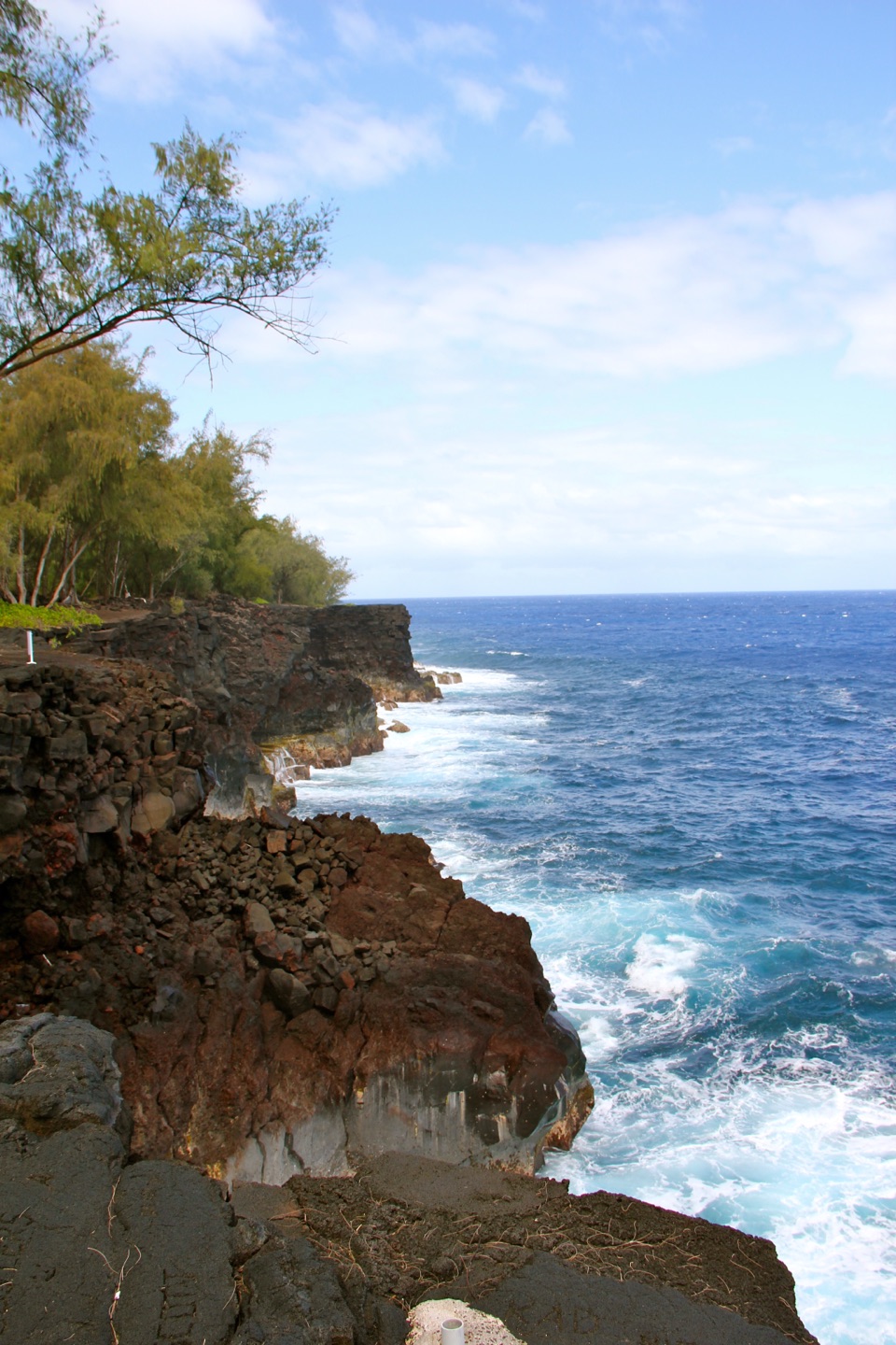
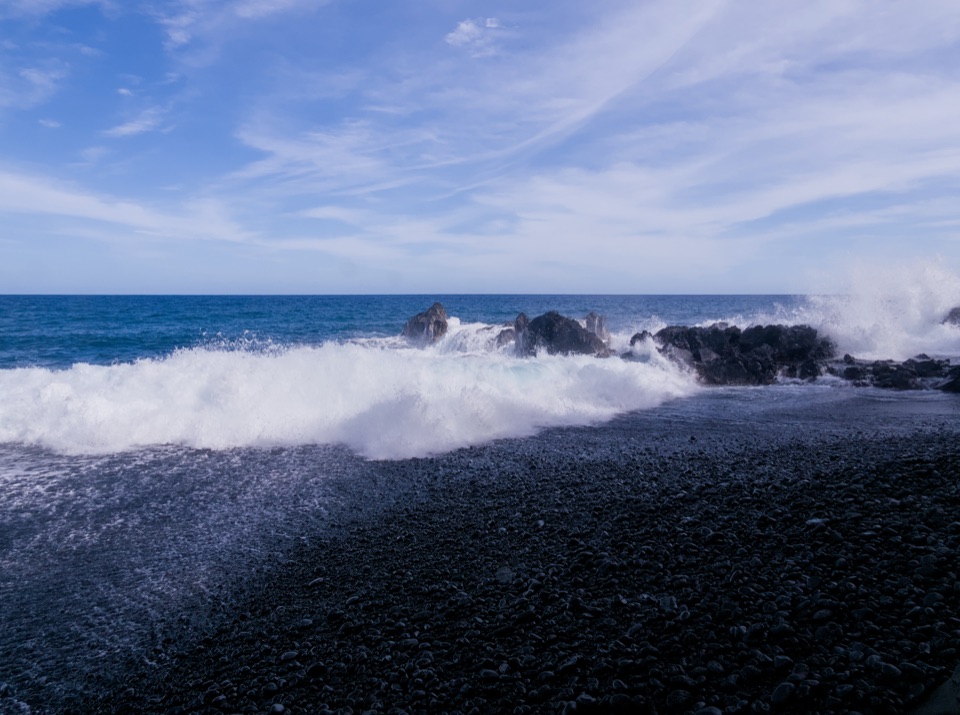
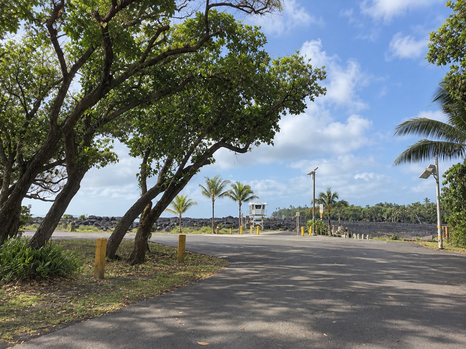
Pohoiki Black Sand Beach is a small, young shoreline on Pohoiki Bay, inside Isaac Kepoʻokalani Hale Beach Park in lower Puna. Keep it for the dark sand, raw lava coast and a close look at a landscape still being made. A short walk from the parking area reaches the shore, where the black beach meets open surf.
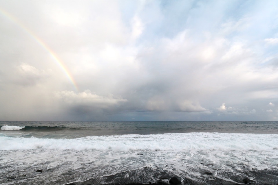
This is exposed coastline with a steep shore break and strong currents. Plan on walking the sand and watching the waves; the ocean here can be dangerous for casual swimming. Lifeguards serve the county park, but conditions can still be rough. The wider park also has warm ocean ponds. Check posted county guidance before entering them, since their current access and water safety haven't been established here.
From Pāhoa, approach by Highway 130 and turn onto Highway 137 toward the coast; Highway 132 is not the route to the park. The drive through lower Puna is part of the outing, and nearby services are limited. The park has parking, restrooms, a pavilion and barbecue grills. Bring food and drinking water; a public water tap or food counter isn't listed. The exact restroom type isn't clear. Water shoes can help on the rough, rocky shore.
Kīlauea's 2018 Lower East Rift Zone eruption sent lava into the ocean near Pohoiki. The lava broke apart in the water, and coastal currents carried the fragments into the bay, where waves ground them into black sand. The beach formed over weeks and months, not in one dramatic instant. Waves continue to move that loose material, so the shore's outline keeps changing.
Pohoiki is part of a traditional Hawaiian ahupuaʻa, a land division with strong ties between uplands and coast. Local oral histories describe families maintaining fishing stations for ʻopelu along this coast; ʻopaeʻula shrimp from nearby Keahialaka Pond were used as bait. The county park honors Private Isaac Kepoʻokalani Hale, whose family has deep roots in the area. The black beach is new, but Pohoiki's connection to fishing and family stewardship is much older.
From the black sand, put the dark beach and lava boulders in the foreground, with surf behind them. Include the lifeguard tower and palms farther back for scale and a sense of where you are. The shoreline keeps shifting, so the contrast between sand and rough lava is part of what makes this particular coast worth photographing.
Wildlife
 57 sightingsGold Dust Day GeckoMost seen around 11 AMSighting map
 14 sightingsCoqui FrogMost seen around 9 PMSighting map
 13 sightingsShingle UrchinMost seen around 10 AMSighting map
 20 sightingsSally Lightfoot CrabMost seen around 6 AMSighting map
 21 sightingsGolden PloverMost seen around 8 AMSighting map
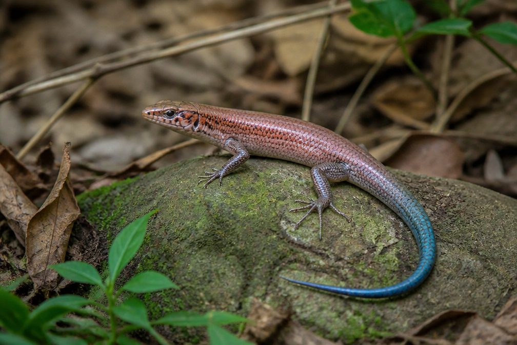 10 sightingsAzure-tailed SkinkMost seen around 11 AMSighting map
Sighting maps show where each species has been reported across Red Road. Wildlife moves, so no sighting is guaranteed.
Parkwolf’s Red Road ranking

The audio tour guide for the drive, plus offline maps, trails, and wildlife heatmaps for when the signal drops.