
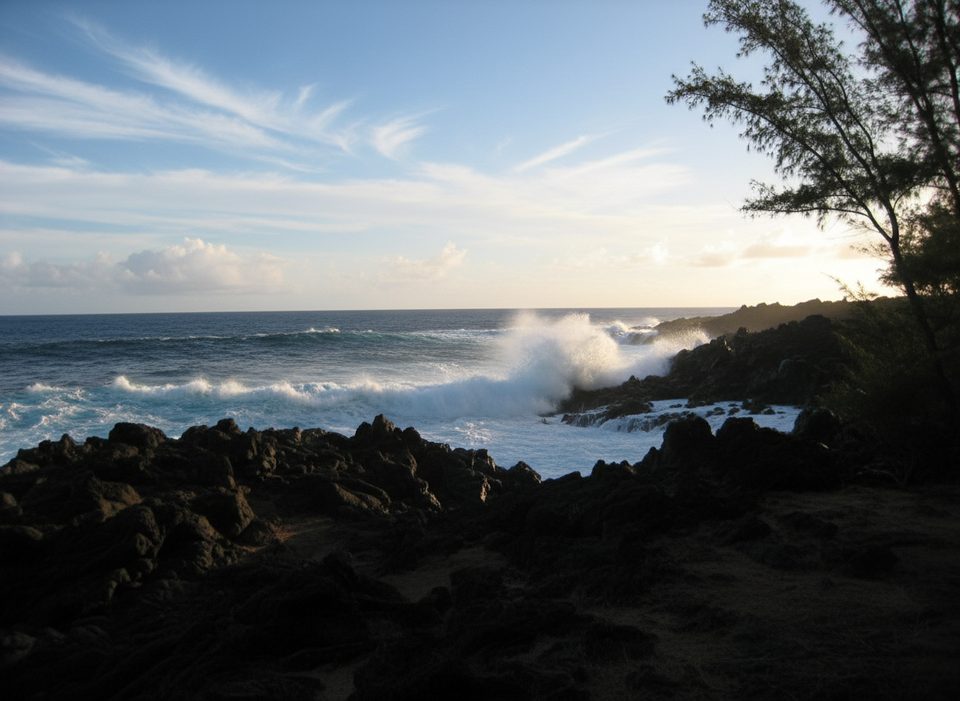
Place · 4 mi away
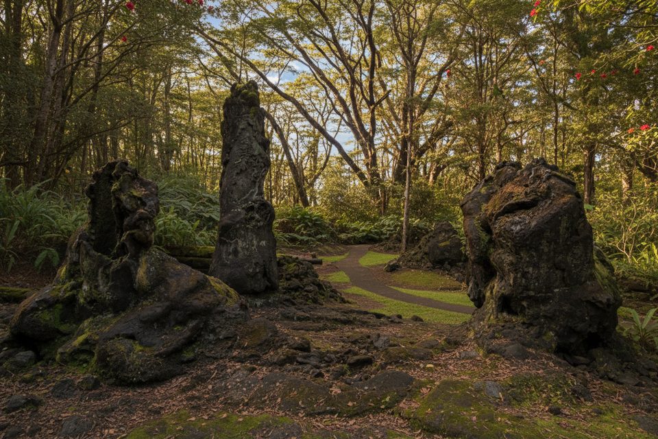
A compact, 17‑acre pocket of Puna forest where a centuries‑old lava flow left hollow casts of ʻōhiʻa trunks. It’s a quick, satisfying detour if you’re curious about volcanoes and want a low‑effort walk that still feels otherworldly.
The loop passes dozens of “lava trees” — vertical molds where hot lava encased living trunks and later drained away. Many are moss‑carpeted, some broken, and a few still show bark textures inside. Between the molds, look for lush ferns, new ʻōhiʻa growth, and occasional wild orchids. Birds, frogs, and even small lizards often make cameo appearances.
A paved 0.7‑mile loop (plan 30–40 minutes) starts right by the parking area and winds past the best examples near the beginning. You’ll find restrooms, picnic tables, and covered shelters, but no water fountains — bring your own. Entry and parking are free, and the park is open roughly 7:00 am to 6:45 pm.
Around the late 1700s, a Kīlauea flow rolled through an ʻōhiʻa forest. Moisture in the trees cooled the encasing lava into shells; when the flow drained and the wood decayed, it left these eerie basalt tubes. The park closed briefly during the 2018 eruption but the molds remain intact — a reminder that this landscape is still very much alive.
Stay on the paved path. Off‑trail vegetation hides cracks and unstable lava, and the molds are fragile — don’t touch or climb them. Expect frequent Puna showers; the path can be slick after rain.
Go early morning for soft side‑light on textures and fewer people; midday is the busiest and flattest light. Late afternoon is quieter again, but plan to finish before closing. Weekdays are typically calmer than weekends.
It’s about 2.7 miles southeast of Pāhoa off Highway 132. Many travelers pair this with the coastal drive along the nearby “Red Road” (Highway 137) for sea cliffs and jungle canopies — drive slowly, expect narrow lanes, and limited services.
Place · 4 mi away
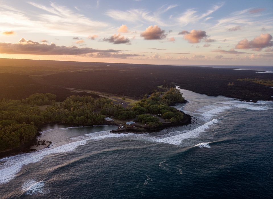
Place · 4.3 mi away
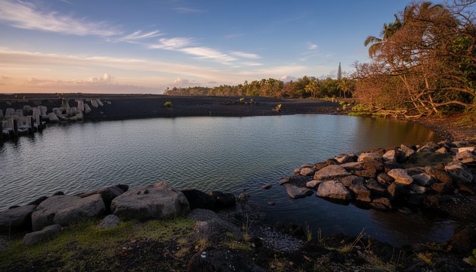
Place · 4.3 mi away
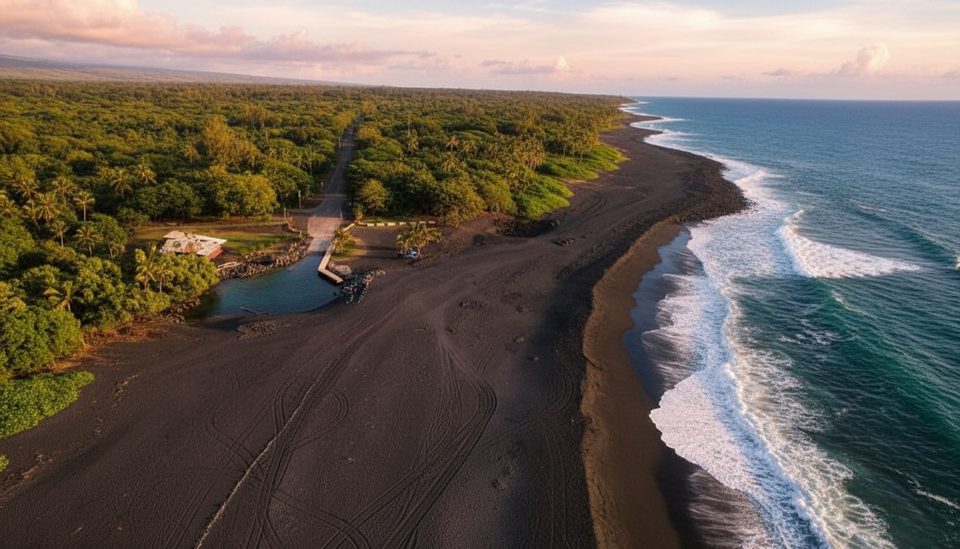
Place · 4.3 mi away
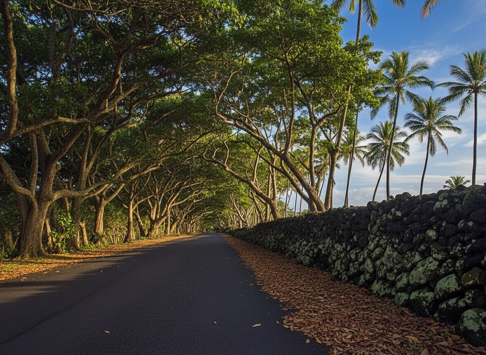
Easy · 4 mi away
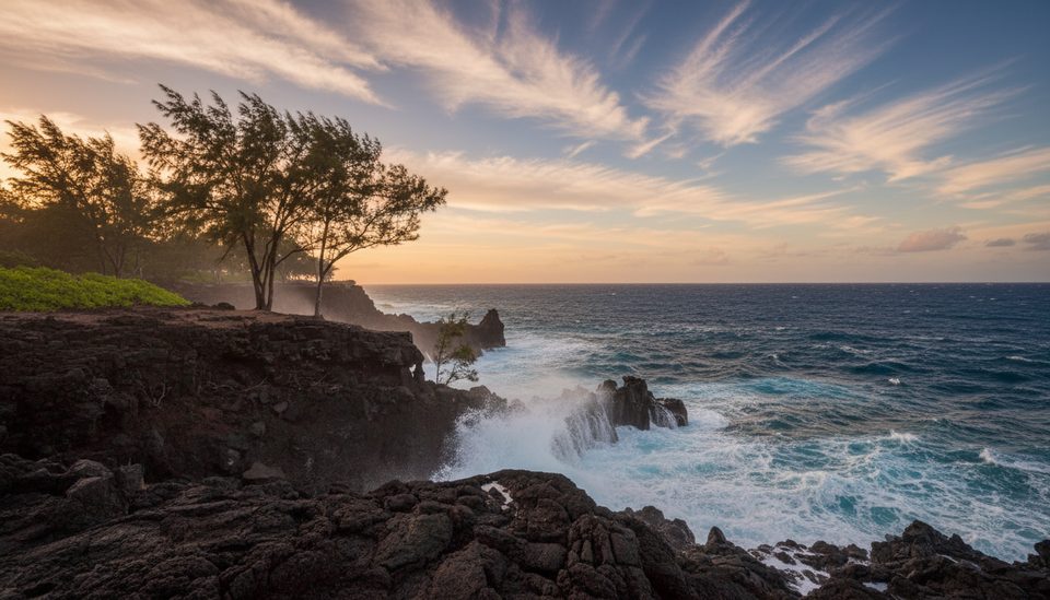
Moderate · 4 mi away
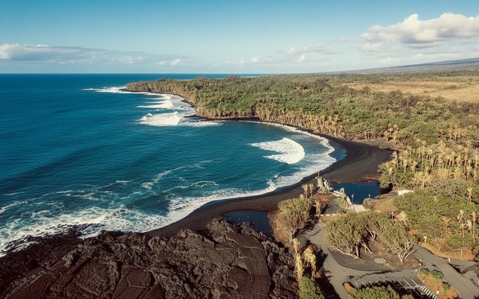
Easy · 4.3 mi away
Moderate · 6.4 mi away

Parkwolf Tour Guide
