Pros & cons
PROS
- Dramatic black-lava coastline and sweeping ocean views
- Living taro fields and a historic 1850s stone church
CONS
- No safe ocean swimming
- Limited amenities and can get busy midday
Overview
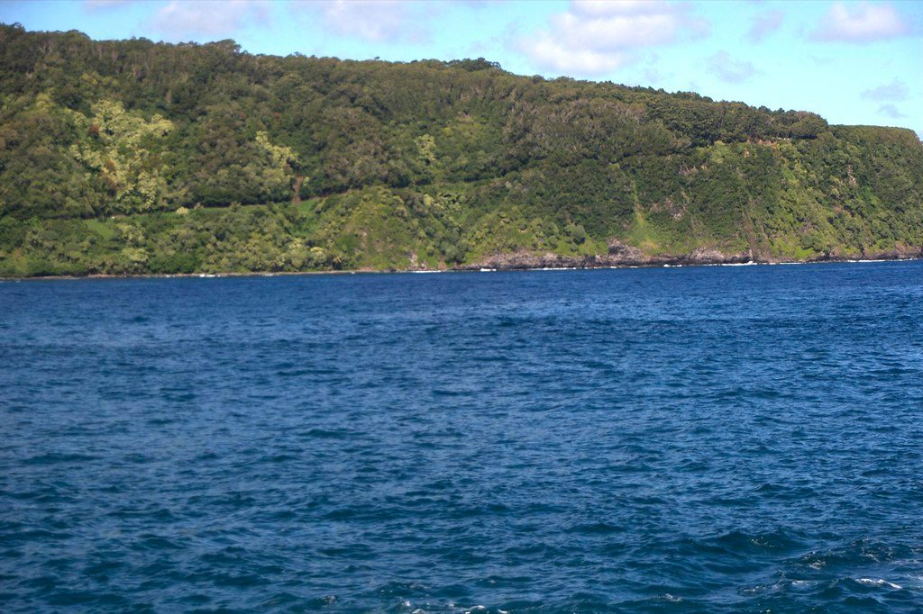
A short detour off the Hana Highway drops you onto Keanae Peninsula, a rugged lava flow jutting into the Pacific. It’s all about raw coastline, crashing surf, and a snapshot of traditional rural life—taro fields, a small village, and a stout lava-and-coral church that survived the 1946 tsunami.
Why stop here
If you want more than another quick overlook, this is the cultural-and-scenic combo you’re after. The jagged black shoreline photographs beautifully, the taro patches are a living link to old Hawai‘i, and the historic Keanae Congregational Church near the water ties it all together.
What you’ll see
- Black lava rocks and powerful waves hammering the coast
- Traditional taro fields and a quiet village scene
- The mid-19th-century stone church that famously withstood the 1946 tsunami
- A shady beach park area that’s ideal for lingering out of the sun
Wildlife and nature
Look for tidepool critters like small fish and crabs along the rocky edges, and keep an eye out for birds around the taro fields and shoreline. The ocean here is rough—great for photos, not for swimming.
Practicalities
- Restrooms are available by the softball/baseball field at Keanae Park
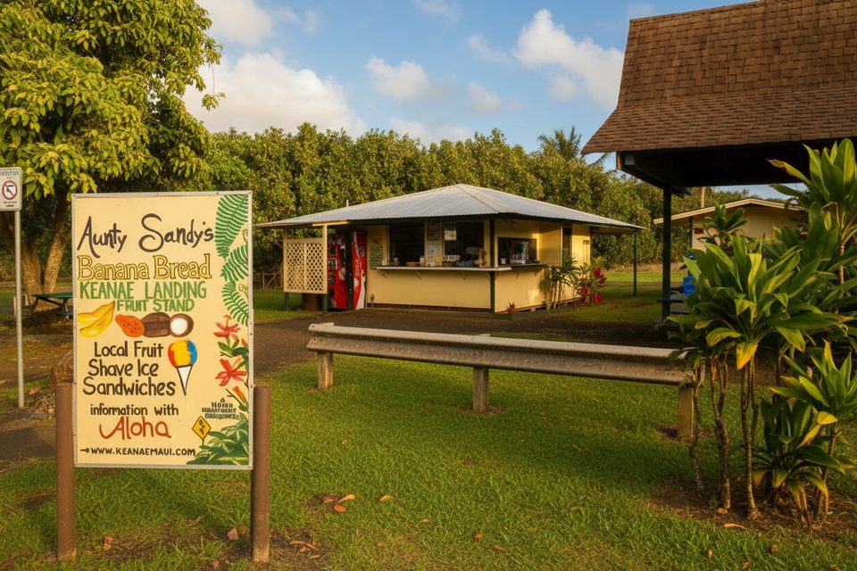
- Expect basic facilities; food is limited to roadside stands (banana bread is the local favorite)
- Little to no cell service—plan your route and timing ahead
- The detour is quick (about 15 minutes round-trip) but drive slowly; the road is narrow and winding
History in brief
The peninsula was formed by lava from Haleakalā and later transformed into fertile taro land. In 1946, a devastating tsunami destroyed much of the village; the stone church remained, becoming the area’s enduring landmark and story.
Best time to visit
Early morning is the sweet spot—cool temps, soft light for photography, and far fewer people. Sunrise can be spectacular. By late morning and midday, crowds build around the shore and food stands.
Where it is
20.8614, -156.1445Tips for Ke'anae Peninsula
- 01Arrive near sunrise for softer light and a quieter experience.
- 02Drive slowly on the narrow turnoff road and through the residential village.
- 03Bring cash for the banana bread stands—cards aren’t guaranteed.
- 04Do not swim; the rocky shoreline and strong waves are hazardous.
- 05Download maps in advance—cell service is minimal to none.
Amenities
Near Ke'anae Peninsula
All places →All trails →
0.2 mi awayAunty Sandy’s Banana BreadWarm, legendary banana bread on the scenic Ke‘anae PeninsulaFood · Parking
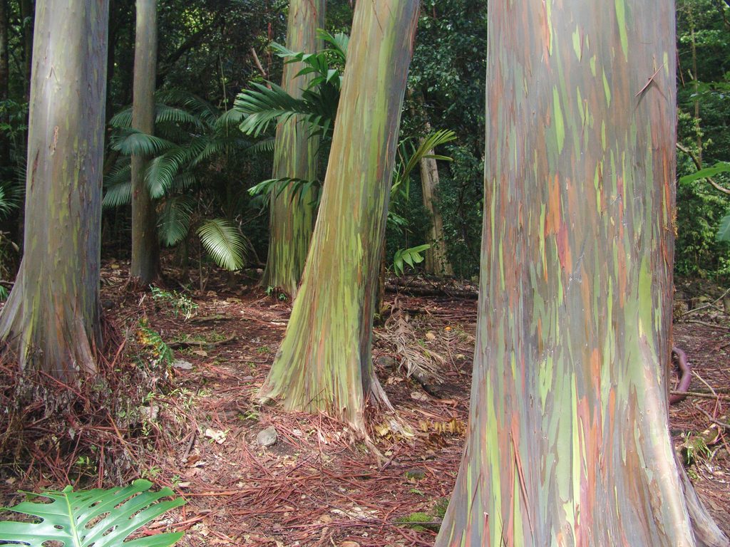
0.4 mi awayKeʻanae Arboretum TrailShady botanical stroll with rainbow eucalyptus and taro terracesEasy · 0.6 mi · 30 min
0.4 mi awayKe'anae ArboretumQuick, free stroll with photogenic rainbow eucalyptusTrailhead · Pullout
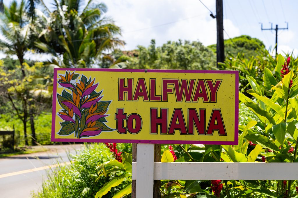
0.6 mi awayHalfway to HanaBeloved banana bread stand and easy pit stop with parkingPullout · Parking
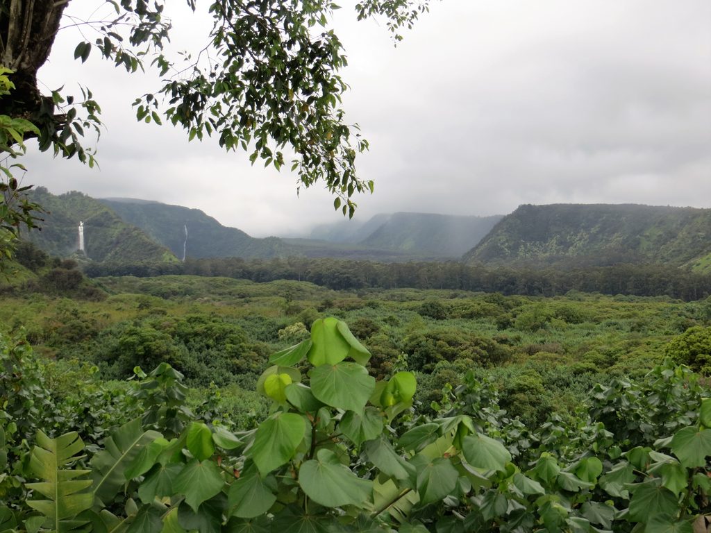
1.5 mi awayWailua Valley State WaysideSmall wayside with sweeping ocean and valley views in both directionsPullout · Parking
1.7 mi awayKaumahina Wayside Loop TrailQuick rainforest leg-stretcher with big ocean views and bathroomsEasy · 0.5 mi · 30 min
2 mi awayUpper Waikani Falls Trail (Three Bears Falls)Iconic roadside triple falls with a short, slippery scramble to pool.Easy · 0.1 mi · 30 min
2.9 mi awayWaikamoi Ridge TrailShady, ferny leg-stretcher into real Hana rainforestEasy · 1 mi · 45 min