
Place · 0.2 mi away
Moderate
This moderate hike links the Bear Lake Trailhead to Bierstadt Lake over 4.4 miles total (out-and-back). You’ll climb the Bierstadt Moraine for peeks at Hallett Peak and Flattop Mountain, then wind through evergreen forest to a quiet, shallow lake ringed by sedges. Expect some rocky tread and altitude to make the early climb feel punchier than it looks on paper.
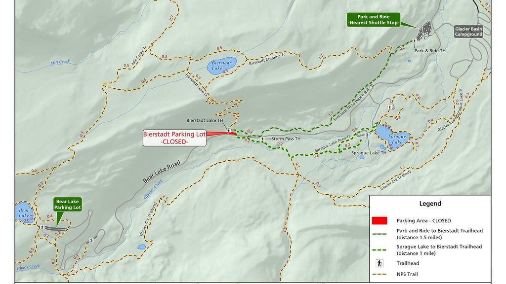
From the Bear Lake Trailhead (end of Bear Lake Road, roughly 9 miles from Highway 36), start on the Bear Lake Loop and follow signs toward Bierstadt Lake. The classic out-and-back is 4.4 miles total with about 630 feet of cumulative gain, topping out near 9,760 feet from a 9,475-foot start. For an easier day, make it a point-to-point: Bear Lake to Bierstadt Lake, then descend to the Bierstadt Lake Trailhead and use the shuttle back. That through-hike is roughly 3.5 miles total and keeps overall elevation gain lower if you start at Bear Lake.
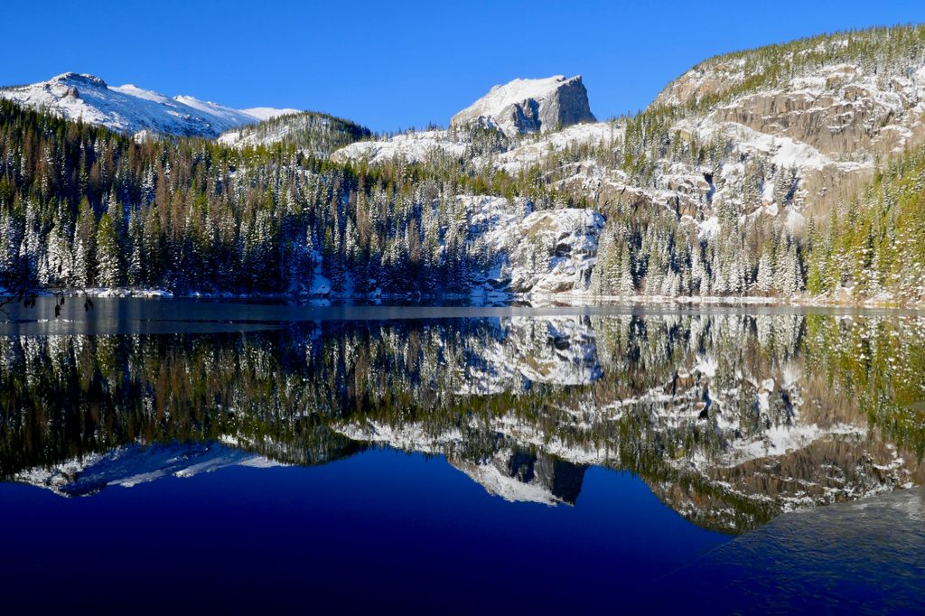
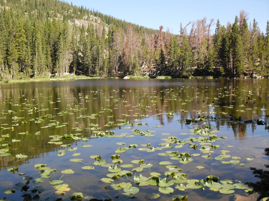
Bierstadt Lake sits atop a forested glacial moraine—material bulldozed and left by long-gone ice. The lake is shallow, fed only by snowmelt and rain, with no inlet or outlet, so its edges are marshy and dotted with lily pads. The north shore offers the big show: panoramic Continental Divide views that can include Longs Peak, Hallett Peak, and Flattop Mountain. Around the water, look for amphibians and waterfowl; mosquitoes can be active. The moraine and adjacent slopes host subalpine spruce–fir and lodgepole forest, with nice pops of aspen color in fall.
This corridor is wildly popular. Go early or late in the day for calmer winds and easier parking, or plan on using the shuttle. Summer and early fall have the most reliable trail conditions, with the best light on the Divide in the morning or golden-hour evenings. Expect snow and ice on and off from late fall through spring; traction can be essential in those seasons.
Yes—this is a mellow, view-rich sampler of the Bear Lake Road high country without committing to a big alpine climb. The tradeoff is crowds. If you want an even shorter but steeper approach, the lower Bierstadt Lake Trailhead gets you there fast via switchbacks; otherwise, starting at Bear Lake for a mostly downhill one-way is the crowd-savvy move.
Park at the Bear Lake Trailhead at the end of Bear Lake Road (fills early). In peak season, use the Park & Ride and shuttle system; a shuttle stop and a vault toilet are available at the lower Bierstadt Lake Trailhead for an easy point-to-point return.
High elevation (around 9,500–9,700 ft) can make the early climb feel tough; storms build fast in summer; snow/ice is common outside mid-summer; mosquitoes at the lake; rocky sections; watch for horses and multiple junctions—carry a map.
Place · 0.2 mi away
Place · 0.3 mi away
Place · 0.3 mi away
Place · 0.4 mi away
Moderate · 0 mi away
Challenging · 0 mi away
Easy · 0 mi away
Moderate · 0 mi away

Parkwolf Tour Guide
