
Place · 0.1 mi away
Moderate
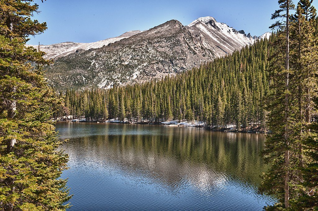
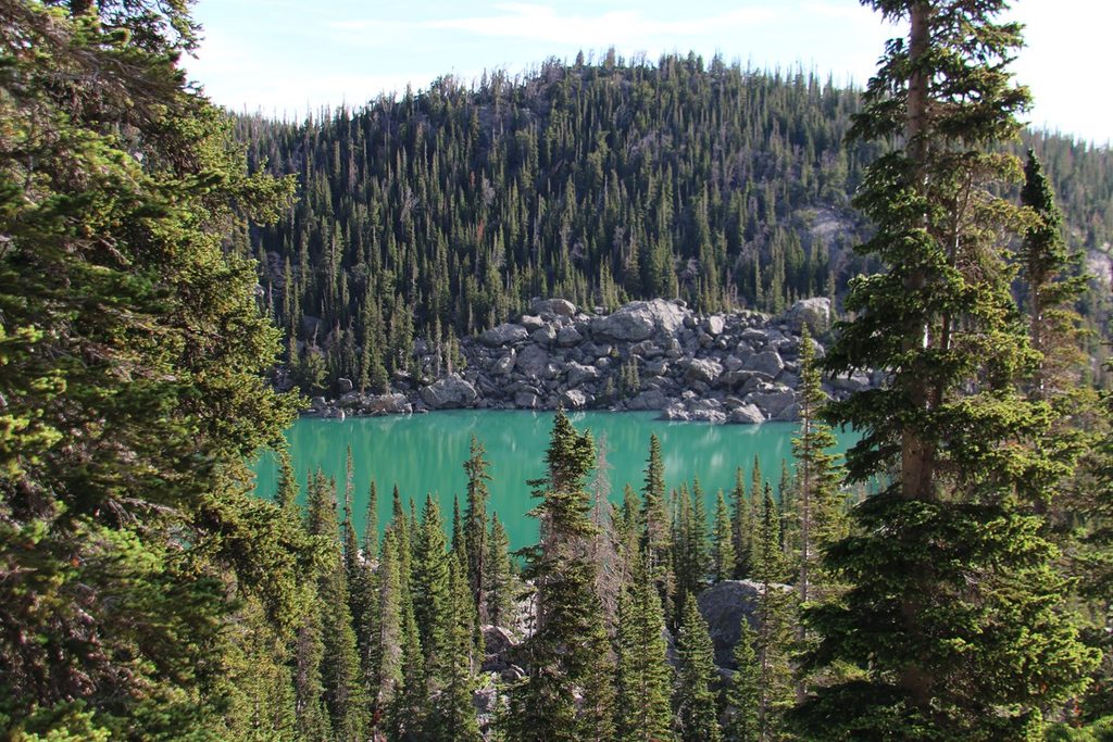
This is the Rocky Mountain National Park sampler: a well-loved out‑and‑back that threads past a roaring waterfall, up a glacially carved gorge, and lands you at a glassy subalpine lake ringed by big peaks. Expect roughly 5.2 miles total (round trip) with about 700–800 feet of gain—moderate overall, but the altitude makes it punchier. From the lake’s east shore you’ll gaze into the heart of Glacier Gorge, with the Keyboard of the Winds, Pagoda Mountain, Chiefs Head Peak, and Thatchtop framing the scene.
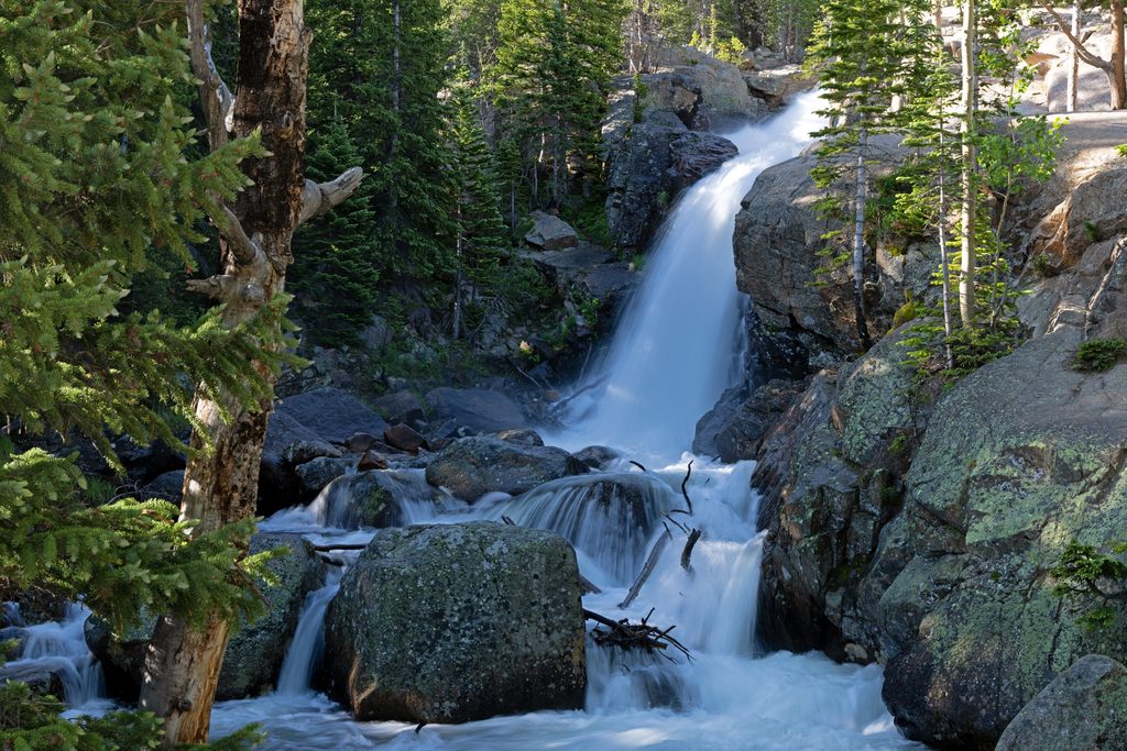
From Glacier Gorge Trailhead, you’ll reach Alberta Falls around 0.8 miles—beautiful and busy. Push beyond the crowds as the trail follows the gorge, crossing Glacier Creek near Glacier Falls before the final approach. Near Mills Lake the path weaves across granite slabs; it’s intuitive in daylight but can feel less defined—note your route for the return. A broad, sun‑warmed rock shelf on the east shore makes a perfect picnic and photo perch.
Want more? Continue just beyond to Jewel Lake for a quieter nook and extra photos, or commit to a bigger day by adding about 1.7 miles one‑way to Black Lake. If you’re linking lake circuits, a variation that includes The Loch bumps the outing to about 6.6 miles total.
Parking at Glacier Gorge fills very early. If it’s packed, start from Bear Lake instead or skip the hassle and use the free Park & Ride shuttle along Bear Lake Road. During peak season, timed‑entry reservations are often required to access the area—plan ahead. A dawn start pays off: cooler temps, better light, fewer people, and a calmer lake surface for reflections.
Late June through October typically offers the most snow‑free tread. This route is gorgeous year‑round if you’re winter‑savvy: expect packed snow/ice and bring microspikes or snowshoes as conditions dictate. Morning light is prime for photography, and summer afternoons often bring fast‑building storms—aim to be off exposed areas by midday.
Altitude (trailhead around 9,200 feet) can make this feel tougher—pace yourself, hydrate, and pack layers. In winter, expect icy sections and be avalanche‑aware in the broader basin. Near Glacier Falls and on the slabby lake approach, stay on the main path and avoid social spurs.
Start at Glacier Gorge Trailhead on Bear Lake Road. Parking is extremely limited and fills early; if full, begin from Bear Lake or use the free Park & Ride shuttle that serves Glacier Gorge/Bear Lake. Timed-entry reservations are often required in peak season.
High elevation, fast-changing weather, and afternoon lightning are common. Winter brings packed snow/ice—microspikes or snowshoes may be needed—and avalanche conditions in the area. Watch for social trails near Glacier Falls and on granite slabs near the lake to avoid losing the route.
Place · 0.1 mi away
Place · 0.5 mi away
Place · 0.5 mi away
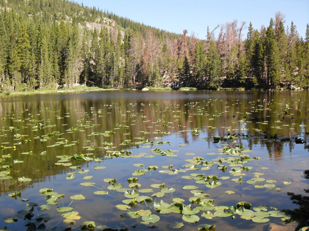
Place · 0.6 mi away
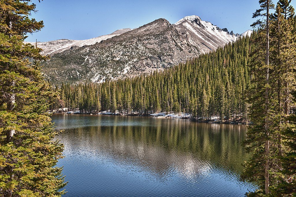
Moderate · 0 mi away
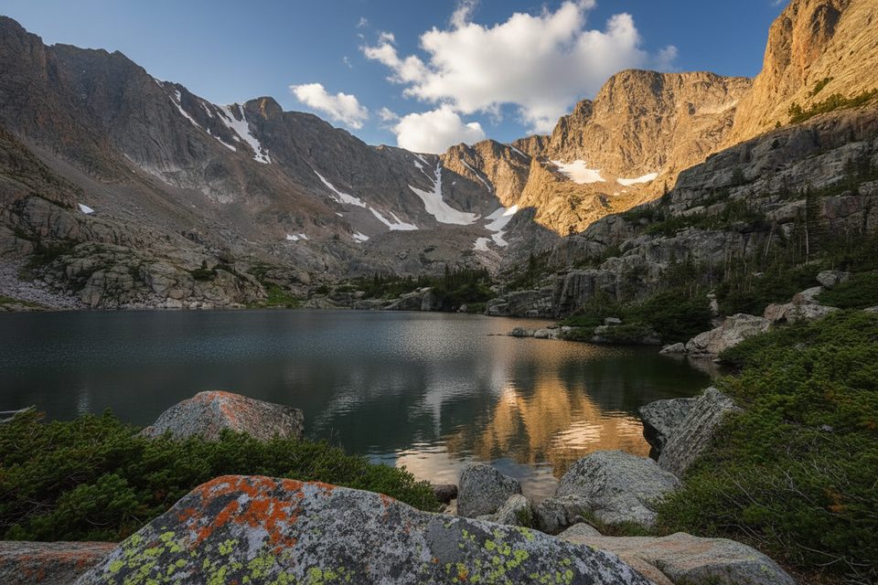
Challenging · 0 mi away
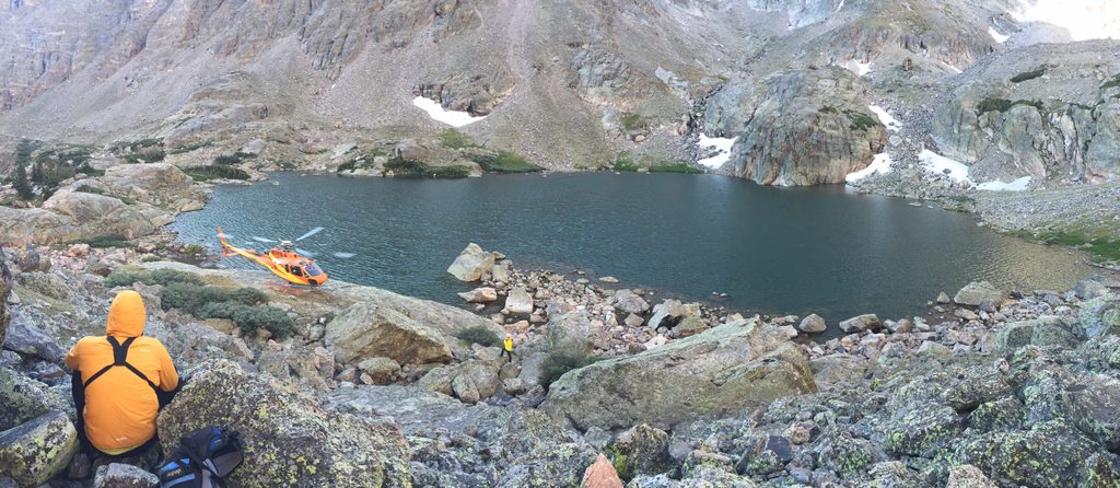
Challenging · 0 mi away
Challenging · 0 mi away

Parkwolf Tour Guide
