
Place · 1.2 mi away
Moderate
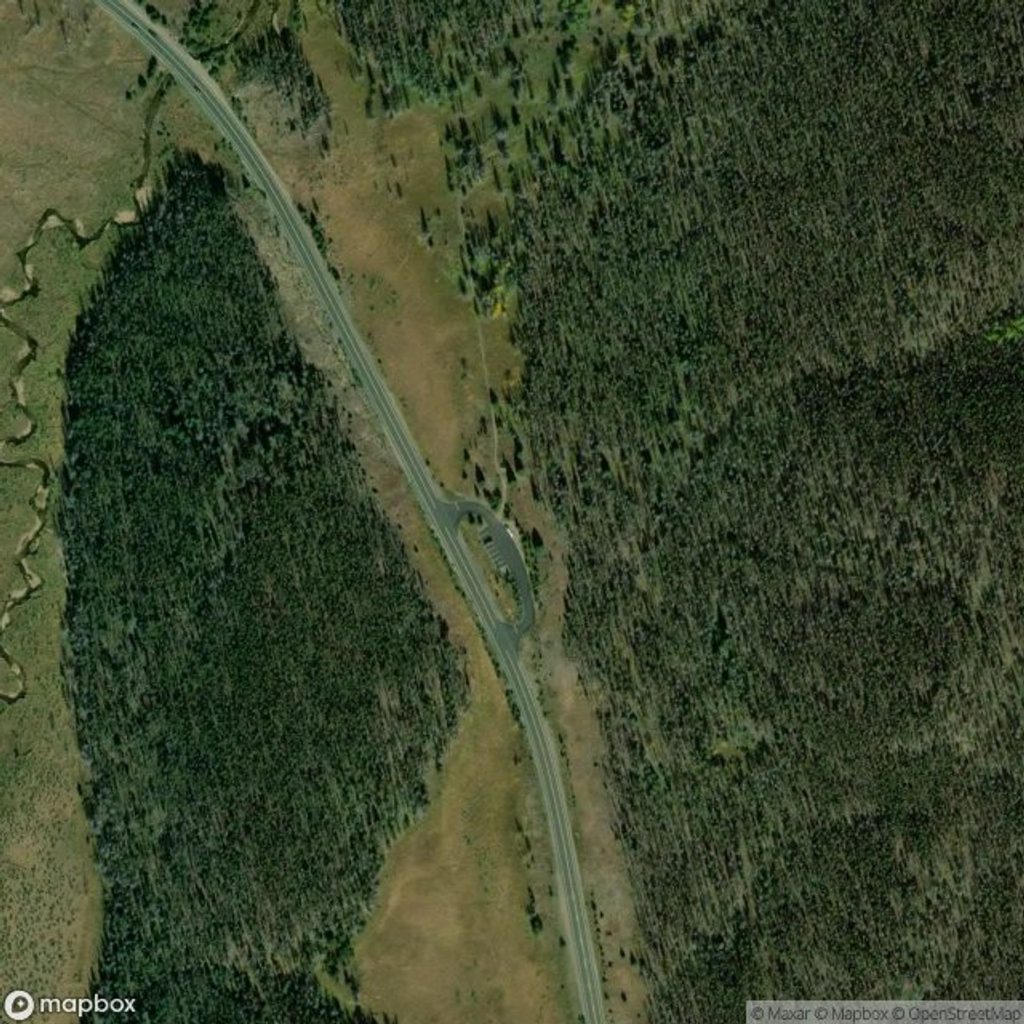
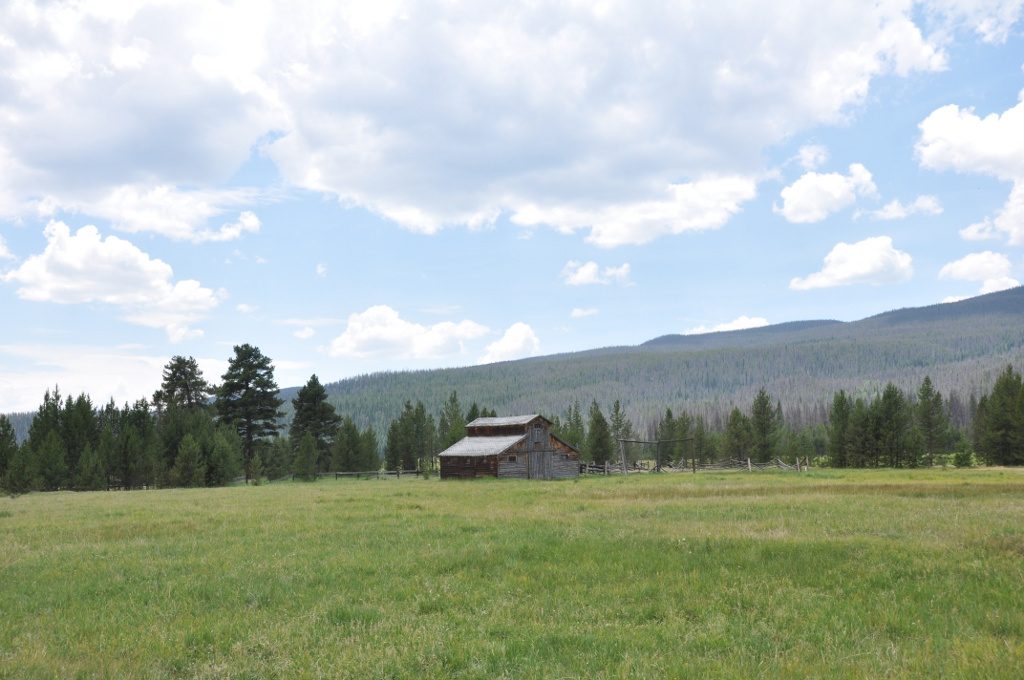
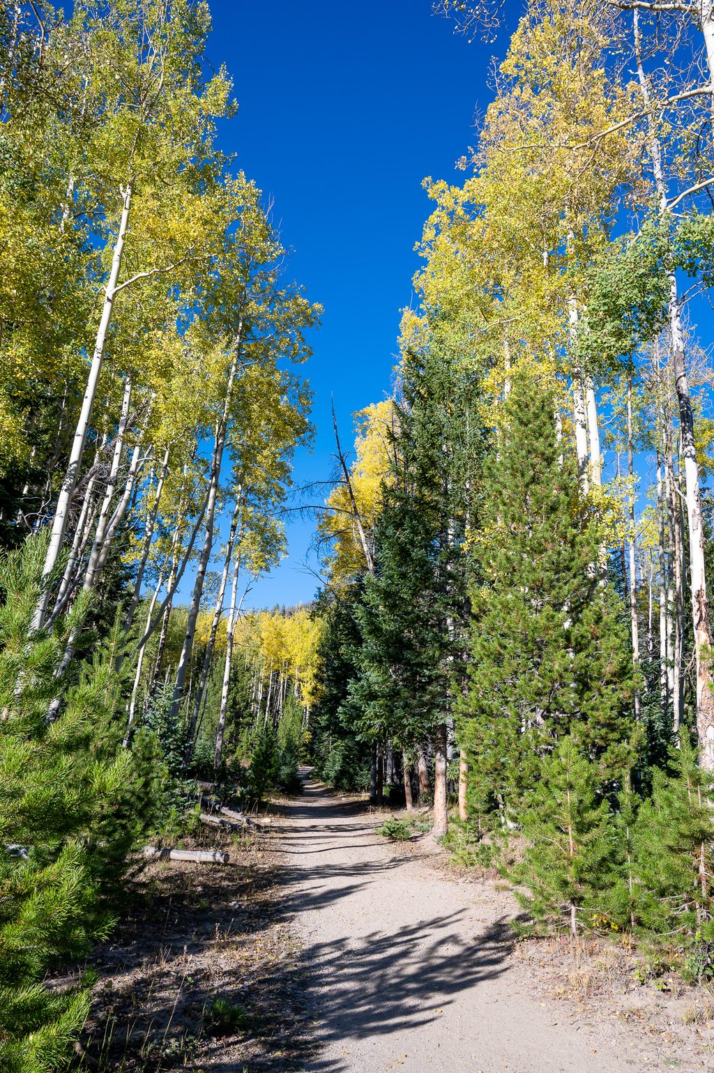
Onahu Creek is the west side’s crowd-pleaser: a moderate, varied route with real wildlife potential and a satisfying sense of journey. Most hikers do the Green Mountain–Tonahutu–Onahu Creek loop (7.4–7.6 miles total, about 1,300 feet of gain), linking two trailheads with a short roadside connector. Expect forest, wide-open meadow, and creekside walking—with a noticeable stretch through the 2020 burn scar that trades shade for big sky.
The classic loop can be done from either Green Mountain or Onahu Creek trailheads (about 0.7 miles apart along US‑34). Clockwise from Green Mountain gives a gentler forested climb to Big Meadows first, then a steeper rise to the Onahu ridge before descending along the creek; counter‑clockwise flips the script and frontloads the sunnier burn. If you prefer fewer horses and a quieter feel, the Onahu side usually has less churned tread. For more solitude, extend up Long Meadows toward the headwaters; the Onahu-only out-and-back to Long Meadows runs roughly 8–9 miles and steeper sections bump the total gain (~1,600 feet). The Onahu Creek Trail by itself is about 4–4.4 miles one way when used as a segment between junctions.
Designated backcountry sites dot the Onahu corridor (Onahu Bridge, Upper Onahu, and Onahu). The Onahu Creek site sits about 2.4 miles from the Onahu trailhead around 9,480 feet with roughly 660 feet of gain. Overnight trips require a permit and reservations; campfires are prohibited, and bear‑resistant canisters are required in season. Dogs are not allowed on these trails.
These trailheads sit on the park’s west side near Grand Lake. Onahu Creek TH is roughly 3.7 miles north of the Kawuneeche Visitor Center; Green Mountain TH has a pit toilet. Parking is usually easier than the east side, but start early in peak season. Timed‑entry reservations and entrance fees are typically required during the main season—check current rules before you go.
May through October is prime. Morning light is gorgeous across Big Meadows, wildlife is more active early and late, and descending the Onahu burn later in the day keeps the sun at your back. In summer, aim for a dawn start to secure parking and dodge afternoon thunderstorms; in spring and late fall, expect snow patches and slower travel.
Yes—especially if you want a classic west‑side sampler with high odds of wildlife and a big‑meadow payoff. It’s not a dramatic summit hike, and the burn area means less shade, but the mix of ecosystems and the loop’s flow make it a repeat‑worthy day out.
Park at either Green Mountain Trailhead (pit toilet) or Onahu Creek Trailhead on US‑34; the trailheads are about 0.7 miles apart, and Onahu Creek TH is roughly 3.7 miles north of Kawuneeche Visitor Center. Arrive early in peak season.
Burn-scar sun and wind exposure, occasional downed trees, steep quarter‑mile climb near the Onahu junction, lingering spring snow obscuring bridges and tread, timed‑entry requirements, and moose—give wide berth.
Place · 1.2 mi away
Place · 1.8 mi away
Place · 2.3 mi away
Place · 2.4 mi away
Moderate · 0.6 mi away
Moderate · 0.6 mi away
Moderate · 0.6 mi away
Challenging · 3.9 mi away

Parkwolf Tour Guide
