
Place · 1.7 mi away
Moderate
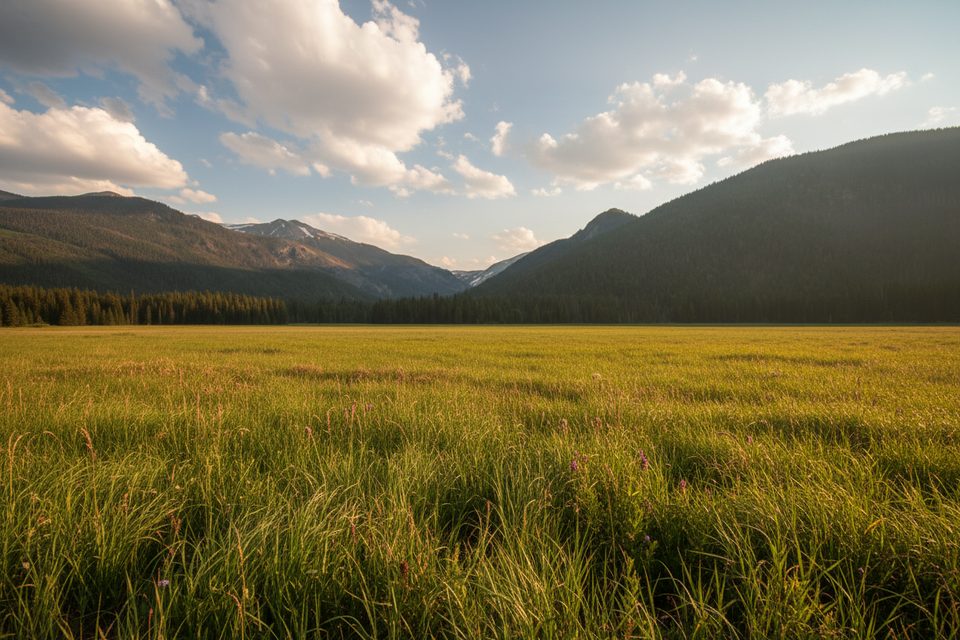
This shorter west-side sampler strings together South Tonahutu, Big Meadows, and the lower Onahu Creek corridor into a bite-size loop. At roughly 4.9 miles total, it’s a great way to taste the meadows, creeks, and burn-scar recovery without committing to the longer 7–9 mile options. Foot and horse use are allowed.
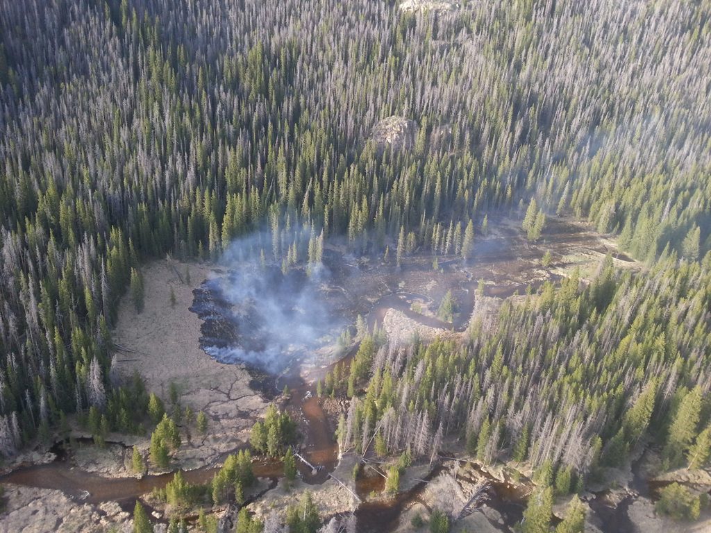
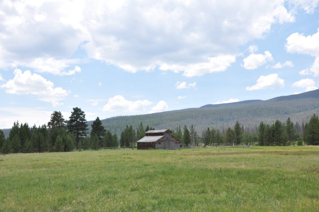
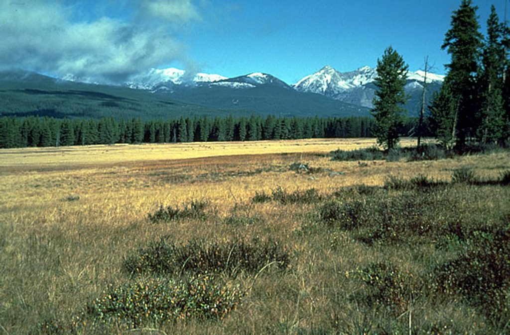
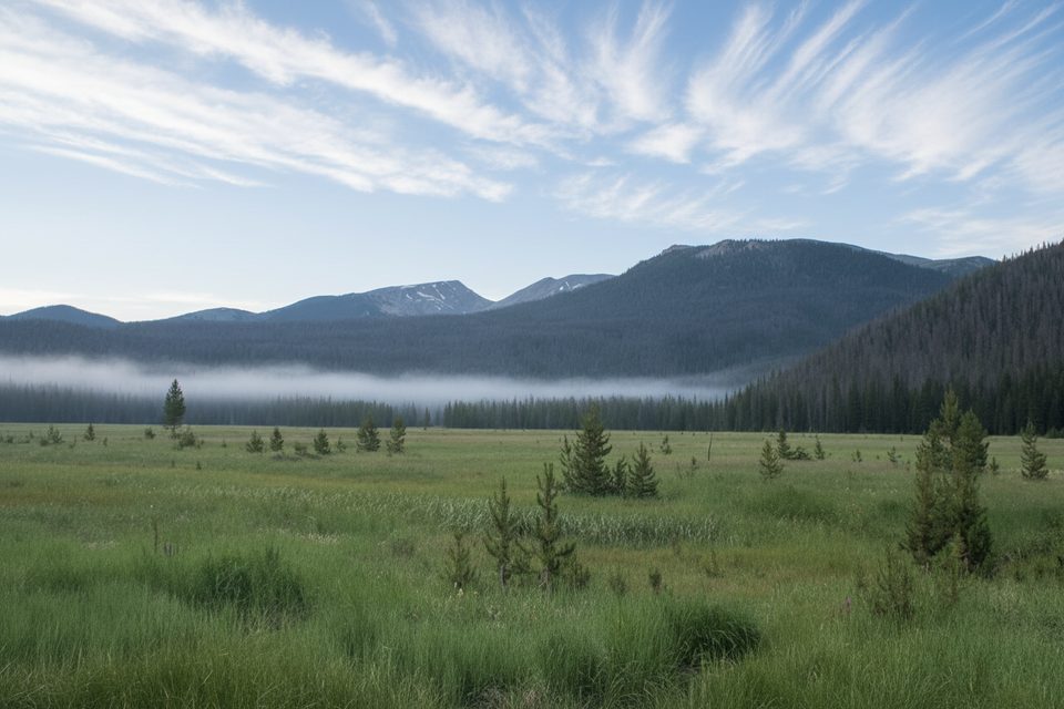
Use the two adjacent trailheads on US‑34 in the Kawuneeche Valley: Green Mountain (for Tonahutu/Big Meadows) and Onahu Creek. A short roadside connection between them makes the loop easy to stitch together from a single parking spot. Expect open views across Big Meadows, gentle creek-side walking, and a stark mix of blackened trunks and bright green understory where the 2020 East Troublesome Fire burned through. It’s an eye-opening look at a recovering landscape and a solid bet for wildlife viewing in the meadows and riparian zones.
Geology fans: the broad, flat “park” of Big Meadows sits in an over-widened glacial valley—classic U-shape with an underfit stream re-occupying the floor. It’s a handy outdoor classroom for reading the valley’s ice-carved past.
Overall, this is a moderate outing thanks to the shorter mileage, but expect some steeper bits on the Onahu side, occasional downed trees, and muddy patches. Trekking poles and bug spray pay off during the melt and monsoon seasons. Parts of the route cross burn scar with limited shade, so start early and bring extra water.
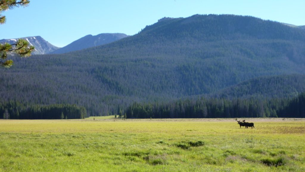
Moose sightings are possible (elk too), especially at meadow edges and along the creeks. Mornings are best for wildlife and cooler temps. You’ll share segments with stock; stay alert and yield appropriately.
Late spring through fall is the sweet spot. The Big Meadows route is not recommended in winter conditions. Go early in the day to beat storms, heat, and crowds, and for the best photography—side light on the meadows brings out texture. As of late summer, some west-side areas have periodic closures tied to infrastructure projects; check current conditions before you go.
If you want to turn this area into an overnight, there are designated backcountry sites nearby: Onahu Creek sites about 2.4 miles from the Onahu trailhead (around 9,480 feet) and Tonahutu Meadows farther up the Tonahutu corridor. Bear-resistant canisters are required seasonally, campfires are prohibited, and all creek water must be treated.
If you want a condensed, varied west-side outing with real chances for moose and a candid look at post-fire recovery, this loop is absolutely worth it. If you prefer a bigger day, the 7.4-mile Onahu–Tonahutu loop or the 8.9-mile Tonahutu to Big Meadows out-and-back deliver more mileage and deeper meadow time.
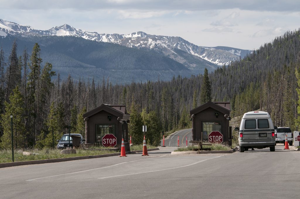
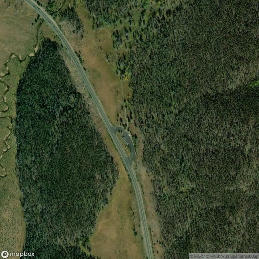
Park at either Green Mountain Trailhead (~3.1 mi north of Kawuneeche Visitor Center on US‑34) or Onahu Creek Trailhead (~3.7 mi north). A short roadside connection links the two for looping from one car.
Expect burn-scar exposure, downed trees, and muddy spots; yield to stock. Moose are common—give them space. Check west-side closure updates before you go.
Place · 1.7 mi away
Place · 1.7 mi away
Place · 1.8 mi away
Place · 2.5 mi away
Moderate · 0 mi away
Moderate · 0 mi away
Moderate · 0.6 mi away
Challenging · 3.8 mi away

Parkwolf Tour Guide
