
Place · 1.1 mi away
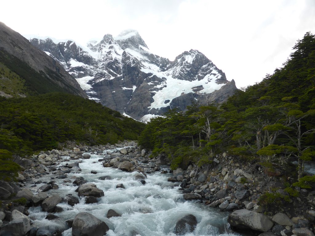
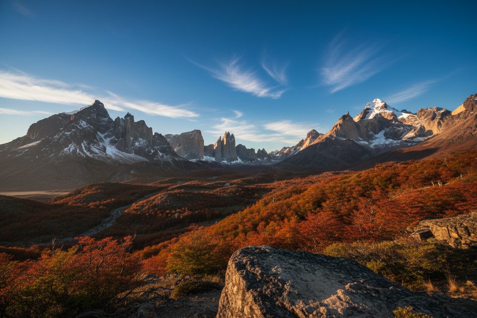
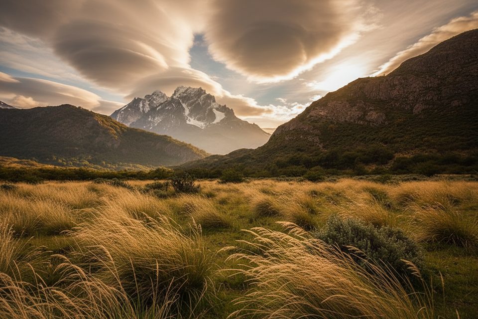
Cerro Paine Grande is the highest summit in the Paine massif (2,884 m), anchoring the western side of the range. It looms above Lake Pehoé and the W‑route heartland, so you’ll see it constantly if you’re based around Paine Grande. This is a mountain you experience as a dramatic backdrop—sharp ridges, glaciers nearby in the massif, and turquoise lakes below.
From the Paine Grande lakeshore and nearby trails, expect sweeping views of the massif, neighboring Cuernos del Paine, and vividly colored lakes like Pehoé, whose turquoise hue comes from fine “rock flour” carried by glacial melt. On clear, windy days (common here), the mountain-and-lake combo is the classic Torres del Paine postcard.
The Paine Grande Refuge/Camp sits on the south side of the mountain by Lake Pehoé and is a strategic hub on the W circuit, reachable by lake or on foot. If you want sustained looks at the peak without big detours, hike the point‑to‑point trail between Paine Grande and the Park Administration; it’s a southbound‑only route with open views the whole way.
Plan for September–April when daylight runs long. Expect the strongest winds from November to January, which coincide with peak visitation, and the rainiest period in March–April. Clear weather can flip to rain or cold in minutes, so build slack into your day.
The park supports abundant wildlife—think guanacos on the steppe and soaring Andean condors—so keep your eyes up as you scan the skyline around the massif.
This is serious mountain country with fast‑changing weather. Stay on marked paths, cook only in designated refugio areas, and remember that open fires are banned. Campsites/*refugios* must be reserved in advance before entering the park. A recent severe snowstorm in November 2025 underscored the need to heed forecasts and be conservative with plans.
If you’re lingering for photos or a rest day, the Paine Grande Refuge/Camp offers dorm lodging, hot showers, a restaurant and bar, a small shop, and gear rentals. It sits right by the Lake Pehoé catamaran dock, making access straightforward for W‑route hikers.
Place · 1.1 mi away
Place · 1.9 mi away
Place · 2.4 mi away
Place · 2.5 mi away
Moderate · 3.5 mi away
Challenging · 4.5 mi away
Easy · 8.2 mi away
Moderate · 8.2 mi away

Parkwolf Tour Guide
