
Place · 0 mi away
Moderate
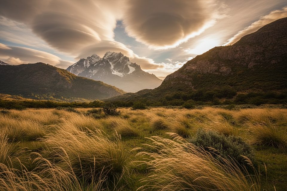
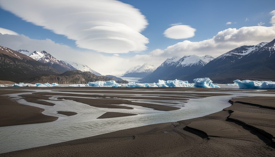
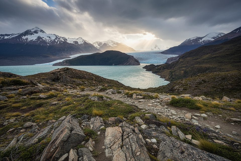
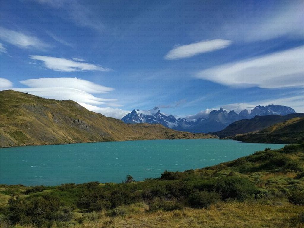
Pingo Valley is the quiet corner of the Lago Grey sector—native lenga/beech forest, river meanders, and the kind of solitude you won’t find on the W. The payoffs are classic Patagonia: waterfalls, mossy understory spared from the 2012 fires, and peek‑a‑boo views toward the Pingo and Zapata glaciers and Cerro Zapata. Wildlife sign is common, and with luck you might spot condors or even the endangered Chilean huemul.
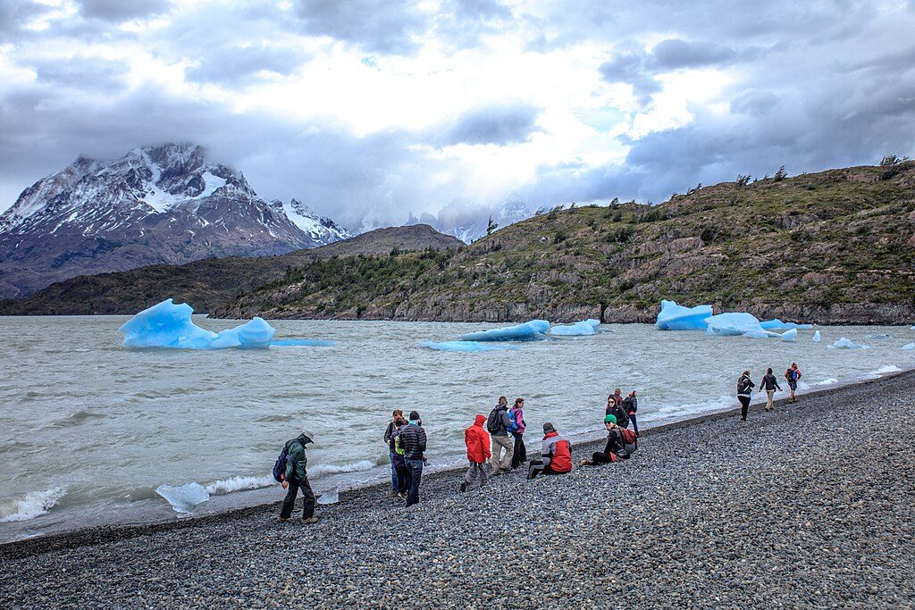
Most visitors do the short out‑and‑back to and just beyond the old Pingo refuge and Chorrillo de los Salmones, roughly 5.3 miles total (about 8–8.5 km), taking 2.5–3 hours at a steady pace. Expect undulating singletrack that can turn muddy after rain, plus occasional grazing clearings. Stronger parties push farther to the larger Pingo Waterfall for a long day, or go overnight to the simple Zapata campsite and a 1.5‑hour climb to the Zapata Glacier viewpoint. Several operators also link variants that may include a stream crossing to Grey Beach—your guide will decide based on conditions.
This is a guided‑only zone. You access it from the Lago Grey area (Pingo ranger post/Cafetería Pingo, near the Grey Nursery). Register in and out with the ranger together with your accredited guide; in practice, a special permit is handled through your guide/agency. Water is abundant along the route; treat it if you’re not used to Andean sources. There are no facilities at the wild camps—pack out all waste.
Wild cattle (baguales) have prompted periodic closures—this sector was reported closed in November 2022 for that reason. Give animals wide berth; if you encounter bulls on narrow trail, back off and let your guide choose a safer workaround. Mosquitoes can be fierce in warm, calm spells. Streams can swell after rain or heat—follow your guide’s line. Collecting the area’s marine fossils (some ~250 million years old) is illegal inside the park.
Aim for September through April for longer daylight and generally friendlier weather in the park. Off‑season trips are possible with the right operator, but expect shorter days and potential snow. This valley stays blissfully uncrowded year‑round compared with the marquee routes.
Craving another quiet, guide‑only adventure if access here is restricted? Consider Bader Valley or Silencio/Oggioni as alternatives—similar solitude, different angles on the Paine Massif.
Lago Grey sector near the Pingo ranger post/Cafetería Pingo (by the Grey Nursery). Arrive with your accredited guide and register with the ranger.
Area is guided‑only and has had closures for wild cattle; give animals wide berth, expect mosquitoes in warm spells, and be ready for muddy tread and variable stream crossings.
Place · 0 mi away
Place · 0.1 mi away
Place · 0.6 mi away
Place · 0.6 mi away
Easy · 0 mi away
Challenging · 3.9 mi away
Challenging · 7.8 mi away
Challenging · 7.8 mi away

Parkwolf Tour Guide
