
Place · 0.1 mi away
Moderate

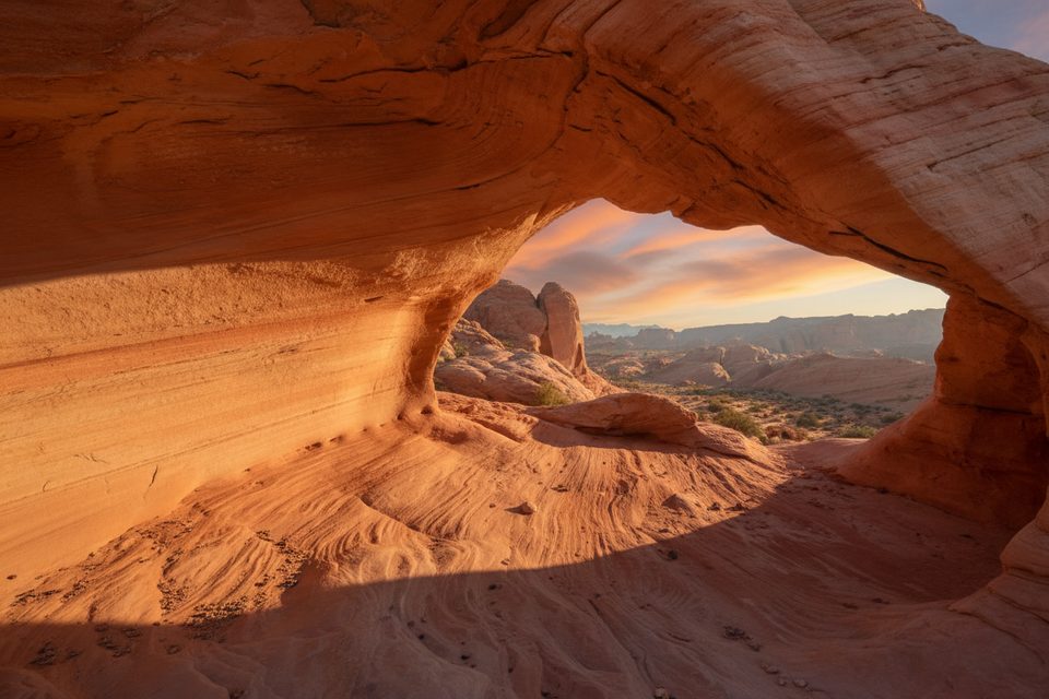
If you want the park’s hypnotic Aztec sandstone without the crowds, this is your move. The Top of the World Arch Route is an unmaintained, off-trail adventure to a dramatic sandstone arch perched high above the surrounding country. Expect about 3.4 miles total (out-and-back) and plan 2–3 hours if you linger for photos and the summit panorama toward White Domes, Silica Dome, and even Moapa Peak. It’s not a cruiser; it’s a light scramble with real route-finding and big views as payoff.
This is not an official trail. You’ll be piecing together washes, ramps, and slickrock, with short scrambling sections. Clockwise variations are generally easier to follow thanks to scattered cairns; counterclockwise tends to involve more scrambling and decision-making. Surfaces range from sand to grippy (and sometimes slippery) sandstone, so sturdy shoes matter. Optional loop extensions exist and can stretch the day considerably; if you’re here for the arch, keep it simple and out-and-back.
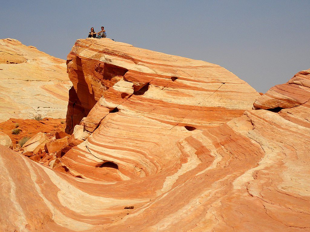
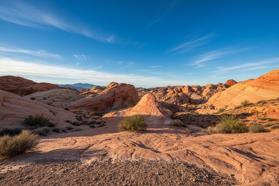
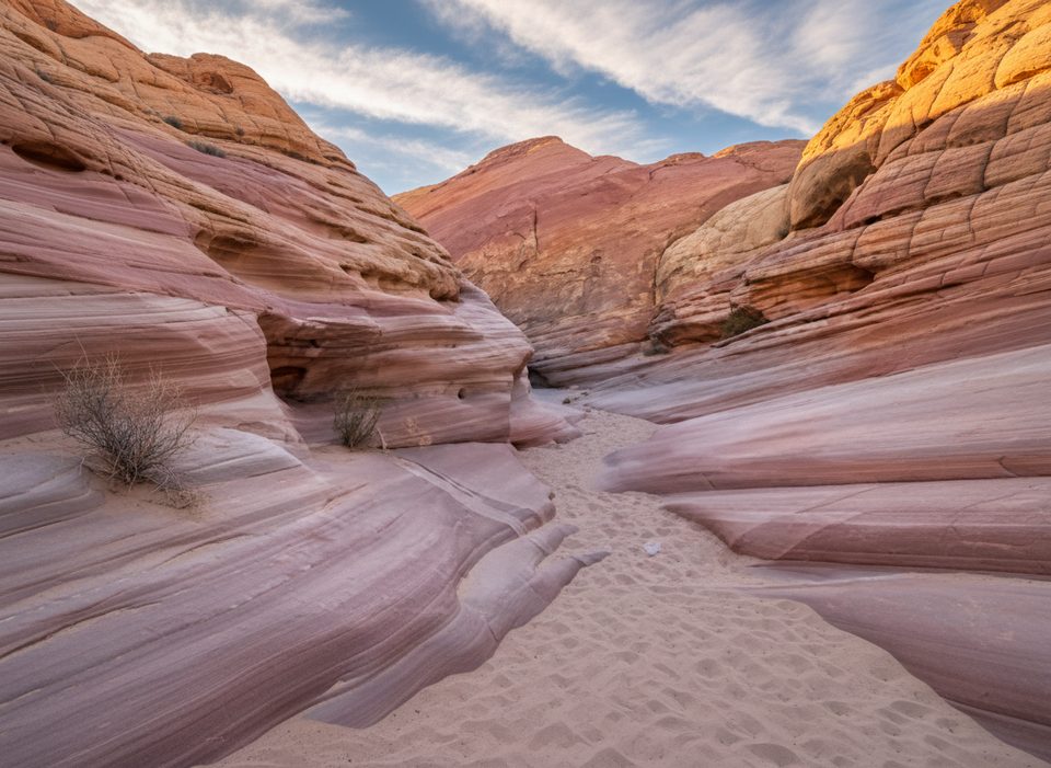
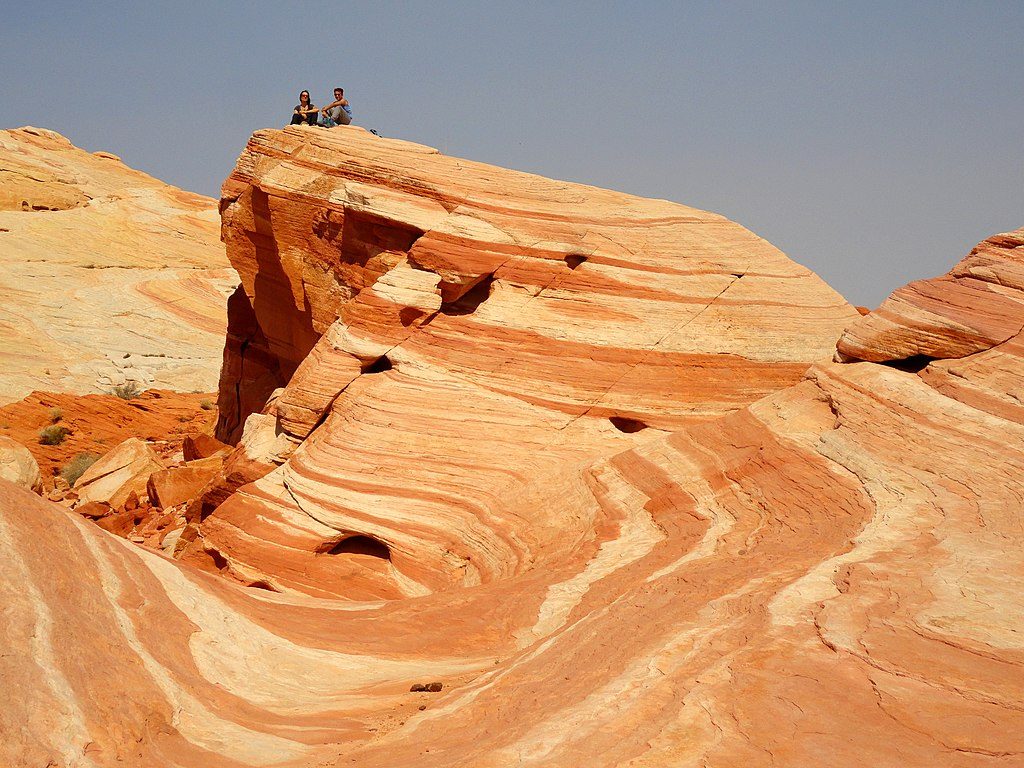
This is Aztec sandstone eye candy: bold red, orange, and white bands, cross-bedded waves, and “Swiss cheese” pockets formed by differential weathering. Expect sculpted rock outcrops and wave-like forms near the Fire Wave/White Domes area, plus the namesake arch at the turnaround. Shade is scarce, but the arch itself can offer a brief respite. Keep an eye out for desert bighorn sheep moving across the stone.
Go in cool months—late fall through early spring. Summer can be dangerously hot and miserable with full exposure. Bring plenty of water, sun protection, and either a GPS track or a detailed route description; this path is unmarked aside from occasional cairns. Footwork is key on slickrock and loose sand. Small groups make the scrambling and route-finding simpler.
If you want solitude, off-trail exploration, and panoramic sandstone scenery, this route is a gem. If unmarked terrain, light scrambling, and exposure aren’t your thing, try easier crowd-pleasers nearby like Fire Wave or White Domes instead. For those comfortable navigating, the arch’s perch and the wide-open views make this one of the park’s more rewarding off-trail outings.
Park near the Fire Wave/White Domes area (P3 lot on White Domes Road) and begin from there.
Not an official, maintained trail; expect route-finding, scrambling on slickrock, and intense heat in warm months with little shade. Clockwise has cairns; counterclockwise is tougher.
Place · 0.1 mi away
Place · 0.2 mi away
Place · 0.2 mi away
Place · 0.3 mi away
Easy · 0 mi away
Easy · 0 mi away

Easy · 0 mi away

Easy · 0 mi away

Parkwolf Tour Guide
