Fire Wave in Valley of Fire State Park

#1 of 18 sights in Valley of Fire

Sight · Valley of Fire State Park

Fire Wave

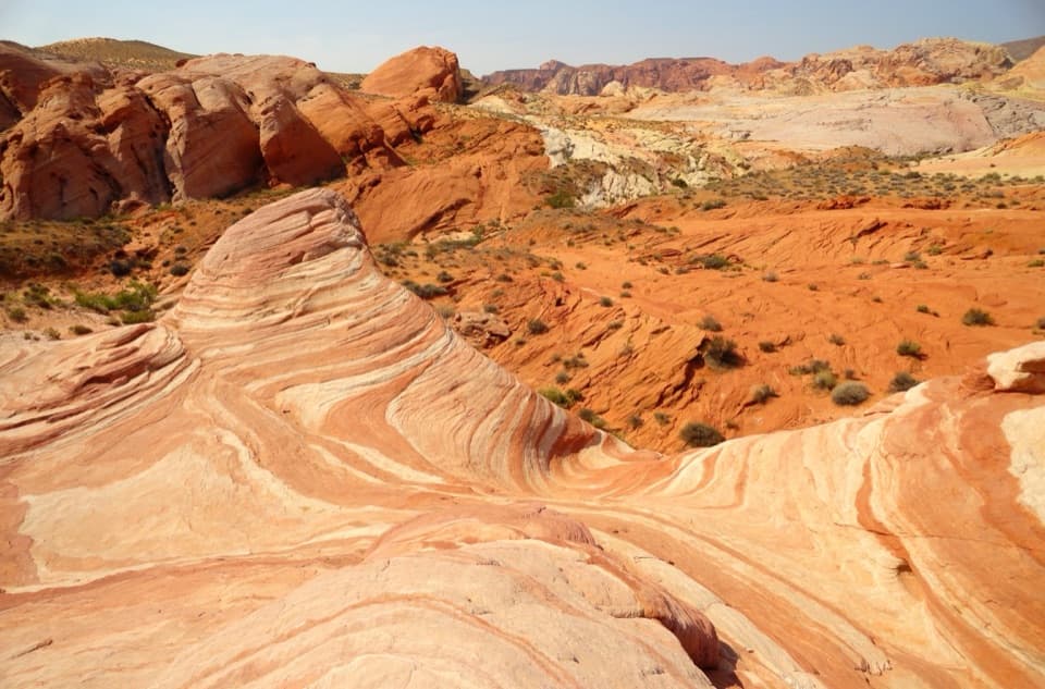
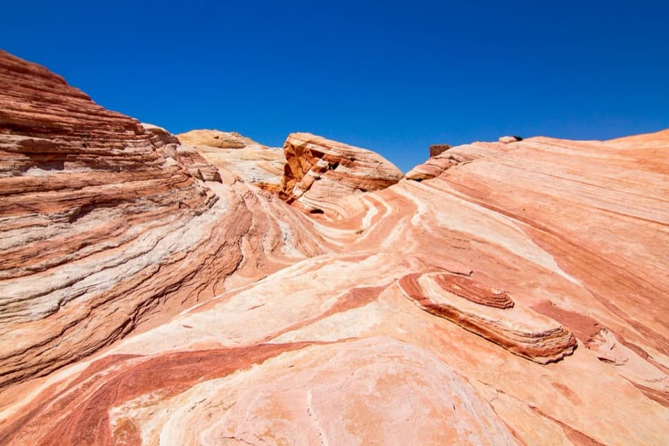
Curving stripes ripple across the sandstone like a low desert wave.

Photo: Unsplash License
Type
Sight
Nearest trail
0.5 mi
Audio stories
5 nearby
  • Trailhead
  • Parking

Hear the audio tour

Fire Wave: Walk to the Stripes

Overview

About Fire Wave

Why stop

  • You reach the wave-shaped slickrock itself, not just a distant viewpoint.

Heads up

  • The exposed walk crosses loose sand and uneven rock with little shade.

Map

Where it is

Loading the Valley of Fire map
Full map
SightFire Wave36.48266, -114.52227
Keep this map with you offline in the Parkwolf app

Plan your stop

Before you go

2 active Valley of Fire alerts

  • ClosureWest Entrance closed Monday–ThursdayThe West Entrance is closed Monday through Thursday for construction; enter through the East Entrance via State Route 169 or State Route 167.Official details
  • ClosurePark closed December 1–14 for maintenanceValley of Fire State Park will be closed to all public visitation December 1–14, 2026, for annual maintenance; normal visitation resumes December 15.Official details
Valley of Fire alerts
A park ranger sits on a dash-mounted phone, talking, as Parkwolf’s Tour Guide plays “Army Cutworm Moths: A Grizzly Bear Buffet” on Grand Loop Road below Dunraven Pass in Yellowstone
Parkwolf Tour GuideThe highest, rockiest slopes around here are a summer buffet for grizzly bears.

Valley of Fire Tour Guide

Your drive to Fire Wave, narrated.

Parkwolf is a GPS audio tour guide for Valley of Fire State Park. As you drive, it chimes in with what’s ahead: hidden gems, upcoming stops, history, geology, and wildlife, right through your car’s speakers.

See the Valley of Fire audio tour

Recorded for this place

Fire Wave: Walk to the Stripes
0:00 / 0:26
“You're approaching the Fire Wave parking area, the start of the walk to its pink-and-cream striped sandstone. Allow an hour or two for the one point four-mile round trip over loose sand and uneven rock.”

Plays as you drive up to Fire Wave in the Parkwolf Valley of Fire Tour Guide.

More stories near here in the app

  • The Lizard That Wedges Itself In
  • White Domes: A Slot Canyon and a Film Set
  • Rust in the Sandstone
  • The Smell of Desert Rain
  • 34 audio storiesacross Valley of Fire’s roads, triggered by GPS as you drive
  • Wildlife heatmapsfor Bighorn Sheep, Mojave Desert Tortoise, Sidewinder, and 13 more
  • Works offlinemaps, 23 trails, 28 places, and audio download before you lose signal
  • CarPlay readysimple controls built for the drive
★★★★★
“Fantastic app with many points of information… It’s great to just turn on while you’re driving and it gives you an audio tour of the national Park. We love it!!!!”
JMJamesApp Store review
Download Parkwolf on the App StoreGet Parkwolf on Google Play

4.7 from 8,600+ ratings

Guide

More about Fire Wave

A wave in the slickrockFire Wave is a low, broad sweep of Jurassic sandstone in the park’s northern interior, known…

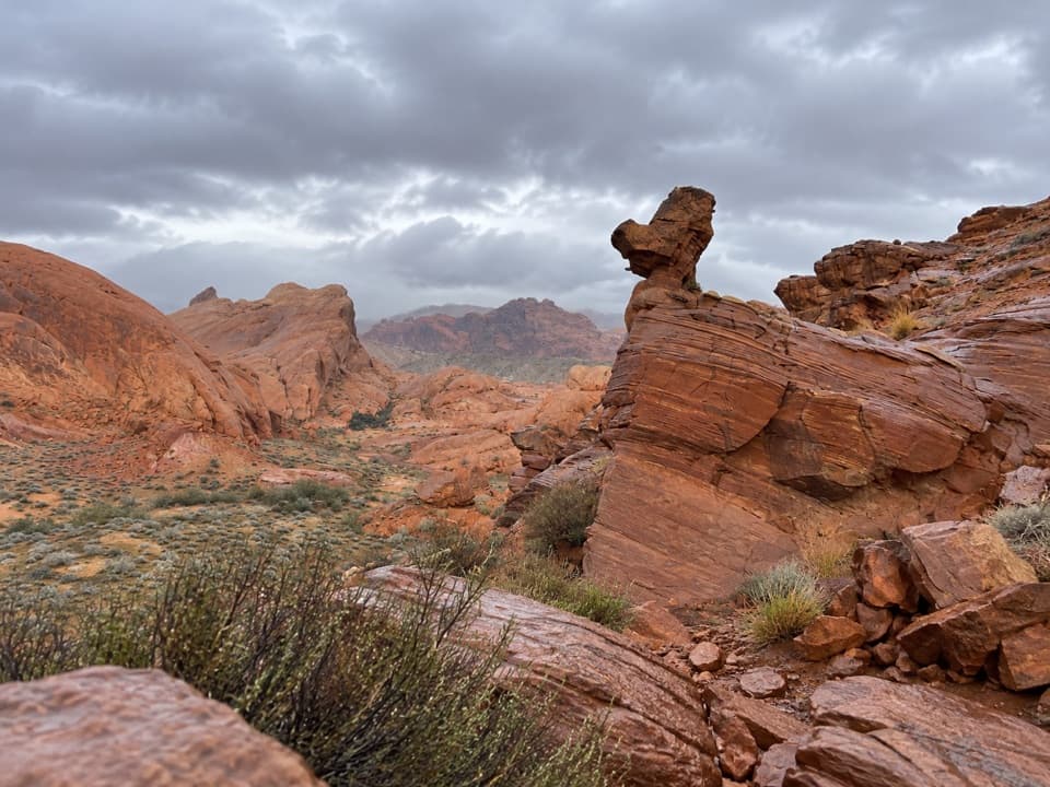
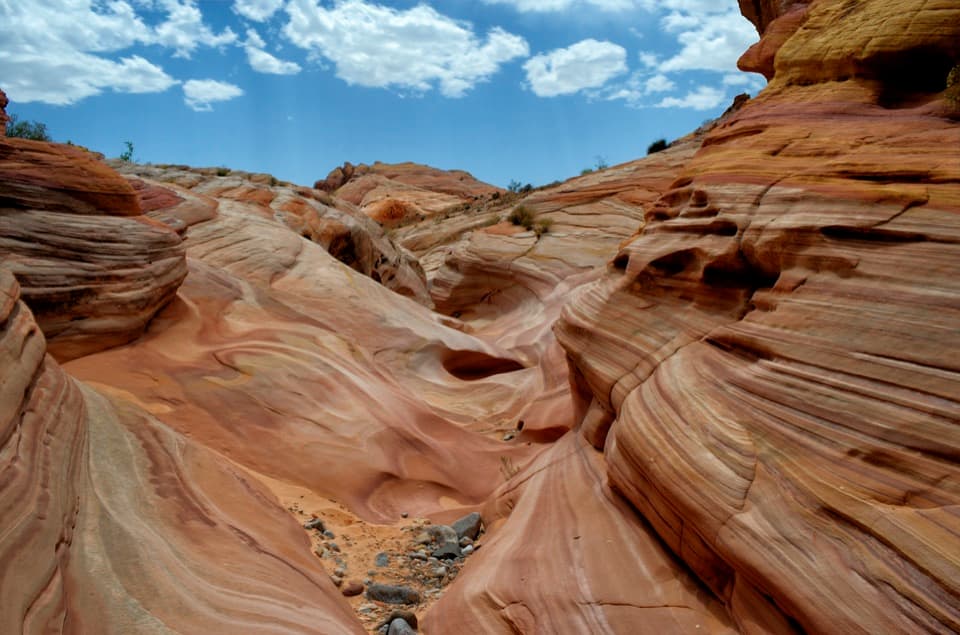
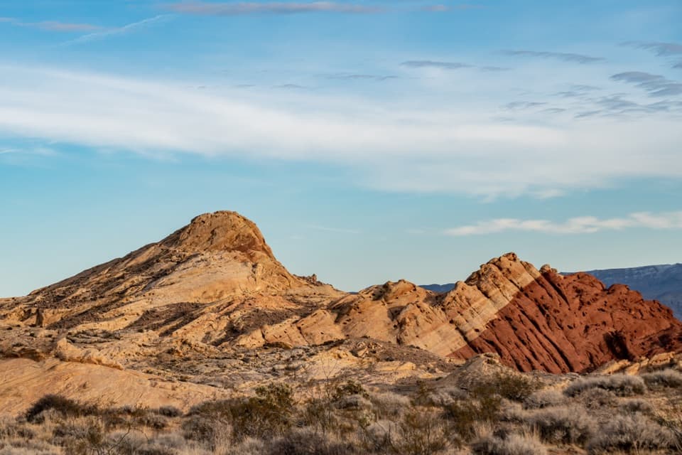
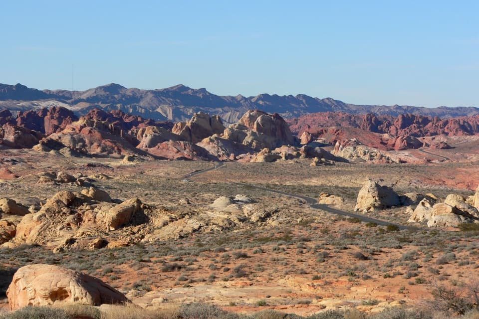
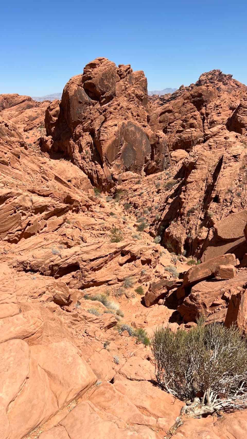
Fire Wave is a low, broad sweep of Jurassic sandstone in the park’s northern interior, known for curved red, pink, cream, and orange bands. The rock sits above a sandy wash among red cliffs and boulders. It’s the formation itself that earns the stop, but you have to walk out to see it; this isn’t a roadside overlook.

Set aside a walkFrom the visitor center, take Mouse’s Tank/White Domes Road north about 4.

From the visitor center, take Mouse’s Tank/White Domes Road north about 4.6 miles to the signed Fire Wave parking area, P3. The approach crosses open sand, rounds the south end of the cliffs, then passes boulders before the striped slickrock comes into view. Expect loose sand, uneven rock, and little shade. The park map’s 1.8-mile figure is for the combined Fire Wave/Seven Wonders loop, not a Fire Wave-only out-and-back.

The Fire Wave/Seven Wonders route closes each year from May 15 through September 30 because of heat. The whole park also closes to visitors December 1–14 for maintenance. There’s no confirmed drinking water or restroom at P3, and no food service at the trailhead, so plan those stops before driving north. Dogs are allowed on park trails on leashes no longer than six feet.

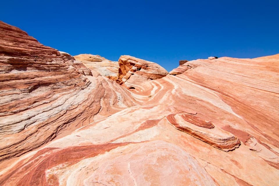
Get close to the bandsThe main feature is smooth-looking slickrock with lines that bend and wrap across its surface,…

The main feature is smooth-looking slickrock with lines that bend and wrap across its surface, set against rougher orange and red cliffs. You can look down into the sandy wash and across the surrounding banded hills. Parking availability varies; the lot and the rock are popular enough that a busy visit can make the approach and the photo harder to enjoy.

Catch the color in the lightFor the classic view, get close to the sweeping bands and include enough of the surrounding…

For the classic view, get close to the sweeping bands and include enough of the surrounding rock to show how the wave curves through the landscape. Low morning or late-afternoon light brings more texture out of the stripes. Early or later visits can also give you a better chance of finding space and keeping other hikers out of the frame, though neither is guaranteed.

Ancient dunes, different colorsThe red outcrops here are Jurassic Aztec Sandstone, formed from windblown sand dunes roughly…

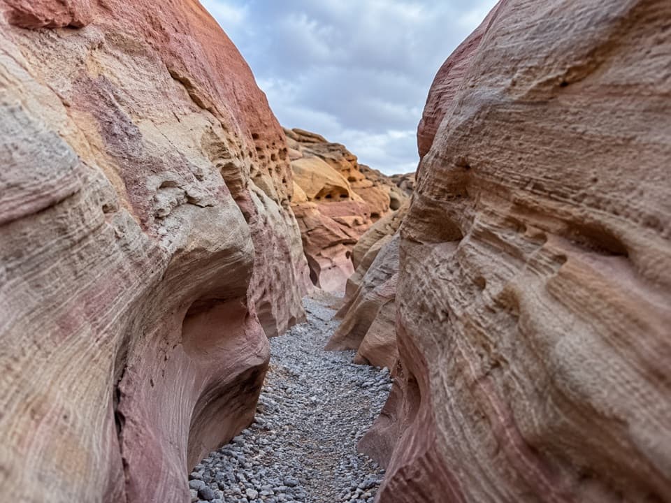
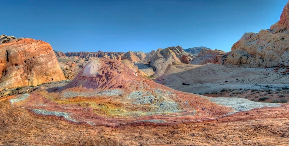
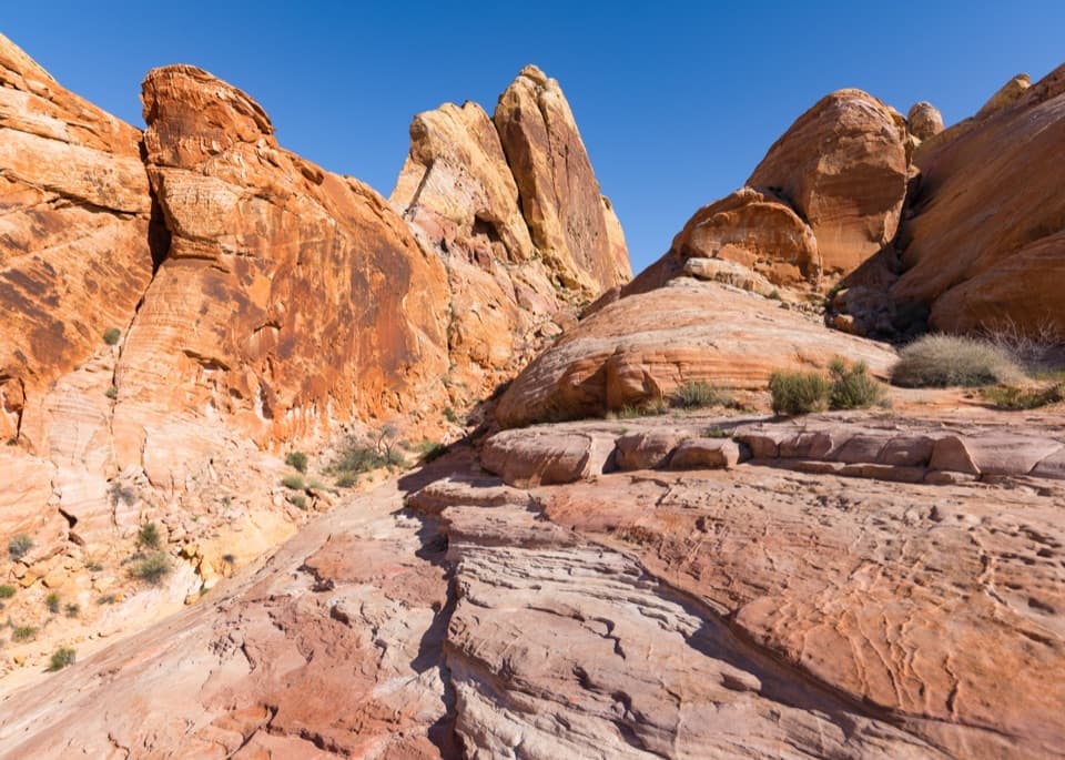
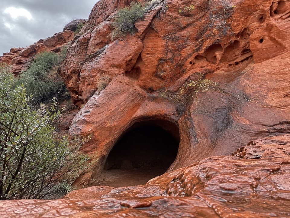
The red outcrops here are Jurassic Aztec Sandstone, formed from windblown sand dunes roughly 150–200 million years ago. Iron oxide stains some layers red, while different mineral content leaves others paler; the changing bands record those layers of ancient sand. The park’s wider geology began when inland seas receded and the region rose, leaving these former dunes exposed.

A young park around old rockThe landscape is much older than the park around it.

The landscape is much older than the park around it. Valley of Fire opened in 1934 and became Nevada’s first state park in 1935. Civilian Conservation Corps crews built campgrounds, cabins, trails, and roads here through the 1930s and early 1940s, making the modern drive to these much older rock formations possible.

Wildlife

Wildlife in Valley of Fire

All Valley of Fire wildlife maps

Sighting maps show where each species has been reported across Valley of Fire. Wildlife moves, so no sighting is guaranteed.

Keep exploring

Near Fire Wave

See it all on the map

Trails nearby

More stops nearby

Parkwolf’s Valley of Fire ranking

Top sights in Valley of Fire

All 28 places
  1. 2Elephant RockSight
  2. 3Atlatl RockSight
  3. 4Fire Canyon / Silica Dome OverlookSight
  4. 5White DomesSight
  5. 6Pastel CanyonSight
  6. 7Rainbow VistaSight

Take Parkwolf to Valley of Fire.

The audio tour guide for the drive, plus offline maps, trails, and wildlife heatmaps for when the signal drops.

4.7 from 8,600+ ratings

Download Parkwolf on the App StoreGet Parkwolf on Google Play