
Place · 0.3 mi away
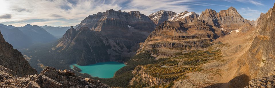
Mount Schaffer rises between Lake O’Hara and Lake McArthur, delivering a compact, big-view summit day without the crowds. It’s not the tallest peak in the basin, but it punches above its weight: the top lays out both lakes, rugged ridgelines, and that classic O’Hara alpine architecture in one sweep.
If you’ve admired the O’Hara basin from lakeside, this is the satisfying upgrade. Expect “wow” moments from start to finish, fewer people than on the marquee lake loops, and engaging terrain that’s steep without being a full-on technical climb—provided you choose the right route for your comfort level.
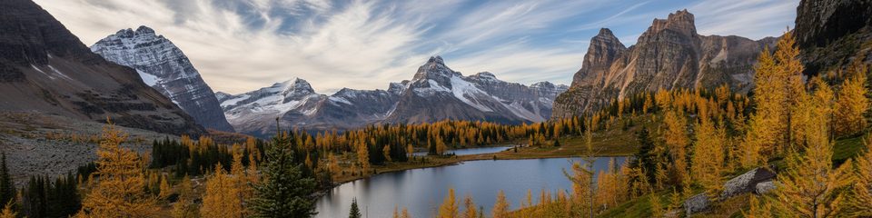
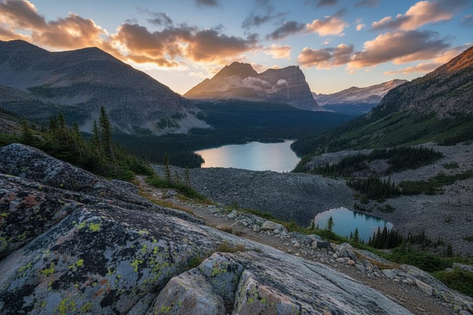
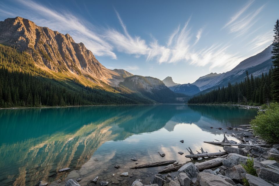
Views span turquoise Lake O’Hara to the northeast and deep-blue Lake McArthur to the south, with alpine meadows, larch patches, and rocky ledges en route. Approaches from the O’Hara side can pass Schaffer Lake and traverse airy features before the final climb.
All access runs through the Lake O’Hara area, which is quota-controlled. Reserve the Parks Canada shuttle well in advance or prepare for a long walk up the access road to reach the trail network. There are no facilities on the mountain; amenities are back at Lake O’Hara.
Trail segments are steep with sections of scree, and route-finding isn’t always obvious. The upper mountain is exposed to fast-changing weather. Bring sturdy footwear, layers, plenty of water and food, navigation (map/GPS), and bear spray. There are no reliable water sources once you leave the main area trails.
The O’Hara basin regularly hosts alpine residents like mountain goats, marmots, and pikas, with occasional bear activity. Give wildlife space and keep food secured.
Named in 1909 (likely for Mary Schäffer Warren or Dr. Charles Schäffer), with the first recorded ascent the same year; the name was made official in 1924. Sedimentary layers—limestone, shale, and dolomite—shape the cliffs and ledges you’ll scramble over.
Drones are prohibited in Canadian national parks. Local regulations also restrict fishing and watercraft in this area.
Aim for an early start for cooler temps and better light. Autumn larch season lights up the slopes, and the bus quota keeps overall numbers down compared to other mountain hotspots, though O’Hara days can still feel busy around the lakes.
Place · 0.3 mi away
Place · 0.5 mi away
Place · 0.8 mi away
Place · 0.8 mi away
Easy · 0.8 mi away
Moderate · 0.9 mi away
Easy · 6.6 mi away
Moderate · 6.7 mi away

Parkwolf Tour Guide
