Pros & cons
PROS
- Deepest lake in the park with vivid sapphire color
- Rewarding alpine hike with high- and low-level route options
CONS
- Access hinges on Lake O’Hara’s permit/lottery system
- High-level route involves minor scrambling and fickle alpine weather
Overview
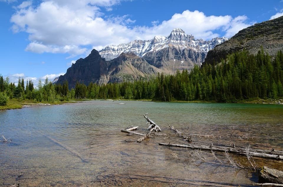
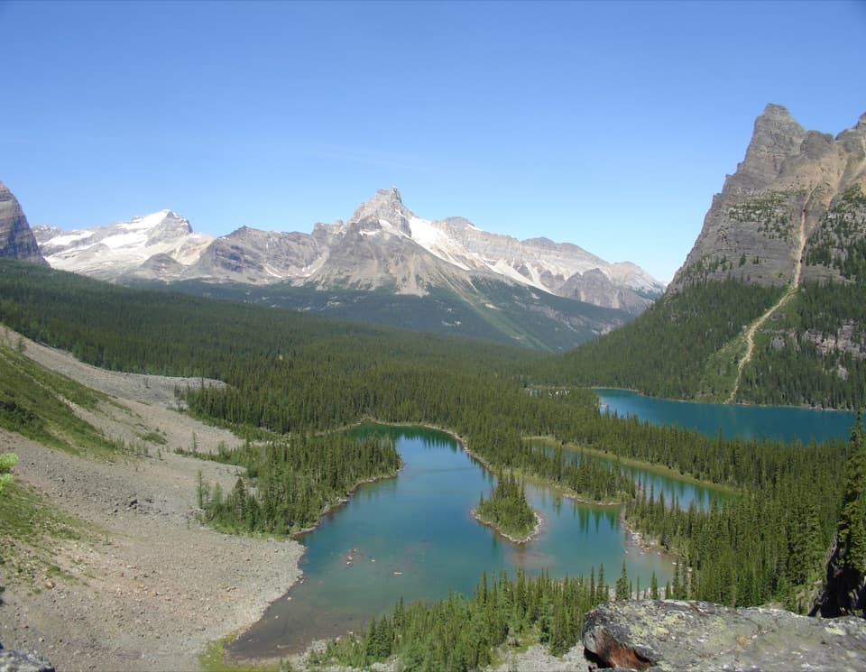
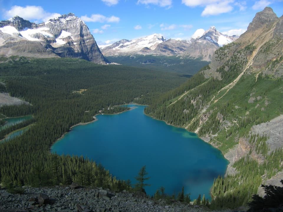
Tucked in a high limestone bowl above the Lake O’Hara area, Lake McArthur is Yoho’s deepest lake (85 m) and famously sapphire blue. It’s a pure wilderness scene: no roads, no facilities—just rock, water, and big peaks like Mount Schaffer and Park Mountain framing the shoreline.
Why it’s special
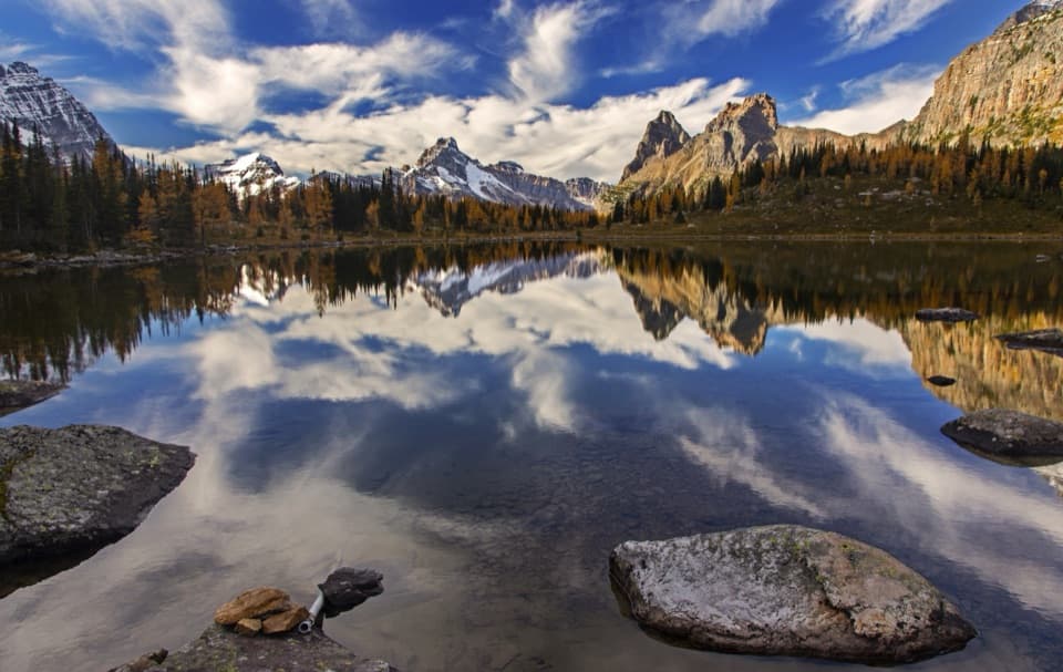
McArthur’s color is outrageous on sunny days, and its setting is unusual: a karst basin with no visible outlet. Water seeps through cracks in the limestone, and you actually hike uphill to leave the lakeshore—odd but true. It’s long been a photographers’ darling and a classic objective for O’Hara hikers.
Getting there
You reach McArthur from the Lake O’Hara trail network, typically passing the Elizabeth Parker Hut and Schaffer Lake before choosing either the McArthur High Level or Low Level route. Plan roughly 6.3 km and 2–3 hours each way via the O’Hara area, and remember: access to O’Hara itself is controlled by reservation/lottery.
Trail options
- High Level: Airy, with a short bit of minor scrambling; most hikers prefer doing the high route uphill for better footing and control.
- Low Level: Easier and more sheltered; a common choice for the return.
What you’ll see
Expect a greatest-hits mix of alpine meadows, boulder fields, and wildflowers (moss campion is noted) before the big reveal: McArthur’s deep-blue water set on a windswept plateau. On breezy days the surface chops up; longer exposures can smooth it out for photos.
Wildlife and closures
This is grizzly country. The McArthur Valley has a seasonal closure from May 1 to August 15 for bear activity; afterward, only limited permitted groups are allowed in that valley. Carry bear spray, travel smart, and check current advisories when planning routes in the area.
History & geology
Early Rocky Mountain travelers were praising McArthur as a "sapphire gem" over a century ago. Its karst hydrology—no surface outlet, water draining through limestone—explains both the color-rich clarity and that uphill walk away from shore. Glaciers once calved icebergs into the lake from nearby Mount Biddle.
Best time to visit
Late summer into early fall is prime, after the grizzly closure window. Sunny days make the sapphire tones pop; autumn brings larches and crisp air. Crowds thin compared to O’Hara’s core lakes once you’re on the McArthur trails, but permits still gate overall access.
Where it is
51.3333, -116.3333Tips for Lake McArthur
- 01Secure Lake O’Hara access well in advance; walk-ons are unlikely.
- 02Take the High Level route uphill and return via the easier Low Level.
- 03You’ll climb uphill to leave the lakeshore due to the basin shape.
- 04Aim for sunny days; use longer exposures if wind chops the water.
- 05Plan around the McArthur Valley’s May 1–Aug 15 grizzly closure.
Near Lake McArthur
All places →All trails →
0.8 mi awayMount SchafferUnderrated Lake O’Hara summit with big views over two blue lakesScenic Viewpoint
1.1 mi awayOpabin LakeTurquoise cirque lake above O’Hara, ringed by larches and glacier
1.1 mi awayAll Soul's ProspectRidge-top panorama over the entire Lake O’Hara basinScenic Viewpoint
1.3 mi awaySchaffer LakeQuiet alpine lake on the way to McArthur Pass
1.6 mi awayLake O'Hara and Lake Oesa LoopCompact tour of O’Hara’s best: Oesa, ledges, and turquoise perfectionModerate · 5.3 mi · 4 hr
1.6 mi awaySeven Veils Falls TrailShort, misty waterfall detour at Lake O’Hara’s far shoreEasy · 1.5 mi · 1 hr
7.4 mi awayLower Spiral Tunnels Viewpoint TrailQuick, paved stroll to a historic train-watching overlookEasy · 0.3 mi · 15 min
7.4 mi awaySherbrooke Lake TrailSteady forest climb to a big turquoise lake with mountain backdropsModerate · 3.9 mi · 2.5 hr