
Place · 0 mi away
Challenging
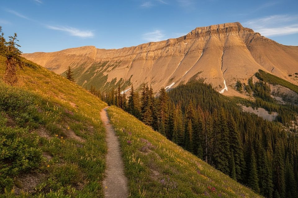
Mount Field is a classic Rockies objective: mostly trail, then a short, hands‑on summit push with huge views. Expect an out‑and‑back of about 9.0 miles (14.5 km) total with roughly 1,458 m of elevation gain. You’ll start on the Burgess Pass Trail from the Emerald Lake area, then leave the trail near the pass to tackle Mount Field’s west slope.
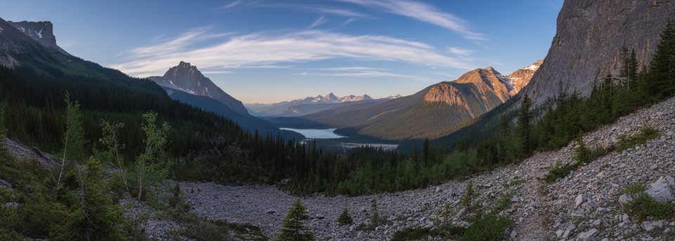
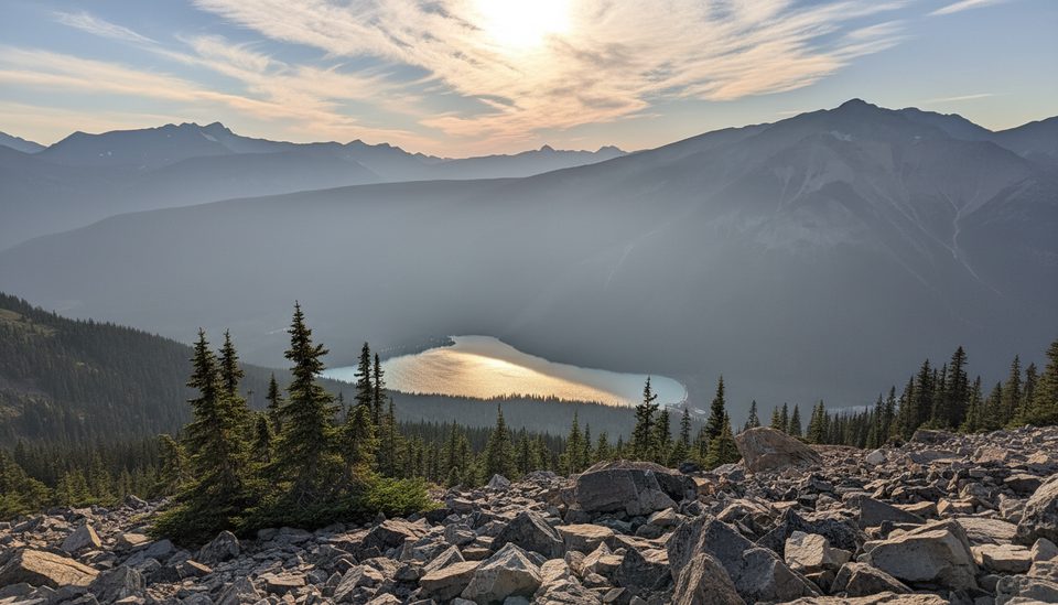
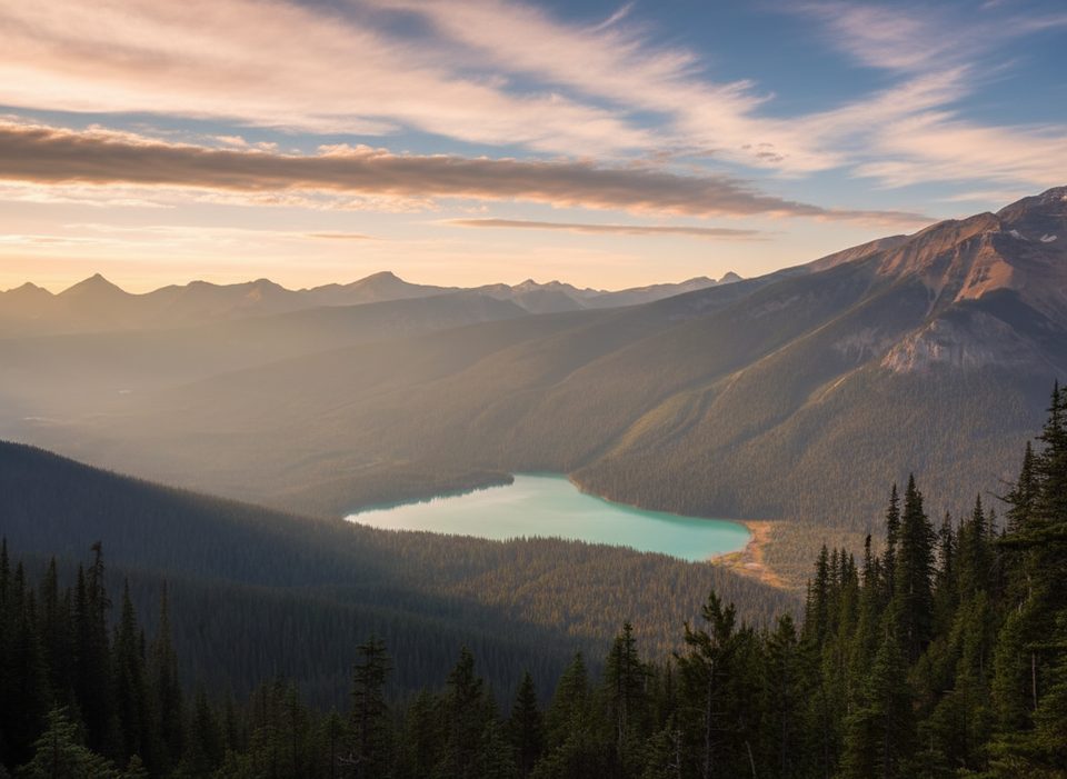
As you climb out of the forest to alpine terrain, the views open fast—President Range, Mount Vaux, Mount Burgess, and the ridge shared with Wapta Mountain. From higher up and the summit, you can spot the Yoho Valley, Takakkaw Falls, and even the Spiral Tunnels. Summer brings alpine wildflowers and butterflies like the painted lady. You’re traveling through the famous Burgess Shale country—historic geology is all around you (note: the actual fossil beds are restricted).
Follow the Burgess Pass Trail for the bulk of the approach. Many parties continue via Yoho Pass before leaving the trail for the summit slopes. Past the pass, avoid thrashing in the gully by staying on grass and light trees to the right, then trend right toward the furthest drainage leading to Mount Field. The final 400 m are on loose scree, finishing with a brief, steep scramble up a small cliff band—hands required, but it’s considered easy scrambling in dry conditions.
This is a rewarding day for experienced hikers and scramblers comfortable with off‑trail travel, loose rock, and mild exposure. For casual hikers, it’s a big, steep day with some routefinding and a short scramble—better options include the Emerald Lake loop or hiking only as far as Burgess Pass.
Late July through September is prime. Snow often lingers early season, and the crux can be icy. Even in summer, mountain weather flips fast—check a peak forecast and aim for morning light and calmer winds.
Park at the Emerald Lake parking area; start on the Burgess Pass Trail from there.
Final 400 m are loose scree with a brief hands‑on scramble; snow can linger into summer and makes the crux hazardous. Routefinding off the Burgess/Yoho Pass trail is the main navigation challenge. No reliable water above the forest; weather shifts quickly at altitude.
Place · 0 mi away
Place · 0 mi away
Place · 0.1 mi away
Place · 0.1 mi away
Easy · 0 mi away
Moderate · 0 mi away
Challenging · 0 mi away
Challenging · 0 mi away

Parkwolf Tour Guide
