Cautley Spout in Yorkshire Dales National Park

Sight · Yorkshire Dales National Park

Cautley Spout

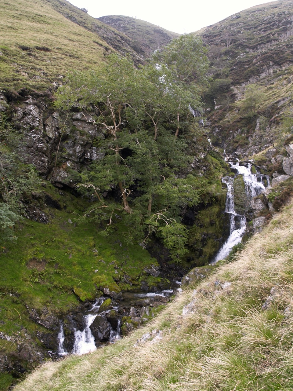
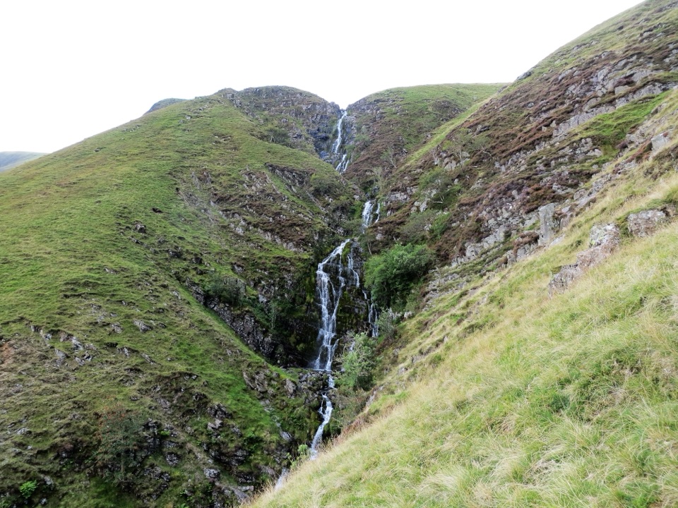
Cautley Spout, England's highest above-ground cascade, tumbles nearly 200m

Photo: Wikimedia Commons
Type
Sight
Nearest trail
1.9 km
Audio stories
1 nearby
  • Parking
  • #13 of 53 sights

Hear the audio tour

Cautley Spout from the Valley

Overview

About Cautley Spout

Why stop

  • Big waterfall scale from the lower valley
  • Peaceful fell walk with streamside sitting spots

Heads up

  • Flow can be slight in dry spells
  • Steep, rough upper path needs care
This is England's highest above-ground waterfall, dropping around 198 to 200 metres in a series of cascades down a steep fellside. You can see the white thread of it from miles away, and the smooth grassy slope beside it is very steep, far steeper than photos suggest, which is part of what makes the scale sink in as you get closer.
Parkwolf’s verdictWhy it's worth the detour

Map

Where it is

Loading the Yorkshire Dales map
Full map
SightCautley Spout54.37223, -2.49314
Keep this map with you offline in the Parkwolf app

Plan your stop

Before you go

Best time to go

Go after a decent run of wet weather for the fullest cascade, and aim for early on a weekday for a parking space and a peaceful valley. Bring proper footwear with grip, waterproofs, and your own water and snacks so you are not relying on finding anything along the way. A picnic works well at the sitting spots near the stream below the falls.


Getting there and parking

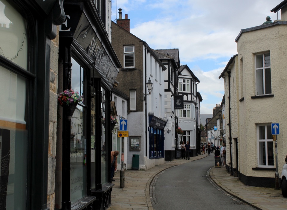
The nearest town is Sedbergh, and the falls sit off the A683 near the Cross Keys Inn. Heading out from Sedbergh, the lay-by is on the left just past Cross Keys, and it is limited, so it fills early on good days. Park considerately and do not obstruct the road. Plan as though you will need to be self sufficient at the falls; the inn has toilets for its customers, and Sedbergh is the place to stock up beforehand.

1 active Yorkshire Dales alert

  • ClosureTemporary closures on public rights of wayAvoid the listed sections of public rights of way while their temporary closures or pedestrian prohibition are in force. - Public Bridleway No. 52 (05.Official details
Yorkshire Dales alerts
A park ranger sits on a dash-mounted phone, talking, as Parkwolf’s Tour Guide plays “Army Cutworm Moths: A Grizzly Bear Buffet” on Grand Loop Road below Dunraven Pass in Yellowstone
Parkwolf Tour GuideThe highest, rockiest slopes around here are a summer buffet for grizzly bears.

Yorkshire Dales Tour Guide

Your drive to Cautley Spout, narrated.

Parkwolf is a GPS audio tour guide for Yorkshire Dales National Park. As you drive, it chimes in with what’s ahead: hidden gems, upcoming stops, history, geology, and wildlife, right through your car’s speakers.

Recorded for this place

Cautley Spout from the Valley
0:00 / 0:29
“You're approaching the roadside start for Cautley Spout; the falls are a walk up the valley, not a roadside sight.”

Plays as you drive up to Cautley Spout in the Parkwolf Yorkshire Dales Tour Guide.

More stories near here in the app

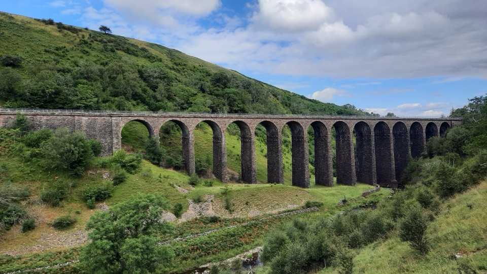
  • The Track That Stops at the Falls
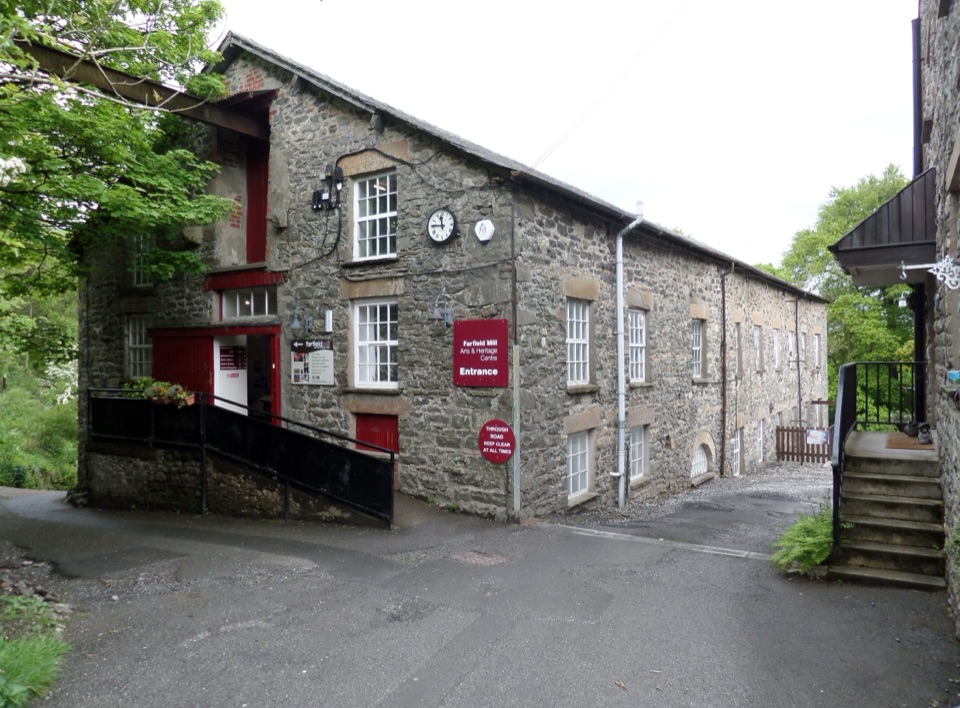
  • The Mill That Sent Wool Home
  • The Sheep with the White Nose
  • The Stone on the Turnpike
  • 298 audio storiesacross Yorkshire Dales’s roads, triggered by GPS as you drive
  • Wildlife heatmapsfor Eurasian Otter, Atlantic Salmon, Short-eared Owl, and 13 more
  • Works offlinemaps, 99 trails, 63 places, and audio download before you lose signal
  • CarPlay readysimple controls built for the drive
★★★★★
“Fantastic app with many points of information… It’s great to just turn on while you’re driving and it gives you an audio tour of the national Park. We love it!!!!”
JMJamesApp Store review
Download Parkwolf on the App StoreGet Parkwolf on Google Play

4.7 from 8,600+ ratings

Guide

More about Cautley Spout

The shorter valley walkFrom the parking, cross the footbridge over the River Rawthey and follow the clear, level path…

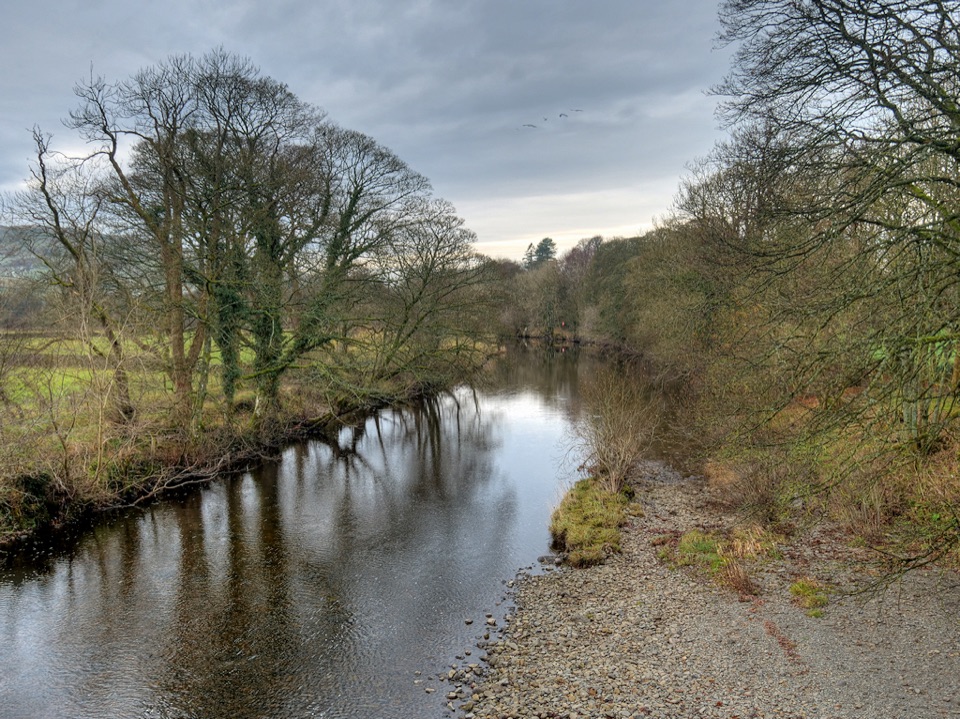
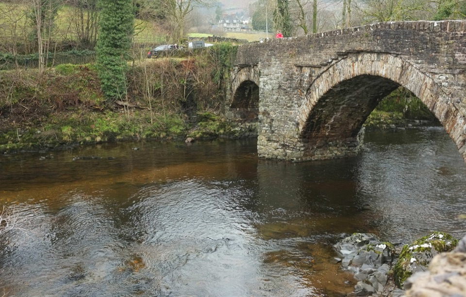
From the parking, cross the footbridge over the River Rawthey and follow the clear, level path up the valley. It is about 4 km / 2.5 miles there and back, with some steps and little ascent over good paths. After roughly 1,200 m you reach an information board, and the waterfall is ahead of you. Many people stop around here, sit by the stream and skip the climb entirely, which is a perfectly good way to see it. Underfoot conditions and weather still matter, so judge the route against your own footing and stamina.

The steep upper climbA rough, steep path runs up alongside the fall to the top.

A rough, steep path runs up alongside the fall to the top. It gets you there, but it is taxing, and the descent is harder than the way up. A fall into the gill could be fatal, so keep well back from the edge and keep children and dogs close. Continuing over the fells for a circular return is remote and strenuous; the wider loop is about 7.3 miles with roughly 2,100 ft of ascent and takes most walkers 4.5 to 5 hours.

Iron Age history in the valleyThe valley holds an Iron Age settlement, including a stone-lined avenue running toward the…

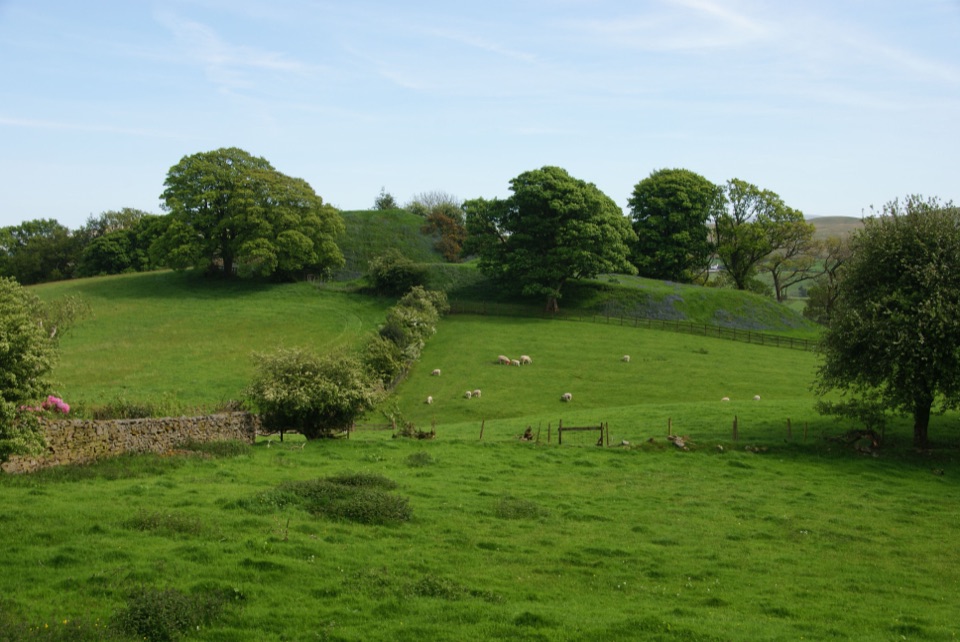
The valley holds an Iron Age settlement, including a stone-lined avenue running toward the falls. It may have been ritual in purpose, with the waterfall as the focus. The information board on the lower path explains what you are looking at, and it changes how the walk in feels.

Honest drawbacksFlow is everything here.

Flow is everything here. In dry conditions it can drop to a trickle, and it is far more impressive after sustained rain. The lay-by is small and fills quickly, and the upper path is rough and strenuous rather than a casual scramble. Sheep graze freely, so dogs need proper control.

Wildlife

Wildlife in Yorkshire Dales

All Yorkshire Dales wildlife maps

Sighting maps show where each species has been reported across Yorkshire Dales. Wildlife moves, so no sighting is guaranteed.

Parkwolf’s Yorkshire Dales ranking

Top sights in Yorkshire Dales

All 63 places
  1. 1Malham CoveSight
  2. 2Aysgarth FallsSight
  3. 3Ribblehead ViaductSight
  4. 4Gordale ScarSight
  5. 5Bolton CastleSight
  6. 6Janet's FossSight

Take Parkwolf to Yorkshire Dales.

The audio tour guide for the drive, plus offline maps, trails, and wildlife heatmaps for when the signal drops.

4.7 from 8,600+ ratings

Download Parkwolf on the App StoreGet Parkwolf on Google Play