Parking
Small roadside lay-by near the Cross Keys Inn on the A683; parking is very limited and the road must not be obstructed. Treat the start as having no facilities.
Yorkshire Dales National Park, EN
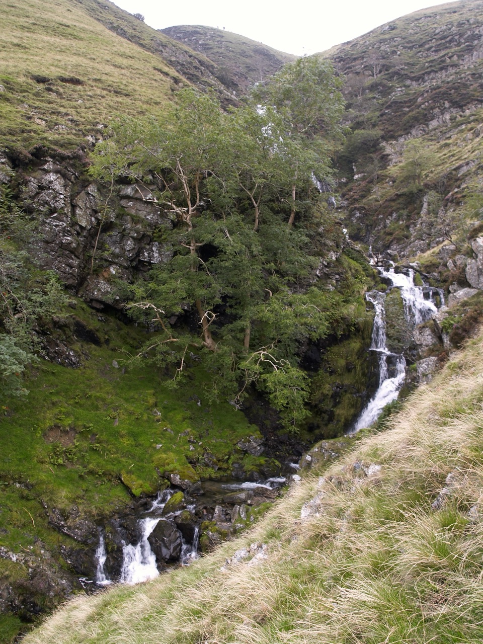
Climb beside a spectacular waterfall to the Howgill Fells' highest summit
Overview
Map & elevation
Plan your hike

The highest, rockiest slopes around here are a summer buffet for grizzly bears.
Yorkshire Dales Tour Guide
Parkwolf is a GPS audio tour guide for Yorkshire Dales National Park. As you drive, it chimes in with what’s ahead: hidden gems, upcoming stops, history, geology, and wildlife, right through your car’s speakers.
Recorded for this trailhead
Cautley Spout from the Valley“You're approaching the roadside start for Cautley Spout; the falls are a walk up the valley, not a roadside sight.”
Plays as you drive up to this trailhead in the Parkwolf Yorkshire Dales Tour Guide.
More stories near here in the app
“Fantastic app with many points of information… It’s great to just turn on while you’re driving and it gives you an audio tour of the national Park. We love it!!!!”


Trail guide
A 5.2 mile (8.4 km) circular, usually 3.5 to 4 hours, starting and finishing at the small roadside lay-by near the Cross Keys Inn on the A683. From the lay-by a signed path crosses a footbridge over the River Rawthey, then follows Cautley Holme Beck under the dark bulk of Cautley Crag to the foot of Cautley Spout. The steep climb beside the falls leads onto open fellside and a high ridge to the trig point on The Calf at about 676 m, then over Bram Rigg Top and Calders, east along the fence line to Great Dummacks, and down steep open grass toward Pickering Gill to rejoin the valley path.
Hard for the distance. Around 1,690 ft of ascent, most of it in one sustained pull beside the waterfall on a very steep, smooth grassy slope. Footing is rough grass and stone with stream crossings, and the descent from Great Dummacks is on steep pathless turf that punishes tired legs. The waterfall itself is genuinely dangerous, with a potentially fatal drop into the gill, so keep well back from edges.
Two sections cross open fellside with no clear path, so you need to be comfortable with a map and compass rather than relying on a worn line underfoot. The ridge is high, wind exposed and almost shelterless. In cloud or hill fog this is not a route to guess at, and on the Great Dummacks descent you must stay well away from the Cautley Crag side.
Parking is very limited at the lay-by, so arrive early and never block the road. Treat the start as having no facilities and carry your own water and food.
Cautley Spout is the headline, visible on the walk in and best photographed from below on the approach, when the light falls into the amphitheatre. Higher up the payoff is the sweep of rounded grassy Howgill ridges, crags and beck lines, with wide Dales views from the summit trig point. Low sun early and late gives the ridges their shape.
Dogs are allowed on the public rights of way here, but this is working fell country. Keep them under close control, on leads near livestock, and on short leads from March through July around sheep and ground-nesting birds.
The short out-and-back to the base of Cautley Spout from the Cross Keys is a much easier option and still gives you the waterfall. Choose that one if you would rather skip the steep climb, the high ridge and the pathless ground.
Wildlife
 10 sightingsEurasian OtterMost seen around 7 PMSighting map
 11 sightingsAtlantic SalmonMost seen around 7 AMSighting map
 12 sightingsShort-eared OwlMost seen around 7 PMSighting map
 22 sightingsWestern Barn OwlMost seen around 6 AMSighting map
 27 sightingsTawny OwlMost seen around 7 PMSighting map
 34 sightingsCommon KingfisherMost seen around 7 AMSighting map
Sighting maps show where each species has been reported across Yorkshire Dales. Wildlife moves, so no sighting is guaranteed.
Keep exploring
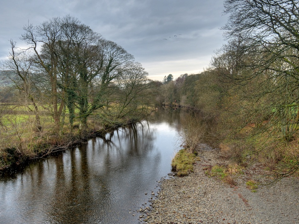 ModerateRiver Rawthey Accessible Walk2.5 km · 1.3 hr · 6.1 km awayTown pavements to a wooded riverbank, herons, dippers and picnic benches
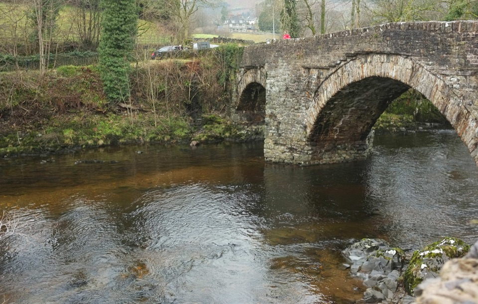 EasySedbergh and Millthrop4 km · 1.3 hr · 6.1 km awayRiverside loop to Millthrop Bridge, then field paths and Akay Wood
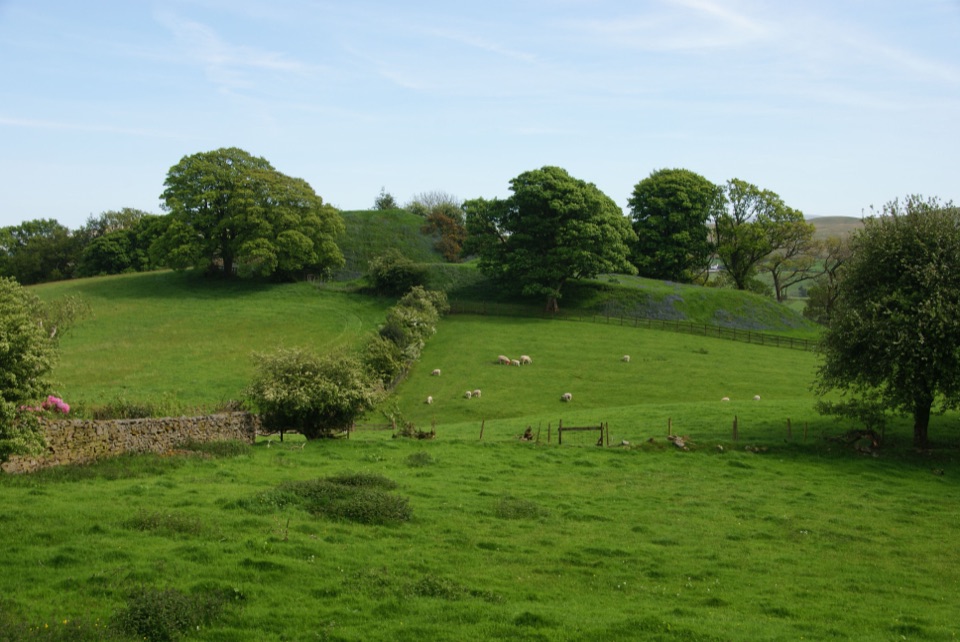 ModerateSedbergh to Stone Hall2.9 km · 1.3 hr · 6.1 km awayA compact field-and-lane loop from Sedbergh with castle mound views
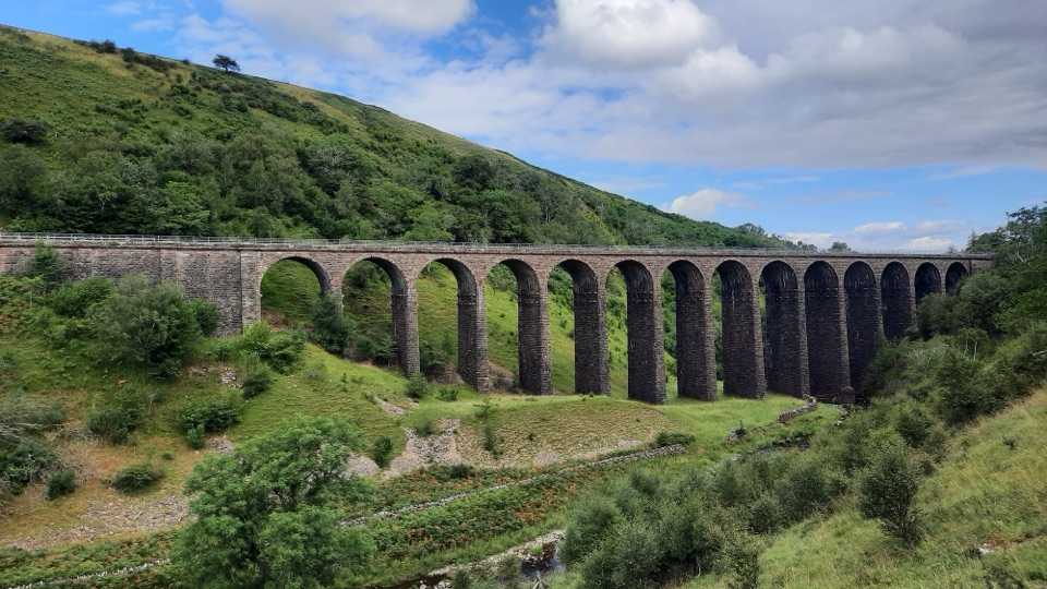 ModerateSmardale Gill Walk10.9 km · 4.5 hr · 7.6 km awayA 14-arch viaduct, beckside pasture and open fell in one figure-of-eight
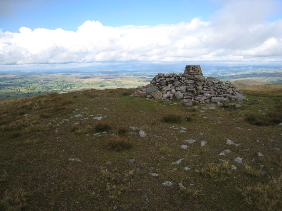 ChallengingWild Boar Fell16.1 km · 5 hr · 9.2 km awayAiry 708 m plateau above Mallerstang, hidden tarn, waterfall finish
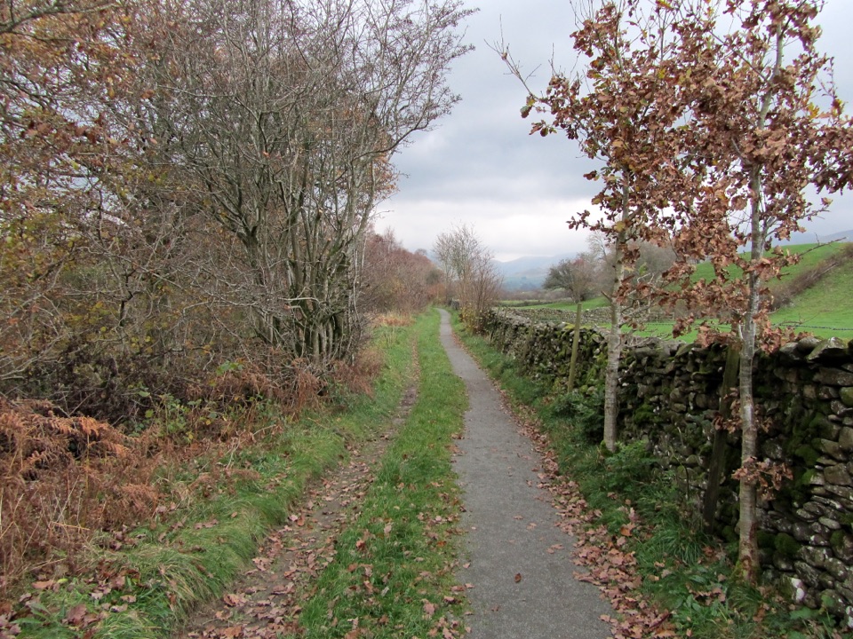 EasyKillington New Bridge Accessible Walk1.2 km · 45 min · 9.7 km awaySmooth, level path beside the River Lune to a riverside viewing platform
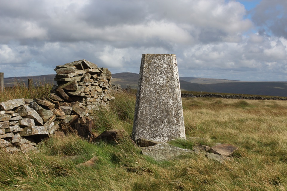 ModerateAye Gill Pike from Dent10.1 km · 3.5 hr · 9.8 km awayQuiet ridge climb above Dentdale to a trig point with big views
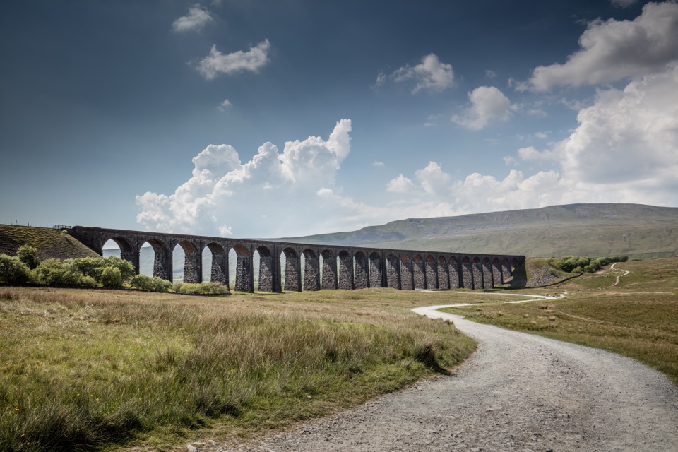 ModerateDent to Ribblehead Walk14.8 km · 5 hr · 11.5 km awayNine moorland miles between two railway stations, ending under the viaduct
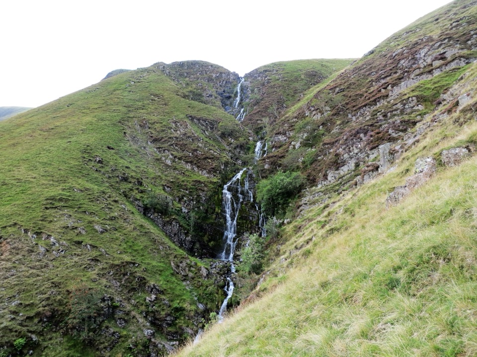 Sight · 1.9 km awayCautley SpoutCautley Spout, England's highest above-ground cascade, tumbles nearly 200m
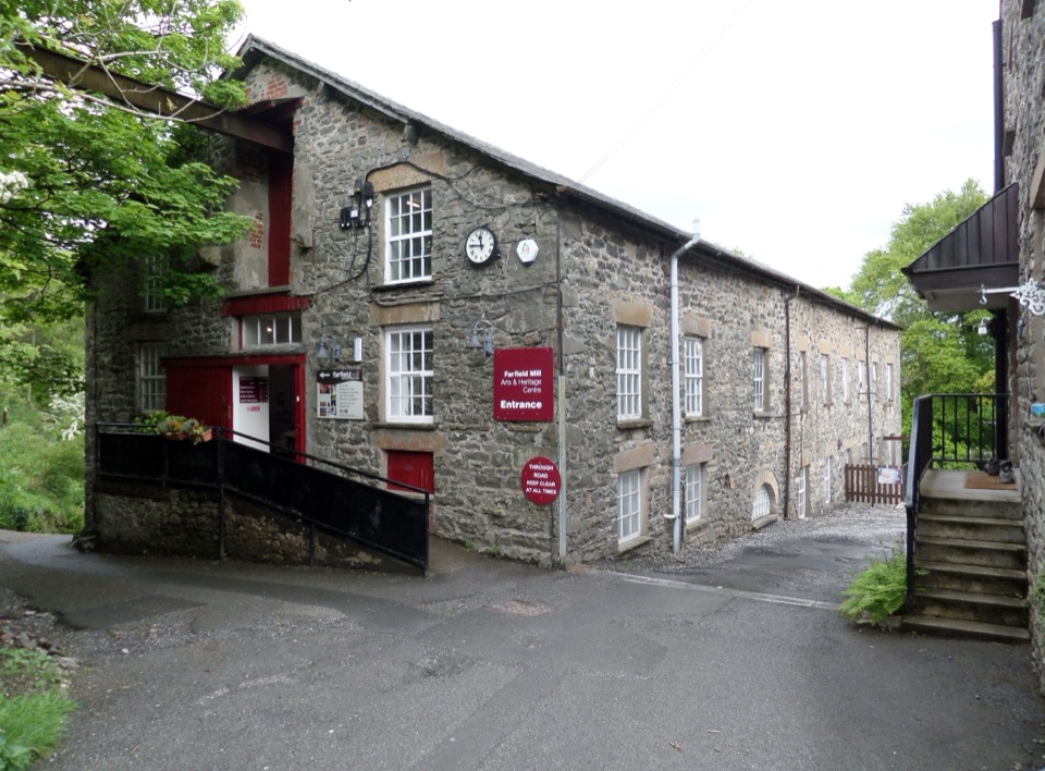 Sight · 5.4 km awayFarfield MillVictorian woollen mill now four floors of art, craft and looms
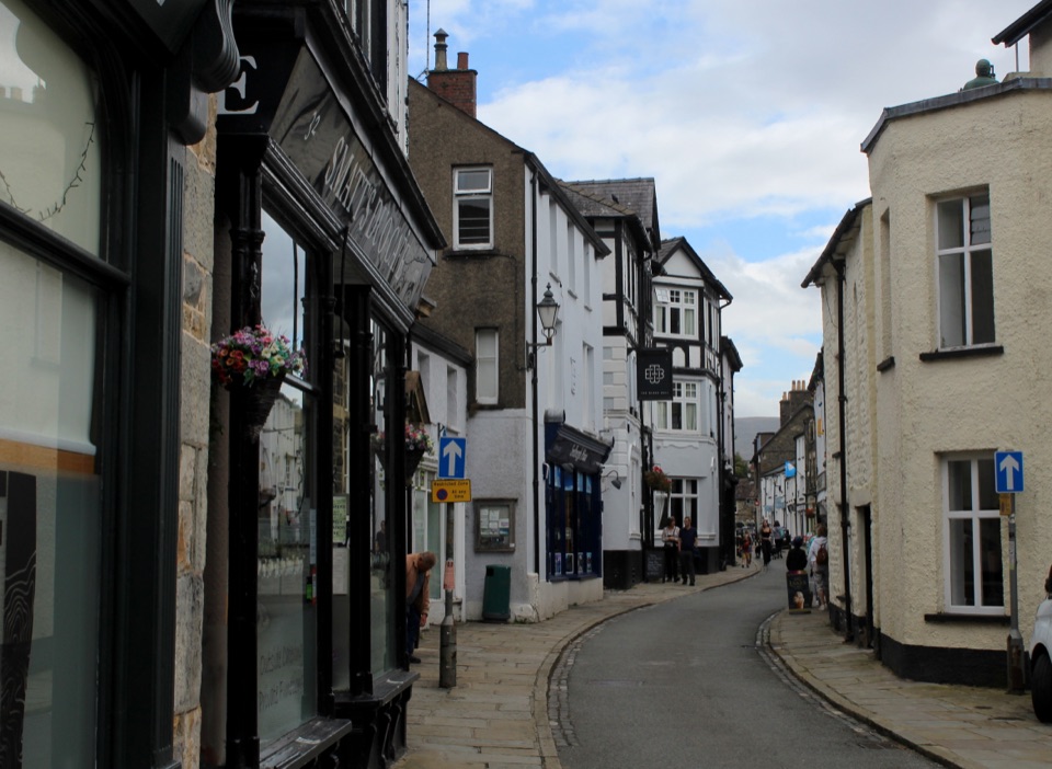 Sight · 6.3 km awaySedberghEngland's book town: stone streets with the Howgill Fells above
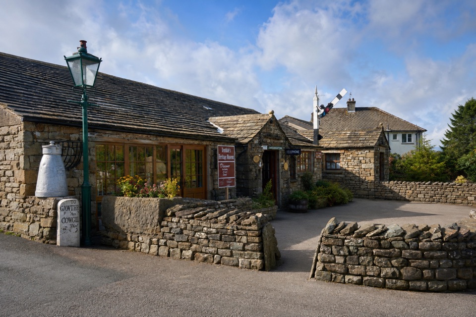 Sight · 9.8 km awayDent Village Heritage Centre & MuseumDales farm life, terrible knitters and a penny farthing indoors
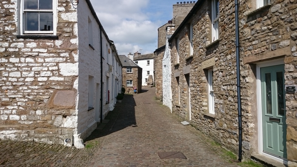 Sight · 10 km awayDentCobbled lanes, whitewashed cottages and Norman stonework deep in Dentdale
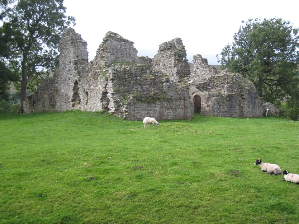 Sight · 10.1 km awayPendragon CastleRuined Clifford stronghold beside the young River Eden in Mallerstang
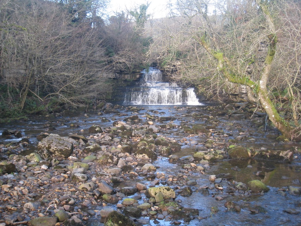 Sight · 15.8 km awayCotter ForceA stile-free woodland stroll to six gentle cascades on Cotterdale Beck
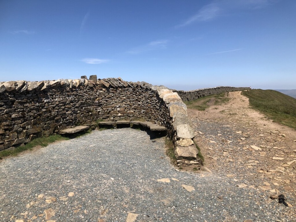 Sight · 16 km awayWhernside SummitWhernside Summit: 736 m of ridge walking above Ribblehead
Parkwolf’s Yorkshire Dales ranking

The audio tour guide for the drive, plus offline maps, trails, and wildlife heatmaps for when the signal drops.





