Parking
Use the roadside triangle beside Ravenstonedale village school. Park considerately, keep through access clear, and do not confuse the Smardale Nature Reserve car park with this route’s start.
Yorkshire Dales National Park, EN
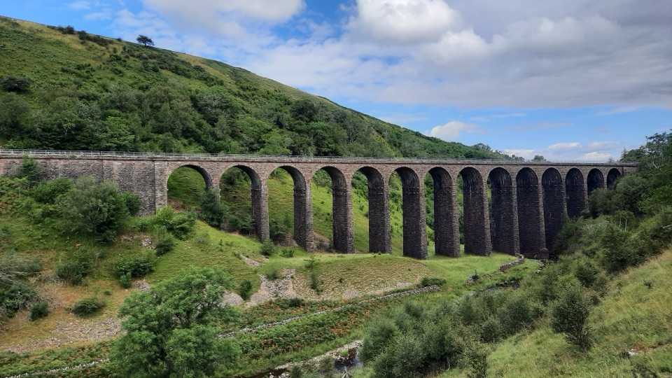
A 14-arch viaduct, beckside pasture and open fell in one figure-of-eight
Overview
Map & elevation
Plan your hike

The highest, rockiest slopes around here are a summer buffet for grizzly bears.
Yorkshire Dales Tour Guide
Parkwolf is a GPS audio tour guide for Yorkshire Dales National Park. As you drive, it chimes in with what’s ahead: hidden gems, upcoming stops, history, geology, and wildlife, right through your car’s speakers.
Recorded for this trailhead
Smardale Gill Walk from Ravenstonedale“You're approaching Ravenstonedale, the start of the Smardale Gill Walk. This nearly seven-mile circuit takes about four and a half hours, with muddy beckside paths, stiles and an open fell.”
Plays as you drive up to this trailhead in the Parkwolf Yorkshire Dales Tour Guide.
More stories near here in the app
“Fantastic app with many points of information… It’s great to just turn on while you’re driving and it gives you an audio tour of the national Park. We love it!!!!”


Trail guide
This is a figure-of-eight circuit of 6.8 miles (11 km) total, not one way, starting and finishing in Ravenstonedale village. Allow about 4.5 hours with normal stops for photos and a sandwich; some route guides put it at 3 to 4 hours, so treat it as a half-day rather than something to squeeze in before dark.
From the roadside triangle by Ravenstonedale school you cross a waymarked stone stile and the A685, then drop into pasture and follow Scandal Beck downstream. The old Smardale Bridge takes you over the water, and from there you join the dismantled railway, passing former lime kilns before the payoff: the 14-arch Smardale Gill Viaduct, carrying the old line nearly 30 m above the beck. The path continues through woodland and past the Settle to Carlisle line toward Smardale village and Smardale Hall, then climbs onto a bridleway over Smardale Fell, with long views toward the Howgill Fells and the North Pennines. The descent returns you to Smardale Bridge and back through pasture and lanes to the village.
Moderate in practice, around 5 out of 10. There is no scrambling or technical ground, but there is plenty of variety underfoot:
Wayfinding is by public footpath and bridleway signs and field gates rather than one continuously branded trail, so keep a map or GPS track handy and count your gates. Boots with ankle support are the sensible choice. This is not an accessible route.
Keep children close at the A685 crossing, along the beck, on the bridges, and around the old railway and industrial structures. The fell section is exposed to wind and weather with little shelter, so carry layers even on a promising day.
The walk is essentially a tour of Victorian engineering set in limestone country. The trackbed you follow was built to haul coal and coke, the lime kilns beside it processed local stone, and the viaduct still stands as the centrepiece. The gill slopes are steep and wooded, while the ground opening out from the viaduct is species-rich limestone grassland, which is why the reserve here is managed for conservation.
Nothing is guaranteed, but the reserve is known for red squirrels, roe deer and dippers along the water, birds of prey overhead, and woodland birds including redstarts, pied flycatchers, wood warblers and nuthatches. The Scotch argus butterfly flies here in late summer. Orchids and rock-rose appear on the grassland, with bluebells and primroses in the wooded sections earlier in the year.
Dogs are welcome on this public route but should be on a lead, under close control around livestock and nesting or grazing wildlife. Parking is roadside in the village road triangle near the school, and there is no dedicated car park at this start, so park considerately and leave access clear.
If 6.8 miles of stiles and open fell is more than you want, there is a shorter walk from the Smardale car park entrance out to the viaduct and back, roughly 3 miles (4.8 km) return, with part of the surface suitable for easier access. It reaches the same landmark by a different and gentler route.
Wildlife
 10 sightingsEurasian OtterMost seen around 7 PMSighting map
 11 sightingsAtlantic SalmonMost seen around 7 AMSighting map
 12 sightingsShort-eared OwlMost seen around 7 PMSighting map
 22 sightingsWestern Barn OwlMost seen around 6 AMSighting map
 27 sightingsTawny OwlMost seen around 7 PMSighting map
 34 sightingsCommon KingfisherMost seen around 7 AMSighting map
Sighting maps show where each species has been reported across Yorkshire Dales. Wildlife moves, so no sighting is guaranteed.
Keep exploring
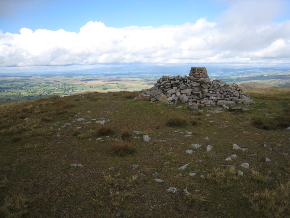 ChallengingWild Boar Fell16.1 km · 5 hr · 7 km awayAiry 708 m plateau above Mallerstang, hidden tarn, waterfall finish
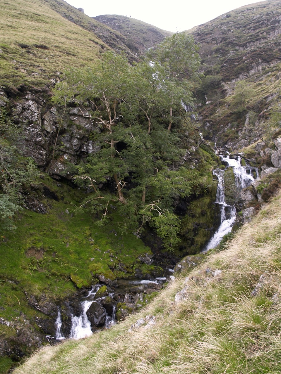 ChallengingCautley Spout and The Calf Circular8.4 km · 3.8 hr · 7.6 km awayClimb beside a spectacular waterfall to the Howgill Fells' highest summit
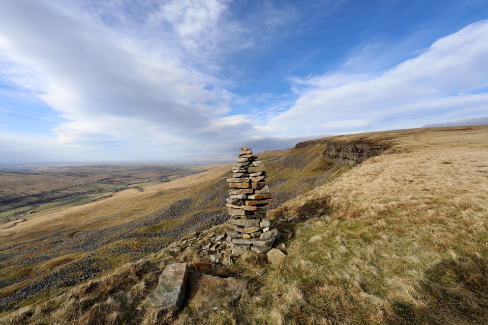 ModerateMallerstang Edge and High Seat Circular11.5 km · 4.5 hr · 9.1 km awayOpen-moor climb to a broad escarpment, then a steep pathless gill descent
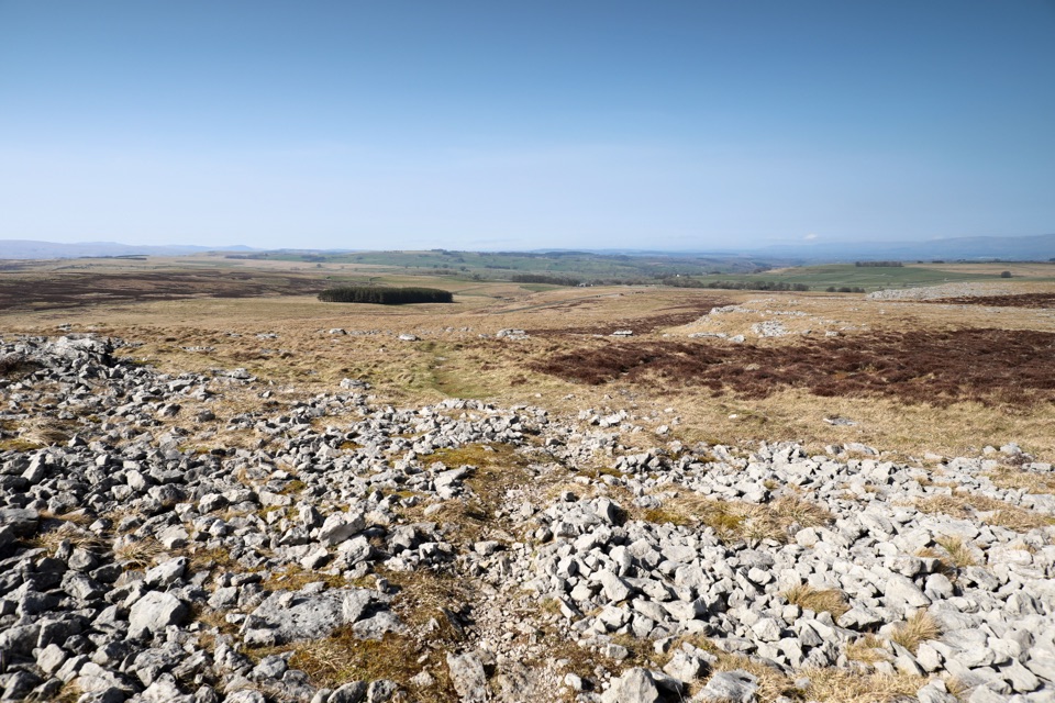 ModerateOrton Scar Walk6.4 km · 2.5 hr · 10.8 km awayLimestone pavement, a hilltop beacon and a stone circle in one loop
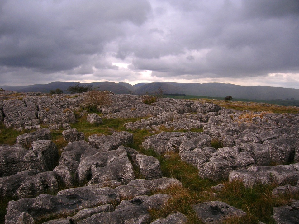 ModerateGreat Asby Scar Walk13.8 km · 4.8 hr · 11.2 km awayLimestone pavement, a Romano-British fort, and wide 412 m summit views
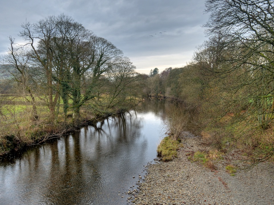 ModerateRiver Rawthey Accessible Walk2.5 km · 1.3 hr · 13.5 km awayTown pavements to a wooded riverbank, herons, dippers and picnic benches
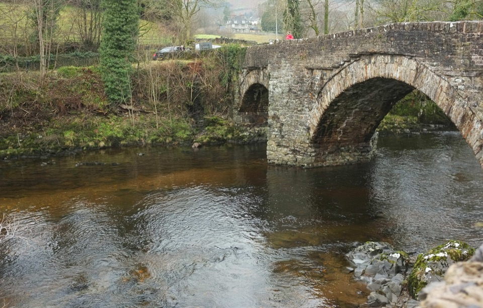 EasySedbergh and Millthrop4 km · 1.3 hr · 13.5 km awayRiverside loop to Millthrop Bridge, then field paths and Akay Wood
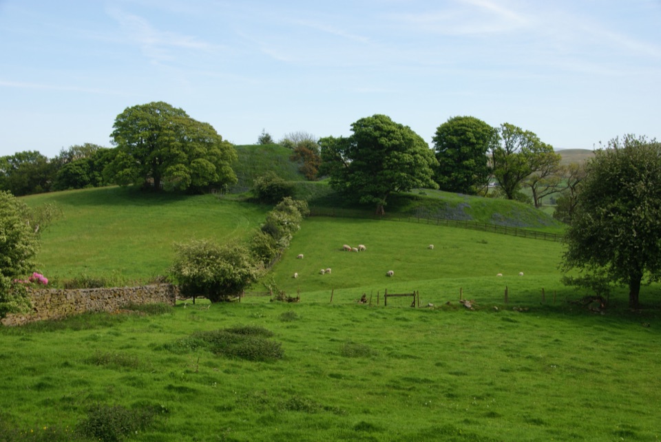 ModerateSedbergh to Stone Hall2.9 km · 1.3 hr · 13.5 km awayA compact field-and-lane loop from Sedbergh with castle mound views
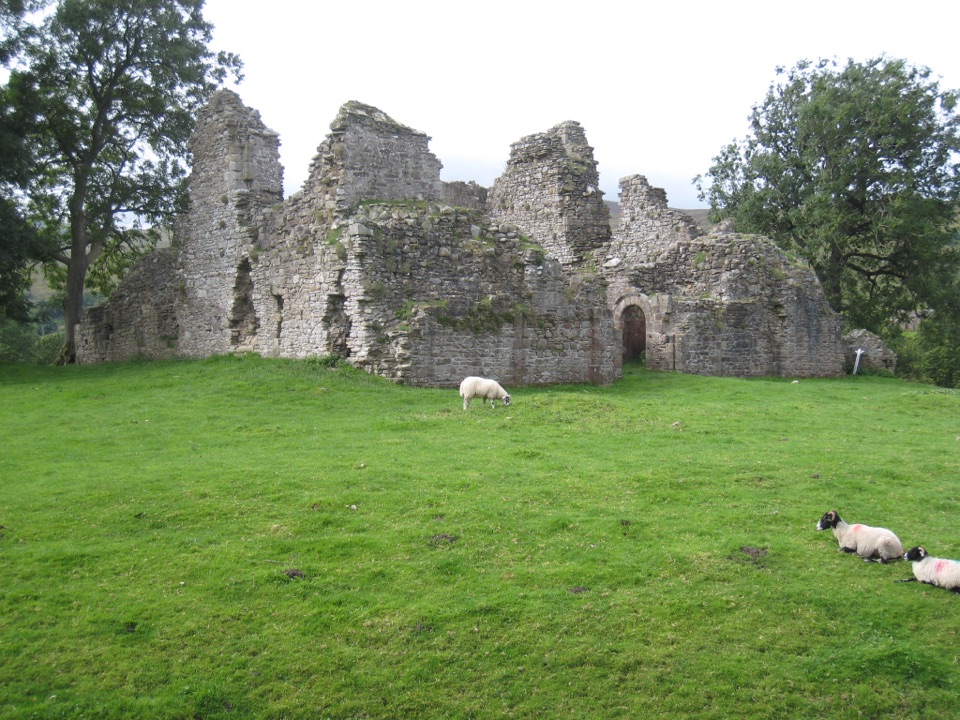 Sight · 6.1 km awayPendragon CastleRuined Clifford stronghold beside the young River Eden in Mallerstang
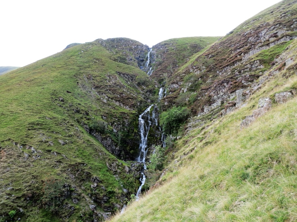 Sight · 7.8 km awayCautley SpoutCautley Spout, England's highest above-ground cascade, tumbles nearly 200m
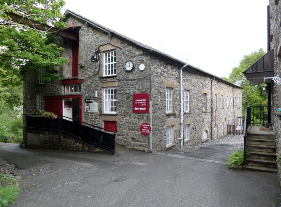 Sight · 13 km awayFarfield MillVictorian woollen mill now four floors of art, craft and looms
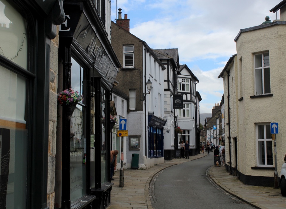 Sight · 13.6 km awaySedberghEngland's book town: stone streets with the Howgill Fells above
Parkwolf’s Yorkshire Dales ranking

The audio tour guide for the drive, plus offline maps, trails, and wildlife heatmaps for when the signal drops.





