Pros & cons
PROS
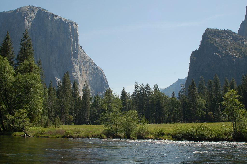
- Protected Wild & Scenic River with classic valley views and meadows
- Easy access via picnic areas, pullouts, and riverside spots
- Seasonal rafting and mellow summer wading/swimming
CONS
- Spring and early summer currents are swift and hazardous
- Parking at popular picnic pullouts fills early in peak season
Overview
The Merced River threads the length of the Valley and beyond, fed by high-country snowmelt from the south side of Mount Lyell. Its South Fork drops through Wawona and Hite Cove before joining the main stem downstream of El Portal. Much of Highway 140 follows this scenic corridor. The river is federally designated Wild & Scenic, recognized for its scenery, geology, and fisheries.
How the River Shapes the Valley
As the Merced enters the Valley, its gradient eases and sediments steadily fine downstream. It builds a broad terrace of sand and gravel about 2–2.5 meters above typical summer flows—home to many of the Valley’s meadows. Like other meandering rivers, it nibbles at outer bends and deposits on inner bends; park managers use meander‑migration science to guide restoration while keeping access intact.
Ways to Experience It
- Classic stops: Swinging Bridge picnic area delivers mirror‑like reflections toward Yosemite Falls when the water is calm. Cathedral Beach offers river access and big El Capitan views. Pullouts along El Portal Road give intimate, fast‑water perspectives just outside the Valley.
- River walks: Outside the park, the riverside path near Briceburg offers an easy, scenic stroll along the water.
- Swimming and wading: In lower‑flow months, mellow in‑Valley spots are common; the South Fork around Wawona is a summer favorite. Always treat the water as cold snowmelt.
- Rafting and paddling: In spring/early summer, guided whitewater trips run downstream of El Portal. In the Valley, you can rent rafts and float downstream with a return shuttle from Sentinel Beach when flows allow.
- Fishing: Only fish 12 inches or larger may be kept, with artificial lures and barbless hooks; catch‑and‑release is encouraged. Always check current California regulations before you go.
Facilities and Logistics
Day‑use picnic areas and pullouts line the corridor, especially along Highway 140 and in the Valley. Expect picnic tables, grills at most sites, trash/recycling, and often vault toilets; they’re first‑come, dawn‑to‑dusk. Swinging Bridge is popular for river access, though restrooms there can be smelly and shade limited. Campfires and overnights are only in designated campgrounds—day use only at picnic areas. Food, fuel, and Wi‑Fi are limited; plan ahead and pack your picnic.
Seasonal Feel and Safety
- Spring to early summer: High, fast, dramatic flows—beautiful but dangerous. Keep kids close, avoid slippery banks, and use extreme caution near the water.
- Mid to late summer: Lower, clearer, and more relaxed for picnics and mellow floats—still cold.
- Fall: Typically low and crystal clear, great for scenic drives along Highway 140; travelers often note a one‑lane, traffic‑light detour near a long‑term slide area along the river.
Around water, use PFDs when floating and never dive or jump from bridges.
Why It Matters
The Merced is the Valley’s lifeblood, sustaining meadows, riparian habitat, and wildlife while offering easy, varied ways to experience the park’s granite scenery from water level. Ongoing restoration aims to let the river behave naturally while keeping visitor access possible.
Best Time to Visit
- For mellow floats and swims: mid to late summer, when flows recede.
- For big‑water drama and roaring sound: spring through early summer.
- For clear, reflective water and leisurely exploring: fall. On peak‑season weekends, arrive early for picnic parking and river access.
Where it is
37.6026, -120.1016Tips for Merced River
- 01Arrive early in peak season and on weekends for picnic parking and shade.
- 02Expect cold snowmelt even in summer; wade carefully and stay within your limits.
- 03Use PFDs when floating and never jump or dive from bridges.
- 04For serene photos, look for reflections at Swinging Bridge when the water is calm.
- 05Anglers: barbless artificial lures only, 12-inch minimum to keep; check current regulations.
Amenities
Near Merced River
All places →All trails →
17.7 mi awayMerced GroveQuieter giant sequoia grove reached by a short downhill hikeTrailhead · Parking
18 mi awayMerced Grove TrailQuietest giant sequoias—short hike, big trees, big calm.Moderate · 3 mi · 2.5 hr
18.2 mi awayEl Portal Gas Station and MarketClosest 24/7 fuel and grab-and-go eats before the Arch Rock gateGas Station · Store
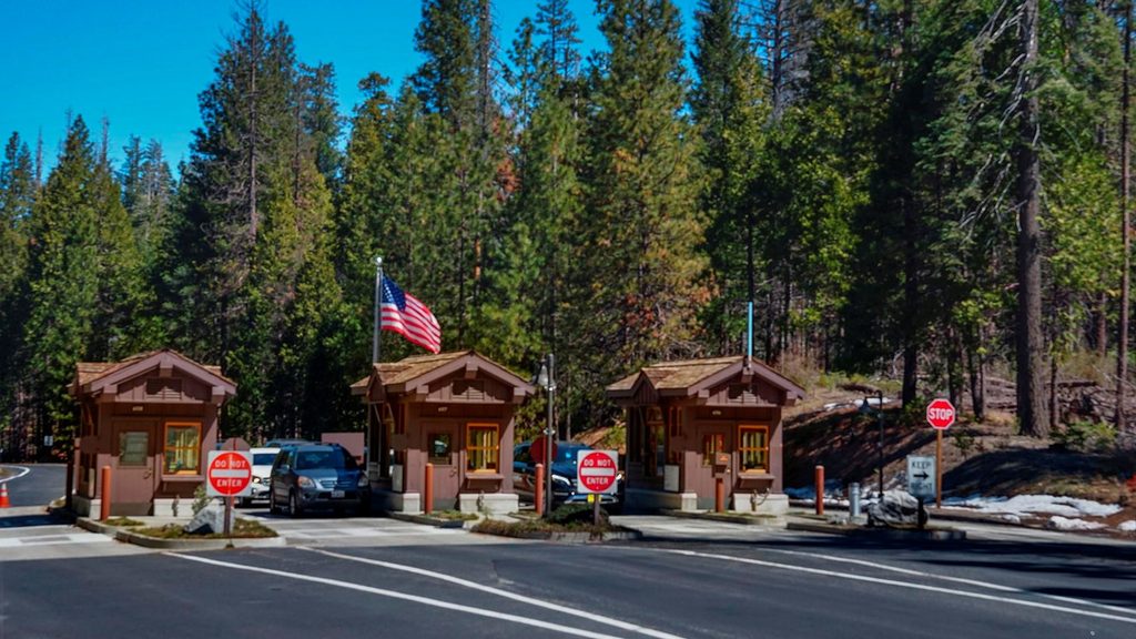
18.4 mi awayBig Oak Flat Entrance StationWest-side gateway with quick access and a handy info stopEntrance Station
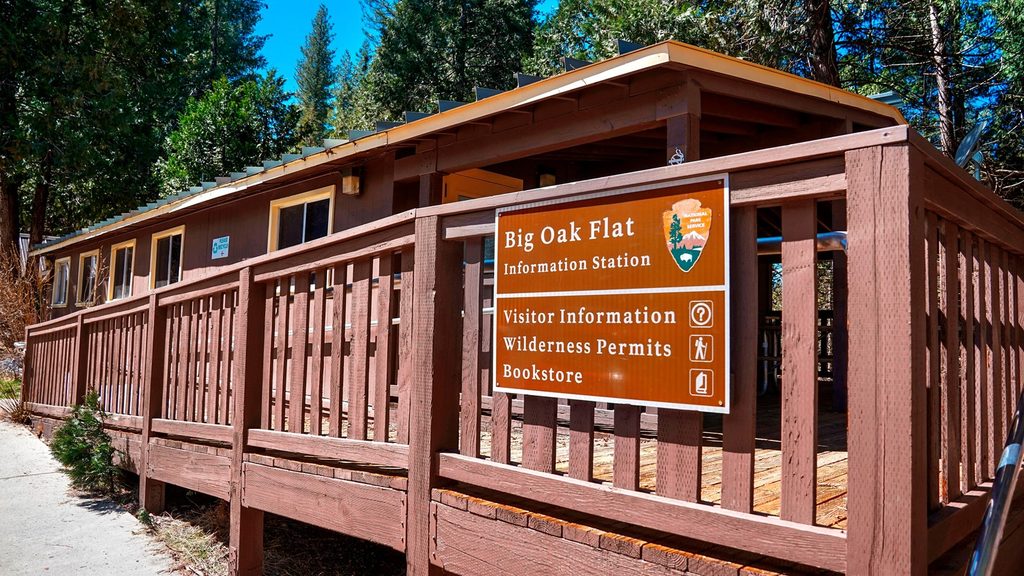
18.4 mi awayBig Oak Flat Information StationQuick permits, maps, and restrooms just past the 120 entranceRestroom · Parking
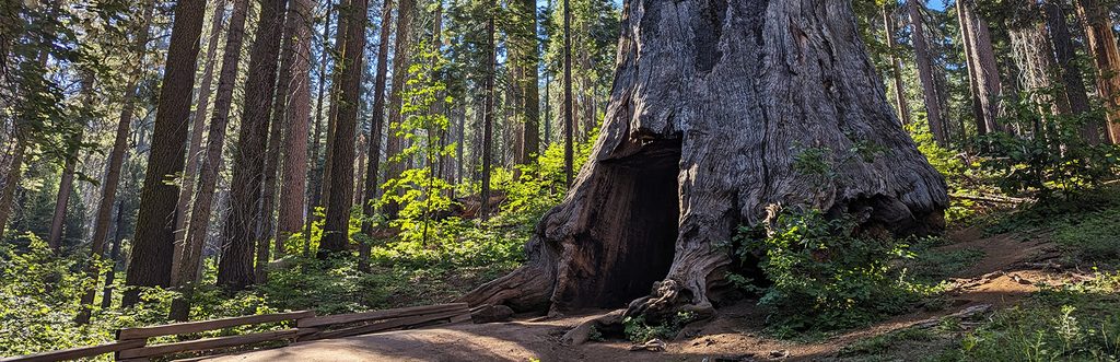
19.4 mi awayTuolumne Grove Nature TrailA quieter sequoia grove with a steep climb back to the carModerate · 2.5 mi · 1.5 hr
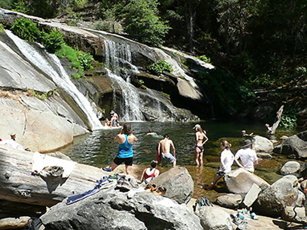
19.5 mi awayCarlon Falls TrailShaded river stroll to a swim-friendly waterfall near Hwy 120Easy · 3.8 mi · 1.5 hr
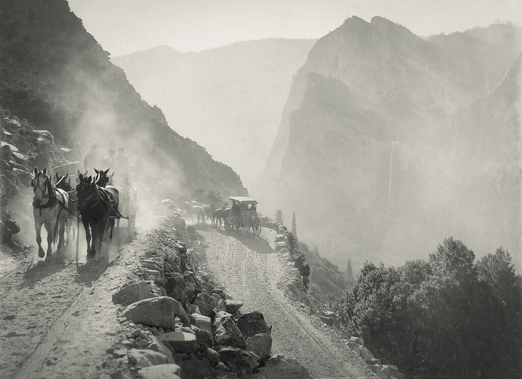
21.4 mi awayOld Big Oak Flat Road TrailHistoric zigzags to big Valley views without the crowdsChallenging · 7.8 mi · 4.1 hr