
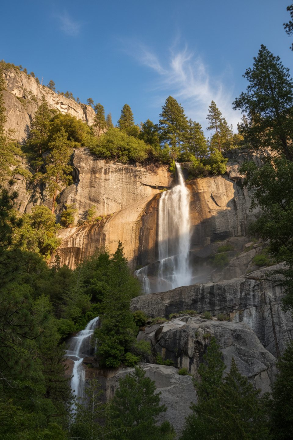
Place · 1.2 mi away
Challenging
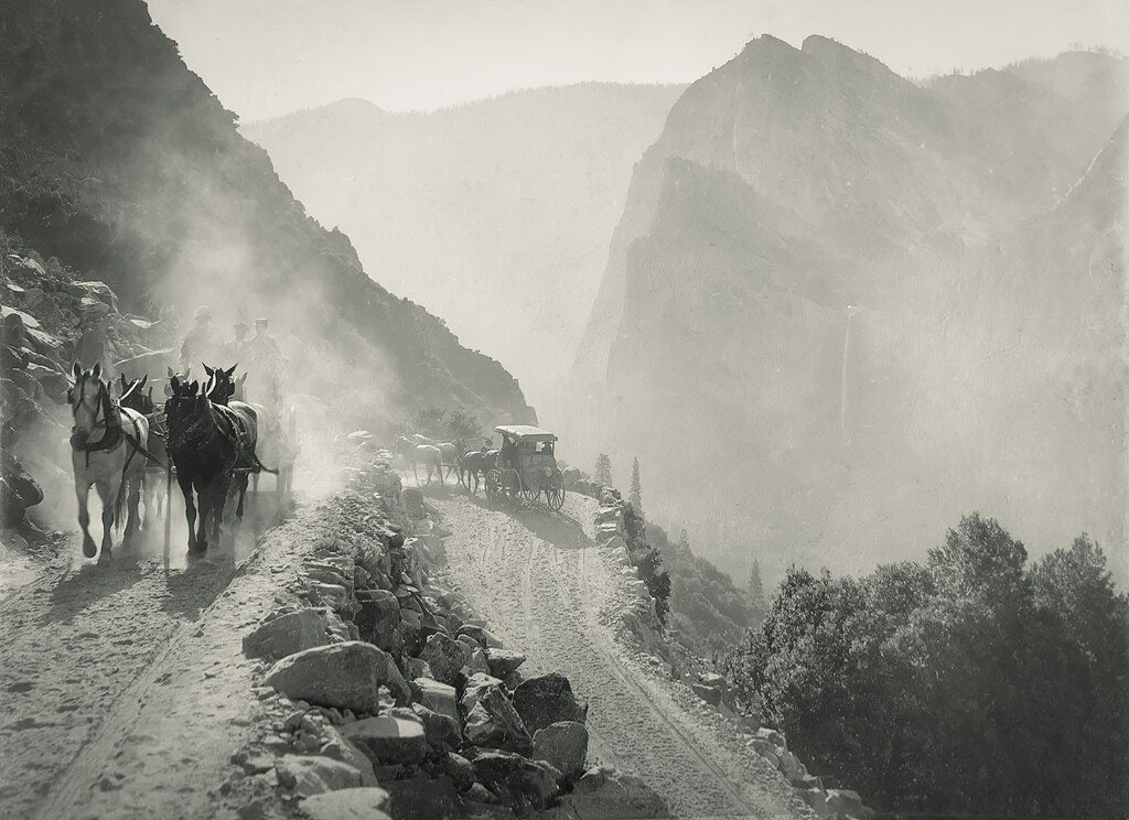
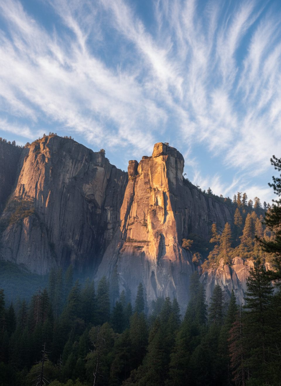
This is the old road grade that once dropped wagons and early cars into Yosemite Valley. Today it’s an unmaintained hikers’ route that trades crowds for history, solitude, and sweeping, slightly different angles on El Capitan and Bridalveil Fall. Expect old pavement, dry‑laid stone walls, airy traverses across rockslide zones, and just enough scrambling to keep it spicy.
The classic Valley “zigzag” to Rainbow View is an out‑and‑back of about 7.8 miles total with roughly 1,500–1,800 feet of climbing. Variants shorter than this exist, but the best payoff is at Rainbow View, where you’ll find big Valley panoramas and remnants of the historic overlook. Time‑wise, plan around 4–5 hours depending on pace and conditions. There’s no official maintenance—route finding matters, especially beyond the mid‑route slide areas.
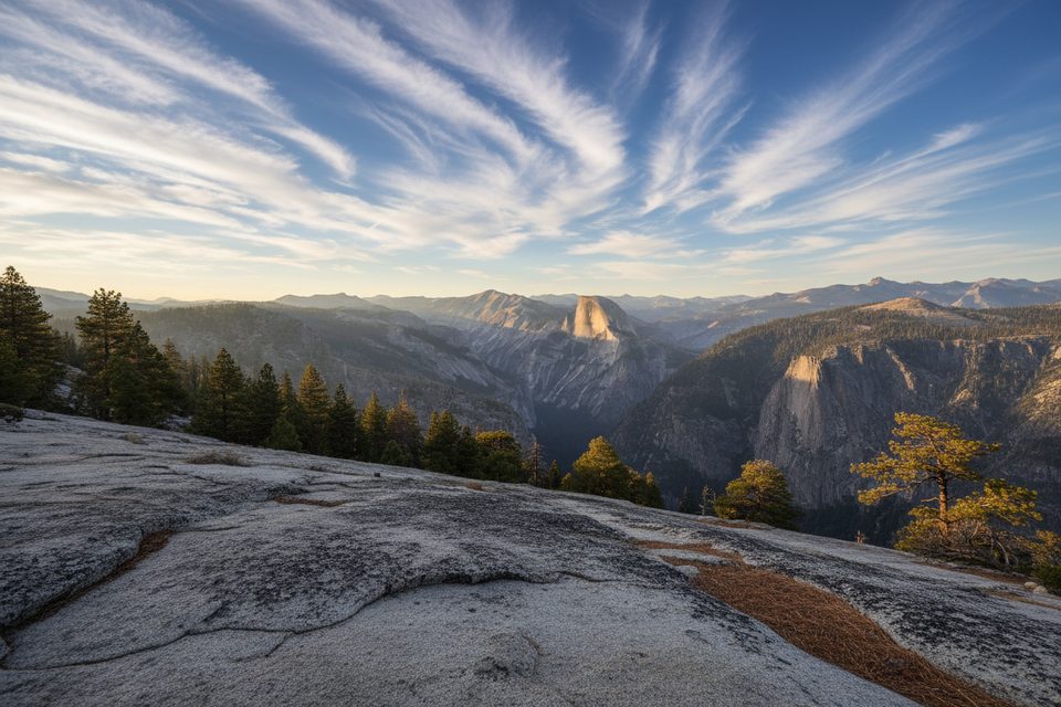
You’ll start in woods and quickly hit open, sunny slopes from a past burn—wildflowers can be excellent in season, but shade is limited early. Several rockslides interrupt the old grade; they’re generally manageable with hands‑on moves and sure footing, but some sections feel exposed. The reward is a wider, less clichéd perspective on the Valley than the usual viewpoints, with intact stretches of old asphalt and retaining walls that make the history pop underfoot.
Go in spring or fall for cooler temps and clearer air; mornings bring softer light on El Capitan and the least heat on the exposed slopes. After storms, freeze–thaw cycles, or very wet winters, rockfall risk increases—avoid unstable weather windows and turn around if anything feels off. Summer can be hot on the burn scar; start early.
If you like history underfoot, quiet views, and a bit of adventure, this is an underrated Valley gem. If you want a signed, groomed path with guardrails, look elsewhere.
Park legally along Northside Drive near the V7 marker or near the base of El Capitan; look for a utility/woodlot road to gain the old paved grade. There is no signed trailhead.
Rockfall is a real hazard—avoid during/after storms or freeze–thaw. Unmaintained route with rockslides, loose talus, and faint tread; some exposed traverses. Limited shade and little to no reliable water. Turn around if slide crossings feel unsafe. No pets on this trail.
Place · 1.2 mi away
Place · 1.4 mi away
Place · 1.5 mi away
Place · 1.6 mi away
Challenging · 2.5 mi away

Easy · 3.2 mi away
Challenging · 3.3 mi away
Easy · 4.7 mi away

Parkwolf Tour Guide
