
Place · 0 mi away
Challenging
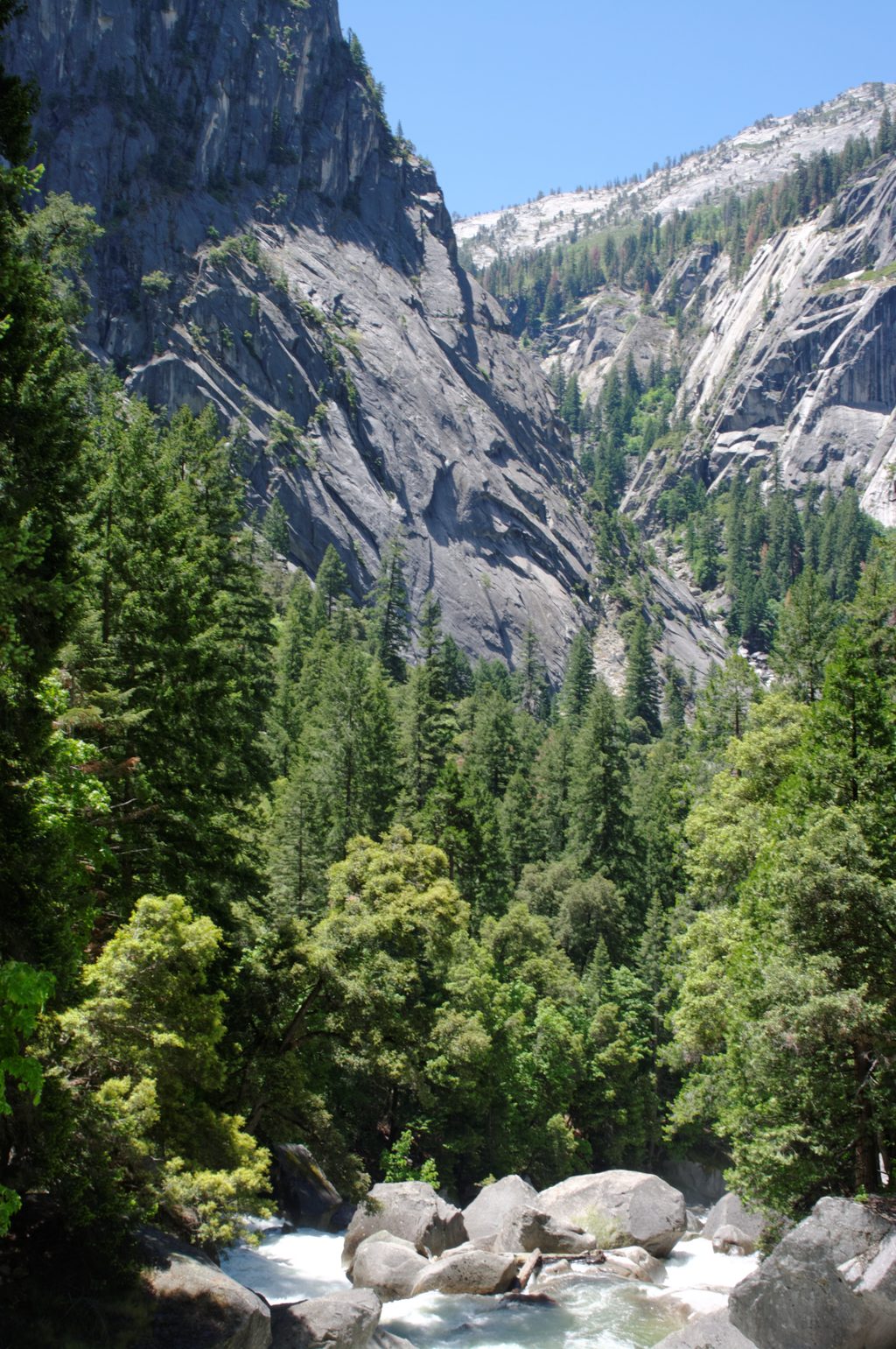
The John Muir Trail is a 211-mile Sierra Nevada classic running from Yosemite Valley’s Happy Isles to the summit of Mount Whitney. It shares most of its length with the Pacific Crest Trail, stacking big alpine passes, polished granite, and countless high-country lakes into one sustained, world-class traverse. Expect major elevation—from the low point in Yosemite Valley around 4,000 feet to Mount Whitney at 14,505 feet—so the effort is real, but the payoff is huge.
Most thru-hikers go southbound from Yosemite to Whitney to acclimatize gradually—the northern start is lowest, and the highest passes cluster toward the southern end. While outliers can rush it, a realistic, enjoyable pace is about 20–25 days end to end. Within Yosemite, you’ll climb from Happy Isles past big waterfalls toward Little Yosemite Valley, roll through the Sunrise/Cathedral high country into Tuolumne Meadows, then follow mellow Lyell Canyon before committing to alpine terrain toward Donohue Pass—where you exit the park.
A Yosemite wilderness permit is required for a continuous JMT. Southbound crossings of Donohue Pass are tightly limited, making those permits scarce—build flexibility into dates and trailheads. Bear canisters are required throughout Yosemite; hanging food isn’t allowed. You can rent canisters at wilderness permit stations, and there are food lockers at Little Yosemite Valley, High Sierra Camps, and the Tuolumne Meadows Backpackers’ Campground. Permit holders may stay one night in backpackers’ campgrounds in Yosemite Valley or Tuolumne Meadows, which is handy for staging or resupply.
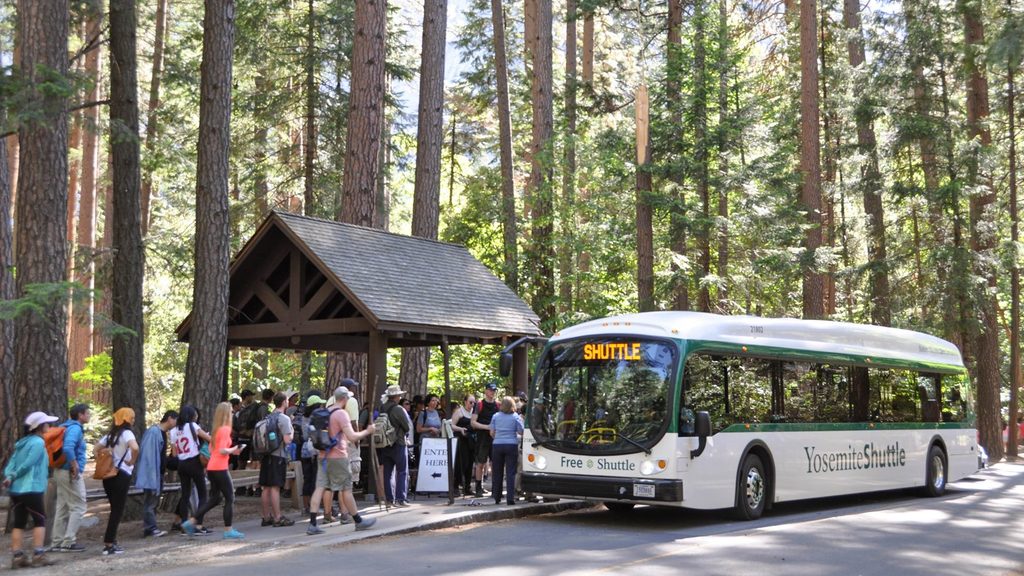
For resupply inside the park, post offices in Yosemite Valley and Tuolumne Meadows accept General Delivery—label packages “hold for hiker until [date]” and note if they contain food. Private carriers don’t deliver to General Delivery addresses. Basic food and camping goods are also sold in the Valley and Tuolumne Meadows. Long-term parking exists in Yosemite Valley and Tuolumne Meadows; public buses (like the Mammoth–Yosemite Valley connection) can help with shuttles.
From the glacially carved granite of Yosemite—domes, meadows, and U‑shaped valleys—to the stark high passes of the southern Sierra, the JMT is a geology lesson underfoot. You’ll thread a string of alpine lakes and wide-open basins, with the route’s highest and most sustained passes arriving after you’ve left the park and are well into your stride.
The sweet spot is typically mid-summer into early fall, but the real answer is “it depends.” Big-snow years push safe window later; snow and ice can linger on high passes well into summer, and runoff can make creek crossings serious. Plan to climb high passes early in the day—afternoon storms are common in the mountains. Flex your dates to sidestep late-season closures or smoke if needed.
It’s strenuous, permit-scarce, and conditions swing with snow and fire seasons. But if you want the Sierra’s greatest hits in one continuous line—with a logical acclimatization curve by starting in Yosemite—this is the one.
Use long-term parking in Yosemite Valley (for Happy Isles starts) or Tuolumne Meadows (for Lyell Canyon starts). Public transit options connect Mammoth Lakes and Yosemite Valley; plan shuttle logistics around your direction.
High altitude, variable early-season snow/ice, swift creek crossings, and frequent afternoon thunderstorms. Bear canisters are mandatory in Yosemite; no food hanging. Southbound Donohue Pass crossings are quota-limited—secure permits before committing travel.
Place · 0 mi away
Place · 0.2 mi away
Place · 0.2 mi away
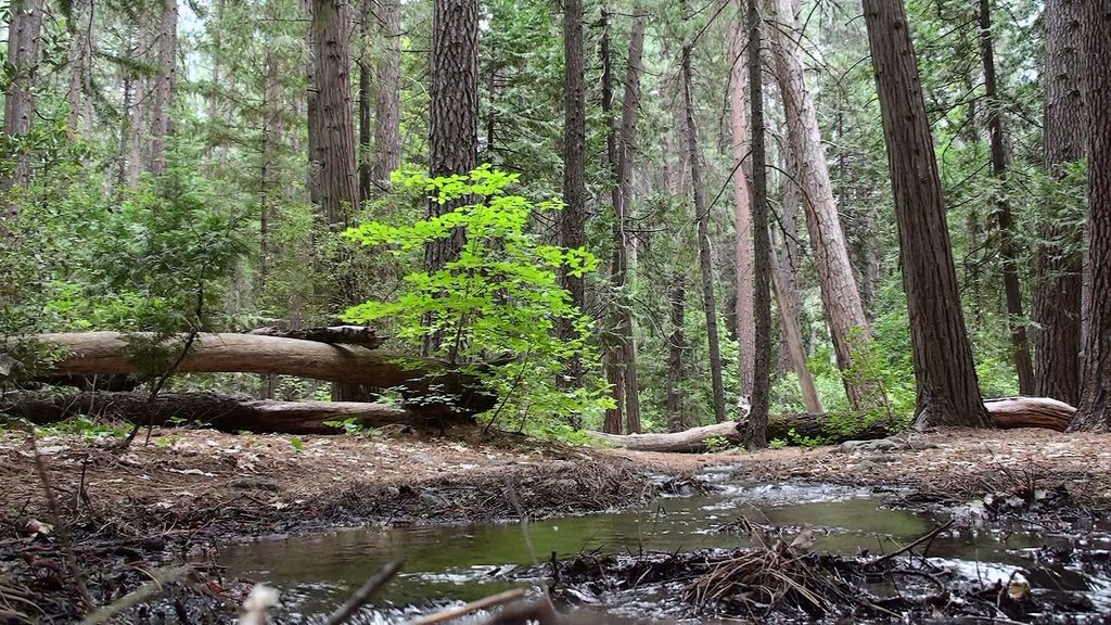
Place · 0.4 mi away
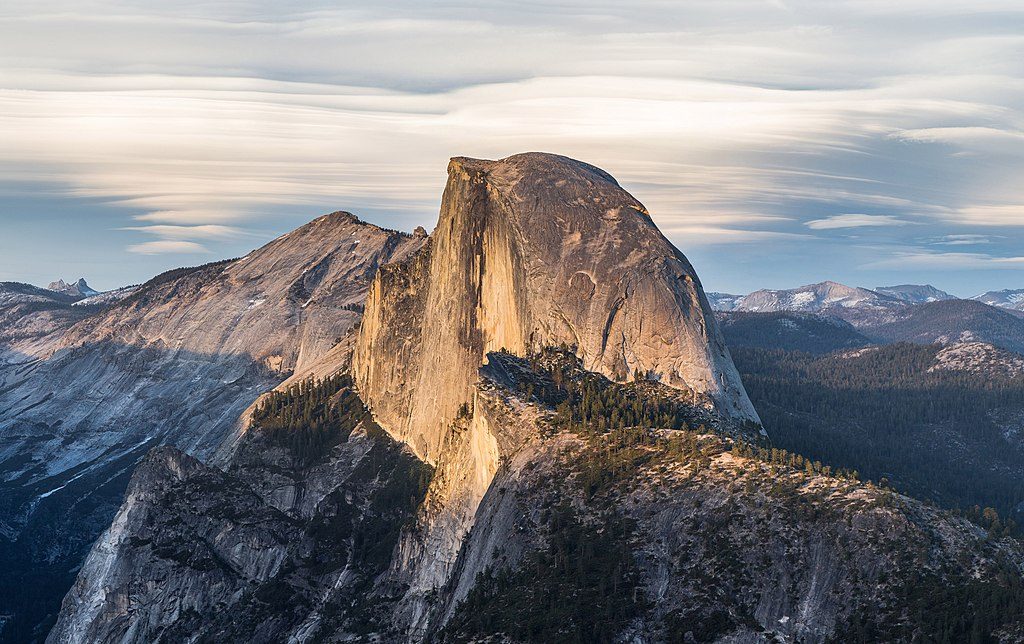
Challenging · 0 mi away
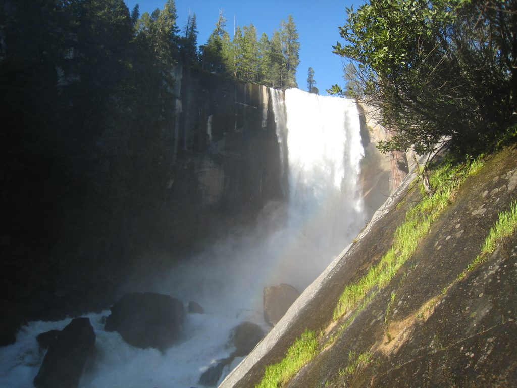
Challenging · 0 mi away
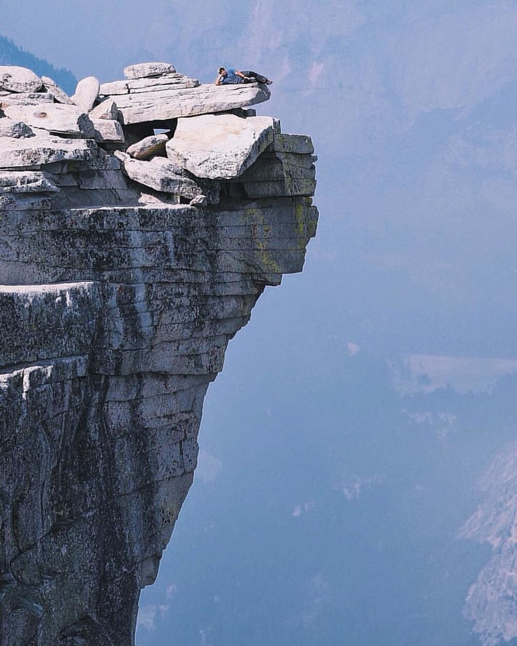
Challenging · 0 mi away
Easy · 0.2 mi away

Parkwolf Tour Guide
