
Place · 0 mi away
Challenging
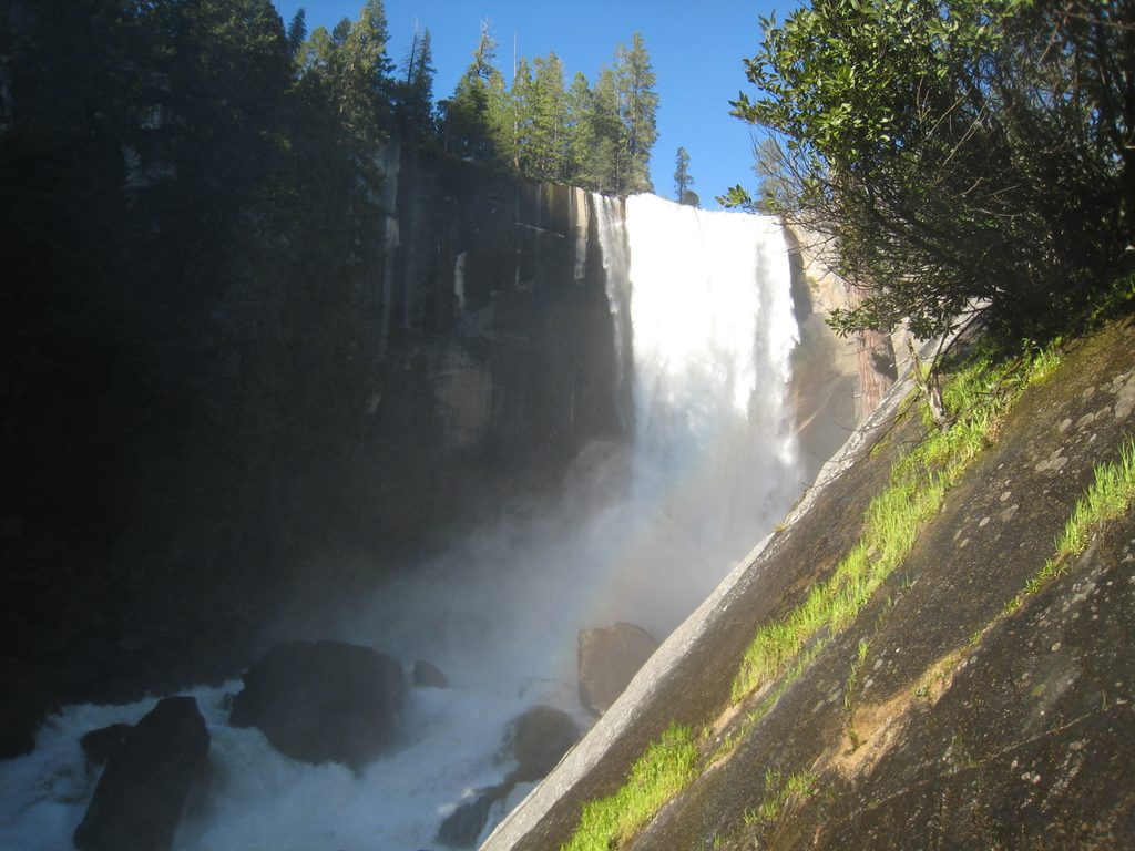
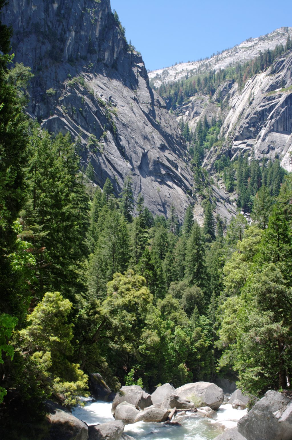
Yosemite’s signature waterfall hike starts at Happy Isles and climbs beside the Merced River to Vernal Fall and Nevada Fall. Expect steep stone stairs, spray-soaked granite, and huge payoff views. The classic way to see both falls is the loop: up the Mist Trail and down the John Muir Trail (about 6.4 miles total), which trades the slick stairs for a drier, knee-friendlier descent with big vistas of Liberty Cap and Nevada Fall.
From the trailhead, a steep, partially paved climb leads to the footbridge—a good turnaround for families. Beyond, the Mist Trail lives up to its name: the spray near Vernal can drench you in spring and early summer, and the stone steps are slick. Past Vernal, the crowds thin and the terrain opens up on the way to Nevada, with a stout switchback section near the top. Descending the JMT brings wide-angle views of Nevada Fall beneath Liberty Cap—less drama underfoot, more drama in the scenery.
Late spring to early summer (April–June) is prime: strongest flow, rainbows in the spray, and cooler temps. It’s also when you’ll get the wettest, so bring a light shell. In peak season and on weekends, start early to beat both heat and crowds; the section to Vernal is especially busy, but traffic thins toward Nevada. Winter can bring snow/ice and seasonal closures of steep sections.
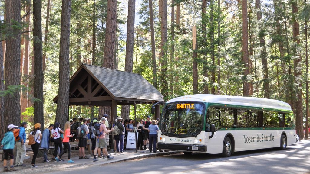
There’s no parking at the trailhead. Park at Curry Village and either walk roughly three-quarters of a mile or take the free Valley shuttle to Happy Isles. Drinking water is available at the shuttle stop and at the Vernal Fall Footbridge (generally May–October); beyond that, carry what you need. Restrooms are at the trailhead area, at the footbridge (seasonal), and near the tops of Vernal and Nevada. The trail itself doesn’t require a permit, but vehicle entry may use timed reservations in busy seasons—check current details. Cell service is unreliable; download maps before you go.
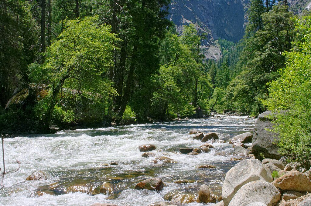
The Mist Trail’s steps can be very slick with spray and sand—wear footwear with good traction, take your time, and use railings where provided. Expect to get wet; quick-dry layers help. Never enter the Merced River, Emerald Pool, or Silver Apron—currents are deceptively strong and accidents have occurred. Hydrate, pace yourself, and rest in shade as needed. Portions of the Mist Trail and the JMT can close for maintenance or icy conditions; when the Mist section is closed, detours via the JMT keep the route open.
You’re hiking through classic glacially carved granite country: Liberty Cap towers above Nevada Fall, and when flows are high, spray around Vernal can throw rainbows. The JMT descent offers some of the best viewpoints of the whole river-and-falls complex.
Park at Curry Village; walk about 0.75 miles or take the free Valley shuttle to the Happy Isles trailhead (Stop 16). No parking at the trailhead.
Slick, spray-soaked granite stairs; expect to get wet. Stay off all wet rocks and out of the Merced River, Emerald Pool, and Silver Apron—currents are deadly. Carry enough water beyond the footbridge, watch for heat and dehydration, and check for seasonal closures and detours.
Place · 0 mi away
Place · 0.2 mi away
Place · 0.2 mi away
Place · 0.4 mi away
Challenging · 0 mi away
Challenging · 0 mi away
Challenging · 0 mi away
Easy · 0.2 mi away

Parkwolf Tour Guide
