
Place · 0 mi away
Moderate
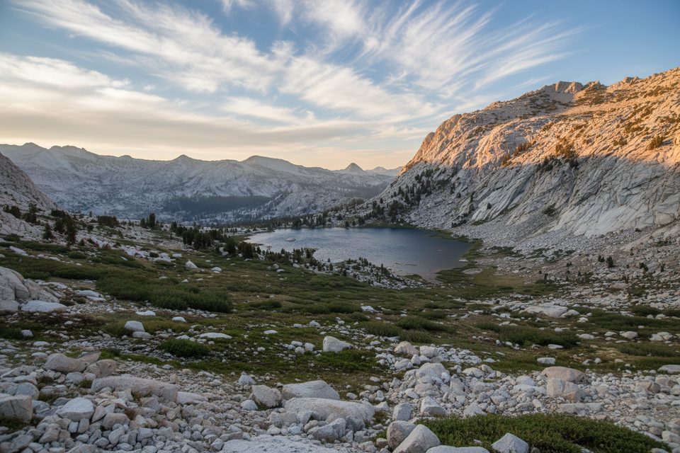
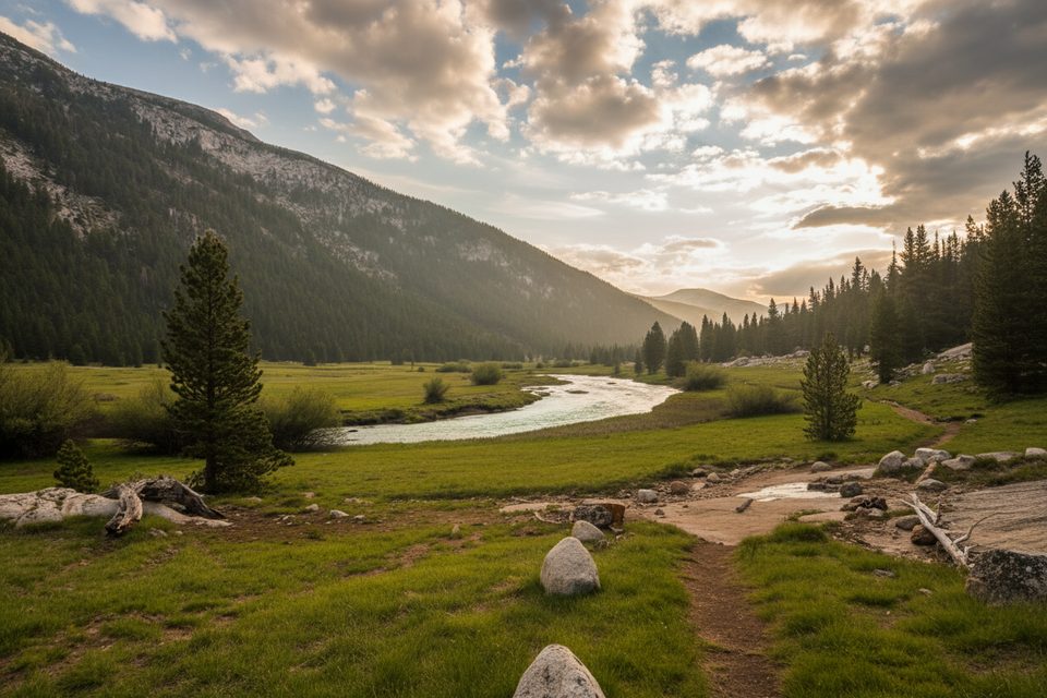
Rafferty Creek is your direct line from Tuolumne Meadows into Yosemite’s high country. It’s roughly 6 miles one way with about 1,400 feet of climbing, topping out just above 10,000 feet. The grade is steady rather than brutal, which is why many backpackers use it as the “gentle” side of the classic Vogelsang–Lyell Canyon loop. Expect a well‑built singletrack that trades shady forest for open granite slabs and big alpine meadows as you gain elevation.
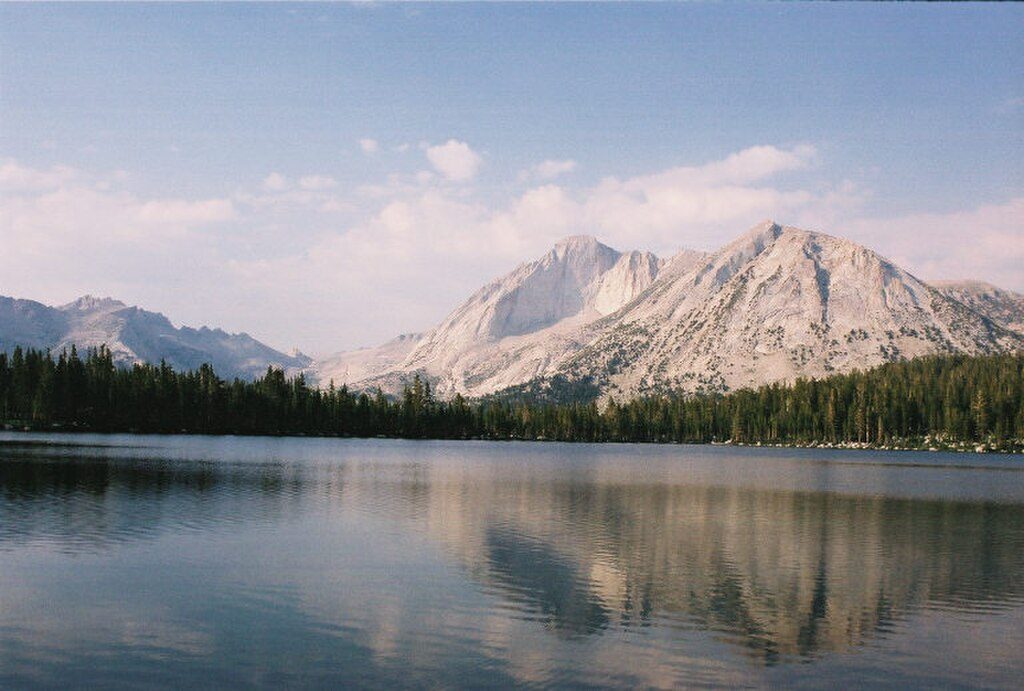
If you’re chasing high‑country lakes and wide‑open views without committing to endless switchbacks, this is your path. From the Rafferty corridor you roll into the Vogelsang basin—home to Fletcher and Vogelsang Lakes, with side trips toward Evelyn and Ireland Lakes. The trail also brushes the John Muir Trail corridor, so the scenery and camp spots feel quintessential Sierra: polished granite, airy meadows, and glassy tarns.
You can hike Rafferty Creek as an out‑and‑back to the Vogelsang area (about 12 miles total) or make it part of a ~20‑mile loop that descends Lyell Canyon. Counter‑clockwise is the preferred loop direction: a gentler climb up Rafferty, then a steeper, faster drop into Lyell later on. An optional spur to Ireland Lake adds roughly 3 miles and a bit more climbing if you’ve got the legs.
This is high country. Much of the upper route is above treeline with limited shade and a mix of sandy tread, meadow segments, and open granite. Water is reliably found along Rafferty/Fletcher Creeks and at the lakes—bring a filter. Afternoon thunderstorms are common in summer, and altitude will slow most hikers a notch on day one.
Overnights require a wilderness permit. Expect standard Yosemite backcountry rules: carry a bear canister, camp at least 100 feet from water and trail, and respect any no‑camping zones in the Vogelsang/Lyell area. Rangers often encourage camping before the busy JMT junction when approaching from Rafferty due to bear activity. Stock and horseback travel are allowed; pets are not. Treat the Vogelsang High Sierra Camp area as backcountry—plan to be fully self‑supported.
Aim for late June through October, bracketed by Tioga Road’s opening and closing. Early season can hold patchy snow into July, especially on north‑facing slopes near 10,000 feet. Go early in the day for cooler temps and calmer skies; save ridge‑top lingering for mornings or after storms have moved on.
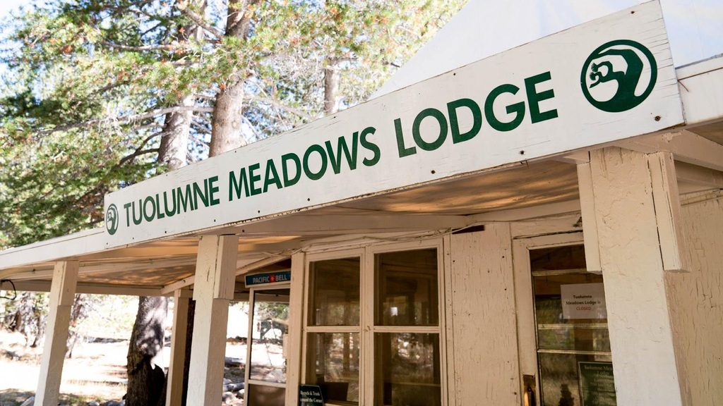
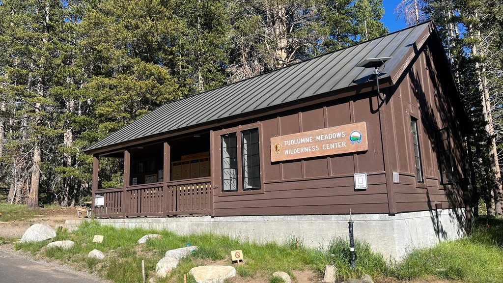
Park near the Tuolumne Meadows Wilderness Center/Dog Lake lot on Tioga Road and follow signs for the Rafferty Creek/Lyell Canyon trailheads.
High altitude and exposure; afternoon thunderstorms and early‑season snow are common. Bear canister required; filter all water. Tioga Road closures bookend the season.
Place · 0 mi away
Place · 0.3 mi away
Place · 0.4 mi away
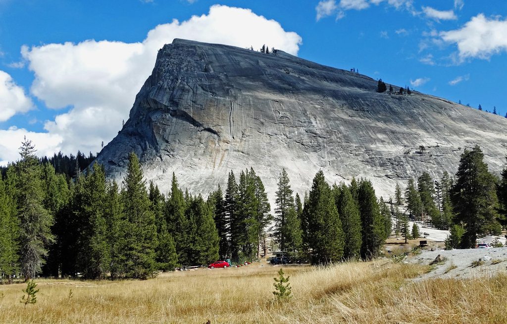
Place · 0.6 mi away
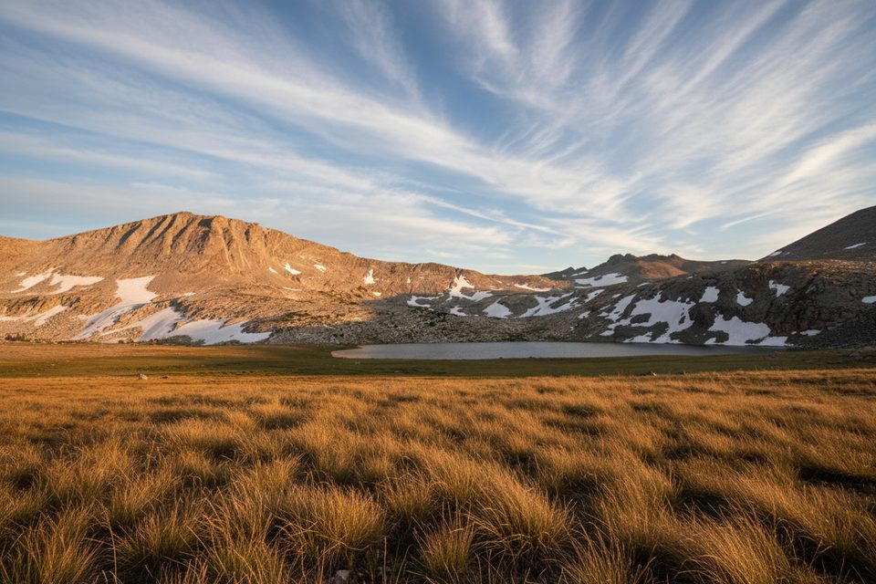
Challenging · 0 mi away
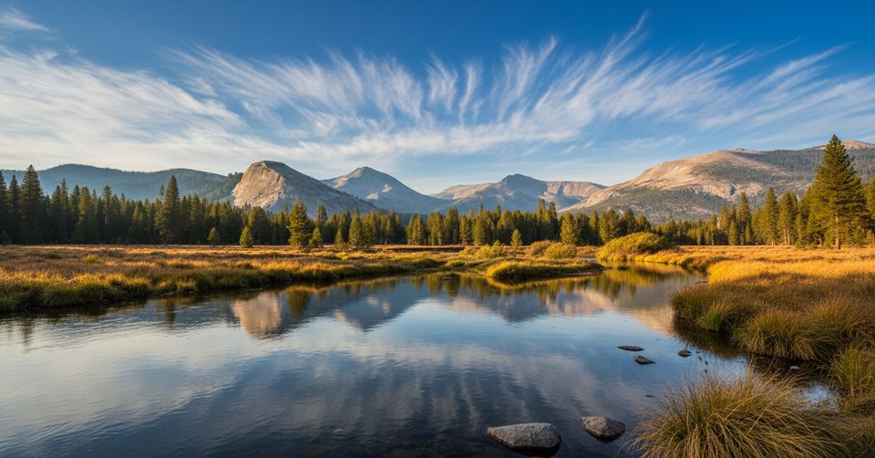
Challenging · 0 mi away
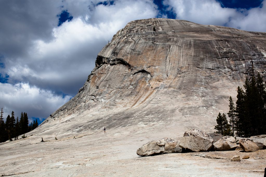
Moderate · 0.8 mi away
Challenging · 0.8 mi away

Parkwolf Tour Guide
